It may be a while before the drought advisories disappear, but since Monday Philadelphia has had more rain than in any entire month since March 2025. And the city of Camden has been clocked well over a half-foot of rain.
In both instances, if it seemed like most of that came in a hurry, it did.
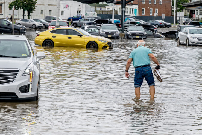
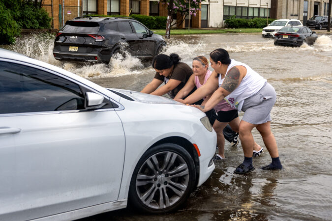
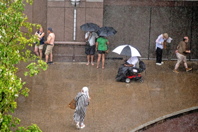
On Thursday, for the second time in a week, downpours set off a flood of warnings in the city, the neighboring counties and Delaware.
And more showers are possible Friday and Saturday, but the atmosphere isn’t expected to upstage its performance since it turned off last weekend’s 100-degree heat.
Thursday’s downpours wrung out 2 and 3 inches of rain in several towns across the region.
Flooding was reported along numerous roads, with vehicles stranded, including in the vicinity of the Ben Franklin Bridge, the National Weather Service said. The rains could continue until 7 or 8 p.m. Thursday, said Alex Staarmann, meteorologist inthe Mount Holly office.
Multiple water rescues have been reported in Wilmington.
Philadelphia broke a 74-year-old record for a July 9 with 2.61 inches of rain measured officially, according to the weather service.
At one point flood warnings had been posted for the city and in all seven neighboring counties.
But the rain lately has been random. And in the grand casino of the atmosphere, that was the case Thursday, and not every place got the soakings.
The drought conditions are likely to persist despite the storms
In the weekly inter-agency U.S. Drought Monitor update posted Thursday, some degree of drought conditions persisted in all of New Jersey, Philly, and the neighboring Pennsylvania counties.
The drought monitor has most of the region was in “moderate drought,” with some improvement in Burlington, Camden, and Gloucester Counties.
But all of Chester County and most Montgomery County were in “severe drought.” Southeastern New Jersey, including the Shore towns, were in “extreme drought.”
Soil moisture levels will remain significantly below normal during the next week, according to the National Oceanic and Atmospheric Administration’s Climate Prediction Center.
(function(){function e(){window.addEventListener(`message`,function(e){if(e.data[`datawrapper-height`]!==void 0){var t=document.querySelectorAll(`iframe`);for(var n in e.data[`datawrapper-height`])for(var r=0,i;i=t[r];r++)if(i.contentWindow===e.source){var a=e.data[`datawrapper-height`][n]+`px`;i.style.height=a}}})}e()})();
And it appears the atmospheric faucets are going to shut after Saturday.
Said Joseph DeSilva, meteorologist at the weather service’s Mounty Holly office, “Next week looks pretty dry.”
Philadelphia so far has confirmed seven heat-related deaths in the last week, bringing the seasonal total to eight, the city health department reported Tuesday.
And officials in the Garden State are investigating 29 “suspected” heat-related deaths, most of them in the central and northern parts of the state, a spokesperson for the New Jersey Health Department said..
Four deaths were reported on Monday, and three additional fatalities Tuesday, said James Garrow, a spokesperson for the Philadelphia Department of Public Health, with an eighth earlier in the season.
No details were available about the victims, including their ages and when and where the deaths occurred.
The possible New Jersey heat-related deaths would have occurred during the record three-day hot spell that ended on July Fourth, the state said.
In Philadelphia, temperatures on those three days hit 101 degrees or higher, the first time that had happened in the period of record dating to 1873, the National Weather Service said.
It also was only the third time that they officially reached triple digits on three straight days.
In New Jersey, the suspected victims ranged in age from the mid-30s to the 80s, said health department spokesperson Dalya Ewais. She added, however, that death toll numbers “are still unconfirmed,” pending forensic examinations.
In the last decade Philadelphia has averaged but five deaths annually, a dramatic drop from the deadly summers of the 1990s.
In 1993, Philadelphia recorded 118 heat-related deaths — compared with 50 in the 10-year period that began in 2017. The eight reported so far are the most since the eight of 2022, according to health department records.
The shock of the 1993 death toll in Philly — which foreshadowed Chicago’s 1995 disaster, and Europe’s in 2003 — led to the creation of the city’s heat-response system, recalled David L. Cohen, who was chief of staff under former Mayor Ed Rendell.
Federal officials have lauded the program as a model for other cities. It includes setting up cooling centers, encouraging people to look in on neighbors, and having the Philadelphia Corporation for Aging set up a heat hotline.
A study published in the Bulletin of the American Meteorology Society in 2025 credited the program with saving 270 lives from 1995 through 1998.
If the forecast holds, the city can give the program a rest at least through the week. No highs of even 90 degrees are expected through Monday.
The waterfall downpours came just as the sun-cooked vegetation was showing those hay-brownish tints and taking on that desperate we-need-a-drink-now look.
“You have to be careful what you wish for in the summer,” said Scott Kleebauer, branch forecaster at the national Weather Prediction Center in College Park, Md.
But sometimes too much is not enough.
While downpours flooded streets and caused Regional Rail problems for SEPTA, which also reported weather-relates signal problems, Kleebauer suggested it wouldn’t hurt for Philadelphia and other parts of the Mid-Atlantic to place an order for more rain.
Through Sunday, Philadelphia’s year-to-date precipitation was about 75% of normal, and even with additional rains on Monday, still was roughly 4 inches — or a month’s worth — below long-term averages, according to the Middle Atlantic River Forecast Center.
More rain might be about the last thing some people would want after rounds of strong storms on Sunday with frequent lightning and downpours on Sunday and Monday, when as much as 2 to 4 inches fell in a short period upon parts of Philadelphia, Bucks, and Burlington Counties, the National Weather Service said.
And in the city of Camden, 4.38 inches was measured, the agency said.
“Numerous roads remain closed due to flooding,” the agency said.
In late morning, moderate flooding was reported along Frankford Creek, and the weather service posted a flood warning that remained in effect until early evening. At one point Kelly Drive was closed due to flooding on the Schuylkill.
Comden County received about 1,000 911 calls just in the stretch of the morning storm, said Dan Keashen, Camden County’s public affairs director.
SEPTA train service on the Trenton line was suspended due to water over the rails. A car got stuck in floodwaters by a rail bridge and Eighth Street and Fairmount Avenue, the weather service reported.
The rains backed off during the afternoon, but the weather service has shower possibilities every day this week, except Wednesday.
The federal Climate Prediction Center’s outlook for the 8-to-14-day period favors above-normal precipitation for the region.
So, is the drought on the run in the Philly region?
Maybe, but droughts are slow to develop and slow to abandon their methodical harvests.
All of New Jersey and Chester County remain under state-declared drought “warnings,” and the majority of the region is under “moderate drought,” according to the interagency U.S. Drought Monitor.
“There’s definitely been some improvement,” said Kleebauer. “Unfortunately there’s been some losers.”
Summer rains are notoriously capricious and random.
“My grass has been happy the past few days,” said Lee Robertson, a weather service meteorologist in Mount Holly, but he added that it’s going to “take a while” to make up the accumulated rain deficits.
But in reality, “It’s really difficult to get everybody to win,” said Kleebauer.
The steering currents aloft that move storms get as lazy as a lot of humans in the heat.
“Stuff just kind of meanders or has slow general motion,” he said. Storms can get stuck in place, and the more one place gets, the less other places will get. Even in a juiced atmosphere, moisture is finite.
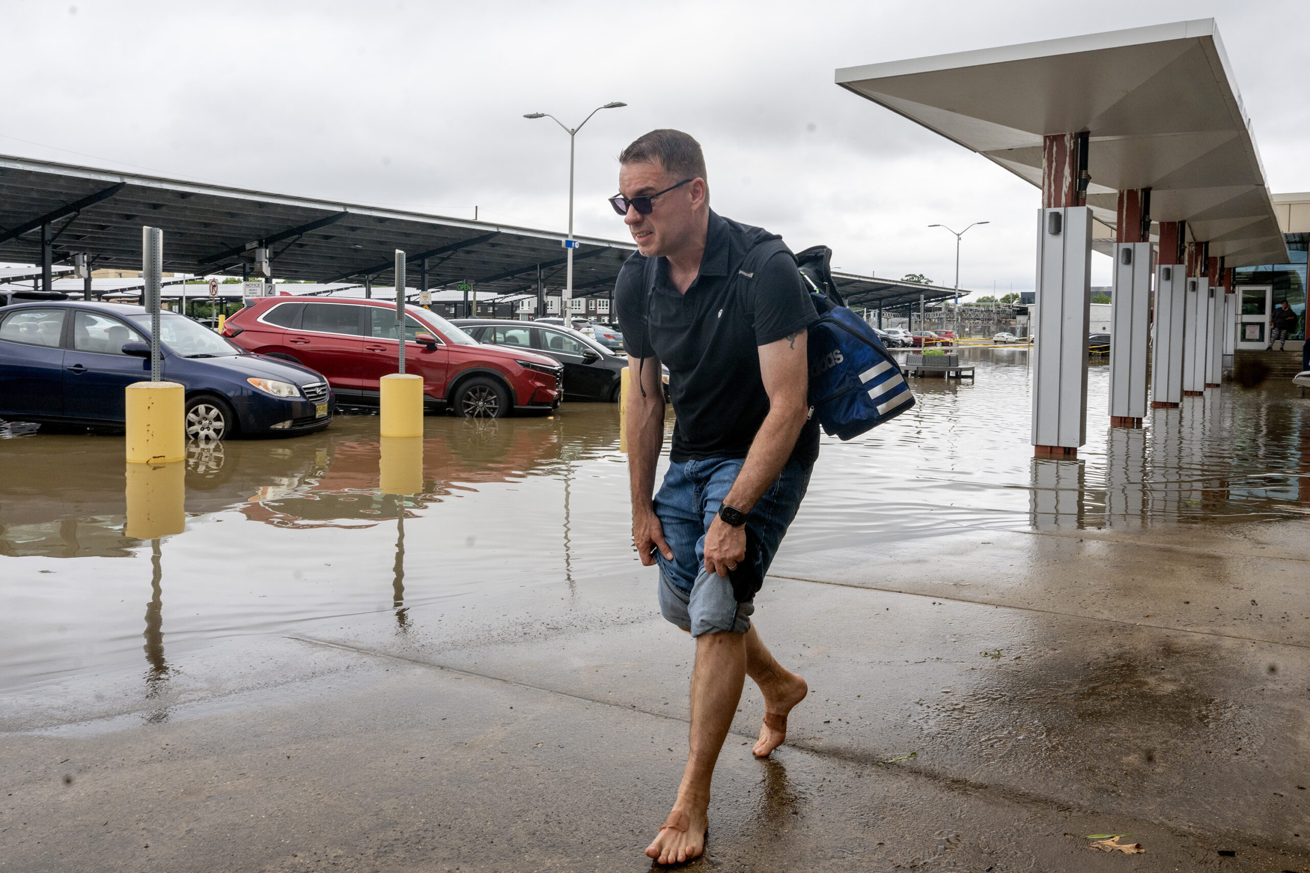
Joe Puccio of Williamstown rolls up his pants legs to make his way to his truck in the flooded parking lot at the Ferry Avenue PATCO station in Camden Monday, July 6, 2026, as a flash flood threat continues for the region. He said he commutes to work in Philadelphia every day and the flooding is something that happens a lot in the area, but he has never seen it as bad before. His truck started okay, but Route 130, his normal way home was also under water so he had to take back roads.
The extreme heat appears to be over, for now
The rains at least have marked the end of the region’s extreme heat as the “heat dome” has migrated westward. It is not uncommon for storms to break out as a hot spell deteriorates.
But that three-day stretch ending with that torrid 250th birthday party on July 4 was historic in its own right.
It marked the first time in records dating to 1873 that the temperature had reached 101 or higher three consecutive days and only the third time it had hit 100 three days straight, according to the weather service.
It may be hard to remember, but on Feb. 8 it got down to 8 degrees at the airport, proving that Philly truly is a four-season resort.
Inquirer staff writers T.J. Furman and Sarah Nicell contributed to this article.
An unscheduled and dramatic light and sound show — this one produced by nature — interrupted Philadelphia’s July Fourth extravaganza Saturday night, forcing crowds to evacuate the Parkway three hours before the man-made fireworks show was scheduled to start.
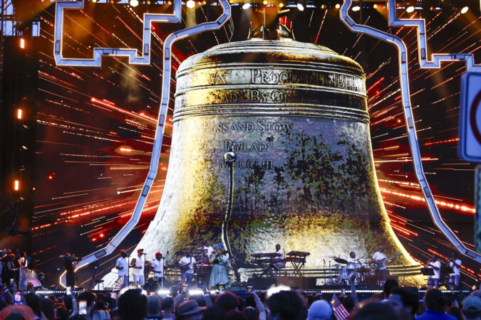
People were told to leave the area and seek shelter midway through the One Philly: Unity Concert for America. But city officials were not quite ready to call it a Semiquncentennial — a year in the planning — and two hours later the city announced the event would resume with a shortened schedule and the fireworks finale. This time, the manmade kind.
Forecasters had been warning for the last two days that potent thunderstorms were possible Saturday night, as so often happens when a heat wave begins to break down.
July Fourth marked the third consecutive day that the temperature had reached 100 in Philly, tying a record set in 1963 and 2011, and the atmosphere on Saturday, congested with water vapor, was exhibiting clear evidence that it was about to pop. A severe-storm watch covered the entire region.
Earlier, declaring a measure of independence from steaminess that made the atmosphere feel like sweat itself, hundreds of thousands in the region celebrated the day 250 years ago when rebellious colonists gathering in Philadelphia announced to the world they had formed a fragile new nation.
From a ceremonial burial to a patriotic pet parade, for a day at least, anxieties over divisiveness, a national identity crisis, historical controversies, AI, or the state of the economy and the world yielded to an air of celebration robust enough to compete with the heat.
About the only serious clouds during the day were the ominous storm forecasts, but the day belonged to the sun, albeit a hot one.
It was a day to savor the fact that the nation has been able to withstand a Civil War; two World Wars; a Great Depression; and a Cold War nuclear stare down with the Soviet Union, whose life span it has exceeded by about 180 years.
And as the festivities got underway, a ceremony on Independence Mall, where the Declaration of Independence was read on July 4, 1776, suggested the United States plans to stick around for a while. That would be the burial of the national time capsule, to be opened in 2276.
“I know that we’re here for a burial,” said Mayor Cherelle L. Parker, but “this one is about hope … about believing that the generations who come after us will build a stronger nation.”
One piece of evidence that people were ready to make a patriotic day of it was the fact that by 11 a.m., the wait to visit Independence Hall was seven hours; two hours just to enter Independence Square. Maps became impromptu fans for people waiting to see the Liberty Bell. Yet the crowds were enduring it all with a remarkable equanimity on a day when people evidently were primed to savor a remarkable occasion.
The daytime events included the Celebration of Freedom event and the must-see Betsy Ross House Patriotic Pet Parade.
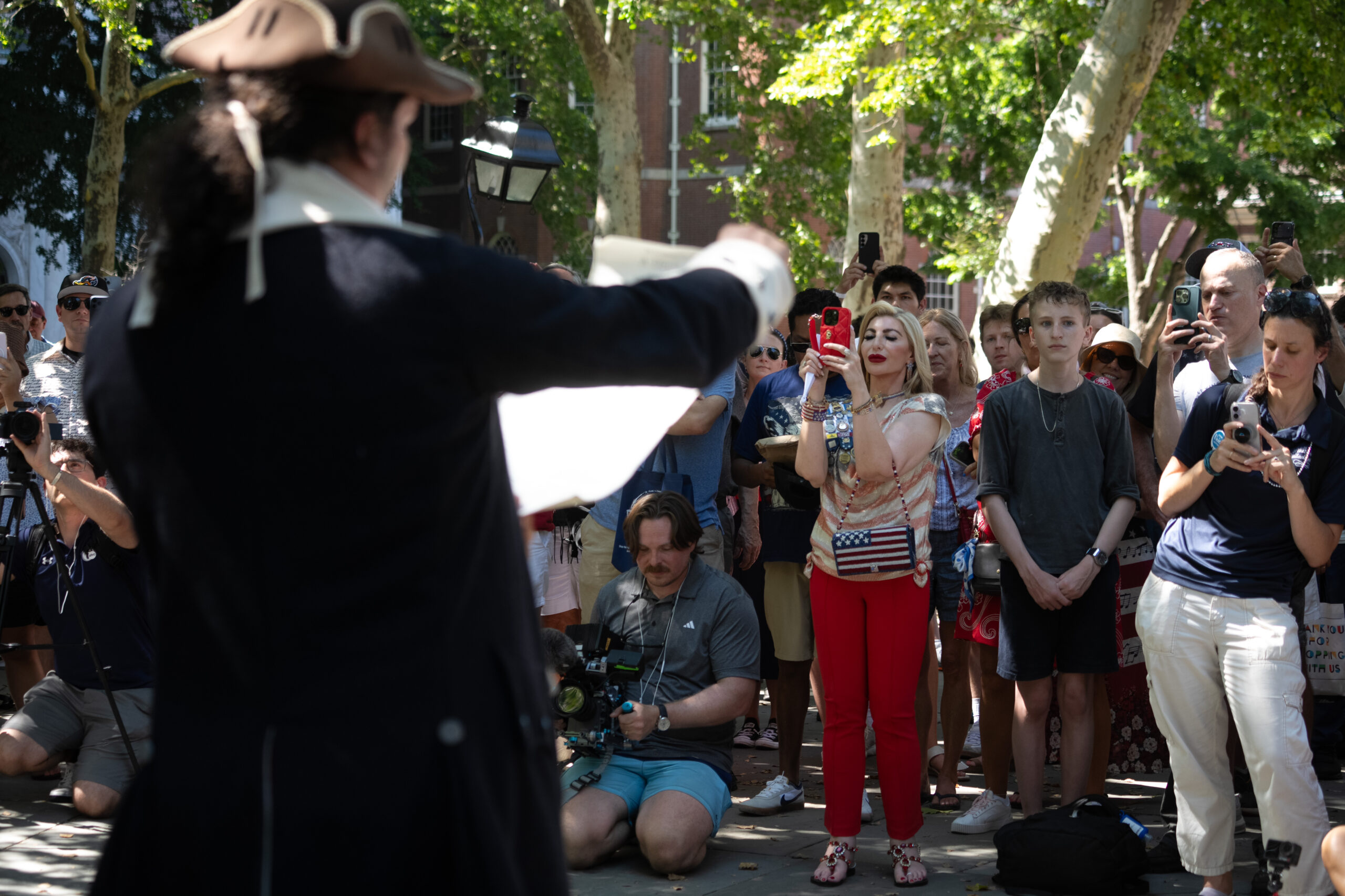
Josh Martin plays historic person Joseph Plumb, during a reading of the Declaration of Independence behind Independence Hall.
City officials were aware that the Unity Concert For America and fireworks might interrupted by a natural light show but they were determined to proceed come thunder or high water. Fireworks had been scheduled for 11:45 p.m.
They certainly weren’t factors in the time capsule event, where onlookers showed up adorned in red, white, and blue, along with Indy, a bald eagle. Tucked into the capsule were items from the three branches of government, all the territories, and all the states, including a whale bone from Maine and poems from Alabama.
“A time capsule is more than a collection of artifacts,” Parker said. “It’s a message from one generation to the next about who we were, what we valued, and what we believed was worth preserving.”
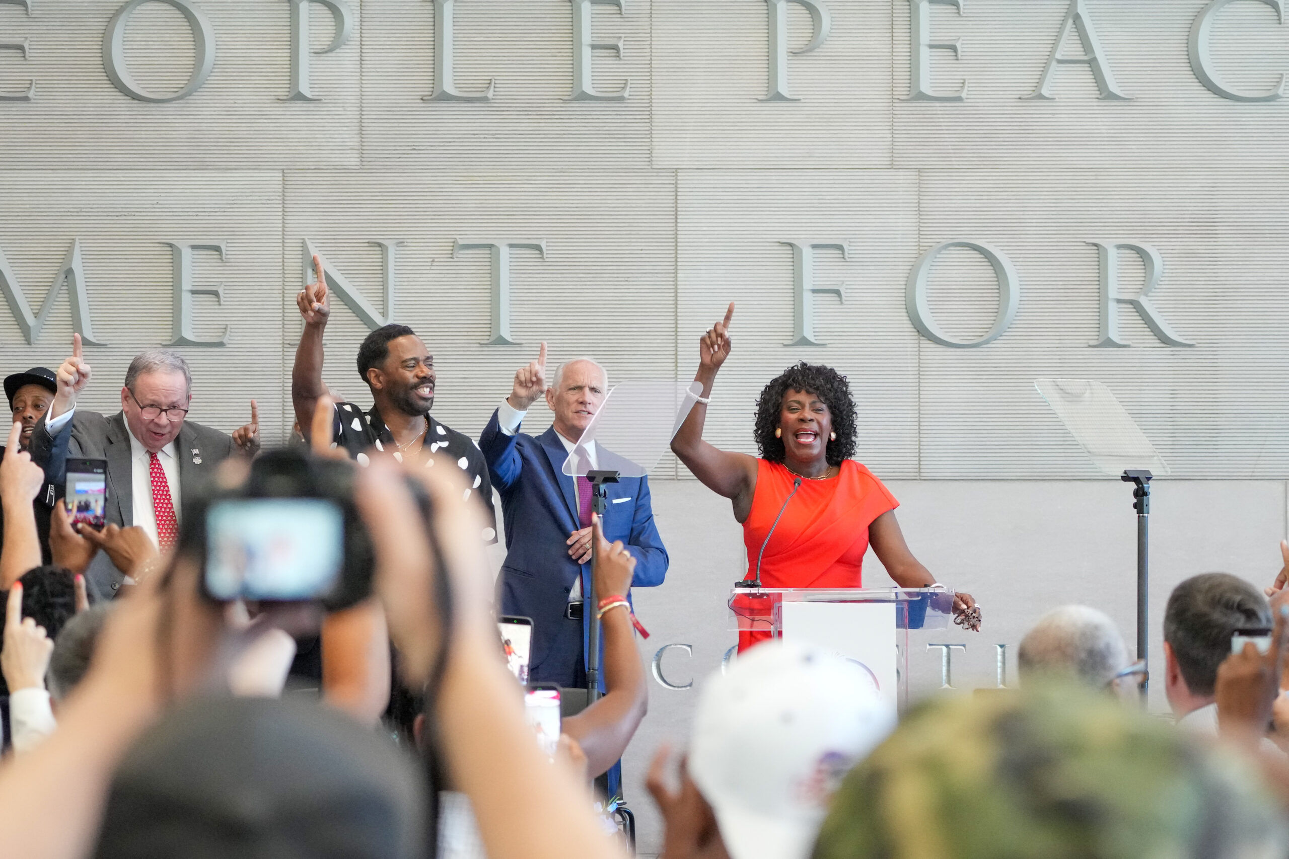
Mayor Cherelle L. Parker speaking at the Constitution Center.
What some people were on Saturday, even those enjoying themselves and not complaining, was certifiably hot.
(We will eschew saying hotter than a firecracker, but note that this publication used that phrase to describe the record July Fourth heat in 1966.)
British pop-rock vocalist Seal, who was the opening act at 5:45 p.m., did complain: “I know it’s hot, but it’s not hot enough.” Wearing a banana-yellow blazers, Seal, of Nigerian and Brazilian descent, proclaimed, “It’s only 105. I want it to be 110.”
Actually, it got only 101, and that was indeed hot enough for most folks.
Adorned in red, white, and blue, people gathered in the shade at the Independence Beer Garden across Sixth Street from Independence Mall, escaping some of the heat to sip beer with the World Cup displayed on a big screen.
Sandra Rahn, from Jacksonville, Fla., was among the escapees. She was taking a break from the sun to watch the game. Her Yorkie pup, Matilda, was cooling off alongside her, following the Patriotic Pet Show at the Betsy Ross House.
Rahn, her husband, and Matilda, arrived Wednesday to celebrate the country’s 250th, attending as many outdoor events as they could so Matilda could be part of the festivities.
“Everybody’s excited and outside; it’s been great,” Rahn said.
On Monday, they are to head home to Florida, where they hope to “cool off.”
For the record, at 3 p.m. the heat index in Philly was 103; in Jacksonville, 98.
And hidden in plain sight among those braving the serpentine line to visit Independence Hall were numerous time travelers from the Revolutionary era.
Aaron Patrick journeyed — like many Revolutionary War soldiers once had done — from Carlisle, Cumberland County, and donned a wool waistcoat and a black tricorn hat as he made his way through the line. Temperature check: about 93 degrees Fahrenheit.
“Everyone’s hot,” Patrick said. ”I’m just a little warmer than most.”
The outfits start with a linen shift for women or a linen shirt for men, said Abby Harting, a historical clothing expert. “It’s naturally cool, wicks sweat away — it’s perfect for a muggy, hot day, because the fabric does the same thing it did 250 years ago,” Harting said.
On top of the linen, the boys and men in the group wore a light wool waistcoat, while the girls and women wore a “stay,” which serves the same purpose as a bra, and another layer. Harting noted the women’s layers were designed to last for years and adapt to a person’s changing body.
She said their decision to dress up was a bit of “experiential archaeology,” and a great way to imagine what those in 1776 were experiencing — both mentally and physically — as they adopted the Declaration of Independence.
For Washington, D.C.-area couple Katelyn and Zachary Damm, their historical hobby started with the tricorn hat given to Zachary by his father-in-law. From there, they turned to Amazon to order their clothes.
The buffs prepared for their trip by reading about the era and studying the Declaration of Independence, Zachary Damm said.
“All of our freedoms date back to this day,” Katelyn Damm said. “That makes it special.”
The 18-year-old yellow Labrador retriever, sporting big blacked-out goggles and using a baby-dog stroller to move around, immediately stole the show at the Patriotic Pet Show. With his long fluffy blond hair waving in the breeze, Bruno’s confident smile told the crowd everything they needed to know: This veteran was here to bring home gold.
Not all the activities were of a festive nature. Striking Peco workers picketed outside the power company’s headquarters.
Outside the Liberty Bell, about 200 folks gathered in the yard next door at the President’s House to honor the nine people enslaved by George and Martha Washington in the 1790s. This year, attendees said the annual independence gathering, with its focus on freedom, truth, and remembrance, felt different.
“Over the last six months, since the president issued an executive order, they have tried to whitewash and bend history in a way that doesn’t tell the whole story of the country,” said Dawn Chavous, spokesperson for Avenging the Ancestors Coalition. “We are here because it’s important to not only remember, but protect and defend the history of America, which includes Black and African American history.”
Primarily, however, people went about the business of celebrating across the region.
In Doylestown, Gov. Josh Shapiro joined the Fourth of July parade, and, of course, people gathered for holiday block parties.
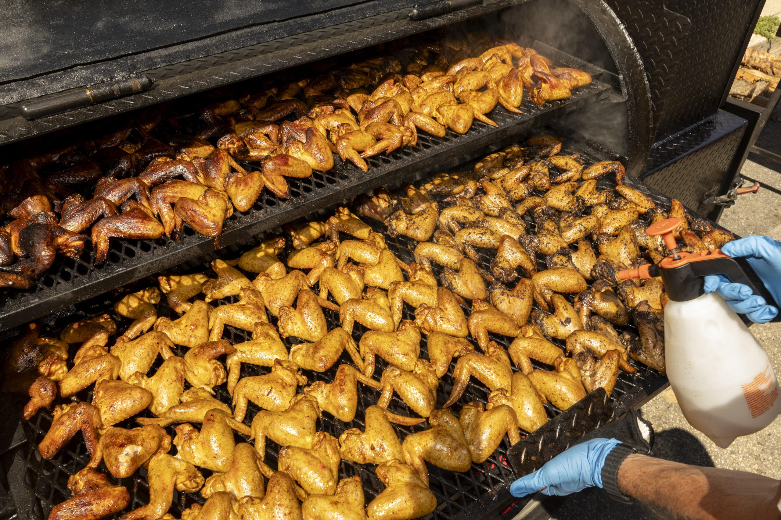
Danny Torres, who runs the barbecue business The Latin Grill, prepares Puerto Rican and Jerk seasoned chicken wings in a grill at a block party in the Ludlow section of Philly.
In Philly’s Ludlow section, Johanna Rodriguez and Michael Cunningham mixed fresh lemonade as they watched their daughter and son splash around in the swimming pool in the middle of their Jefferson Street block.
Rodriguez said the block takes Fourth of July seriously because it’s one of the only times everyone comes outside to enjoy the festivities and see each other in person.
“Obviously, having a block party with all the neighbors coming together is always the best,” Rodriguez said. ”Just hanging out and talking about the old days. It brings back the classic vibes.”
No one appeared to be complaining about the heat from the grill or the sun.
For the record, according to Thomas Jefferson, on the afternoon of July 4, 1776, at what is now Independence Mall the temperature was a pleasant 76 degrees.
Staff writers Maggie Prosser, Isabel Maney, and Michelle Myers contributed to this article.
Philadelphia almost certainly will have set more temperature records over the next two days — but maybe not during the steam-bath afternoons.
Nature’s natural cooling system, nightfall, is having a hard time getting it done with the atmosphere so swollen with water vapor. It didn’t get lower than 82 Friday morning and an encore is expected the morning of the Fourth.
Both would be record-high minimum temperatures for the dates in Philadelphia. That record bar is considerably lower than for the high-temperature records — 104 degreesfor Friday, and 103 forSaturday — set during the sizzling 1966 Independence week. A late-day thunderstorm could knock back Saturday’s temperatures, and storms Saturday night are “likely.”
Thursday’s high, 103, tied the record set in 1901, when the nation was a mere 125 years old.
Those potential century-plus readings are attention-getting, but health officials have long held that for heat-related mortality, consistently warm nights are more dangerous than the days, particularly for older people who live alone in brick rowhouses in the city. As a former Philadelphia health official has observed, without nighttime cooling, they can become “brick ovens.”
“The intensity and length of the extreme heat will exacerbate impacts to both people and infrastructure,” the weather service warned.
The sequence of hot nights “are particularly harmful because the body doesn’t have a chance to recover,” said Kraftin Schreyer, associate professor of emergency medicine at Temple University’s Lewis Katz School of Medicine. Extreme heat can exacerbate circulatory and lung conditions, and certain mental disorders, she added.
But she and other health experts say the detrimental effects may be modified by the heat the region already has experienced this year.
The Philly forecast for the 250 climax
Friday’s high is expected to challenge the reigning champ, the 104 set during a blistering heat wave in 1966, when the nation was a mere 190 years old.
On Saturday, when Philly celebrates the nation’s 250th birthday, the high may fall just short of 100, said Matt Benz, senior meteorologist with AccuWeather, as the high pressure “heat dome” covering much of the nation loses some of its protective power over Philly.
That also could be a window for “ring of fire” thunderstorms that could be nasty. The federal Storm Prediction Center sees a 15% chance that any storms on Saturday could become “severe,” with wind gusts up to 60 mph. The National Weather sees a 60% chance of storms Saturday night.
By Sunday, highs will be backing off to the 90s, however the sequence of warm nights probably will persist, at least in areas of Philadelphia most affected by the urban heat island effect.
The urban heat island and heat-health dangers
The world has been getting warmer, but cities long ago got the jump on climate change, and their impacts on temperature were observed in the 19th century and documented in a famous experiment in the 1950s by legendary climatologist Helmut Landsberg.
Landsberg, who observed temperatures had fallen in some European cities after World War II bombings destroyed buildings, set up instrument arrays in an area of Maryland that was undergoing rapid development. As surfaces were paved and structures erected, he recorded significant localized temperature increases.
In Philly, dense neighborhoods can be several degrees warmer than other areas even within the city. Urban areas reduce cooling at night because they are efficient at storing the sun’s energy and slower to release heat after sunset.
The heat-death tolls in Paris in 2003, Chicago in 1995, and Philadelphia in 1993 underscored the urban heat hazards.
It’s warmer, but heat deaths have dropped dramatically in Philly
“We’ve been really lucky,” said Samuel Eldrich, medical director of the Temple Health-Chestnut Hill Hospital Emergency Department
The decline has a lot do with Philadelphia and that summer of 1993, Eldrich added.
That year, Philadelphia was under fire because it was the only major Eastern city reporting significant numbers of heat deaths. The medical examiner’s office was using forensic evidence, such as closed windows, in determining heat deaths.
The reasoning: With so many people dying, doctors wouldn’t be able to get to the bodies in time to verify core body temperatures of 105 degrees, the standard for hyperthermia. The Centers for Disease Control later decreed Philadelphia’s method was correct, and it was adopted elsewhere.
The dramatically high death toll was the impetus for the city’s emergency response plan, lauded by CDC and the National Oceanic and Atmospheric Administration that lauded as a national prototype.
It includes opening cooling centers and nudging residents to look in on older neighbors, and having the Philadelphia Corporation for the Aging operate a “heat line,” 215-765-9040. It will be operating daily from 8:30 a.m. to 8:30 p.m., and the agency “can also assist callers reporting concerns about vulnerable neighbors, family members, or community members,” said spokesperson Bill Conallen.
Citing Census figures, the Corporation for Aging says about 95,000 people 65 and older live alone in the city.
‘This is temporary’
Subject to change, the heat wave is due to end Monday, with highs in the lower 80s (remember when that seemed hot?).
In the meantime the experts are offering coping tips, the three most-important being hydrate, hydrate, hydrate.
How much water should you drink? More than you think, said Schreyer. Men should drink about a gallon a day, women three quarts, but four to eight cups additional wouldn’t hurt. Sip, don’t guzzle, she said.
At a time when everyone wants to be outside, it’s critical to take breaks in air-conditioned stores, malls, or wherever, even for a few minutes, Eldrich said. “It gives your body a chance to recover,” he said.
Sunny G. Hallowell, associate professor of nursing at Villanova University, recommends cool showers and tepid baths. Also, especially with storms threatened, be prepared for power outages. She suggested storing damp towels in the refrigerator or freezer as a quick cool-down resource should the A/C go off.
She also recommends keeping a cool attitude. “This is temporary,” she said, and if the temperature hits a record, that’s “something to brag about.”
And if you’ve had it with the heat, think back to your misery during the Arctic freezes, and think that with the heat, “You got your wish.”
In the grand casino of the atmosphere, scheduling outdoor events on July Fourth in the Philly region is almost always going to be a rolling of the bones.
And on the day Philadelphia and the rest of the nation are holding a mass 250th birthday party, the odds may be dicier than usual, with thunderstorms and accompanying lightning possible Saturday afternoon and night, forecasters say.
The National Weather Service on Thursday listed a 50-50 chance of storms Saturday night, and the federal Storm Prediction Center, in Norman, Okla., bumped up the probability of severe storms — those with winds up to 60 mph — to 15%.
July happens to be the peak month for lightning-bearing thunderstorms in Philadelphia, occurring every five days on average, and who doesn’t want to be outside on the Fourth?
As if record-challenging heat and an atmosphere that feels like syrup weren’t enough.
Lightning injuries and fatalities are rare — on average in the last decade, 20 people have been killed annually by lightning in the United States, according to the National Weather Service. But among outdoor events with large crowds across the country, Philly’s July Fourth concert would be among the riskiest for lightning, according to Stephen Strader, disaster specialist at Villanova University.
“It’s way up there, a lot higher than I thought it was,” he said.
The city is well aware of the atmosphere’s capriciousness, the potential risks in July, and the potential effects on the Parkway celebration and the World Cup match in South Philly and has developed safety protocols, said Jeffery Kolakowski, communications director for the Office of Emergency Management.
Unfortunately, for attendees and planners, predicting the when and where for thunderstorms remains elusive.
“There’s uncertainty of the when and where of the storms,” said Rich Thompson, branch chief and lead forecaster at the federal Storm Prediction Center, in Norman, Okla., the source of those severe storm and tornado watches. “It’s still one of the great frontiers of meteorology. It’s incredibly difficult.”
‘Ring of Fire’ fireworks and the weekend forecasts
Readings soared to 97 on Wednesday, and the heat index shot past 105 in Philly as the atmosphere thickened in a hurry.
And it’s about to get thicker. The heat is forecast to peak Thursday and Friday with highs surpassing 100. It could cool down all the way to 99 on Saturday, said Matt Benz, senior meteorologist with AccuWeather Inc. Unfortunately that would indicate increasing volatility in the atmosphere.
High pressure though the atmosphere, the so-called heat dome phenomenon, has put a lid on convective storms, “but that starts to come off Friday into Saturday,” he said. That could lead to “ring of fire” thunderstorms, so named because they form on heat-dome edges. They can be especially nasty.
“We’re worried that something is going to be blowing up,” he said.
The storms could come in one bunch in the early evening and yield to a peaceful night, but they also could come in waves over a period of hours.
Even without strong storms — or storms not in the immediate vicinity of the festivities — lightning strikes are possible.
“Unfortunately that could be the biggest concern that day you’ve got lighting and people outdoors,” said Benz.
The lightning threat
The chances of being struck by lightning are remote, about one in a million in a given year, according to the weather service.
But they do happen: They’re what Strader calls “low probability events” with “high consequences.” In 2019, several people were injured when lightning struck at a PGA tournament in Georgia.
In 2014, a severe thunderstorm forced thousands of concertgoers at Philadelphia’s Made in America Music Festival to evacuate the Parkway for a short time that Sunday evening.
But for the most part, Fourth of July fireworks have been confined to the manmade kind.
In his analysis, Strader looked at thousands of outdoor events attended by 10,000 or more people, what he called “large outdoor public gatherings,” to calculate which ones would expose the most people to cloud-to-ground lightning strikes, taking into account location and time of year.
He found that both the Parkway and World Cup events in Philly this year would rank among the top 6%, using his criteria. The Parkway would be particularly problematic given the lack of shelter options.
All during the events the City’s Emergency Operations Center will be operating with a “play by play” from a National Weather Service forecaster, said Kolakowski.
In the event of lightning he said, “an evacuation of the area could be issued and people would be asked to leave the event ground in a safe manner and seek shelter.”
He said weather messages would be broadcast on screens, loudspeakers, social media, and text alert.
He added that people can get free event or safety alerts by texting CUPPHL or AMERICA to 888-777.
Philadelphia’s final World Cup game on July 4 will feature plenty of red, white, and blue both inside and outside the stadium when tournament favorite France returns to the city for a round-of-16 knockout round against Paraguay on Saturday (5 p.m., Fox29).
But the fans will be enduring another day of a brutal heat wave when temperatures are forecast to top out near 100, with steamy, shirt-soaking humidity.
In addition, potentially strong storms are possible around game time.
With another anticipated sold-out crowd packing Philadelphia Stadium, FIFA says it is proactively taking steps to help fans beat the heat, planning to place cooling tents with water available to fans “within the stadium footprint at the Stadium Fan Experience,” located just inside the main gates.
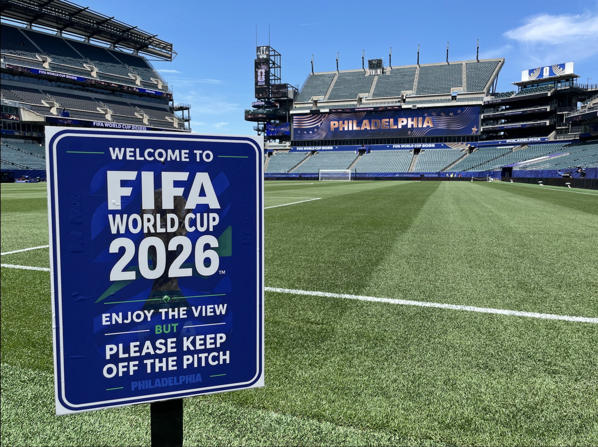
Lincoln Financial Field, known as “Philadelphia Stadium,” is set to host its final game in this World Cup, a Round of 16 game between France and Paraguay on Saturday.
Additionally, FIFA reminds all fans that they may bring one 20-ounce soft-plastic water bottle into the stadium upon arrival. For those who recall, the resized bottle came only after FIFA last month reduced the size from 1 liter to 20 ounces, following an initial pullback from allowing fans to bring in water altogether. After much pushback, soccer’s governing body relented and allowed the reduced size of an unopened bottle upon arrival as the guideline for all 16 venues.
“FIFA is committed to protecting the health and safety of all players, referees, fans, volunteers and staff through a tiered heat mitigation model,” a FIFA spokesperson told The Inquirer via statement. “Through close collaboration with the City of Philadelphia, medical experts and emergency authorities, FIFA remains committed to delivering a safe, resilient and memorable tournament experience for everyone involved.”
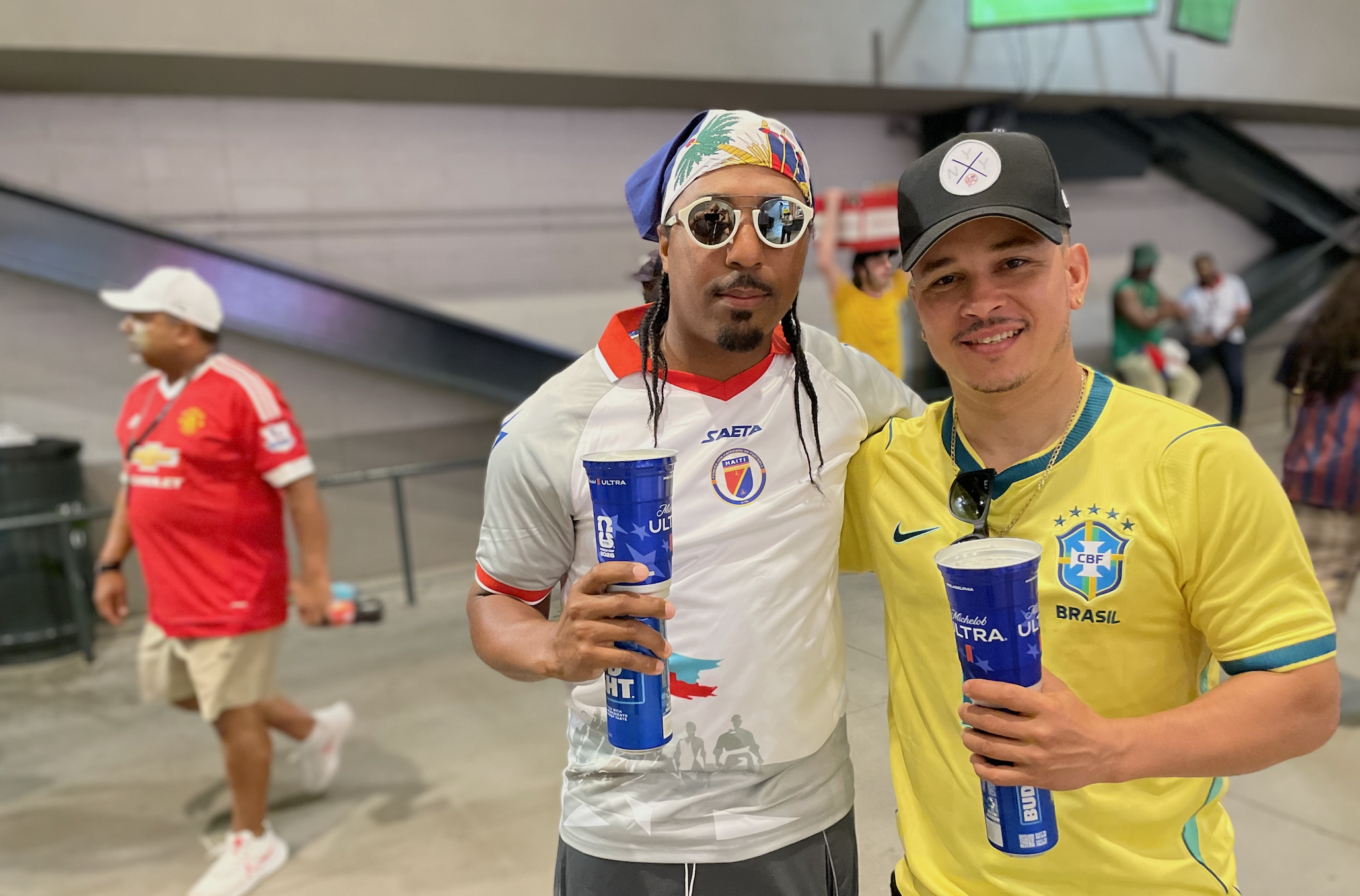
Fans attending matches have found ways to beat the heat through metallic cups, keeping drinks colder for longer, offered at the stadium with the purchase of a beverage.
Where to find water inside Philadelphia Stadium
If you’re looking to refill your water bottle once inside or just don’t want to wait in long lines at concessions for one, here’s a listing of where all of the water fountains are located in the concourses of each level.
100 Level: Sections 103, 118, and 122
200 Level: Sections 204 and 222
Club Level: Sections C3, C19, C24, and C38
Four of the five matches in Philadelphia have been announced sellouts with Saturday’s final Philly game expected to be the same amid high temperatures.
What time can fans enter the stadium?
Fans can enter the stadium and seek shade in the concourses as early as 2 p.m. when gates will officially open, according to a FIFA spokesperson. Teams will emerge for warm-ups one hour before kickoff, and the pregame ceremony will begin 30 minutes before kickoff. For fans looking to head down early via SEPTA’s Broad Street Line, there will be select express trains to the stadium, with SEPTA planning to run additional trains on game day. Fare will be $2.90 as customary, with the return ride after the game free for all fans for up to two hours after the match.
FIFA’s Fan Festival, organized by Philadelphia Soccer 2026, will be just one part of a host of activities planned on July 4 along the Parkway, including the scheduling of a massive concert currently under a bit of controversy.
However, passing all of that, the last stop on Philly’s PHLASH bus that goes along the Parkway will stop at the Fan Festival, which is scheduled to open its gates at noon on Saturday, showing the first round of 16 match of the day between Canada and Morocco (1 p.m., Fox29).
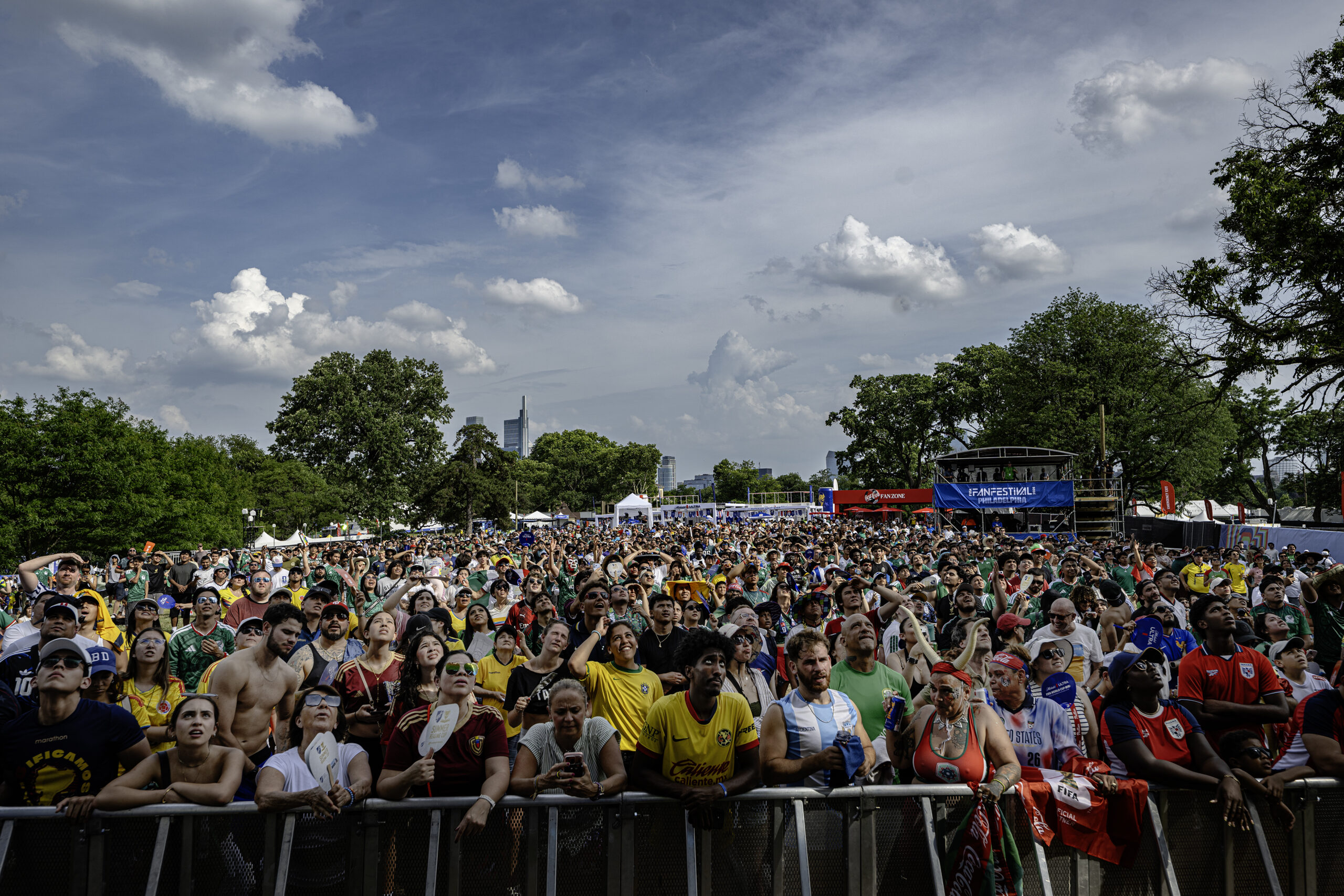
Event officials say soccer fans gathering to watch Philly’s final game at the FIFA Fan Festival at Lemon Hill will have several ways to beat the heat.
Nothing is expected to change from what fans can bring onto the festival grounds from the items clearly marked on a longstanding list that was promoted during the Fan Festival’s Know Before You Go campaign released in early June.
Bottles are allowed on Fan Festival grounds and don’t have to be of the disposable variety, as canisters up to 32 ounces are allowed — but they must be plastic. Additionally, FIFA Fan Festival allows fans to bring their own personal misting fans as well, but the water container can’t exceed 1.5 liters, and handheld fans cannot be battery-operated.
Melissa Ferdinand, spokesperson for Philadelphia Soccer 2026, told The Inquirer that times are already being adjusted for Thursday and Friday to mitigate fans entering at the hottest part of the day, with temperatures expected to reach triple digits. On Saturday specifically, Ferdinand reiterated what’s on-site and what fans can bring to stay cool and enjoy the match.
“FIFA Fan Festival Philadelphia has a variety of ways to help attendees beat the heat and enjoy the event safely,” Ferdinand said. “Cooling tents, misting tents, free water refill stations, shaded areas and multiple medical stations are available for anyone feeling the effects of the heat. Additionally, attendees are encouraged to bring a refillable water container with them.”
The National Weather Service on Tuesday issued an “extreme heat” warning for the entire region through July Fourth, with a record-tying three consecutive days of 100-degree temperatures possible in Philadelphia.
Though heat warnings may lack the sizzle of warnings for blizzards or hurricanes, health officials advise that they can be more dangerous — slow-motion disasters that target the most-vulnerable populations. Plus, the timing of this one couldn’t be much worse.
Along with the daytime heat indexes approaching 110, the nights aren’t going to be much cooler. Temperatures Friday morning may not get below 80 degrees in the city, said Sarah Johnson, the warning coordination meteorologist with the National Weather Service in Mount Holly, which has been briefing emergency managers since late last week.
“It’s very concerning,” she said.
The city on Tuesday declared a “heat health emergency” in effect from 1 p.m. Wednesday through 8 p.m. Saturday, activating its pioneering heat-response system.
In deference to the heat, Wawa Welcome America announced several schedule changes, including canceling Thursday’s All-American Block Party, and moving back start times for concerts Thursday and Friday.
It also said the Liberty Medal ceremony on Friday honoring Pope Leo XIV would be moved to inside the Constitution Center and the route of the Semiquincentennial Parade, which begins at Fifth and Chestnut Streets, would end at Broad and Chestnut, rather than proceeding to Logan Circle as originally planned.
PJM Interconnection, the region’s electric grid operator and one of the nation’s largest, already has sounded alarm bells regarding power demands. Peco advised that it has a contingency plan in case workers go on strike Saturday, as they have threatened.
SEPTA is making preparations for what would have been a challenging week even if the weather was cool (as it was in 1776, by the way). At Philadelphia International Airport, a bigger concern would be pop-up thunderstorms that could disrupt the weekend celebrations that have been 250 years in the making.
The heat wave will have staying power in Philly
Only twice has Philly had three consecutive days of triple-digit temperatures — in 1993, and on July 2, 3, and 4 of 1966. That could happen again on July 2, 3, and 4 of 2026, the weather service says.
Officially it reached 90 degrees Tuesday at the airport, the 16th time this year that the high reached at least 90 degrees, the second-most number of days before Jul 1 in records dating to 1874. Wednesday’s forecast high, in the mid to upper 90s, would be the prelude to the holiday heat festival.
Along with the heat, of concern for event planners is the potential for strong thunderstorms on Saturday afternoon and evening during the climax of the Semiquincentennial events.
Preparing for the heat and storm threats in the region
At Philadelphia International Airport, it’s not the heat so much as the attendant storm threat that is the major concern, said spokesperson Heather Redfern.
The national extent of the extreme heat — the result of a so-called heat dome of high pressure — and the pop-up storm threat could “impact flights with delays, diversions to other airports and cancellations,” she said.
The airport was expecting more than 680,000 departing and arriving passengers from Wednesday through next Tuesday. Redfern advised travelers to sign up for airline flight alerts.
In its forecast discussion Tuesday, the weather service cautioned “that any holiday weekend festivities could be impacted by thunderstorms,” adding that “the environmental setup would be favorable for strong to severe” storms.
SEPTA was expecting a crush of passengers, especially Saturday when in addition to the 250th bash, a World Cup soccer match will be played in South Philly. The agency may set up misters outside stations where long lines may develop, spokesperson Andrew Busch said. The agency would try to make some cooling buses available if the city requests, he said.
A Saturday complication for Peco is a threatened strike by 1,500 union members. The company said it has a “contingency plan” in place to keep customers’ air-conditioning systems operating and would be able to respond to any severe storm issues.
With or without storms, in deference to the heat SEPTA will be reducing speeds on all rail lines, said Busch, as extreme heat can cause overhead lines to sag and tracks to buckle.
Heat-wave response is a Philly thing
It’s not in a league with the Rocky statue or cheesesteaks, but heat response is a very Philly thing that got its start in the 1990s when the city won high praise from the Centers for Disease Control and the National Oceanic and Atmospheric Administration.
The impetus was the summer of 1993 when Philadelphia recorded 118 heat-related deaths — about triple the combined total of 2015-16. That summer was also the last time the city had three consecutive days of 100-plus degree temperatures.
The relatively inexpensive program includes setting up more than 50 cooling centers; health officials hold that even a short break from extreme heat can save lives. Residents are encouraged to look in on elderly neighbors, and the Philadelphia Corporation for Aging will be operating a heat hotline, 215-765-9040.
Variants of Philly’s response system have spread to other cities around the country.
In Philadelphia, even though summer temperatures have been rising, heat-related deaths have declined dramatically.
May that trend continue.
Staff writer Ariana Perez-Castells contributed to this article.
Coinciding with the climax of the nation’s 250th birthday celebration, the atmosphere may make a run at history this week as July gets off to a torrid start in much of the nation, with temperatures in Philly aiming toward 100 degrees both Thursday and Friday.
And while the record-challenging extreme heat may ease some late in the weekend, atmospheric fireworks may threaten Fourth of July events.
Conditions also favor tropically steamy nights when it may seem that even the fireflies are adding to the heat.
The National Weather Service has issued an “excessive heat watch,“ in effect from Wednesday afternoon through the day Saturday, for heat indexes up to 110. The watch covers all of New Jersey, Delaware, and most of Pennsylvania.
The Delaware Valley Regional Planning Council has posted a “code orange” air-quality alert for Tuesday, advising that pollution could affect people with respiratory and heart condtions.
If the heat wave persists as forecast, the cumulative warmth could become dangerous for people with background medical conditions and older residents who live alone without air-conditioning in the city’s rowhouses.
The official high in Philly reached 90 on Monday, and the forecasts are calling for highs in the 90s at least through the weekend.
Both FIFA Fan Festival organizers and SEPTA are preparing for a pending inferno.
The World Cup afternoon matches on Wednesday and Thursday won’t be shown at the FIFA Fan Festival, said Melissa Ferdinand, spokesperson for Philadelphia Soccer 2026, but the evening matches will be.
Among other measures SEPTA will be reducing speeds on regional rails, lest extreme heat cause overhead wires to sag and tracks to buckle, said agency spokesperson Andrew Busch.
The forecasts for the rest of the week
Philly’s temperatures are likely to reach the low 90s on Tuesday, said John Feerick senior meteorologist with AccuWeather Inc., but that will be just a warm-up.
Readings will soar well into the mid- and upper-90s on Wednesday, and likely crest at or above the century mark Thursday and Friday.
Some showers are possible Friday afternoon and evening and Saturday, the weather service says
The so-called high-pressure heat dome is forecast to bake about two-thirds of the nation. Philadelphia will be near the eastern edge of the hot zone, and that can become a precarious place to be when the heat backs off.
The outlook for the weekend and the ‘ring of fire’ potential
“Ring of fire” thunderstorms, which can generate prodigious amounts of rain, can form along the edges of heat-generating high-pressure systems, the weather service says. This far in advance — or even a day or even hours ahead of time — it isn’t possible to predict where and when such a storm or storms might develop.
But in its forecast discussion Monday the weather service office in Mount Holly warned that “the environmental setup would be favorable for strong to severe thunderstorms.”
“We’re seeing chances of thunderstorms,” said Paul Fitzsimmons, meteorologist with the weather service office in Mount Holly.
Said Feerick, “I think there’s going to be some pretty intense storms. A lot of times, the heat waves come to an end with a bang. That’s a possibility next weekend for sure. The fireworks might be supplied by mother nature, and humans.”
On Monday morning the weather service advised, “It is important to point out that any holiday weekend festivities could be impacted by thunderstorms — in addition to the extreme heat.”
But, Fitzsimmons said, “By Sunday, might be getting a little bit cooler.”
Warmer world, warmer Philly, although 100s have been less frequent
Philadelphia’s temperature increases have tracked fairly close to the globe’s, which during the last 12 months were about 2 degrees Fahrenheit above the 20th century average. Local summers have become increasingly warmer.
Yet 100-degree readings in Philadelphia have been relatively scarce this century. On average, temperatures of 100 or higher have occurred every four years in Philly, but when it reached 100 last summer, that was the first time in 13 years, the longest 100-less stretch on record.
That could be mere randomness, or it could be related to increased mugginess, which can retard both daytime heating and nighttime cooling. Warmer air can hold more water vapor.
In records dating to 1874, it has reached 100 a total of 62 times, according to an analysis of temperature data, in 40 different years. For whatever reasons, they have tended to come in clusters, including a five-year run of 100-degree readings that ended in 1955, and three years, ending in 2012.
Said Busch, “I guess we could look forward to it next year.”
The region may be getting some significant drought relief during the weekend, and then it may be some time before it gets relief from heat that could persist through July Fourth.
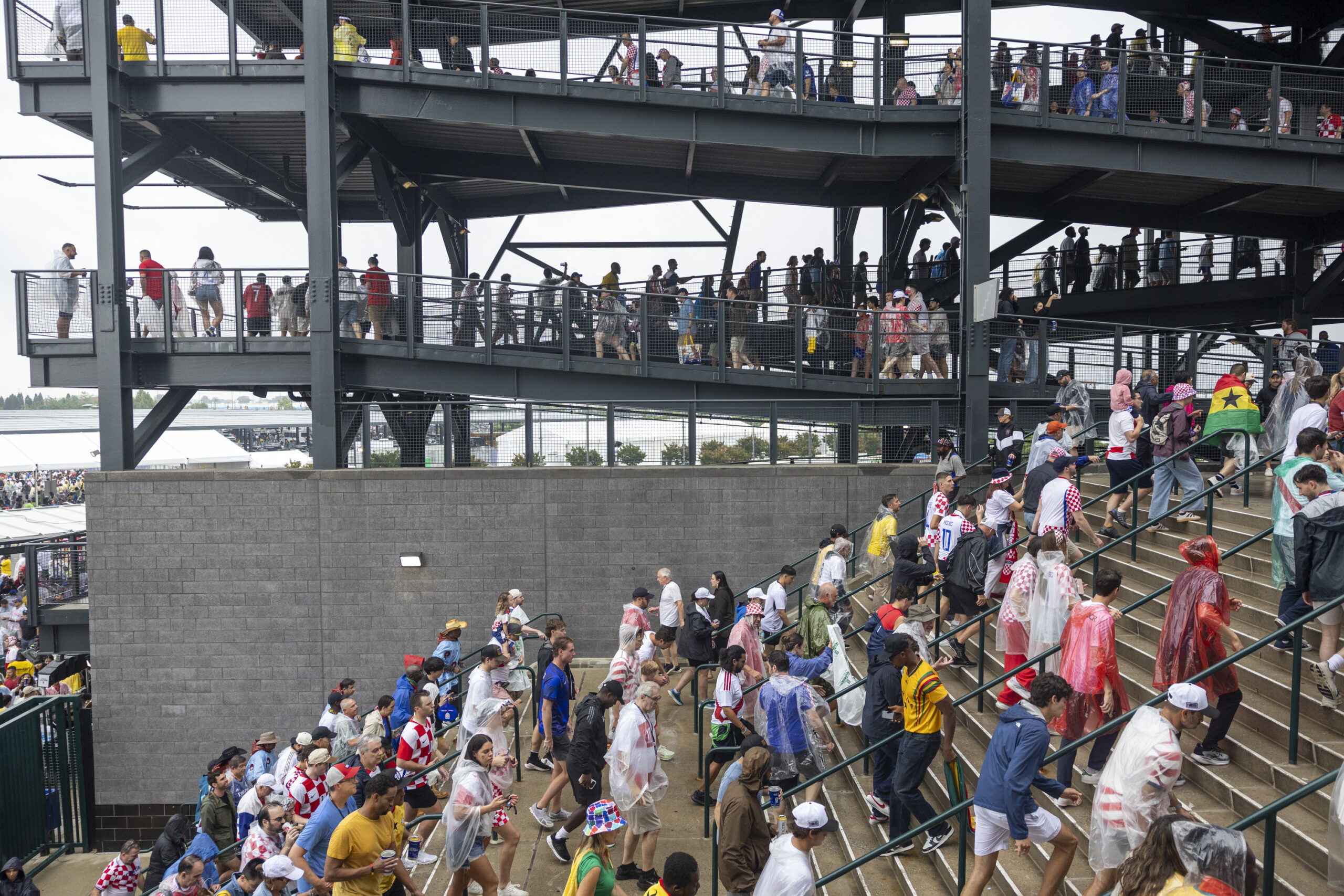
Rounds of showers — possible Friday night into Saturday evening when Croatia and Ghana meet in a World Cup match in South Philly — should be more widespread across the region than Monday’s scattershot downpours, said Brian Hurley, senior branch forecaster with the Weather Prediction Center, in College Park, Md.
The severe storms likely would stay well to the south of Washington, D.C. However, “you always have potential” for a few thunderstorms, he said.
Then, after two decent days Sunday and Monday, what is looking like the longest-lasting hot spell of the season to date is due to get underway Tuesday as temperatures head to the mid-90s.
“That’s going to be main story,” said Hurley.
The wild card for the duration would be the possibility of “ring of fire” thunderstorms, forecasters said, which might have temporary cooling effects. Those are storms that form along the boundaries of high-pressure heat domes, and Philly may be near the eastern edge.
How hot might it get next week in Philly?
Expect some tweaking during the next few days, but with “increasing confidence” the National Weather Service in Mount Holly was seeing heat indexes in the triple figures next week.
Come Tuesday, daytime temperatures should be “off to the races,” said Bill Deger, senior meteorologist with AccuWeather Inc., which has forecast highs up to 98 degrees late in the workweek.
It also will be steamy, and that will inhibit nighttime cooling as water vapor slows the escape of daytime warning. Readings are unlikely to get lower than the 70s Wednesday through at least next Saturday.
The heat could lap into the following week, said Deger. “It shows some staying power,” he said.
The region already has had 14 days with official temperatures of 90 or higher in 2026, about half the average total for an entire year.
The potential for those ring-of-fire storms would be a wild card, said Hurley and Deger.
Cooling thunderstorms can break heat waves, although they may come with a price. Ring-of-fire storms in July 2020 wrung out as much as 6 inches of rain that set off widespread flooding.
As drought continues, the Philly region could use more rain
Six inches might be a bit over the top, but the region could use more rain to ease the ongoing drought conditions.
Some areas received close to 2 inches on Monday and Tuesday; however, the jackpot zones eluded areas where the dry conditions have been most intense — parts of South Jersey and Chester County.
The entire region remained in some state of drought according to the interagency U.S. Drought Monitor, but Chester County was in “severe drought,” along with small pieces of Bucks and Delaware Counties. In “extreme drought” were all of Cape May County, other Jersey Shore towns, and areas bordering Delaware Bay.
In an analysis based on a network of measuring stations throughout the counties, the weather service’s Middle Atlantic River Forecast Center calculated that Cape May County received less than a half inch of rain, and Cumberland and Salem Counties about 0.6 inches.
In contrast, Burlington, Camden, and Gloucester Counties weighed in with well over an inch.
On the other side of the river, Philly’s total was 1.28 inches, compared with 0.71 for Chesco, which, like New Jersey, is under a state-declared drought emergency.