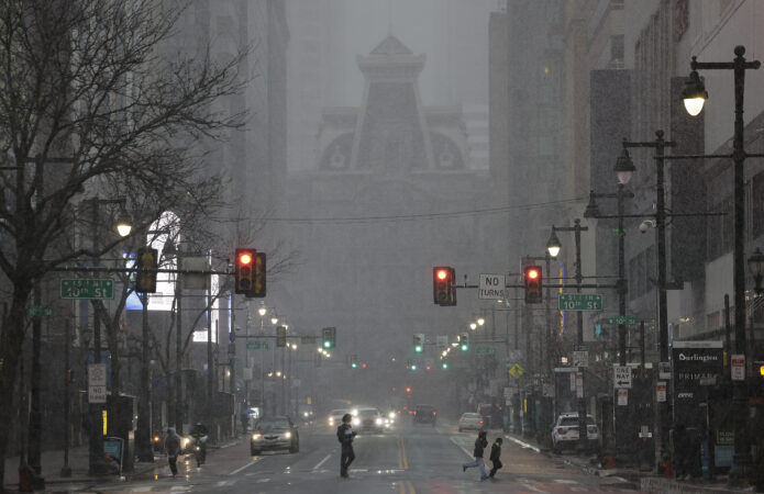
- What you should know
- A rare blizzard warning remains in effect as a massive winter storm is expected to drop more than a foot of snow in and around Philadelphia through Monday.
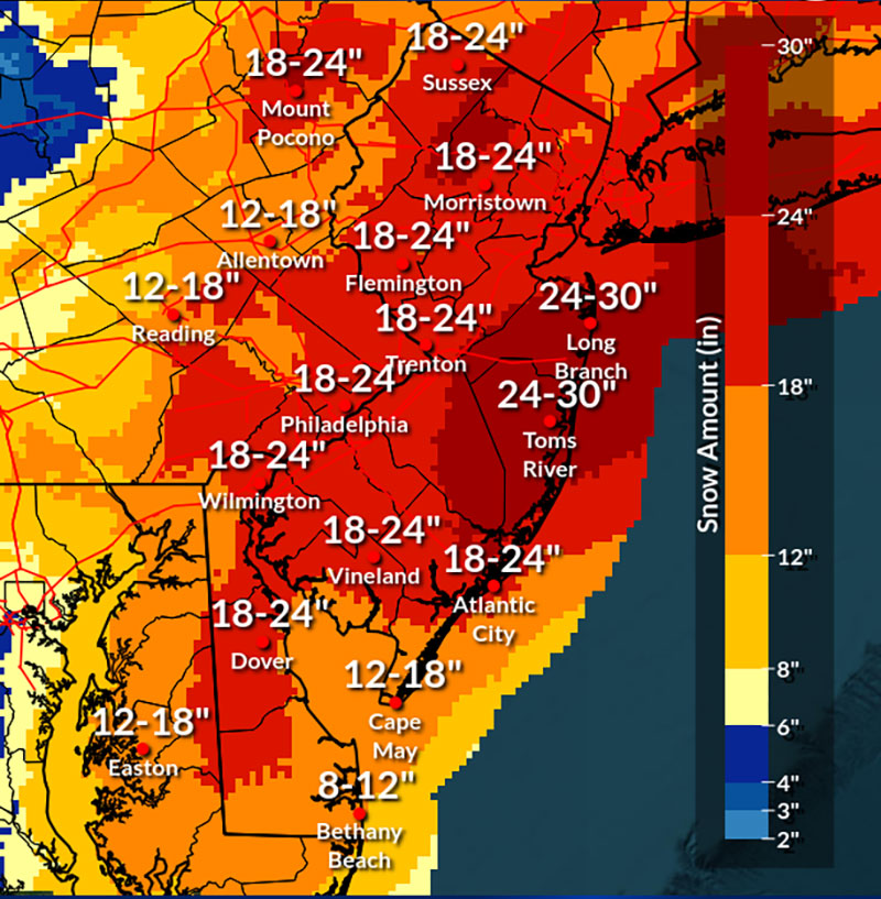
- Snow began falling in Philly early Sunday evening and is expected to continue through Monday afternoon, with the heaviest snowfall overnight into the morning. Here’s the latest map.
- A citywide snow emergency is in effect in Philadelphia, while both New Jersey and Delaware have declared a state of emergency.
- City schools will go virtual Monday, while trash and recycling collection in Philadelphia will be suspended until Wednesday.
// Timestamp 02/22/26 9:38pm
Tractor trailer accident on Atlantic City Expressway
Heavy bands of snowfall and strong wind gusts are creating blizzard-like conditions across the region, making it dangerous and difficult for drivers.
NBC10 reporter Ted Greenberg came across a tractor trailer involved in an accident just east of exit two on the Atlantic City Expressway.
It wasn’t immediately clear if there were any injuries.
New Jersey put in place restrictions on commercial vehicles that extends until 7 a.m. Monday morning.
// Timestamp 02/22/26 9:15pm
DoorDash suspends service in Philadelphia
DoorDash, the food delivery service, has suspended operations in Philadelphia and New Jersey amid the snow storm.
According to a company press release, DoorDash deliveries have ended as of 9 p.m. on Sunday and will not begin again until at least 12 p.m. Monday, depending on conditions at that time.
“We’re suspending operations across impacted areas to keep our community safe,” said company spokesperson, Julian Crowley, in a press release. “This is a serious storm — we’ll resume when it passes.”
// Timestamp 02/22/26 9:13pm
Amtrak suspends Keystone Service
Amtrak announced it is suspending its Keystone Service, which operates between Harrisburg and Philadelphia, until at least noon Monday.
At least 12 trains have been canceled as of Sunday night.
Amtrak said Pennsylvanian trains, which travel between New York City and Pittsburgh, are expected to operate on a normal schedule Monday.
So far, Amtrak hasn’t canceled or postponed any trains along the Northeast Corridor.
// Timestamp 02/22/26 8:53pm
At least 15,000 without power across Southern and Central New Jersey
At least 15,000 people were without power in Southern and Central New Jersey on Sunday evening around 8 p.m., according to outage maps from energy providers Jersey Central Power & Light and Atlantic City Electric.
In the Philadelphia area, as snow blanketed the region, roughly 1,500 Peco customers were affected by outages around 7:50 p.m., the company’s outage map indicated. Residents can monitor the company’s outage map to see where an outage has happened and the estimated restoration time.
Residents can receive outage alerts from Peco by texting “ADD OUTAGE” to 697326. To report an outage, text “OUT” to the same number or call 1-800-841-4141 or use the company’s online portal. For downed power lines, call the same number.
PSE&G customers in New Jersey can check the energy company’s outage map. As of 8 p.m., the utility provider had restored service to some 4,600 customers who had lost power on Sunday, according to a company press release. Around 8:50 p.m. nearly 2,800 customers were impacted by outages in the energy provider’s service area which includes parts of Burlington, Camden, and Gloucester Counties and stretches up to Newark.
To report an outage or downed line to PSE&G, call 1-800-436-7734. For hazards that result from a downed line, call 911, said Marijke Shugrue, senior director of communications at PSE&G during a virtual press conference on Sunday.
Never use a power generator indoors during an outage, said Shugrue.
Downed power lines can be very dangerous, and people should stay away from them, Shugrue added, advising people not to touch anything that is in contact with that downed line.
If you can smell gas indoors, exit the building, move at least 350 feet away and call 911, said Shugrue. Peco also advises customers to leave the area immediately if gas is suspected. For an emergency related to gas specifically, customers can call Peco at 1-844-841-4151.
Outside homes, snow should be cleared from pipes, vents, and meters so that carbon monoxide doesn’t accumulate inside, PSE&G advises.
// Timestamp 02/22/26 8:26pm
SEPTA to suspend all bus routes
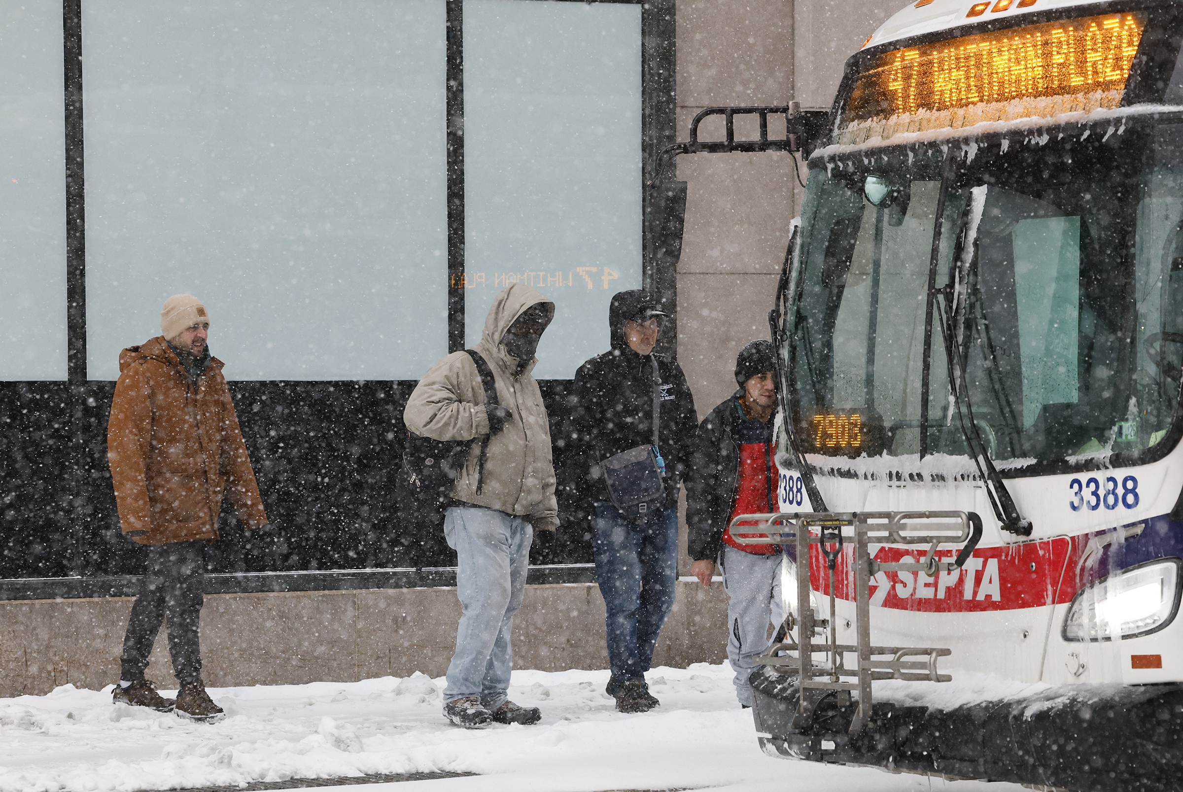
On Sunday evening SEPTA issued updated guidance on available service for the rest of the day.
All SEPTA bus routes will be suspended at 10 p.m. Sunday, the transit agency announced.
Regional Rail trains and the Norristown High Speed Line will operate until the end of scheduled service on Sunday evening.
The Center City Trolley Tunnel will close at 9 p.m. Sunday. Service on trolleys will continue until the scheduled end of service on Sunday evening or until conditions permit it.
The D Line Trolley route is currently being operated by a bus. That service will conclude at 10 p.m. Sunday and the trolley service by train will resume in the morning weather permitting.
// Timestamp 02/22/26 7:24pm
NJ Transit to suspend rail service
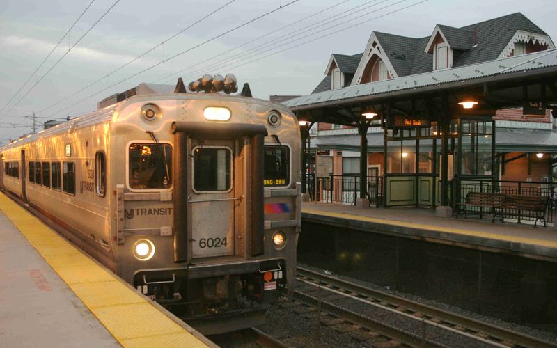
NJ Transit will suspend its all rail service by 9 p.m. Sunday, the agency announced in a news release.
Earlier, the transportation agency stopped its bus, light rail, and Access Link services. Trains were initially excluded from the closures, but Gov. Mikie Sherrill warned the shutdown was likely.
Some routes will end service before 9 p.m., but no trains will leave their origin point after 9 p.m. Customers should check the transit authority’s website or social media for updates.
// Pinned
// Timestamp 02/22/26 6:50pm
Bands of heavy snow moving across the Philly region
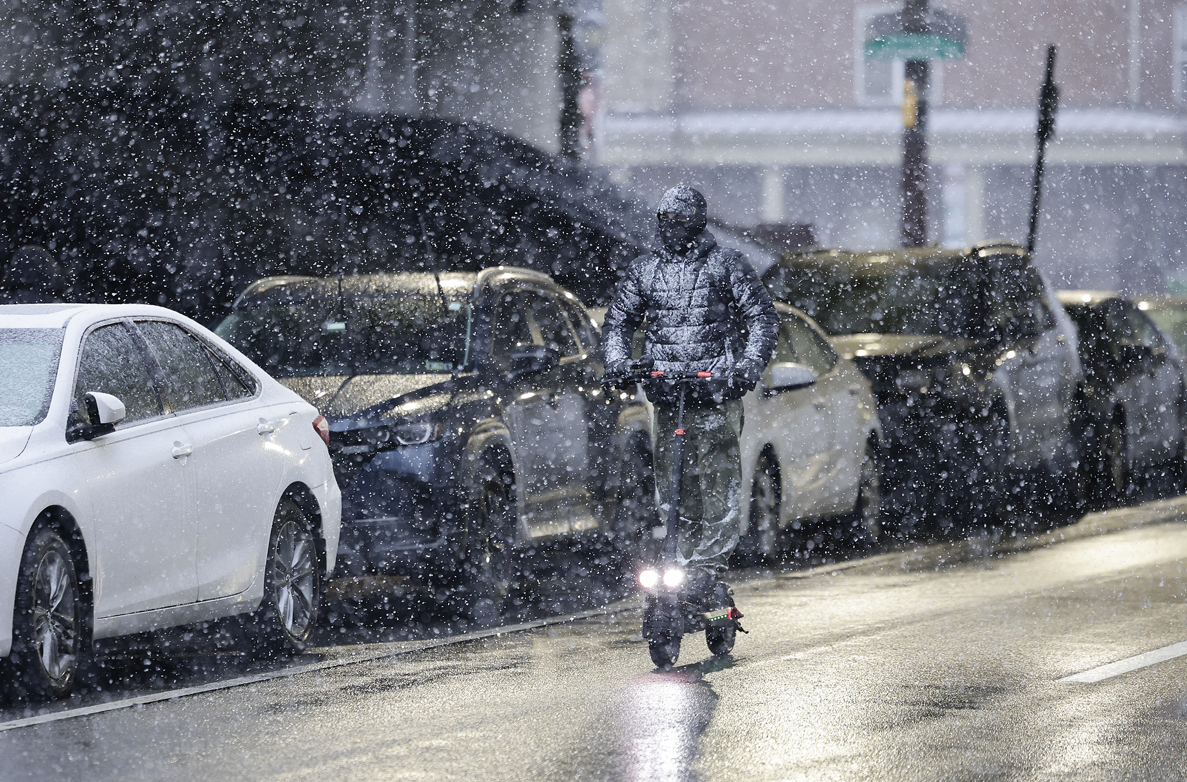
Some “bands” of heavy snow were moving across the region Sunday evening, and that is likely to continue through the night, said Nick Guzzo, meteorologist with the National Weather Service in Mount Holly.
“Banding,” in which narrow corridors of heavy snow migrate from place to place, are common during winter storms. Areas under the bands can receive a quick couple of inches of snow.
By nightfall some totals of 1 to 2 inches were reported in the Philadelphia area and at the Shore. Forecasters said rates of two inches an hour were possible at times.
Totals are likely to vary around the region, in part to the randomness of banding, said Guzzo.
Banding or not, everyone is going to be seeing a whole lot of snow before it ends Monday, he said.
The weather service is calling for 12-18 inches in the immediate Philadelphia area, with as much as two feet in parts of South Jersey.
Some drifting is possible later when winds – gusting up to 45 mph inland, and 60 mph at the Shore – kick up and the snow becomes drier, said Guzzo.
(function () {window.addEventListener(‘message’, function (e) { var message = e.data; var els = document.querySelectorAll(‘iframe[src*=”‘ + message.id + ‘”]’); els.forEach(function(el) { el.style.height = message.height + ‘px’; }); }, false); })();
// Timestamp 02/22/26 6:47pm
A slew of travel restrictions put in place across the Philly region
PennDOT reduced the speed limit on a number of Philadelphia-area highways Sunday evening, including I-95 and the Schuylkill Expressway.
The speed limit is now 45 mph on the following Philly-area roadways:
- Interstates 76, 95, 295, 476, 676
- U.S. Routes 1, 30, 202, 422
- State Routes 63, 100 Spur and 309
PennDOT also issued Tier 4 restrictions on major roadways in Eastern Pennsylvania, which prohibits all commercial vehicles from driving. It also restricts buses, motorcycles, RVs, and passenger vehicles towing trailers.
New Jersey issued a travel ban on all non-exempt vehicles from driving on major roadways beginning at 9 p.m. The New Jersey Turnpike is not includes in the restriction.
Delaware issued Level 1 driving restrictions, which calls on residents residents not to drive “unless there is a significant safety, health, or business reason to do so.”
// Timestamp 02/22/26 5:40pm
Philly City Council closed Monday
All Philadelphia City Council offices will be closed Monday as a massive winter storm makes its way across the region, President Kenayatta Johnson’s office announced Sunday afternoon.
A Public Health and Human Services Committee hearing on reproductive health scheduled to take place Monday will be postponed to a later day, .
Philadelphia Mayor Cherelle L. Parker had previously announced all city offices and schools would be closed Monday due to the storm.
// Timestamp 02/22/26 5:34pm
Hundreds of flights canceled at Philadelphia International Airport
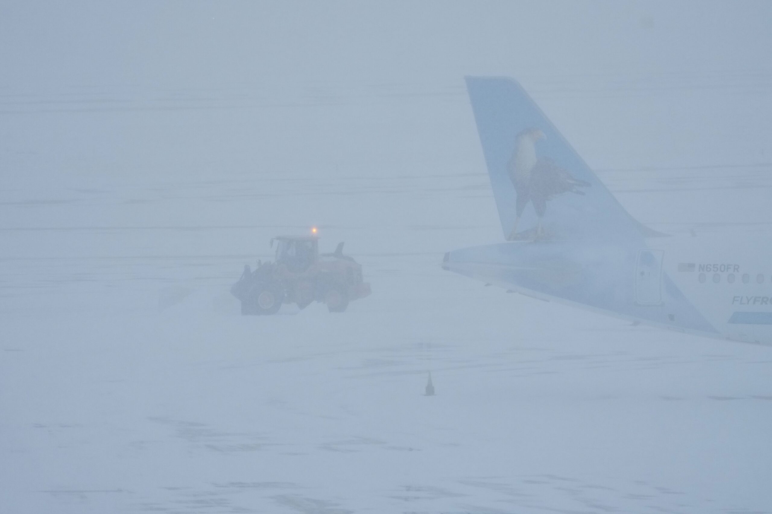
356 flights had been cancelled at Philadelphia International Airport on Sunday as of 5 p.m., as snow started to blanket the city. Another 579 flights were cancelled for Monday, according to FlightAware, which tracks flights.
“Passengers should check on the status of their flights with their airlines—the airlines will also provide guidance on what passengers should do in the event their flights are cancelled,” said airport spokesperson, Heather Redfern on Sunday afternoon via email.
Some 40 million square feet need to be cleared at the airport when snow falls, including on airplane runways and taxiways. The airport also has an additional 11.9 million square feet of space on roadways, ramps and parking lots.
While airplanes are deiced by the airlines, the department of aviation is required to ensure runways and taxiways are clear.
More than two inches of dry snow or half an inch or wet snow trigger closing a runway, according to regulations by the Federal Aviation Administration (FAA), noted Redfern. Even if flights are canceled by airlines or in the event that the FAA issues a ground stop, the airport does not close, Redfern noted in January ahead of another snowfall.
The machinery that has been used at the airport to tackle snow in the past sports weather related names: Snow Angel, Ice Wookie, Multifarious, Snowmizer, Snow Slayer, Time Bandit, Arctic Fox, Snow Jawn, Nor’easter, Yeti, Storm Breaker, Terra Hawk, Silver Hawk, Heatwave, Tropic Breeze, and Heatmizer.
// Timestamp 02/22/26 4:56pm
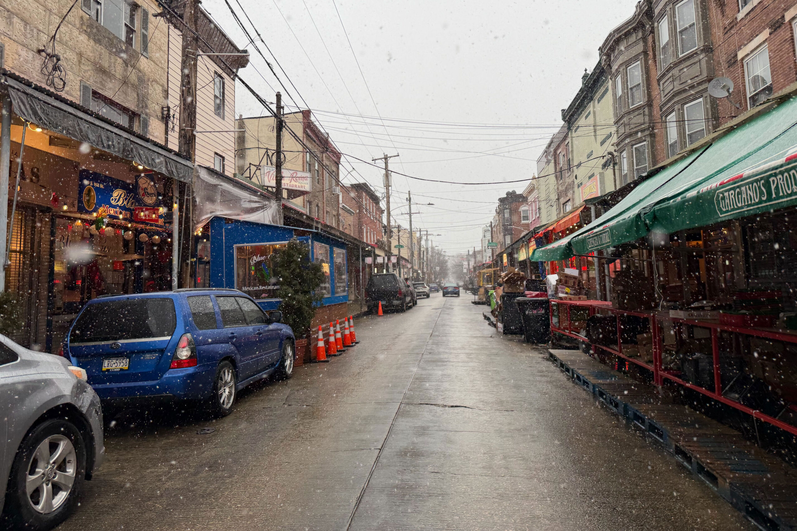
Photos: Snow begins to fall in Philadelphia
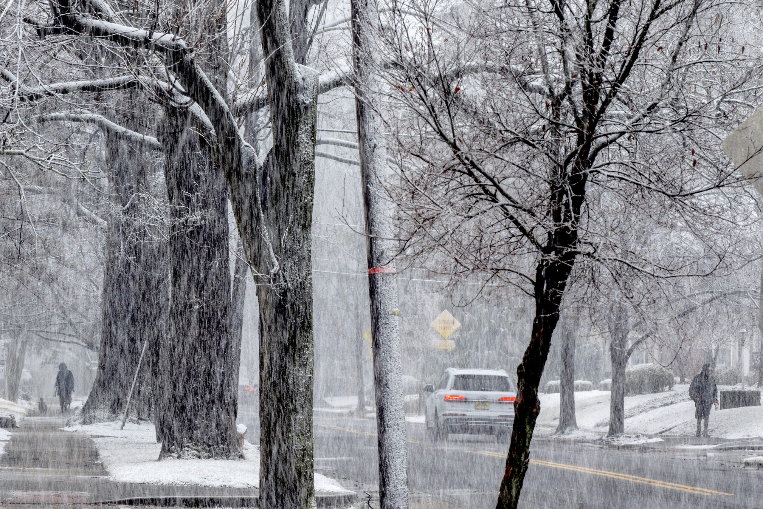
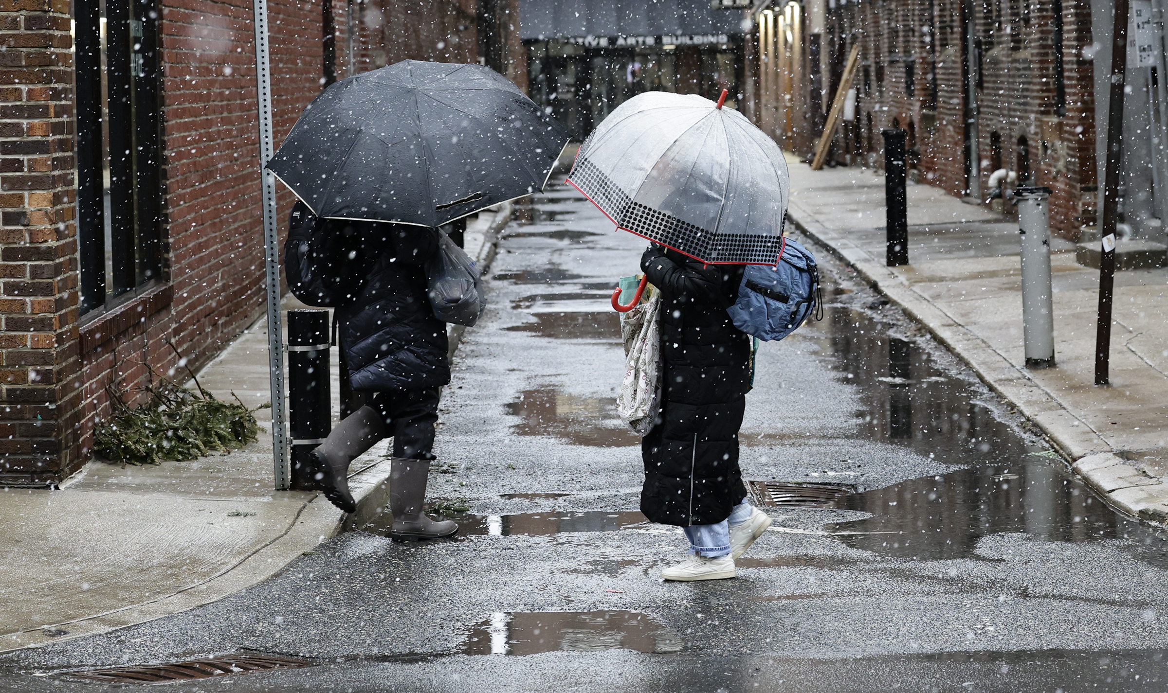
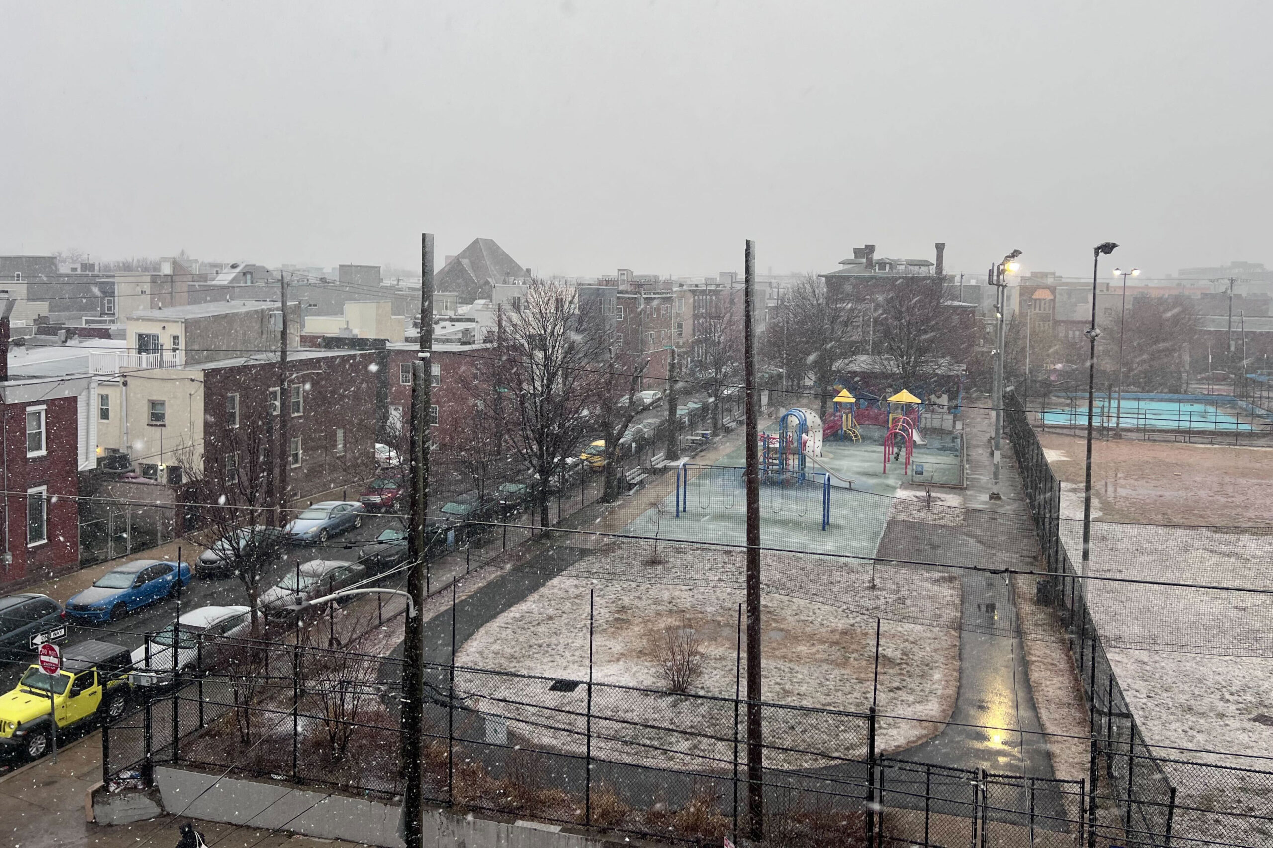
// Timestamp 02/22/26 4:42pm
PSE&G prepares for outages due to ‘heavy wet snow and elevated winds’
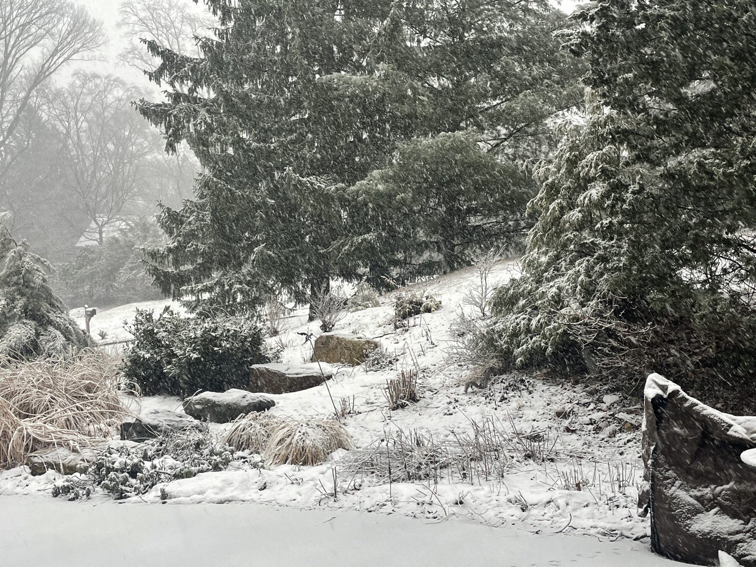
Outages due to the snowstorm are expected, Brian J. Clark, senior vice president of PSE&G, the energy company based in Newark, said in a press conference around 3:45pm on Sunday.
PSE&G, which provides electricity and gas, services parts of Burlington, Camden, and Gloucester Counties.
“The increased heavy wet snow and elevated winds remain our major concerns,” said Clark on Sunday. “We may see large limbs and possible decayed trees fall and make contact with our lines.”
Roughly 3,000 PSE&G electric field personnel were on hand to help restore service on Sunday, which includes tree trimmers and line workers.
Restoring service includes clearing wires that have fallen and may be blocking roads, to ensure emergency responders can circulate. The utility company focuses on restoring service to “the largest blocks of customers first, and working concurrently with other crews downstream to restore individual homes and businesses,” said Clark.
Customers can check the company’s outage map to find out how long restoring service is estimated to take in their area.
“We’re fully staffed, which includes strategically placing folks at different points in our service territory to respond quickly to emergencies,” said Clark. “At PSE&G, our service to our customers, businesses and governmental locations is extremely important to us. Our team will be fully engaged around the clock until everyone is restored.”
// Timestamp 02/22/26 4:29pm
‘Code Blue’ for Philadelphia, city to open warming sites

City officials on Sunday instituted a “Code Blue” that’s set to last until 9 a.m. Tuesday.
A Code Blue is declared when precipitation is falling and temperatures are 32 degrees or lower, or when temperatures feel close to or below 20 degrees due to the wind chill. The designation means that the city sends out outreach teams 24 hours a day to find people without shelter and take them to “safe indoor spaces.”
It also opens up additional shelter beds, and residents in emergency housing are allowed to stay inside all day. (Some shelters require residents to leave in the morning and return at night.)
On Sunday afternoon, the city announced that warming sites would open at several locations across the city on Sunday evening:
- Hub of Hope, 4 p.m.: 15th Street trolley entrance in Dilworth Park, 1 S. 15th Street
- Samuel Recreation Center, 7 p.m.: 3539 Gaul St.
- Kensington Wellness Support Center, 9 p.m. to 9 a.m.: 265 East Lehigh Ave.
- Prevention Point, 9 p.m. to 6 a.m.: 2913-15 Kensington Ave.
People who need shelter or who see someone sleeping outdoors should call the city’s homeless outreach hotline at 215-232-1984. People can also visit a homeless intake center; the city’s after-hours intake centers are open 24/7 during a snow emergency. The city will also open its Appletree Family Center at 1430 Cherry Street, at 6 p.m. through Monday.
The city said capacity at the warming centers is 280 and shelter beds also had room to take people; typically, the city operates 3,000 shelter beds year round and adds at least 400 extra during the winter. During Code Blue, another 50 beds are added.
Some advocates said early Sunday the city should do more to get people sleeping on the streets inside. Declaring an “enhanced Code Blue,” which typically occurs after three days of Code Blue conditions have passed, would open warming centers, which allow people spaces to sit to get out of the cold. During the last cold snap, libraries served as warming centers during the day and rec centers opened to shelter people at night.
Some staff at libraries said they had been overwhelmed during this month’s unusually long enhanced Code Blue, and that the city had not provided enough resources or staff to help warming center clients. Still, advocates for homeless Philadelphians say the warming centers are a lifeline in potentially dangerous weather conditions, especially for people who are wary of entering shelters.
// Timestamp 02/22/26 4:02pm
Rain switches over to snow in Philly; nearly 2 inches already in Somers Point
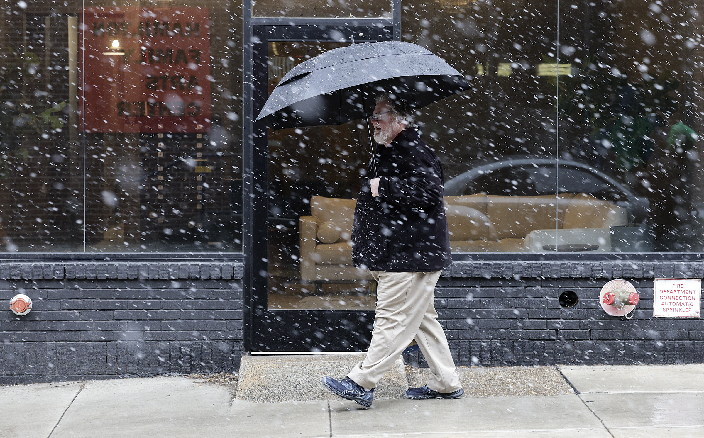
Rain began switching over to snow in Center City Philadelphia and across the region just before 4 p.m. Sunday as residents brace for snowfall totals of a foot or more.
In Somers Point, N.J., 1.7 inches of snow had already fallen, as reported to the National Weather Service by a trained spotter. Another recorded 2 inches of snow in Belltown, Sussex County, Del.
The agency is still calling for 14 to 20 inches of snow to fall in and around Philly through Monday morning, with the heaviest snowfall expect to take place this evening.
Heavy snow could be seen on webcams up and down the Jersey Shore, from Wildwood to Seaside Heights, areas expected to be hit the hardest by the massive storm. All of New Jersey’s 21 counties are expected to get a foot or more of snow, Gov. Mikie Sherrill warned during a news conference earlier in the day.
// Timestamp 02/22/26 3:17pm
Camden, other school districts announce snow closures
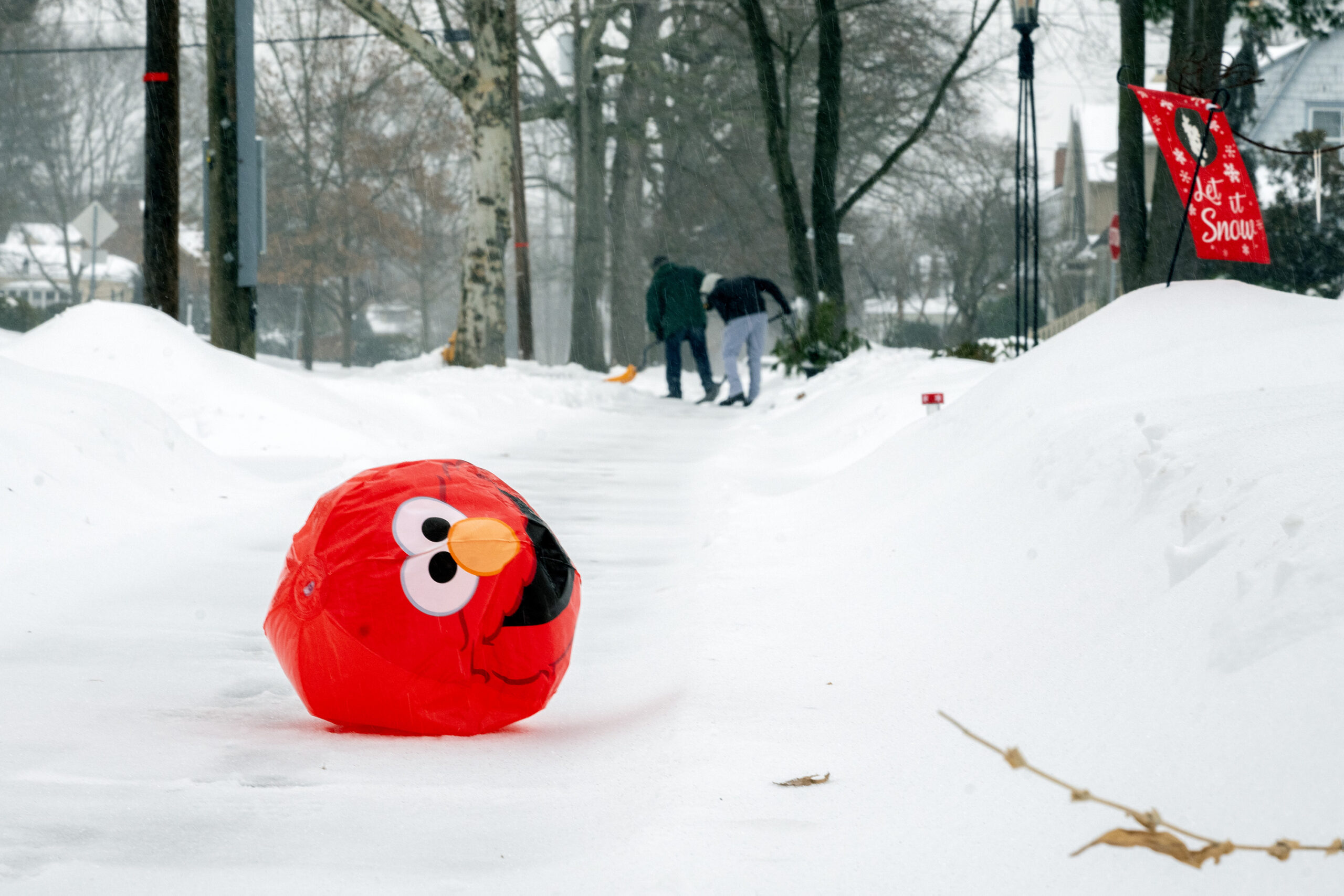
As the blizzard bears down, school districts across the region have announced either pivots to virtual instruction or full closures.
Cherry Hill, Moorestown, and Evesham are closed, for instance; so are Lower Merion, Neshaminy and Downingtown. Pennsbury and Central Bucks have called virtual instruction days, while Upper Darby will move to a remote learning day.
Camden schools will be closed. The district has amended the school calendar, tacking on an extra day to the end of the school year. Elementary students will now finish the school year on June 24, and high school students on June 25.
In Delaware, all districts in New Castle County have announced they will be closed Monday. Because of Delaware’s state of emergency, it will be a true snow day for students – no Zoom required.
— Kristen A. Graham, Rob Tornoe
// Timestamp 02/22/26 3:06pm
Philly residents ‘snowload’ ahead of Sunday’s storm
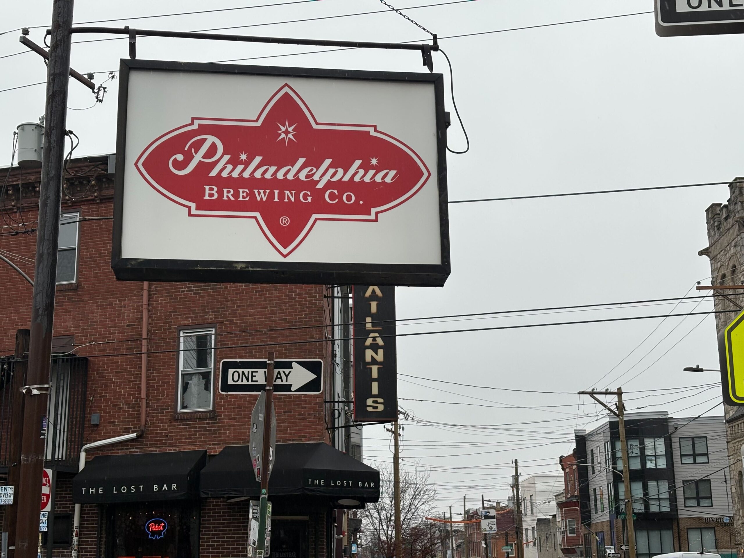
The precipitation had yet to shift from rain to snow Sunday afternoon, but patrons at neighborhood bars were already buttoning up their beer coats.
It’s a phenomenon called a “snowload” — when people flock to barstools and find solace from bad weather at the bottom of a citywide special or hot toddy, according to Les & Doreen’s Happy Tap bartender Bill Coburn and others.
With the city shut down and some workplaces closed for inclement weather Monday, blizzards and beer just make for the perfect adult snow day, bargoers said.
“I think it comes from when you’re a kid — you have a snow day and you all go out somewhere, go sledding,” said James Brenner, 43, who lives above Atlantis, The Lost Bar in Kensington. “It’s just an adult version of that.”
Bartender Michelle Graser agreed – barhopping and snow frolicking brings out camaraderie between neighbors.
The crowds weren’t out in earnest just after noon Sunday; there were some stragglers who came to watch the U.S.A.-Canada Olympic men’s hockey matchup. Some of the bars expected business to pick up later Sunday evening and into Monday.
Nearly everyone who spoke with The Inquirer advised “snowload”-ers to tip their bartenders handsomely and avoid drinking and driving. Ideally, they said, to stick to your walkable, corner bar.
// Timestamp 02/22/26 2:35pm
Slightly less snow in latest Philly forecast as heavy snow falls in Delaware
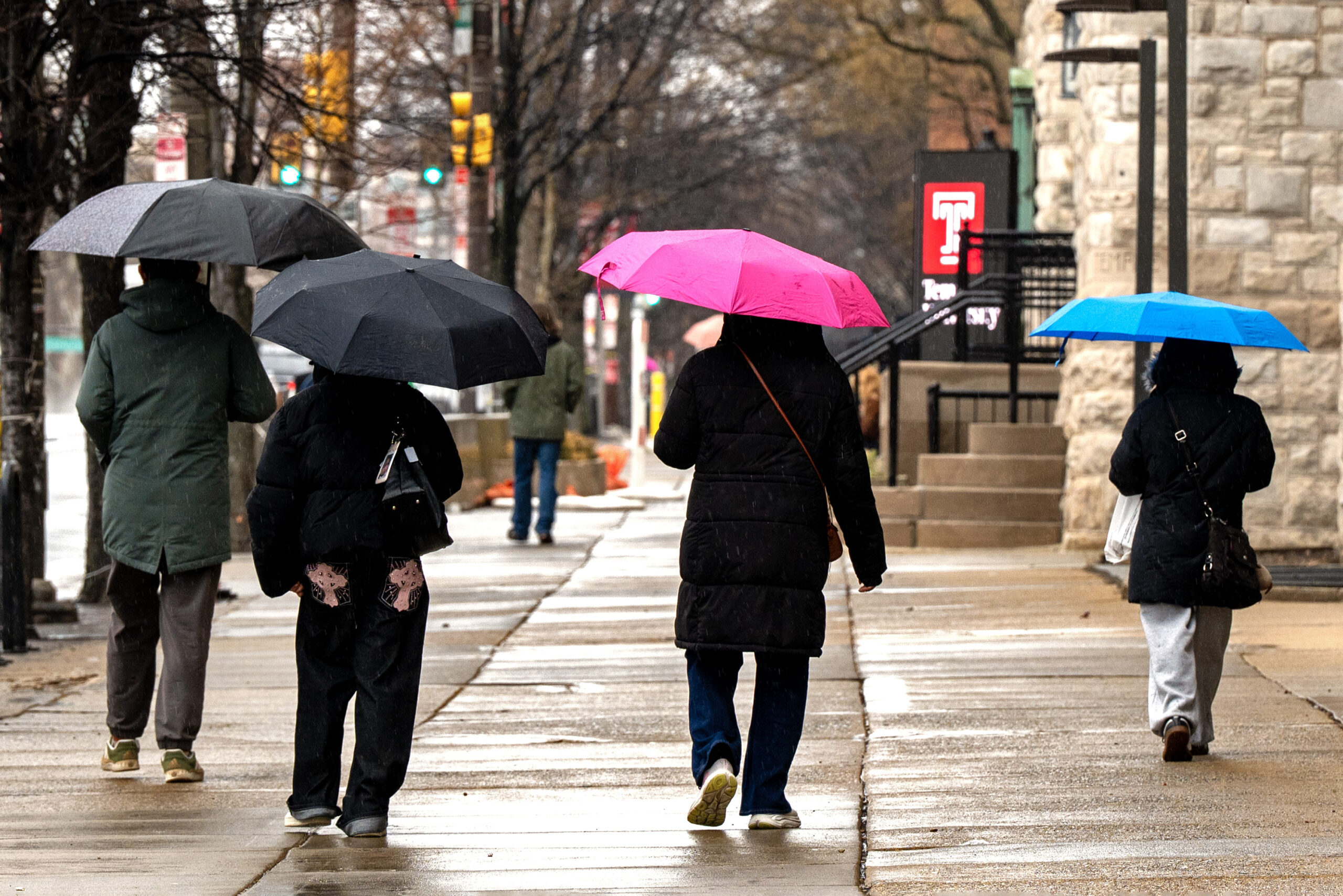
At midafternoon the nor’easter was intensifying off the coast of Virginia, and heavy snow had moved as far north as southern Delaware.
Rain continued in the Philly region, and snow was likely to hold off until 5 or 6 p.m., said Tom Kines, senior meteorologist with AccuWeather Inc.
AccuWeather’s forecast amount, 10 to 14 inches, was more conservative than the National Weather Service’s call for 14 to 20 inches. The weather service had shaved off a few inches from its earlier forecast as updated computer guidance was less bullish on the amounts.
Kines added that if the snow were to hold off until later, amounts would be lower.
(function () {window.addEventListener(‘message’, function (e) { var message = e.data; var els = document.querySelectorAll(‘iframe[src*=”‘ + message.id + ‘”]’); els.forEach(function(el) { el.style.height = message.height + ‘px’; }); }, false); })();
// Timestamp 02/22/26 2:14pm
PATCO to operate on snow schedule Sunday and Monday
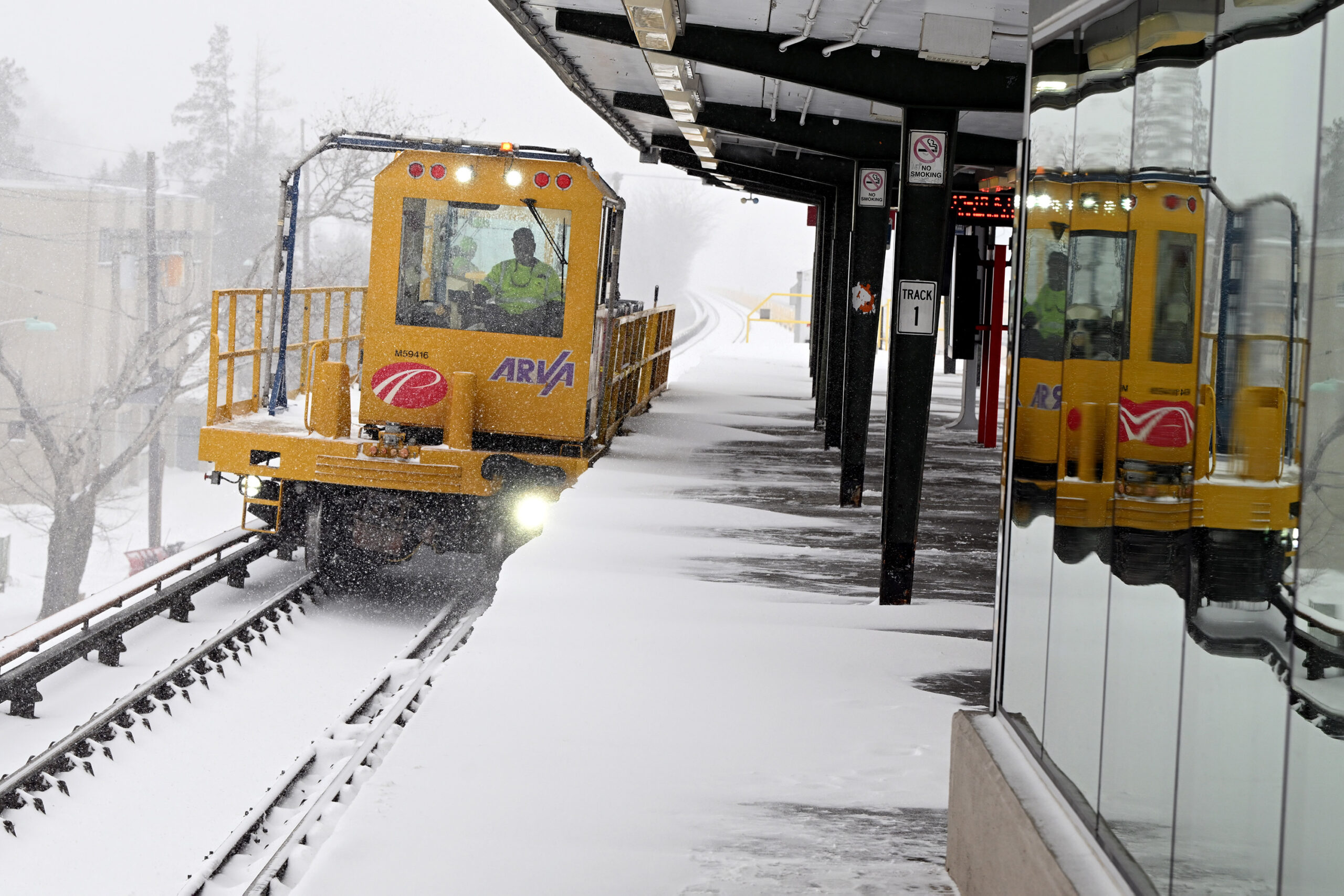
PATCO trains will run at reduced speeds on Sunday and on an abbreviated schedule on Monday as the region braces for a significant winter storm.
On Sunday, trains will operate on a typical Sunday schedule but trips may take up to 10 minutes longer in order to maintain the safety of passengers and crew, the agency said.
On Monday, trains will operate every 12 minutes for most of the day, as opposed to the typical 5-7 minutes at peak times and every 15-30 minutes at other times.
Mike Williams, PATCO spokesperson, advises riders to stay up to date on service interruptions by following PATCO on social media and through text alerts.
// Timestamp 02/22/26 2:11pm
NJ Transit to suspend most service ahead of storm
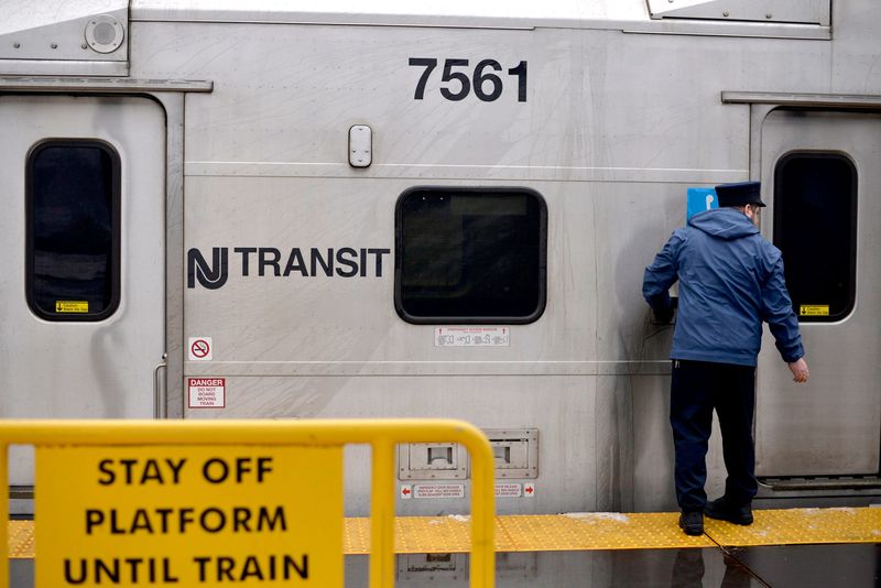
NJ Transit will suspend its bus, light rail, and Access Link service at 6 p.m. Sunday, the agency announced.
Trains will continue to run, but both the agency and Gov. Mikie Sherrill warned a shutdown later this evening was likely.
Speed restrictions of 35 miles per hour will go into effect on the New Jersey Turnpike, Garden State Parkway, and other highways through the state at 3 p.m.
“In our last storm, I said, ‘don’t travel if you don’t have to.’ Now, I’m saying, ‘don’t travel tonight.’ It’s dangerous,” Sherrill said at a Sunday afternoon news conference.
// Timestamp 02/22/26 1:43pm
‘These kind of winters were common when I was a kid’

Holding a single grocery bag, Eric Dobson, 57, was taking the impending storm with calm and nostalgia.
“These kind of winters were common when I was a kid,” said the Germantown resident. “I guess we have become soft, so we panic.”
With enough salt still stocked up at his home from last month’s storm, Dobson’s mind was on getting some groceries at the Germantown Weavers Way Co-op.
“I don’t know why we always get milk and bread in the storms,” said Dobson with a laugh. “I don’t even think we eat that much bread.”
A last-minute food craving sent Norman Bayard, 52, to the grocery store.
“I’m ready to hunker down,” Bayard said. “My family is at home; we have water and flashlights, but we didn’t have all the ingredients for the chili.”
Ashley Ellis Gitongu, 33, brought her three boys to the grocery store as a last outing before the storm.
“I’m not too worried, but we are going to be stuck inside for two days,” Gitongu said, looking at her 8- and 5-year-old boys roughhousing.
With schools closing in Philly, she predicts “a lot of arts and crafts are in our future.” Her husband, she said, will take the children sledding. But if snow fun isn’t possible, they found a solution during the last storm, turning their home into an “open house.”
“All the furniture is out of the way in the living room, so they can play soccer inside,” Gitongu said. “We have softballs, legos, anything to keep them active and distracted.”
// Timestamp 02/22/26 1:33pm
SEPTA expects ‘significant service disruptions’
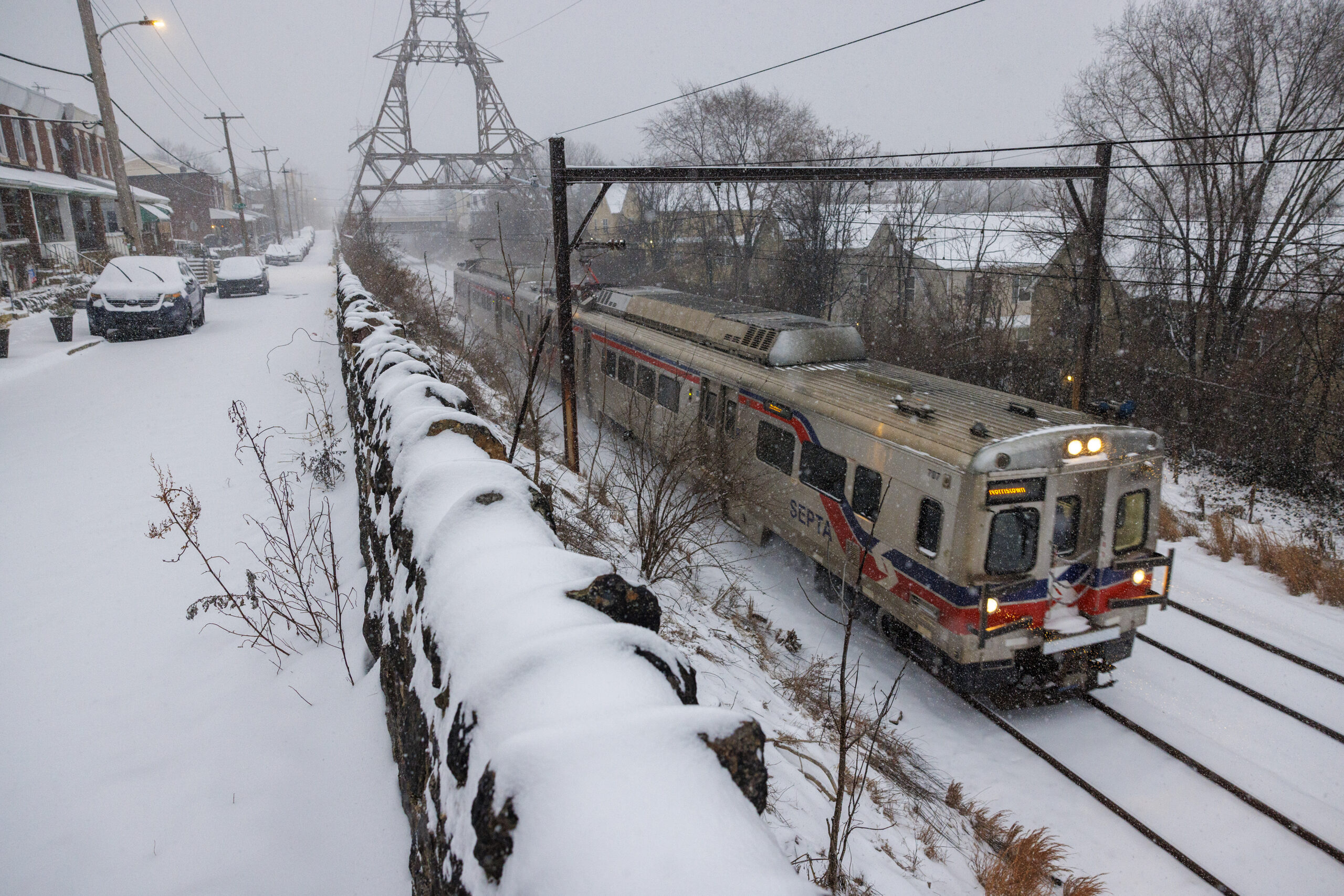
As the region awaits the arrival of a snowfall that is expected to be in the double digits, SEPTA is warning riders that transit will be impacted.
“We want to be clear with our customers – there are going to be significant service disruptions,” said SEPTA General Manager Scott A. Sauer in a statement. “This is going to include delays, trip cancellations, and likely shutdowns of routes and entire modes of travel.”
Whenever possible, SEPTA will provide customers with at least two hours’ notice before service suspensions, the agency said.
SEPTA has also pretreated parking lots and tracks, tapping into the agency’s stock of 4,000 tons of rock salt. Depending on when the snow stops, SEPTA officials anticipate it could take until midweek to clear the nearly 300 Metro and Regional Rail stations throughout the five-county region.
For overall service information, visit septa.org/snow. For updates on individual routes, visit septa.org/alerts.
// Timestamp 02/22/26 12:51pm
Pennsylvania issues disaster declaration; commercial driving restrictions begin at 3 p.m.
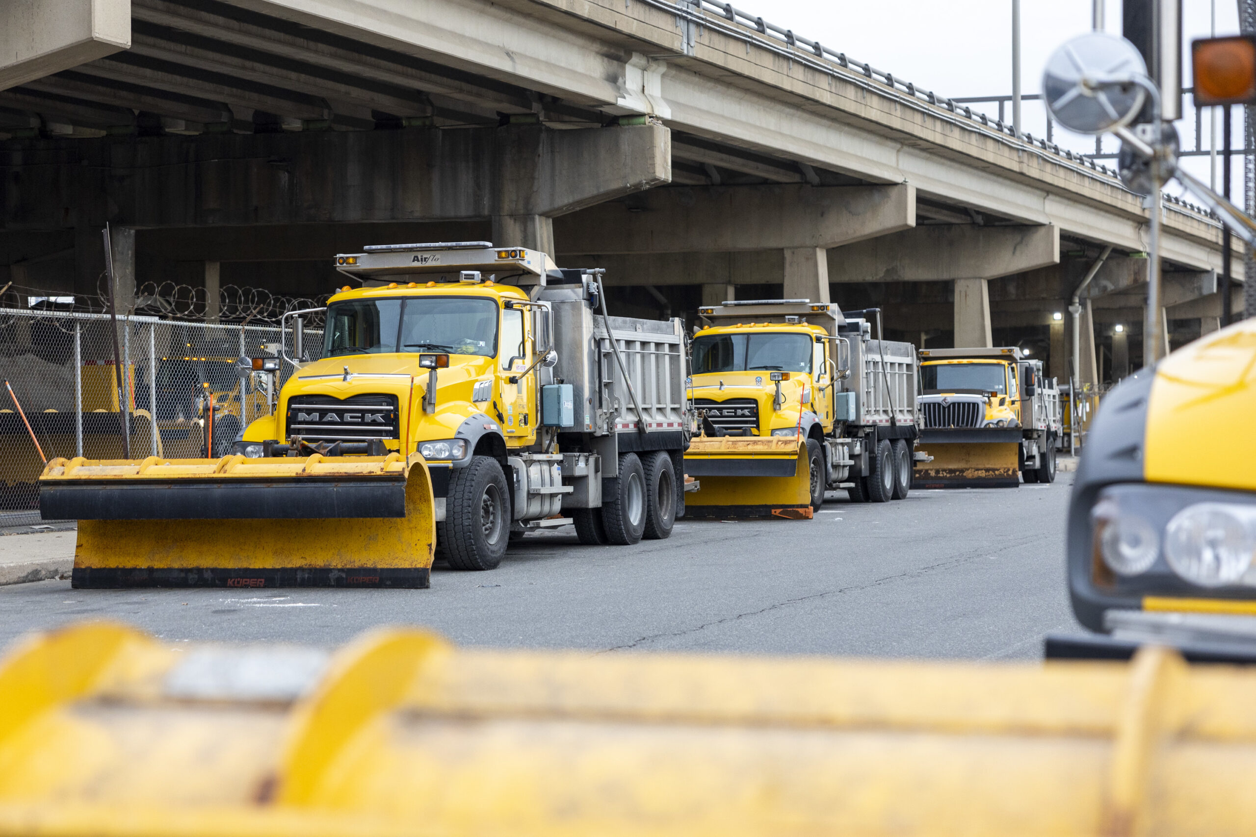
Gov. Josh Shapiro announced a disaster emergency during a new conference Sunday afternoon ahead of a massive snowstorm expected to blanket most of Eastern Pennsylvania, including Philadelphia.
The declaration allows state resources to be activated and enables local governments to activate their own emergency plans to respond to the storm, which is expected to drop a foot or more of snow in and around Philadelphia.
Shapiro said state officials expect the heaviest snow — potentially one to two inches an hour — to begin around 5 p.m., and urged drivers to travel only if absolutely necessary.
“I ask you to stay off the roads, particularly when the snow begins,” Shapiro said, “so that the plows can get out there, clear the roads and get you back moving as quickly as possible.”
PennDot Secretary Michael Carroll said commercial truck restrictions will begin at 3 p.m. He also said he expects tighter rules on more motorists during the heaviest portions of the storm.
// Timestamp 02/22/26 12:29pm
Despite rain, more than a foot of snow still expected to fall in Philly
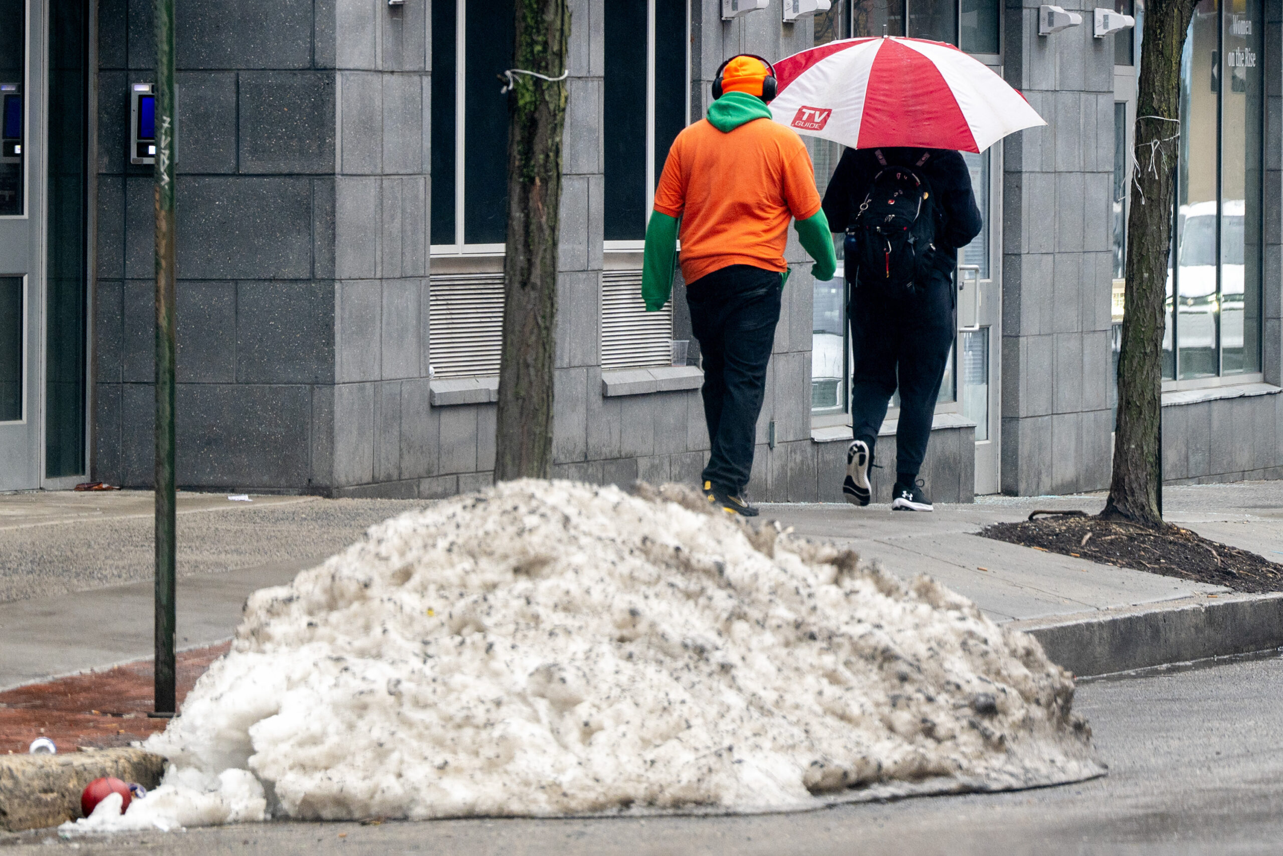
Rain continued to fall Sunday afternoon with temperatures well above freezing, but forecasters say a drastic change for the worse is coming.
Blizzard warnings are in effect for the Philly region and all of New Jersey and Delaware for wind gusts to 45 mph and 14 to 20 inches of snow.
Those estimates may be “a bit high,” said Ray Martin, lead meteorologist with the National Weather Service Office in Mount Holly, but a “bit high” still would be quite a boatload of snow, the most since February 2010.
Moderate to major flooding was forecast at the Shore with onshore winds howling up to 60 mph.
The snow will be wet and heavy, ideal for accumulating on trees and wires, and combined with the winds may cause some power outages.
This is the first time ever that all of New Jersey has been under a blizzard warning, said Judah Cohen, a Massachusetts Institute of Technology research scientist.
Philadelphia has not experienced a verifiable blizzard in 33 years. A blizzard is defined as heavy snow with winds of 35 mph an/or quarter-mile visibility for three consecutive hours.
(function () {window.addEventListener(‘message’, function (e) { var message = e.data; var els = document.querySelectorAll(‘iframe[src*=”‘ + message.id + ‘”]’); els.forEach(function(el) { el.style.height = message.height + ‘px’; }); }, false); })();
// Timestamp 02/22/26 10:25am
What is a ‘bomb cyclone?’
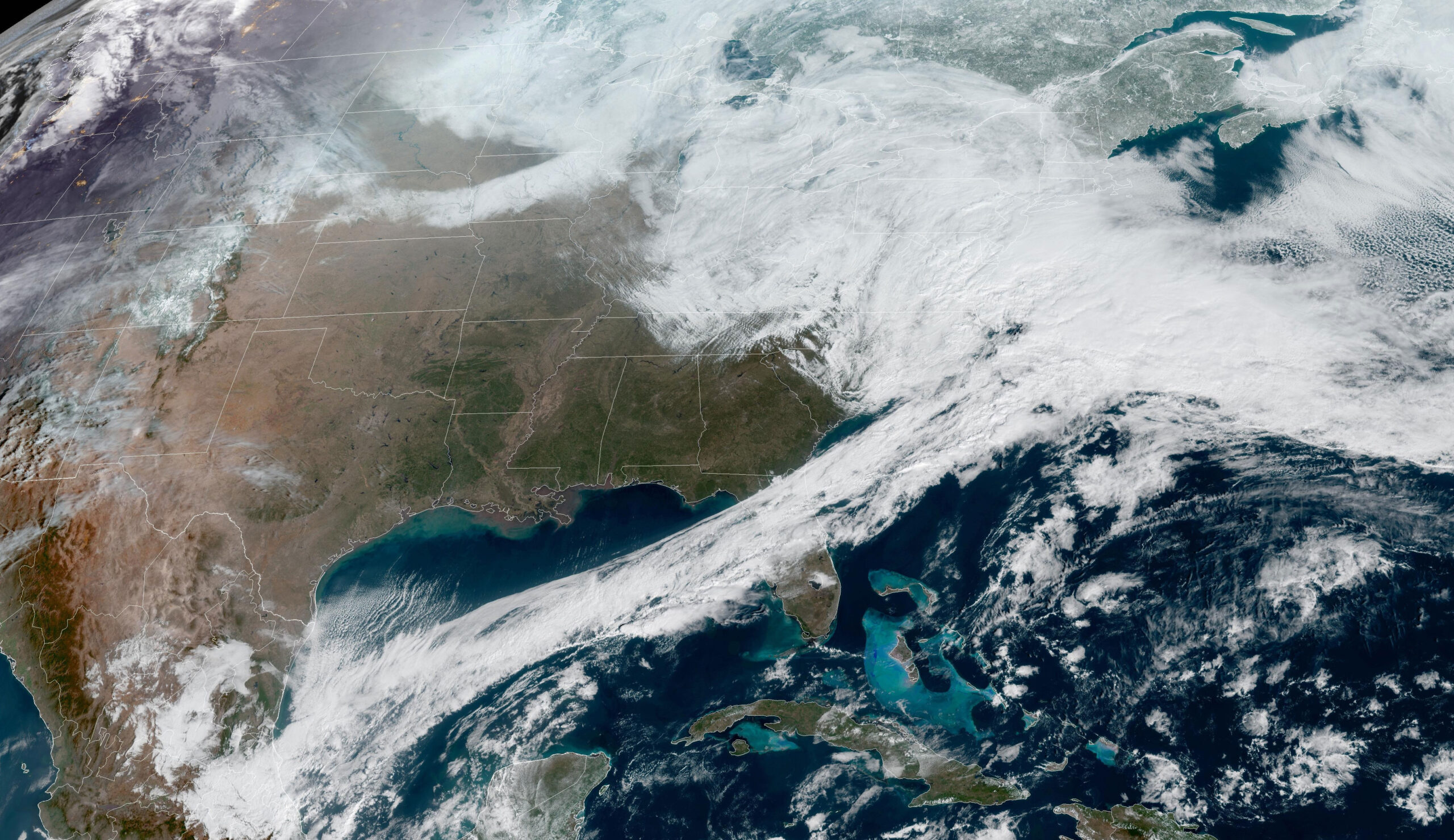
The storm developing off the Southeast Coast will qualify as a meteorological “bomb cyclone,” said Cody Snell, meteorologist with the Weather Prediction Center.
Just what does that mean? The technical description is on the geeky side — a barometric pressure drop of 0.7 inches in the center of a cyclone in a 24-hour period. Unofficially, it’s one mighty intense storm.
It so happens that the U.S. East Coast is in a prime area to experience the effects of those storms, according to the atmospheric scientists who are credited with minting the term in a 1980 paper, John Gyakum and Frederick Sanders.
The warm waters of the Gulf Stream are breeding grounds for potent storms that can form when cold air bounds off the coast.
Gyakum, a professor at McGill University in Montreal, recalled that well before the paper was published, the term “bomb” was used commonly in the halls of the Massachusetts Institute of Technology, where he was a grad student under Sanders.
The term has taken some blowback, but Gyakum argues that given the potential damage these storms can cause, “bomb” is appropriate.
// Timestamp 02/22/26 9:05am
Trash collection in Philly suspended through Wednesday
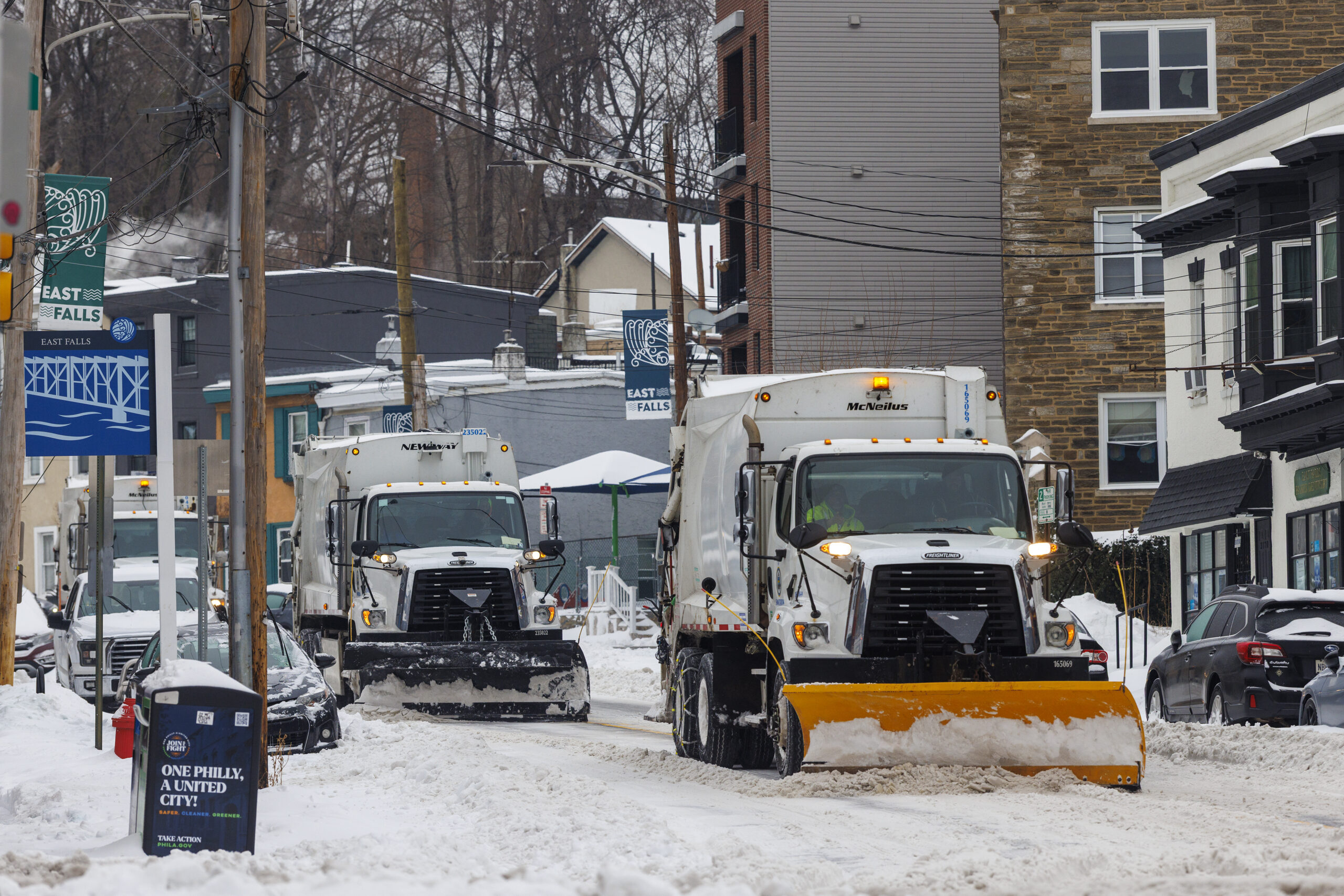
Trash and recycling collection in Philadelphia will be suspended the next few days as the city braces for as much as two feet of snow.
Collections are suspended Monday and Tuesday, the city announced. As of now, service will resume Wednesday on a two-day delay, with Monday collections picked up Wednesday and subsequent days following the same schedule.
The city is also suspending collections in rear driveways for the entire week, due to the possibility of trucks getting stuck in the snow. Residents are asked to set their materials in front of their homes for pickup.
Second trash collection is also suspended this week.
While trash and recycling will be suspended, the city’s six Sanitation Convenience Centers will be available to residents. A list of sites is available on the city’s website.
// Timestamp 02/22/26 8:48am
Philly schools go virtual Monday
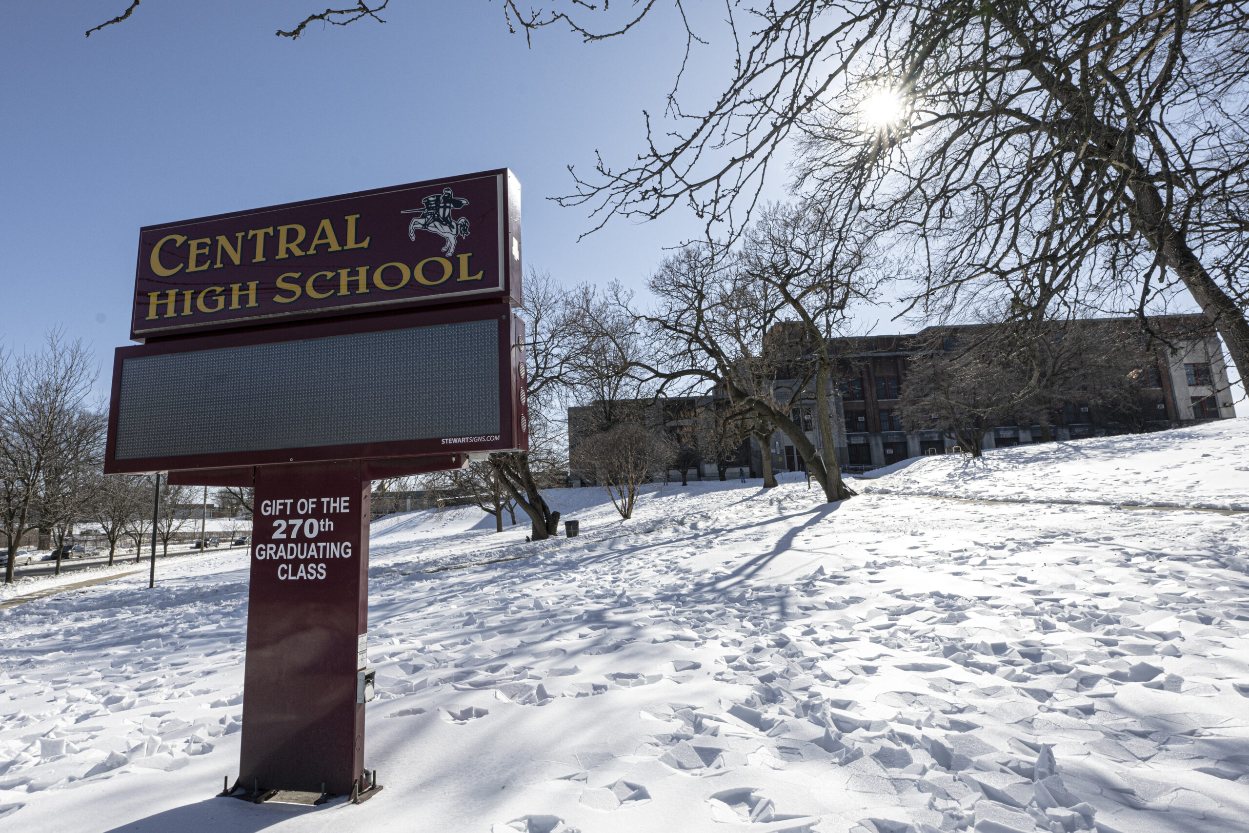
With an eye toward the coming blizzard, the Philadelphia School District has already called a virtual instruction day for Monday.
All district offices will also operate virtually.
“While we work to the greatest extent possible to keep schools open for in-person learning to accelerate student achievement, we also consider the staff members who are commuting from across the region and keep the safety of students and staff as our top priority,” Superintendent Tony B. Watlington Sr. said in a message to families and staff.
The district gave students one full snow day in January, but has no more cushion built into its calendar. Any further inclement weather days will also be virtual instruction days, Watlington said.
“After Monday, if schools need to remain closed due to inclement weather, the district will provide an update to parents, guardians and employees regarding remote learning,” Watlington said.
// Timestamp 02/22/26 7:51am
Snowfall totals increase in latest forecasts; blizzard warnings expand
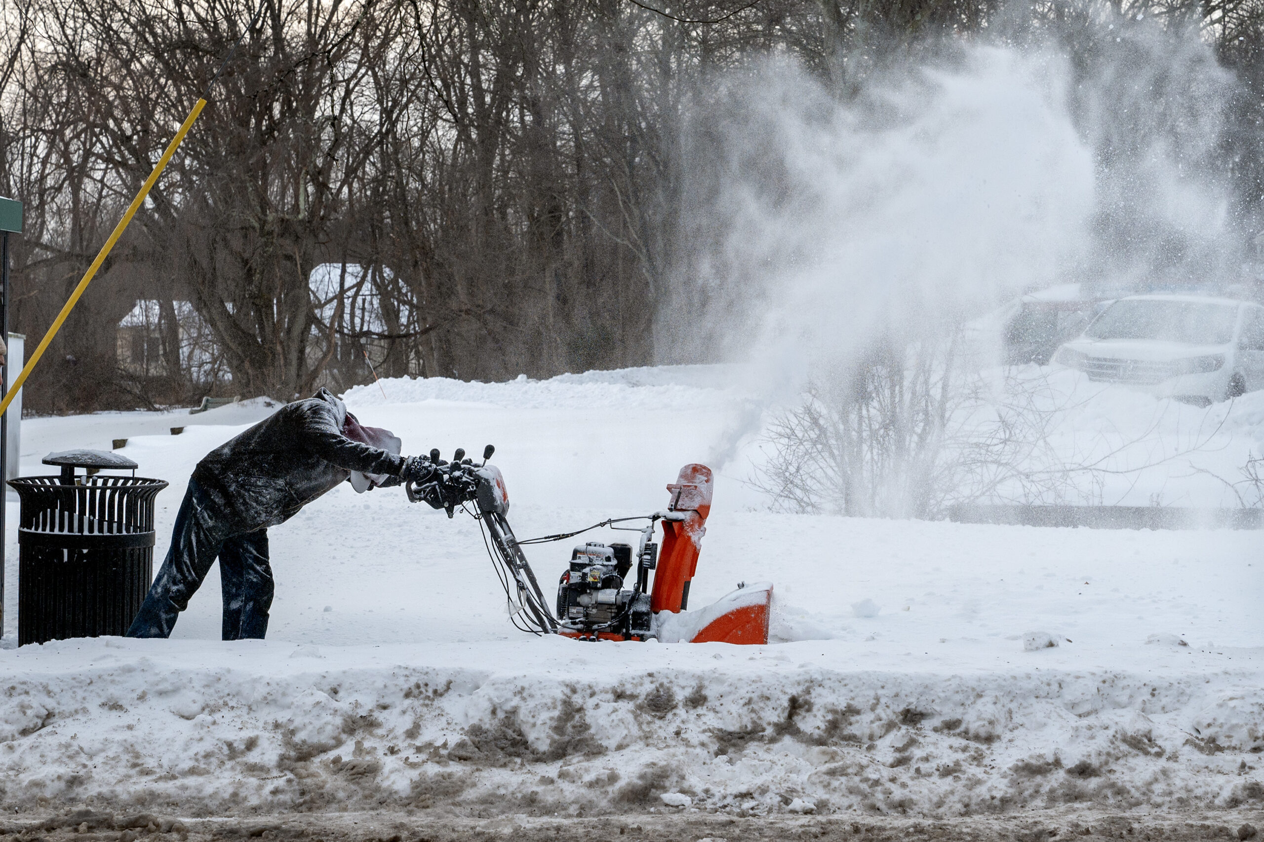
The National Weather Service expanded its blizzard warnings to include Philadelphia Sunday morning, as a “potentially historic winter storm” makes its way towards the Northeast.
Philadelphia, Bucks, Delaware, and eastern Montgomery Counties, and all of New Jersey and Delaware, are now under blizzard warnings through Monday.
Predicted snowfall has also increased in the past few hours, with as much as two feet of snow possible in the city. Winds gusts up to 60 mph and snowfall rates exceeding one to two inches per hour are also expected, forecasters said.
Blowing and drifting snow could create whiteout conditions, making driving dangerous and nearly impossible. The storm will certainly impact the Monday commute, with the strongest winds expected to occur Sunday night into the morning.
People are encouraged not to travel. Those who must do so should carry a winter survival kit.
“Travel could be very difficult to impossible,” NWS said. “Areas of blowing snow could significantly reduce visibility. The hazardous conditions will impact the Monday morning and evening commutes. Gusty winds could bring down tree branches and result in isolated power outages.”
Timing
Rain is expected to shift to snow by midday Sunday, and will continue through Monday afternoon. The heaviest snowfall is expected Sunday evening and overnight.
The blizzard warning remains in effect from 10 a.m. Sunday to 6 p.m. Monday.
The weather service included the Philly area in its blizzard warning after getting “higher confidence” data showing a likelihood of heavy snowfall and whiteout conditions in the region, said NWS meteorologist Ray Martin.
“Really, the bulk of the snow will start falling after sundown,” Martin said.
// Timestamp 02/22/26 7:50am
Philly snow emergency goes into effect Sunday afternoon; city government closed Monday as schools go virtual
“Mother Nature has spoken again and made it clear that winter is not over,” said Mayor Cherelle L. Parker during an emergency press conference, declaring a citywide snow emergency, starting 4 p.m Sunday. “Yet another big winter storm is coming. It’s a major snow storm with real accumulation anticipated, and it’s heading our way.”
City government and courts will not open Monday, while public schools will switch to virtual learning. SEPTA riders should expect significant service disruptions over the next three days, said officials, who implored drivers to stay off the road Sunday.
Dominick Morales, the city’s emergency management coordinator, described the expected storm as “dangerous,” adding that heavy, wet snow could threaten trees and power lines.
“Dangerous because of the amount of snowfall that is being forecast in about a 24-hour period, but it’s also dangerous because of high winds — and for Philadelphia — near blizzard conditions. When this storm picks up, we have to take it seriously,” he said.
When all is said and done, the total snowfall may be close to 18 inches in the city, and could surpass 20 inches in South Jersey, where high winds are forecast to create blizzard conditions, according to the National Weather Service. Early Sunday morning, the weather service extended a blizzard warning to cover Philadelphia and Bucks and Delaware Counties, as well as eastern Montgomery County and all of South Jersey.
“It does look like it’s going to be quite an impactful storm for the whole [I-]95 corridor and further east,” said Sarah Johnson, warning coordination meteorologist at the weather service’s Mount Holly office, on Saturday.
This will lead to potentially dangerous driving conditions starting Sunday into Monday. And the Shore and Delaware Bay could experience flooding during high tide Sunday evening.
— Mike Newall, Andrew Kitchenman, Maggie Prosser
// Timestamp 02/22/26 7:47am
‘Blizzard?’ It’s been awhile for Philly
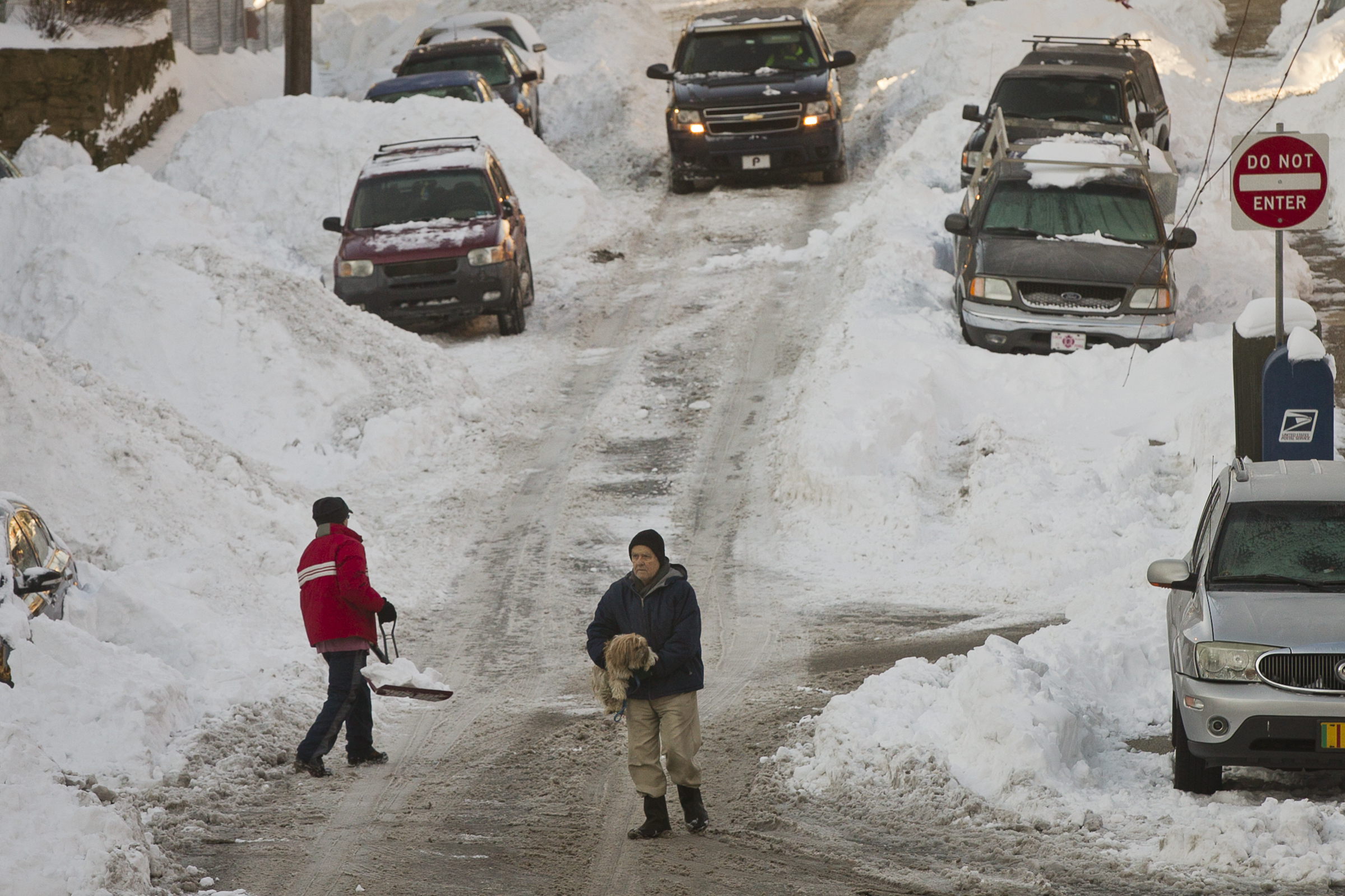
Officially Philadelphia has not recorded a blizzard since March 1993.
To meet the criteria – three consecutive hours of winds of 35 mph or greater and/or heavy snow reducing visibility to a quarter mile for three straight hours – the conditions would have to be observed at the first-order measuring station, which is at Philadelphia International Airport.
The criteria weren’t met during the record 30.7-inch snowfall of Jan. 7-8, 1996, but at the time many meteorologists at the National Weather Service in Mount Holly argued that in the court of common sense it was indeed a blizzard.
It certainly acted and felt like on to those who experienced it.
// Timestamp 02/22/26 7:45am
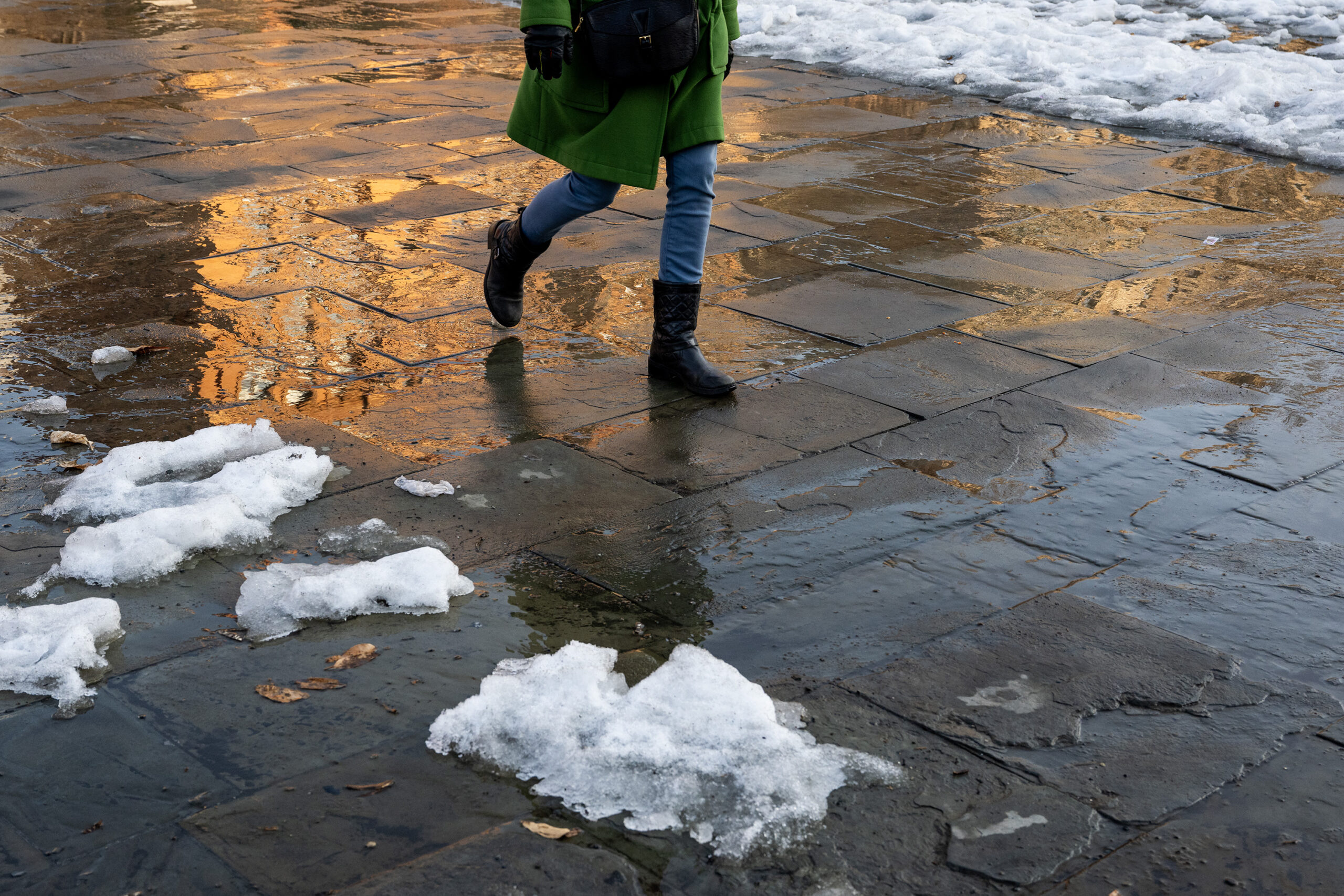
Snow, after it hits 52 degrees? It’s happened before
On Saturday it reached 52 degrees in Philly as more snow vanished (not the mountains), and here we are a day later with a major snowstorm expected.
A warmup preceding a snowfall isn’t all that unusual this time of year, when the battles between the encroaching warm seasons and the retreating winter can be intense. Storms tend to form along thermal boundaries, and this is a prime for those contrasts. In today’s case an invasion of cold air is interacting with warmer air over the Atlantic Ocean.
Once powerful storms get going they can draw in cold air. Plus the upper air this time of year can be quite cold, and heavily falling snow can bring some of that to the surface.
One prime example of a snowstorm following a warmup occurred on Feb. 23, 1987. High temperatures the day before reached the low 50s. During the early morning hours of Feb. 23, heavy snow fell, accumulating 6.5 inches at Philadelphia International Airport, with totals several inches higher elsewhere in the city, and two feet in Downingtown.
On the plus side, a warmup after a snowfall isn’t all that unusual in late winter.
// LiveBlog Name: Snowstorm
// RelatedLink Text: Latest maps URL: https://www.inquirer.com/weather/philadelphia-snow-totals-forecast-map-nj-pa-delaware-20260222.html
// RelatedLink Text: School closures URL: https://www.inquirer.com/education/philadelphia-school-closings-snow-monday-virtual-20260222.html
// RelatedLink Text: No trash pickup URL: https://www.inquirer.com/news/philadelphia/philadelphia-trash-recycling-collection-schedule-20260222.html
// RelatedLink Text: Top 10 snowstorms URL: https://www.inquirer.com/weather/philadelphia-snow-top-10-snowfall-totals-snowstorms-history-20240119.html
Leave a Reply