Category: Weather

  • Strong winds are expected around Philly in the final days of 2025

    Strong winds are expected around Philly in the final days of 2025

    A soggy, gloomy Monday was expected to give way to a blusterous Tuesday that brings a wind advisory as gusts of up to 50 mph blow their way into the Philadelphia region ahead of the New Year.

    Strong winds arrived behind a cold front that descended upon the Philly area Monday afternoon, dropping temperatures from the 50s into the 30s. The gusts arrived amid a wind advisory issued by the National Weather Service office in Mount Holly in effect through 1 p.m. Tuesday, with sustained wind speeds of up to 25 mph expected.

    “There could be some lulls in the morning, but there is no clear signal as to when we will see the lowest lulls” in wind speed Tuesday, said Sarah Johnson, a meteorologist with the weather service. “It will pretty much be windy all through the morning into midday.”

    With gusts potentially reaching into the 50-mph range, Johnson said, the primary concern for Philly-area residents was power outages caused by downed trees and broken tree limbs. That element will especially be a possibility following Monday’s rainy weather, which softened the ground in the area and primed it for potential treefall that could also bring down power lines.

    Peco, meanwhile, has said that it is aware of the wind advisory, and that its crews are actively monitoring weather conditions while remaining ready to respond to potential outages. The company on social media also advised residents to steer clear of downed power lines and report outages on its website.

    Johnson also noted that the high winds posed a risk to loose objects outdoors, such as holiday decorations and light furniture. Those items, she said, should be secured or taken indoors to keep them from potentially being lost or causing damage should they be taken away in a strong wind.

    Additionally, Tuesday’s forecast strong winds could create challenges for drivers — particularly those behind the wheels of “high-profile vehicles” like SUVs, trucks, and other large cars. Essentially, the larger a vehicle is, or the higher off the ground it sits, the more it is apt to be pushed around in high winds, she said.

    “The closer you are to the ground, the less likely you are to be impacted by high winds,” Johnson said.

    Tuesday’s windy weather, meanwhile, is not an uncommon occurrence for December in the Philadelphia region, Johnson added. Strong cold fronts are known to bring with them windy conditions as temperatures drop — and the cold is likely to remain throughout the week as New Year’s Eve and New Year’s Day come and go.

    “It is normal for us to have the strongest temperature gradients — the biggest difference in temperature — in the winter seasons,” she said. “We tend to see those from late fall through early spring — pretty much prime season.”

    The strongest winds are likely to move out later Tuesday, but Wednesday is expected to remain somewhat breezy, with gusts possibly reaching up to 20 mph. Those winds, however, fall well short of the wind forecast for Tuesday.

    That may be welcome news for New Year’s Eve revelers set to ring in 2026 at Philadelphia’s first New Year’s Eve concert Wednesday. The concert, set to kick off at 8 p.m. on the Benjamin Franklin Parkway, will feature performances by LL Cool J, DJ Jazzy Jeff, Los Angeles rock band Dorothy, and Philadelphia High School for Creative and Performing Arts graduate Adam Blackstone.

    Though Tuesday’s windy weather will likely abate in time for the holiday, colder temperatures with a high around 32 degrees are expected Wednesday, so attendees ought to bundle up. New Year’s Day on Thursday fits a similar description, with highs hovering near freezing and breezes up to 20 mph, Johnson said. There is only a slight chance of “lingering light snow or flurries,” according to weather service forecasts.

    “It’s likely to be dry, but cold and maybe breezy” the first day of 2026, Johnson said.
  • Winter storm brings blizzard conditions and dangerous wind chills

    Winter storm brings blizzard conditions and dangerous wind chills

    A potent winter storm threatened blizzard-like conditions, treacherous travel and power outages in parts of the Upper Midwest as other areas of the country braced Monday for plunging temperatures, strong winds and a mix of snow, ice, and rain.

    The snow and strengthening winds began spreading Sunday across the northern Plains, where the National Weather Service warned of whiteout conditions and possible blizzard conditions that could make travel impossible in some areas. Snowfall totals were expected to exceed a foot (30 centimeters) across parts of the upper Great Lakes and as much as double that along the south shore of Lake Superior.

    “Part of the storm system is getting heavy snow, other parts of the storm along the cold front are getting higher winds and much colder temperatures as the front passes,” said Bob Oravec, a lead forecaster at the National Weather Service office in College Park, Maryland. “They’re all related to each other — different parts of the country will be receiving different effects from this storm.”

    About 350,000 customers were in the dark Monday morning, with about a third of those outages in Michigan, according to Poweroutage.us. There were more than 1,600 flight delays and more than 450 cancellations at U.S. airports on Monday, according to the flight tracking site FlightAware.

    Blizzard conditions continued in some parts of northern Iowa on Monday morning, especially in open rural areas, according to the weather service’s office in Des Moines. Blowing snow was expected to continue through the morning.

    The National Weather Service warned of 1 to 3 feet (about 30 to 91 centimeters) of lake-effect snow from Monday through Thursday and high winds, with gusts up to 75 mph (121 kph), in western New York on Monday. Similar conditions were expected along Lake Erie in Michigan and Ohio.

    New York Gov. Kathy Hochul said in a social media post that travel in the Buffalo area could become dangerous beginning at 11 a.m. Monday because of potential whiteout conditions and urged people to avoid driving.

    The very strong cold front meant parts of the central U.S. woke up Monday to temperatures up to 50 degrees F colder than a day earlier, according to the weather service’s Weather Prediction Center. The cold front was accompanied by strong gusty winds.

    The weather service warned of “dangerous wind chills” as low as minus 30 degrees Fahrenheit (minus 34.4 degrees Celsius) in North Dakota and into Minnesota from Sunday night into Monday.

    In the South, meteorologists warned severe thunderstorms are likely to signal the arrival of a sharp cold front — bringing a sudden drop in temperatures and strong north winds that will abruptly end days of record warmth throughout that region.

    The high temperature in Atlanta was around 72 F (22 C) on Sunday, continuing a warming trend after climbing to 78 F (about 26 C) to shatter the city’s record high temperature for Christmas Eve, the National Weather Service said. Numerous other record high temperatures were seen across the South and Midwest on the days after Christmas.

    But the incoming cold front was expected to drop rain on much of the South late Sunday night into Monday, and a big drop in temperatures Tuesday. Forecasters said the low temperature in Atlanta to 25 F (minus 3.9 C) by early Tuesday morning. The colder temperatures in the South are expected to persist through New Year’s Day.

    In Dallas, Sunday temperatures in the lower 80s (upper 20s C) could drop down to the mid 40s (single digits Celsius). In Little Rock, high temperatures of around 70 (21 C) on Sunday could drop down to highs in the mid-30s on Monday.

    “We’re definitely going back towards a more winter pattern,” Oravec said.

    The storm is expected to intensify as it moves east, drawing energy from a sharp clash between frigid air plunging south from Canada and unusually warm air that has lingered across the southern United States, according to the National Weather Service.

  • Residents were unable to request plowing services via Philly 311’s online portal during weekend’s wintry weather

    Residents were unable to request plowing services via Philly 311’s online portal during weekend’s wintry weather

    Philadelphians were unable to request street plowing online earlier this weekend, as wintry precipitation Friday gave way to a slippery Saturday.

    The link to request plowing on Philly 311’s online portal became “inoperable and experienced technical difficulties” officials learned during Friday’s ice and sleet storm, Philadelphia Managing Director Adam Thiel said in a statement. Residents can call 311 for basic city services — from graffiti cleanup to pothole removal — on weekdays, 8 a.m. to 8 p.m., but the portal is available after-hours.

    It’s unclear how long the link was offline, but the issues have since been resolved, Thiel said, and options to request salting and plowing appeared on the portal Sunday. Crews continued to treat the city’s thruways during the inclement weather, despite the downed site.

    “Our Streets Department is on the front lines of responding to any weather event, including this one,” Thiel said, “and Streets crews, along with many other city workers, have been working 24/7 since [Friday], treating and clearing all roadways in every neighborhood. That critical work continues.”

    Warming temperatures forecast Sunday and Monday should thaw any remaining ice, sleet, and snow remnants.

  • Snow, sleet, and rain moved into Philly overnight, with icy roads a concern on Saturday

    Snow, sleet, and rain moved into Philly overnight, with icy roads a concern on Saturday

    Friday’s snow, sleet, and rain brought a cold mix of precipitation to Philadelphia and surrounding areas, leaving behind slippery conditions Saturday.

    “Today looks quiet compared to last night, but watch out for the icy roads,” said Joseph DeSilva, a meteorologist in the National Weather Service’s Mount Holly office.

    Saturday looks to be mostly cloudy, with a high of 34 degrees, a low of 25, and no precipitation on the horizon, DeSilva said.

    While roads continue to be treated, the Pennsylvania Department of Transportation has already removed a 45 mph temporary speed-limit reduction for major highways in the five-county Philadelphia region, including on Interstates 76 and 95, as well as I-476, I-676, and I-295.

    The wintry mix of snow, sleet, and intermittent rain moved into the region overnight, with temperatures hovering in the mid-30-degree range.

    Regional accumulation totals varied, from .2 inch in Rittenhouse Square to .3 at Philadelphia International Airport, .4 in Mt. Holly and 1 inch in Skippack.

    window.addEventListener(“message”,function(a){if(void 0!==a.data[“datawrapper-height”]){var e=document.querySelectorAll(“iframe”);for(var t in a.data[“datawrapper-height”])for(var r,i=0;r=e[i];i++)if(r.contentWindow===a.source){var d=a.data[“datawrapper-height”][t]+”px”;r.style.height=d}}});

    Ray Martin, a meteorologist in the National Weather Service’s Mount Holly office said Friday that even without especially high accumulations, conditions would remain hazardous.

    Sleet tends to be more compact than snow, demanding more effort when it comes to shoveling or plowing it off sidewalks, entryways, and garages.

    For Martin, this is: “a lot of little ice balls, basically frozen raindrops, covering the ground. It will be like shoveling sand.”

    If possible, he recommended waiting to drive until later Saturday, when temperatures were expected to rise above freezing.

    In Northeast Philadelphia, icy roads have already claimed a life.

    A 45-year-old woman was killed when her car was struck head-on by a pickup truck, police said. The crash occurred around 2 a.m., when thepickup was traveling north on the 3500 block of an ice-covered Aramingo Avenue when the driver lost control of the truck, police said.

    The pickup was moving at an “unsafe speed for the wintry conditions,” police said, crossing into the southbound lanes and striking the woman’s car head-on.

    Fire Department medics transported both drivers to local hospitals. The cwoman was transferred to Temple University Hospital, where she was pronounced dead at 2:35 a.m. Meanwhile, the pickup driver is considered stable at Jefferson Hospital.

    A third person, a 29-year-old passenger in the truck, was taken to Temple University Hospital with non-life-threatening injuries.

    And the snowy, icy conditions aren’t just affecting Philadelphia.

    Accumulation totals were higher north of the area, with anywhere from 2 to 6 inches in northern New Jersey.

    window.addEventListener(“message”,function(a){if(void 0!==a.data[“datawrapper-height”]){var e=document.querySelectorAll(“iframe”);for(var t in a.data[“datawrapper-height”])for(var r,i=0;r=e[i];i++)if(r.contentWindow===a.source){var d=a.data[“datawrapper-height”][t]+”px”;r.style.height=d}}});

    Due to the slippery conditions, acting New Jersey Gov. Tahesha Way declared a state of emergency across her state Friday morning, urging people to monitor official updates, remain off the roads unless necessary, and stay safe.

    As of Saturday afternoon, 27 flights at Philadelphia International Airport were cancelled, and 164 were delayed, due to the storm. Those with holiday traveling around the corner, can track flight statuses at Philadelphia International Airport.

    The storm came ahead of the 30th anniversary of Philly’s massive 1996 snowfall, when the city registered 30.7 inches between Jan. 7 and Jan. 8.

    So far this season, Philadelphia has already seen more than half the snow last winter brought. This year’s seasonal total stands at 4.2 inches, while the city saw 8.1 inches during the entire 2024-25 winter.

    Slight melting is expected through Saturday, but refreezing will come overnight, bringing a rainy Sunday with a high of 43 and a low of 37 degrees.

    Conditions are set to improve in Philadelphia by early next week, with Monday expected to bring a high of 58 degrees and a low of 28, and the year waving farewell Wednesday with a high of 38 degrees and a low of 30, according to AccuWeather.

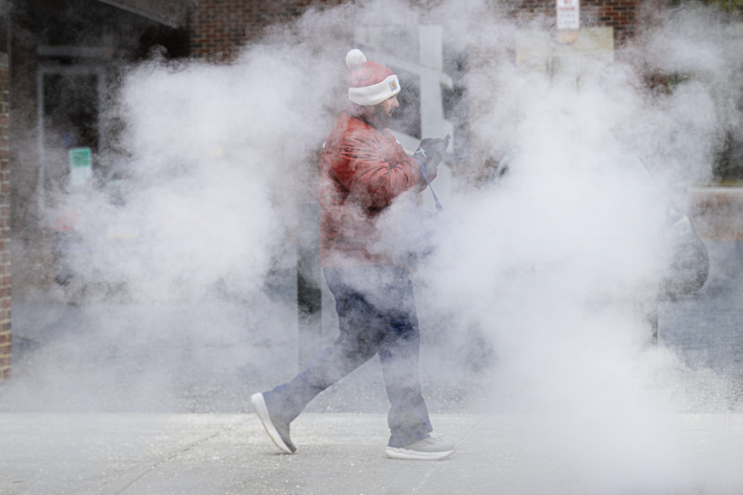
    A pedestrian walks through a cloud of steam on a cold winter day in West Philadelphia, Friday, Dec. 26, 2025, as snow and a wintry mix are forecast for the area through Saturday morning.
  • New storm hitting waterlogged Southern California could cause more flooding and mudslides

    New storm hitting waterlogged Southern California could cause more flooding and mudslides

    WRIGHTWOOD, Calif. — Another powerful storm system threatening to soak Southern California with its wettest Christmas in years rolled into the region on Thursday, bringing the potential for more flooding and mudslides a day after heavy rain and gusty winds were blamed for at least two deaths.

    Forecasters warned the additional rain could increase the risk of debris flows in waterlogged areas scorched by wildfires in January. Those burn scar zones have been stripped of vegetation by fire and are less able to absorb water.

    Outside of California, a major storm system was moving toward the Midwest and Northeast and was expected to interfere with travel, according to the National Weather Service.

    A mix of freezing rain and sleet could create icy conditions across much of Pennsylvania and parts of Michigan and Maryland. Forecasters warned significant ice accumulation on tree limbs and power lines could cause outages. Heavy snow was expected to blanket the Northeast early Friday.

    The San Bernardino County Sheriff’s Department in Southern California issued an evacuation warning for Wrightwood, a mountain town about 80 miles northeast of Los Angeles, due to a risk of mudslides.

    County firefighters on Wednesday said they rescued people trapped in cars when mud and debris rushed down a road leading into Wrightwood. It was not immediately clear how many people were rescued.

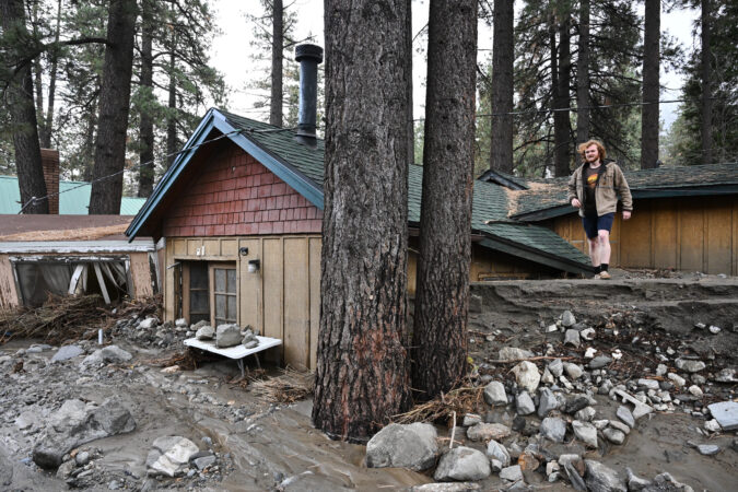
    Roads in the town of about 5,000 people were covered in rocks, debris, and thick mud on Thursday. With power out, a local gas station and coffee shop running on generators were serving as hubs for residents and visitors. Statewide, more than 80,000 people were without power Thursday evening, according to PowerOutage.us.

    “It’s really a crazy Christmas,” said Jill Jenkins, who was spending the holiday with her 13-year-old grandson, Hunter Lopiccolo.

    Lopiccolo said the family had almost fled the previous day, when water washed away a chunk of their backyard. But they eventually decided to stay and still celebrated the holiday. Lopiccolo got a new snowboard and e-bike.

    “We just played card games all night with candles and flashlights,” he said.

    Resident Arlene Corte said roads in town turned into rivers, but her house was not damaged.

    “It could be a whole lot worse,” she said. “We’re here talking.”

    With more rain on the way, more than 150 firefighters were stationed in the area, said San Bernardino County Fire spokesperson Shawn Millerick.

    “We’re ready,” he said. “It’s all hands on deck at this point.”

    Deaths and heavy rain

    A falling tree killed a San Diego man Wednesday, news outlets reported. Farther north, a Sacramento sheriff’s deputy died in what appeared to be a weather-related crash.

    Residents around burn scar zones from the Airport Fire in Orange County were under evacuation orders.

    Areas along the coast, including Malibu, were under a flood watch until Friday afternoon, and wind and flood advisories were issued for much of the Sacramento Valley and the San Francisco Bay Area.

    The storms were the result of multiple atmospheric rivers carrying massive plumes of moisture from the tropics during one of the busiest travel weeks of the year.

    Southern California typically gets half an inch to 1 inch of rain this time of year, but this week many areas could see between 4 and 8 inches with even more in the mountains, National Weather Service meteorologist Mike Wofford said.

    Snow at higher elevations

    More heavy snow was expected in the Sierra Nevada, where wind gusts created “near white-out conditions” in places and made mountain pass travel treacherous. Officials said there was a “high” avalanche risk around Lake Tahoe and a winter storm warning was in effect through Friday.

    Ski resorts around Lake Tahoe recorded about 1 to 3 feet of snow overnight, said Tyler Salas, a National Weather Service meteorologist in Reno, Nev. Forecasters expect to see up to another 3 feet of snow through Friday, Salas said. The area could see 45 mph gusts of wind in low elevation areas and 100 mph winds along mountain ridges.

    Gov. Gavin Newsom declared a state of emergency in six counties to allow state assistance in storm response.

    The state deployed emergency resources and first responders to several coastal and Southern California counties, and the California National Guard was on standby.

  • Philly region is expected to get snow, sleet, and freezing rain on Friday and Saturday

    Philly region is expected to get snow, sleet, and freezing rain on Friday and Saturday

    The sunshine and relatively mild weather on Christmas in the Philadelphia region and South Jersey will likely be long gone by Friday afternoon, the National Weather Service said in its forecast on Thursday.

    Snow, likely no more than 1 or 2 inches, is expected to accumulate between 1 p.m. and midnight Friday, and become mixed with sleet and freezing rain after 4 p.m. New snow and sleet of 2 to 4 inches is possible between 1 and 4 a.m. on Saturday, forecasters said.

    “The heaviest precipitation will be the late afternoon on Friday, and it will start to wind down on Saturday,” said Nick Guzzo, meteorologist with the National Weather Service in Mount Holly.

    Temperatures are expected to range from the high 20s to low 30s both days. A mild wind of 5 to 10 mph is also expected.

    Due to the forecast, PennDot is urging drivers to avoid unnecessary travel. The agency expects vehicle restrictions to begin at 10 a.m. Friday on all interstate highways, banning school buses, commercial buses, motor coaches, motorcycles, and many types of commercial vehicles from the roads.

    Speed limits will be restricted to 45 mph. Updates will be available on the 511PA traveler information website.

    Friday could be the second measurable snowfall of the season so far. A storm that swept across the Philadelphia region on Dec. 14 left 4.2 inches of snow at Philadelphia International Airport. Some suburban communities in Bucks and Chester Counties reported more than 8 inches.

    Flying out of PHL and want to know how things are looking at the airport? Check out The Inquirer’s end-of-year PHL tracker to check for delays and cancellations.

  • White Christmas in Philly? Probably not. But snow is expected Friday.

    White Christmas in Philly? Probably not. But snow is expected Friday.

    Philadelphia is unlikely to have a white Christmas, but snow is on the horizon for the weekend.

    The National Weather Service on Wednesday afternoon issued a winter storm watch for much for eastern Pennsylvania and New Jersey. The watch will be in effect from Friday afternoon through Saturday morning.

    From Friday into Friday evening, forecasters are “near 100% confident” that most of the Philly area will get some form of winter precipitation, according to the National Weather Service. But exactly what type of precipitation, how much, and the precise timing remains uncertain.

    “We’re likely going to see an impactful winter storm,” said Eric Hoeflich, meteorologist with the National Weather Service in Mount Holly.

    Philadelphia may get between 1 and 4 inches of snow Friday into the night, according to the National Weather Service. Light precipitation could linger into Saturday morning.

    Forecasters expect between 1 and 3 inches of precipitation in northern Delaware, far southern New Jersey, and Southeastern Pennsylvania. Eastern Pennsylvania and much of New Jersey may see 4 to 7 inches. Actual precipitation totals and types, however, may vary. Some areas could get snow, sleet, freezing rain, or plain rain depending on temperatures and timing.

    Ahead of the expected weekend storm, Philadelphians are unlikely to be greeted with snow-dusted streets on Christmas morning.

    After sun and high temperatures in the 40s on Wednesday, Christmas Day may also bring above-average temperatures, with highs forecast in the mid-40s and a potential for light showers in the morning.

    It will be “not great weather, but not bad either for late December,” according to forecasts from the National Weather Service.

    Friday’s winter weather event would mark the second measurable snowfall of the season in Philly. The snowstorm that swept across the Philadelphia region on Dec. 14 dumped 4.2 inches of snow at Philadelphia International Airport. Some suburban communities in Bucks and Chester Counties recorded over 8 inches.

    If you’re planning to travel on Friday evening, expect impacts to your plans, as roads may get snowy and icy.

    Flying out of PHL and want to know how things are looking at the airport? Check out The Inquirer’s end-of-year PHL tracker to see how delays and cancellations are stacking up.

  • Traveling this holiday? Here’s the weather and travel forecast for the week.

    Traveling this holiday? Here’s the weather and travel forecast for the week.

    Philadelphia might have mild weather this holiday week, with light rain showers and likely no snow on Christmas. However, more people will be on the roads and in the sky, traveling to holiday destinations, than in recent years.

    Holiday weather should be much milder this week, despite earlier forecasts calling for snow Monday evening, said Ray Martin, a meteorologist at the National Weather Service in Mount Holly. Monday and Tuesday have a chance for light rain showers, and if temperatures drop, maybe snow, but there should be little to no snow accumulation.

    Christmas Eve and Christmas Day in the Northeast will be warmer, drier days for travel, according to AccuWeather. Millions across the South and Midwest will experience the warmest holiday on record, though.

    Whether it’s the expected good weather or people getting their post-COVID travel confidence back, roads and airports are expected to be packed this week, according to data from Philadelphia International Airport and INRIX, a national travel analytics firm.

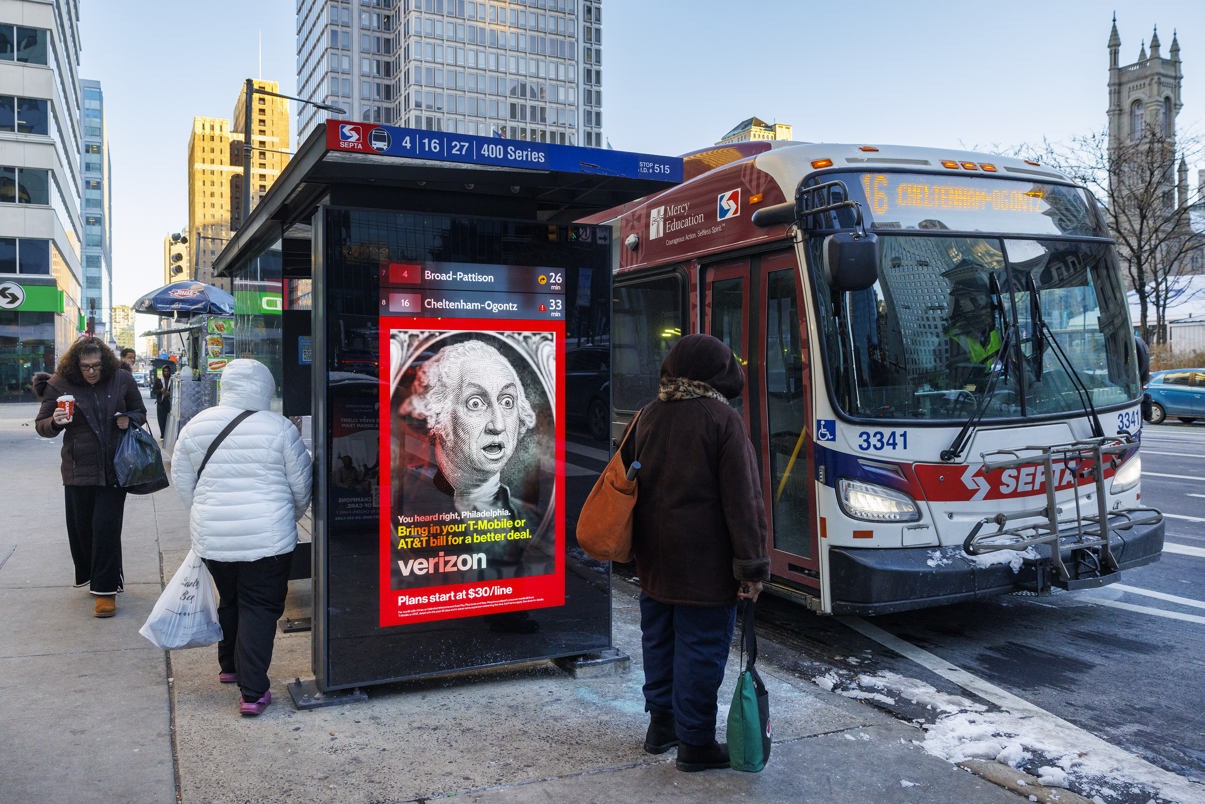
    Winter coats are out on a cold morning at a bus stop at 15th and Market Streets on Dec. 15.

    Holiday weather this week in Philadelphia

    While no snow will likely fall on Christmas Eve or Christmas Day in the Philadelphia region, Tuesday and Friday have chances for precipitation that could bring rain and ice to Philadelphia, and possibly snow north of the city, said AccuWeather senior meteorologist Tyler Roys.

    • Monday: The best weather this week. Warmer, drier, and less windy.
    • Tuesday: Rain showers in Philadelphia during the morning commute, but no snow. Possible rain, sleet, or snow in Montgomery and Bucks Counties. Lehigh Valley could receive an inch or more of snow.
    • Wednesday: No precipitation, but expect wind gusts up to 30 mph. The evening is expected to bring lots of cloud coverage. “Rudolph will definitely need his red nose out and about,” Roys said.
    • Thursday: Misty weather or light rain scattered across the region throughout the day.
    • Friday: Stormy weather with precipitation. Philadelphia has a chance for rain and possible ice, but Upper Bucks County and the Lehigh Valley could get snow.
    • The weekend: On Saturday and Sunday temperatures are forecast to range from the mid-30s to 50 degrees, with a slight wind. Rain is possible Sunday.
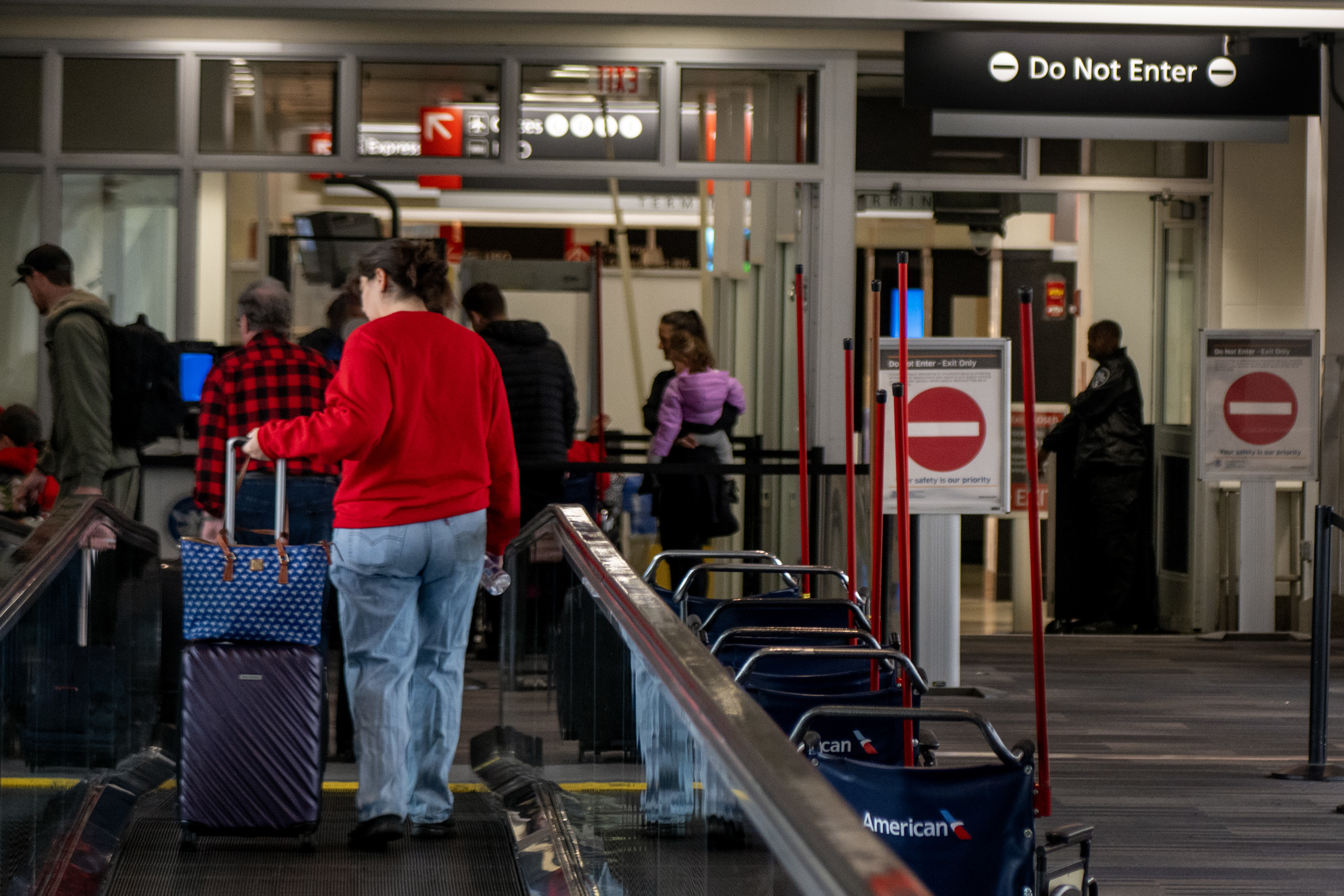
    The scene at the TSA checkpoint line in Terminal B at Philadelphia International Airport on Nov. 9.

    Holiday travel in the Philadelphia region

    Expect longer travel times this year as more people hit the road and sky to get to their holiday destinations.

    Airports and flying

    Philadelphia International Airport will see a 5% increase in the number of travelers this week compared to the same period last year, with more than 1 million people expected to come through the airport from Wednesday to Sunday, Jan. 4.

    PHL’s heaviest traveling days:

    1. Friday, Dec. 26: 94,028 expected passengers
    2. Monday, Dec. 29: 93,096 expected passengers
    3. Saturday, Dec. 27: 92,954 expected passengers

    Travelers should arrive two hours before their flight to ensure they get to their gate on time, said Heather Redfern, an airport spokesperson. PHL also has an online travel tips guide for more guidance on easier travel.

    The Inquirer operates a year-end PHL tracker for up-to-date information on airport delays and airline performance.

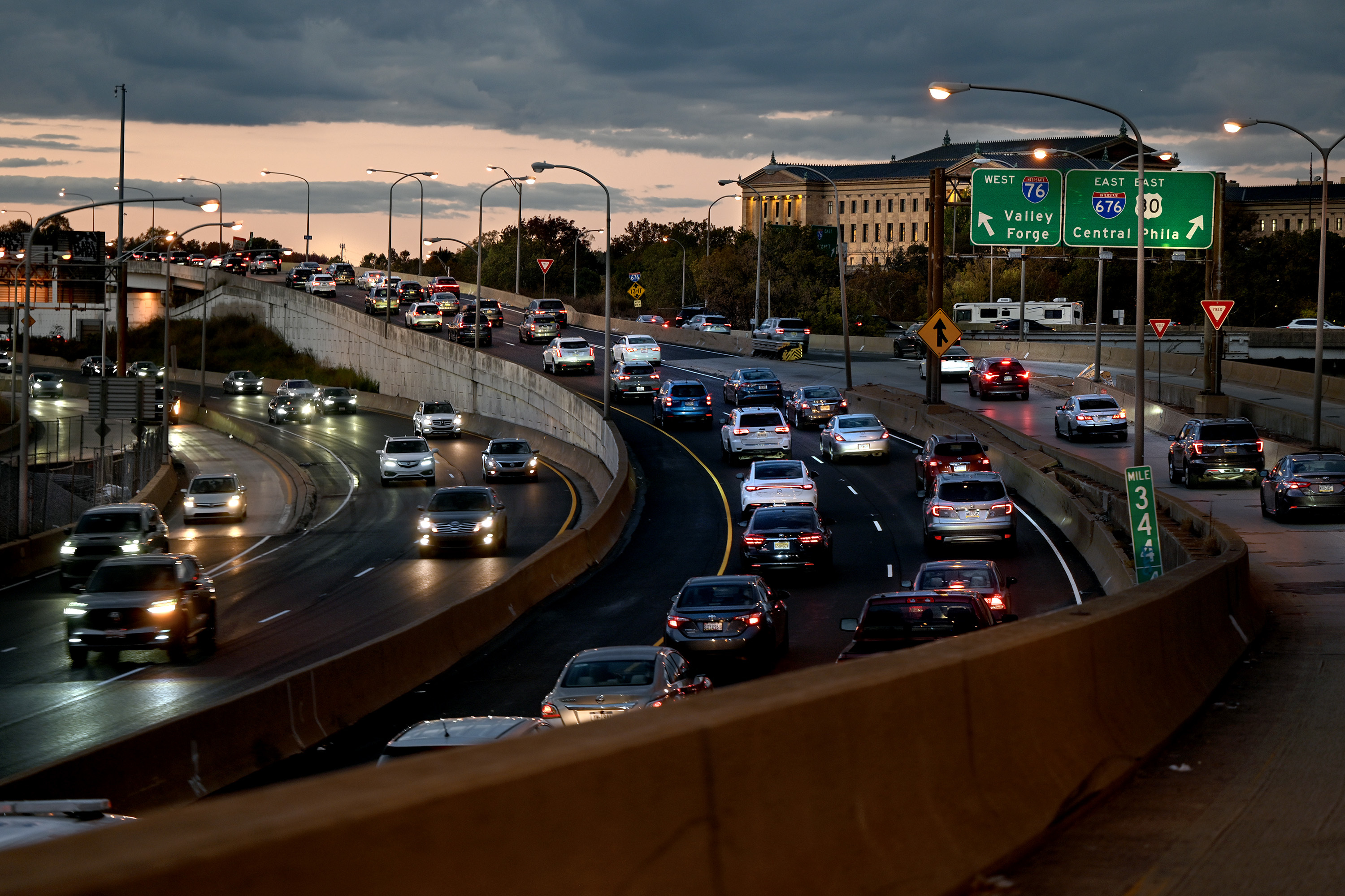
    Traffic on the Schuylkill Expressway on Oct. 26.

    Driving and peak travel times

    A large portion of the holiday travel already occurred this past weekend, but the increased holiday traffic continues.

    Christmas Day, Christmas Eve, and New Year’s Eve historically see lower vehicle traffic as people have reached their holiday destinations, according to INRIX. However, Friday is expected to be busy as travelers make their post-Christmas Day moves. “But, remember, crashes or severe weather could create unexpected delays,“ their year-end report warns.

    Best travel times for driving in Philadelphia

    Most of the traffic congestion this week will come after Christmas Day, with Friday being the busiest, INRIX reports.

    To avoid peak traffic, drivers should steer clear of the roads on Monday and Tuesday, from 1 p.m. to 7 p.m. The best time to travel on those days is before 10 a.m.

    Wednesday, Christmas Eve, and Christmas Day will have minimal traffic impact, according to INRIX.

    The following days will have some of the busiest roads all year: From Friday to Sunday, the worst travel times will be from 11 a.m. to 8 p.m. To avoid congestion, drivers should leave for their destinations before 11 a.m.

  • About that ‘White Christmas’ dream, and other snowy thoughts at the solstice

    About that ‘White Christmas’ dream, and other snowy thoughts at the solstice

    With a predictable precision that may forever elude meteorology, at 10:03 a.m. Philadelphia time Sunday, the sun will beam its most direct light of the year on the Tropic of Capricorn and the astronomical winter will begin in the Northern Hemisphere.

    Sunday indeed is going to be the shortest day of 2025, with just over nine hours and 23 minutes between sunrise and sunset.

    On the bright side for those who have about had their quotas of premature darkness, the day length would be a mere one second shorter than Saturday’s, and on Monday, we gain two more seconds. On the dark side, Sunday’s sunset is a full three minutes earlier than that of Dec. 12. (And don’t ask about sunrise.)

    Plus, in two weeks the night skies will become considerably brighter with the rising of the last of four consecutive “super moons,” which will peak on Jan. 3.

    Whether the brightness would be enhanced by snow cover is another matter: Meteorology has a long way to go to catch up to astronomy in terms of predictability.

    In the early going, Philly is more than halfway to last winter — with 4.2 inches of snow, vs. 8.1 for the entire winter of 2024-25.

    In the short term, this is a peak time for a perennial question.

    Is it going to be a white Christmas?

    “No” almost always is a safe answer in Philly, and all along the Northeast Corridor from Washington to Boston. And “no” it is this year, says Bob Larsen, senior meteorologist at AccuWeather Inc.

    With a white Christmas defined as an inch of snow on the ground at Philadelphia International Airport on Dec. 25, the National Oceanic and Atmospheric Administration officially posts about a 1-in-10 chance that it will happen in any given year in Philly.

    So why the fascination? Blame Irving Berlin, composer of “White Christmas,” and Bing Crosby, who crooned the most famous version, but probably a bigger impetus was the poem “A Visit from St. Nicholas,” published in 1823 and credited to Clement Moore.

    The poem cast Santa Claus as personally delivering gifts via his sleigh. This predated Amazon Prime. That pretty well cemented the Christmas/snow relationship.

    Philly gets most of its major bigger snowstorms from nor’easters, which tap the moisture of the Atlantic Ocean. The onshore winds can also import warm air from the ocean, and this time of year ocean temperatures still are well into the 40s. That’s why snow changes to rain so often around here early in the winter. It takes time for the ocean and the snow-making upper atmosphere to cool, and the snow season peaks in late January into February.

    That doesn’t mean a storm can’t pop before then.

    A very snowy anniversary

    It so happens that next month is the 30th anniversary of Philly’s record 30.7-inch snowfall of Jan. 7-8.

    It was so unbelievable that the record wasn’t verified officially until four years later, after NOAA commissioned a federal investigation. It turned out that the snow was not actually measured, but inferred from the liquid content of the melted snow and the air temperatures.

    The investigators — David Robinson, the Rutgers University professor who is the longtime New Jersey state climatologist and an international snow authority, and Jon Nese, who then was the Franklin Institute meteorologist — affirmed the total.

    They concluded that the snow reports in neighboring towns were close enough to support PHL’s.

    Snow is a weighty matter

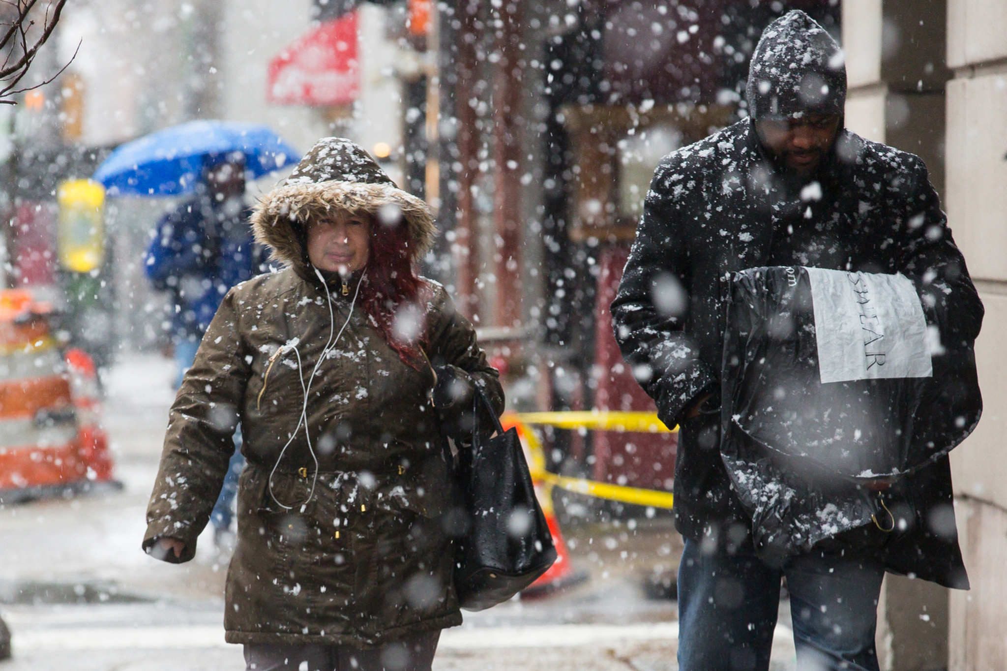
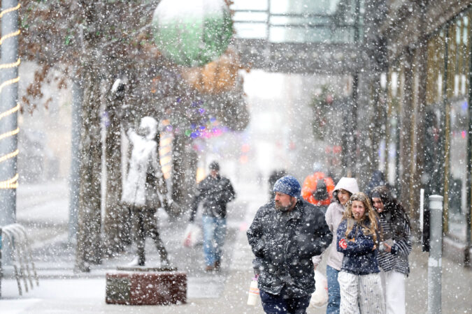
    Large snowflakes fall as pedestrians make their way in Center City. Flakes come various shapes and sizes … and weights.

    In the standard language used by the National Weather Service and commercial outfits, that certainly qualified as a “heavy” snowfall.

    But it was the antithesis of “heavy,” at least in terms of relative weight. Snow comes not only in different shapes, but also in very different weights, depending on the snow-to-liquid ratios. On average around here, an inch of liquid yields about a foot of snow, a 12-1 ratio.

    However, when temperatures are close to freezing as they were last Sunday, the snow has a higher liquid content and is thus heavier. On Sunday, 5 inches may have felt more like 8 to the average shovel. That’s heavy snow.

    When it’s cold, as it was on Jan. 7, 1996 — temperatures were in the teens during the day — the flakes are way drier. The ratio for the storm was closer to 20-1, and overall the flakes were a whole lot lighter.

    “Heavy” snow “applies to visibility ratios,” said Jim Eberwine, longtime meteorologist with the National Weather Service local offices, adding it might be time to reconsider the use of that adjective.

    “Some things should be updated,” he said.

    How about: Snowfall rates can be intense at times?

    Snow: It’s a Northern Hemisphere thing

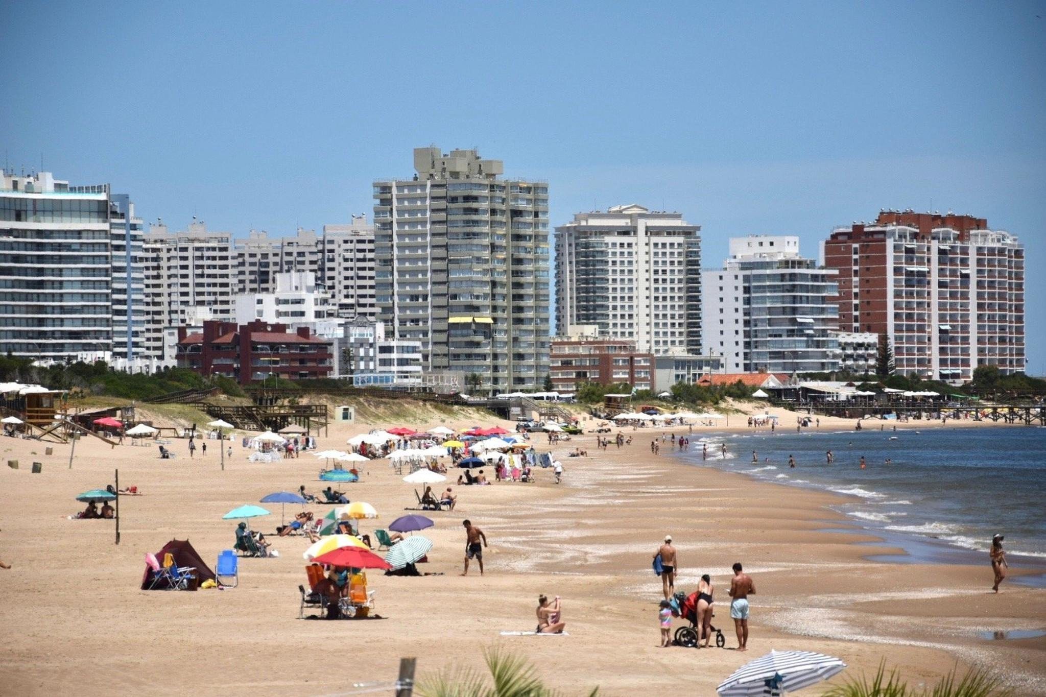
    It’s Janaury in the Miami of South America, Punta del Este, Uruguay. It doesn’t snow much there in their winter either.

    The solstice also marks the beginning of the astronomical summer in the Southern Hemisphere, so residents south of the equator probably won’t be using snowblowers for the next several months.

    In fact, they won’t be seeing a whole lot of snow there during the winter. It snows robustly in the Andes and other mountain regions, but not in major population centers, the AccuWeather people note.

    NOAA’s National Center for Environmental Information doesn’t bother to track snow cover in the Southern Hemisphere, for a couple of reasons, including that it’s 80% covered by climate-moderating water.

    Plus its major cities are located at latitudes where snow is scarce.

    How much for Philly this winter?

    The Butler family finds a (small) hill to sled on in Wallworth Park in Cherry Hill after last Sunday’s snowfall. The 4.2 inches meashred in Philly was more than half of what fell all last winter.

    By contrast, the Northern Hemisphere has a plentiful supply of metropolitan areas that experience ruler-worthy snowfalls, including Philadelphia.

    Making seasonal snow forecasts in this region isn’t quite like picking lottery numbers, but reasonably close. Seasonal totals have varied from 78.7 inches in 2009-10 to nothing in 1972-73. NOAA’s Climate Prediction Center doesn’t touch the stuff.

    The guesses for this year are in, and here is a partial list with what’s out there: The “normal” season total is 23.1 inches.

    Fox29 — 16 inches

    AccuWeather/6abc — 14 to 18 inches

    CBS3 — 18 to 24 inches

    Arcfield Weather — 22 to 26 inches

    WeatherBell Analytics — 22 inches

    One prediction they all have in common: The winter of 2025-26 will out-snow that of 2024-25.

    That won’t be hard.

  • Thousands of households in the Philly suburbs are still without power after Friday’s wind storm

    Thousands of households in the Philly suburbs are still without power after Friday’s wind storm

    Thousands of households in Philadelphia’s collar counties remained without power a day after wind gusts downed trees and caused hundreds of electrical outages throughout the region.

    More than 2,230 customers, mostly in Bucks, Chester, Delaware, and Montgomery Counties, still did not have electric service as of Saturday evening, according to Peco.

    Nearly half the outages were due to fallen trees and branches interfering with electrical systems, Peco spokesperson Tom Brubaker said Saturday afternoon. As a result, suburban counties saw far more outages than Philly, he said.

    Winds registered as high as 62 mph Friday afternoon. Around 7 p.m., a pine tree fell on a Chestnut Hill apartment, CBS3 reported, while in Roxborough, a tree fell on a vehicle, sending two people to the hospital.

    Temperatures plummeted into the 20s Friday night, and, according to Brubaker, about 80,000 homes lost power.

    Crews faced challenges from the weather, with wind gusts frequently topping 40 mph, Brubaker said.

    “When wind gusts are that high, we can’t take our bucket trucks to repair lines,” he said.

    An additional 135 Peco employees from Virginia and North Carolina have traveled to the region to assist in the recovery, Brubaker said.

    He said he expected most of the remaining outages to be resolved by Saturday evening, though “a few rural, isolated customers” may face longer waits.

    A live update of the outages can be found at peco.com/outages/experiencing-an-outage/outage-map.