Category: Weather

  • Soaked ground and 60-mph wind gusts could cause outages and commuting woes around Philly

    Soaked ground and 60-mph wind gusts could cause outages and commuting woes around Philly

    What’s left of the season’s first snowfall is all but gone with the wind — and the heftiest rains since October. And having done its best to disrupt Friday’s morning commute, the weather evidently is executing an afternoon encore.

    After backing off for a few hours, the winds came back with a vengeance Friday afternoon. A thunderstorm gust of 62 mph was recorded at Philadelphia International Airport at 2:35 p.m.

    The weather service’s wind advisory for the entire region remains in effect until 1 a.m. Saturday, and conspiring with snow melt to saturate the soils, SEPTA is particularly concerned about the potential for uprooted trees along its Regional Rail lines, said media relations director Andrew Busch.

    “The recipe for problems is there,” he said. “We will have crews stationed across the system to respond quickly.”

    Peco heard the rumors, and while the utility is “not expecting impacts, we’re going to continue to monitor conditions,“ said Candice Womer, senior communications specialist.

    The deciduous trees are mostly bare, so winds can sail through branches that are not weighed down with leaves, but the weather service advises that “some power outages” are possible.

    About 16,500 outages were reported at midafternoon.

    An additional concern was the predicted wind shift during the day, from southerly in the morning to westerly in the afternoon, and how that might stress vulnerable trees, Womer said.

    The strongest winds will occur during the afternoon

    The gusts are likely to be “widespread” during the afternoon, said Paul Fitzsimmons, a lead meteorologist at the weather service’s Mount Holly office. That would be after the rain-producing front crosses through the region and winds become westerly, peaking in time for the afternoon commute. Gusts to 50 mph are possible.

    Rain totals in the Philly area are expected to be in the 1-to-1.5-inch range, Fitzsimmons said.

    No stream flooding is anticipated, however, as levels are quite low. Despite the snow and a decent soaking on Dec. 2, precipitation the last two months is only about 75% of normal throughout the region, according to the National Oceanic and Atmospheric Administration’s Middle Atlantic River Forecast Center.

    How dry we’ve been

    The gusts aside — not a trivial omission — this system should produce a “beneficial rain,” the weather service notes.

    A drought warning remains in effect for all of New Jersey.

    Water levels are so low that computer models show only about a 10% chance of streams reaching even the preflood “action” phase.

    In the interagency U.S. Drought Monitor map posted Thursday morning, most of Philadelphia, adjacent South Jersey, and Chester County were in the “severe drought” category, along with portions of Bucks, Delaware, and Montgomery Counties.

    Most of Pennsylvania and New Jersey were in at least “abnormally dry” conditions.

    The forecast for the weekend

    After the winds die down Friday evening, the region should be in for a dry but chilly weekend.

    Temperatures during the day Friday are forecast to dive from a high in the 50s in the morning to the 30s by nightfall, and they won’t get out of the 30s on Saturday.

    Sunday’s forecast high in the mid-40s would be close to normal for the date.

    Peeking ahead, the prospects of a white Christmas are not especially promising.

    The region may have to settle for a wet one. Rain is possible Christmas Day with highs in the 40s. That’s not quite what Irving Berlin had in mind.
  • After more icy mornings in the Philly region, the snow may disappear in a hurry Thursday

    After more icy mornings in the Philly region, the snow may disappear in a hurry Thursday

    That icy glaze that has appeared on streets, sidewalks, and driveways this week reappeared Wednesday and will make an encore Thursday morning as water continues to ooze from the snowpack by day and freeze at night.

    So-called black ice — ice that masquerades as harmless wetness — is especially dangerous, officials warn, and conditions are ripe for a harvest, given the generous snowpacks.

    “Refreezing and black ice are definitely a concern,” said PennDOT spokesperson Brad Rudolph. “We will continue to treat areas as needed.”

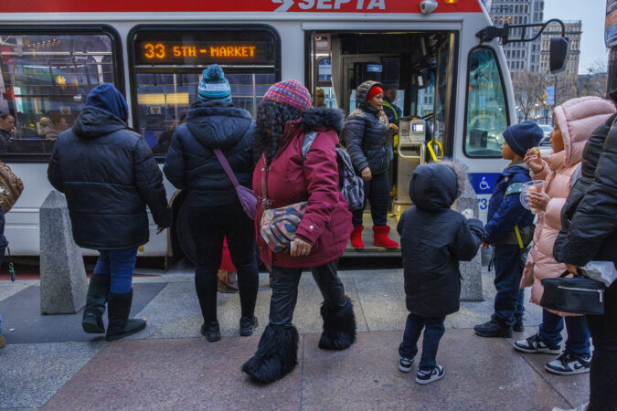
    SEPTA advised commuter to watch out for ice on platforms, walkways, and in parking lots.

    Temperatures early Wednesday fell into the teens throughout the region — save for Philadelphia International Airport where the low was 26 — and on Thursday are due to drop into the 20s region-wide.

    But along with that winter landscape, the atmosphere over the region is going to undergo radical changes by the end of the workweek, forecasters say, with a rapid but short-lived warmup, and something that’s been missing around here lately — a soaking rain.

    As for more snow, the atmospheric scientists are saying it’s probably safe to put away the shovels for a while, and not just in the Philly region.

    “In my opinion, cold looks hard to come by for most of the United States through the remainder of December,” said Amy Butler, research scientist at the NOAA Chemical Sciences Laboratory.

    In short, prepare for a more typical Philadelphia December.

    “With the pattern changing, we’re kind of getting closer to where we should be this time of year,” said Mike Lee, a lead meteorologist at the National Weather Service Office in Mount Holly.

    The forecast for the rest of the week

    Wednesday should be at least partially sunny with some substantial melting as temperatures are due to crack 40 degrees by early afternoon.

    Then after one more overnight with readings dropping into the melt-freezing 20s, Thursday is forecast to become the first day with above-normal temperatures in Philadelphia since the Wednesday before Thanksgiving.

    As temperatures rise through the 40s, several hours of soaking rain are forecast to begin in the early evening with the potential for up to an inch.

    Throughout the region the snowpack contains about a half inch of water that will be heading to local storm sewers and local waterways, said the weather service’s Lee.

    In addition to the rain, the high moisture content of the air is one of nature’s most-efficient snow-removal tools. When warm, moist air comes in contact with snow, it gives off a latent heating effect that accelerates melting.

    “We’ll have to watch for the possibility of some localized flooding,” said Paul Dorian, a meteorologist with Arcfield Weather.

    For now, Lee said, the weather service isn’t contemplating flood advisories. Precipitation the last 90 days has been substantially below normal throughout the region, and a drought warning remains in effect for New Jersey.

    The outlook for the weekend and beyond

    Friday’s forecast high in the mid-50s is likely to occur in the early morning hours, and then temperatures are forecast to crash, with wind gusts to 40 mph possible.

    Saturday is expected to be dry but chilly, with readings in the low 40s, warmer than it’s been but still several degrees below normal, and in the mid-40s Sunday, closer to the long-term averages.

    The polar vortex, the persistent low pressure system that spins around the Arctic and confines the cold air to the ice box of the planet, has been strengthening, said Butler.

    It’s possible that it would undergo “stretching” and allow cold air to sink into parts of the contiguous United States, but “it’s not a signal that is very robust,” she said.

    For now, she said no obvious dominant feature is emerging that would define the winter.

    La Niña conditions continue in the tropical Pacific, where vast expanses of the sea surfaces are about a degree below normal. La Niña can have powerful effects on west-to-east winds that ferry weather to the United States.

    In this case, however, La Niña is currently weak, meaning that its influence over global seasonal patterns is also weak, said Emily Becker, scientist with the University of Miami/Cooperative Institute for Marine & Atmospheric Studies.

    For now, it would be prudent to savor what’s left of the snow cover, and it wouldn’t hurt to spread a little sand or gravel on the driveway or the front steps before going to bed.

  • The snow and ice are sticking around the Philly region after an unusual storm

    The snow and ice are sticking around the Philly region after an unusual storm

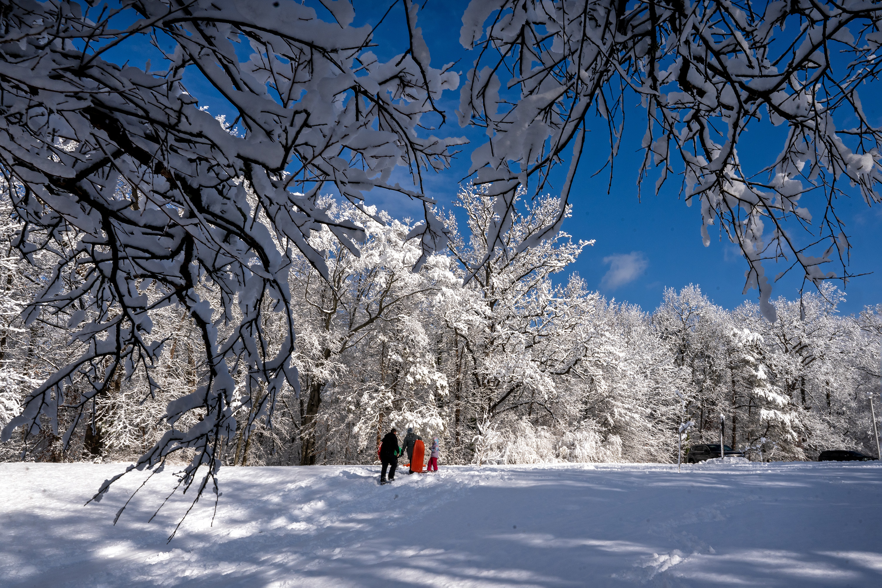
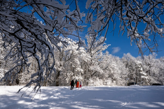
    What have become the glacial remnants of a picturesque and a meteorologically unusual snowfall that tufted the trees and bushes with a cottony whiteness are likely to stay around for a few more days.

    In what has been quite a chilly December, with not a single day of above-normal temperatures, readings tumbled into the teens for the second consecutive morning on Tuesday and not make it out of freezing in the afternoon.

    Expect more ice and stealth “black ice,” re-frozen snow melt that forms on driveways, sidewalks and other surfaces, again Wednesday morning.

    But if you’re getting tired of salting and chipping ice after those overnight freeze-ups, you’re about to get some help.

    A warm-up is forecast to get underway Wednesday, and come Thursday, which is slated to be the warmest day since before Thanksgiving, the atmosphere is expected to train its snow-removal guns on the region.

    Forecasters see a surge of snow-erasing warmth and a significant — and badly needed — rainfall Thursday night that should restore the landscape to a condition more familiar to Philadelphians and ease precipitation deficits.

    As for the prospects of a winter-wonderland encore, nothing is on the horizon in the near term, said Nick Guzzo, meteorologist with the National Weather Service in Mount Holly.

    Said Matt Benz, senior meteorologist with AccuWeather Inc, “For folks looking for more snow, this might have been it.”

    At least for now and perhaps until after Christmas, or later. But, “Winter’s not done yet,” Benz said.

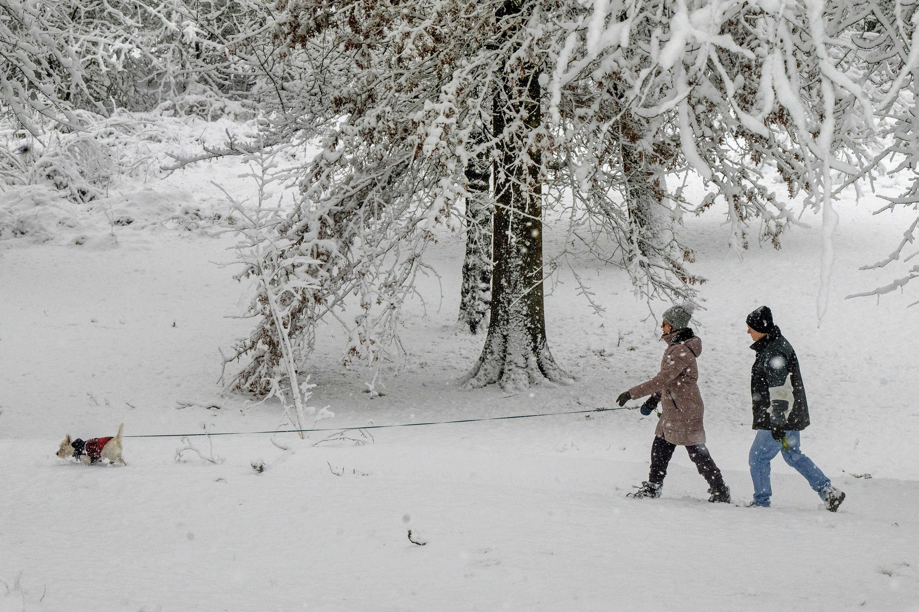
    Willow, a West Highland, is with Amanda and David York on a walk in Maria Barnaby Greenwald Memorial Park in Cherry Hill on Sunday morning.

    The warmup in Philly is expected to be brief

    Temperatures could go as high as 55 degrees Thursday, Benz said. Then after a cold front passes through, temperatures will fall during the day Friday.

    This won’t be an Arctic front like the one that gave Philly its coldest day of the season on Monday, with a high of 28. However, the forecasts call for readings to be no higher than the 30s on Saturday, and mid-40s on Sunday, which is close to the longer-term normal high, followed by several degrees chillier on Monday.

    What’s expected for the next two weeks

    In its updated extended outlooks on Monday, NOAA’s Climate Prediction Center had just about the entire country with above-normal temperatures through Dec. 29, with a notable exception — the Northeast, including Philadelphia.

    Predicted upper-air conditions in the Arctic and the North Atlantic would argue against above-normal temperatures around here during the period, climate center forecaster Thomas Collow said.

    The center wisely eschews the snow-forecasting business.

    Philly just had quite the unusual snow event

    Regardless of what happens the rest of the way, the winter of 2025-26 will be snowier than at least seven others in the period of snow records that date to the winter of 1884-85.

    The 4.2 inches measured officially at Philadelphia International Airport Sunday is a half-inch above the long-term average for the season to date.

    Granted almost any substantial snowfall would seem exceptional these days around here, but this one truly was, said the weather service’s Zach Cooper, a meteorologist in the Mount Holly office.

    Most of Philly’s significant snows are the result of coastal storms that mine moist air from the ocean.

    That wasn’t the case Sunday.

    ”In some ways it was a bit of a unique situation for us, especially to get the amounts that we did,” he said.

    The snow was generated by a weak “clipper system,” a storm that dives out of southwestern Canada and usually has minor impacts around here, and a disturbance in the upper atmosphere.

    Totals generally ranged from 4 to 8 inches across the region. Totals were less around the city in part because temperatures took their good, old time dropping below freezing.

    Marginal temperatures also were a factor in the spread of accumulations. They added some extra weight and heft to the flakes that glommed on the branches and what remains of the foliage with tenacity.

    While the show will have a limited run, the region learned anew that snow and ice may be a pain, but nothing decorates like nature.

  • How much snow fell near you, mapped

    How much snow fell near you, mapped

    The Philadelphia region’s first snowfall of the season ended up having quite a March-like quality.

    Totals generally ranged from 4 to 8 inches, but the snow literally was so heavy that the average shoveler may have had a hard time discerning the difference.

    “When I was shoveling my car out, it felt rough,” said Michael Silva, meteorologist at the National Weather Service Office in Mount Holly. Silva lives in Mount Laurel, where an unofficial 7 inches was reported.

    The snow was so weighty because it had a high liquid content, the result of temperatures close to the freezing mark, as so often happens in March. The borderline temperatures also would help explain the range in accumulations, he said.

    The snow glommed onto the trees, weighing down branches. In fact it took down a branch outside the Mount Holly office that damaged a federal car (sorry, taxpayers).

    The highest amounts, just over 8 inches, were recorded in Chester and Bucks Counties.

    Officially, at Philadelphia International Airport, where temperatures didn’t get below freezing until midmorning Sunday, 4.2 inches was measured.

    By contrast, Boston has measured only 3.1 inches so far.

    Here are the snowfall totals posted by the weather service as of 10 a.m. Monday.

    window.addEventListener(“message”,function(a){if(void 0!==a.data[“datawrapper-height”]){var e=document.querySelectorAll(“iframe”);for(var t in a.data[“datawrapper-height”])for(var r,i=0;r=e[i];i++)if(r.contentWindow===a.source){var d=a.data[“datawrapper-height”][t]+”px”;r.style.height=d}}});

  • These Philly government buildings and services are delayed today due to snowy weather

    These Philly government buildings and services are delayed today due to snowy weather

    Philadelphia’s first measurable snowfall has hit the streets, delaying the city’s opening.

    City of Philadelphia offices delayed their openings until 10 a.m. on Monday, Dec. 15, after a weekend snowfall. Local schools including the Philadelphia School District were also on a two-hour delay.

    All cases and hearings in Philadelphia Courts, both in-person and virtual, scheduled for Monday will be held two hours later than originally scheduled.

    Trash and recycling pickup remain unaffected and operating on their regular schedule.

    Bitter cold temperatures hit the region last night, allowing many of the roads locals use to commute to work to get icy overnight. The region saw snowfall totals ranging from 4.2 inches at the Philadelphia International Airport to 7 or 8 inches in some suburbs, said Alex Staarmann, a meteorologist with the National Weather Service in Mount Holly.

    The Office of Emergency Management urged travelers to use caution on sidewalks and roads. “Cold temperatures can create refreeze and black ice conditions and high wind gusts can cause blowing snow and reduce visibility while driving,” the office said in a statement. Drivers can check road conditions at 511pa.com.

    The Office of Homeless Services has declared an “Enhanced Cold Blue,” opening warming centers for anyone to visit. Extra outreach teams will engage with people they see living or sleeping outdoors. Find a warming center using the city’s online map tool.

    Severe cold can negatively impact your health and home. The Office of Emergency Management has shared an online guide on bracing for the cold weather and protecting your household.

  • Philly region’s first big snowfall of the season will be followed by bitter cold temperatures

    Philly region’s first big snowfall of the season will be followed by bitter cold temperatures

    Philadelphians awoke to the first significant snowfall of the season on Sunday, with 3 to 7 inches of snow blanketing the area.

    And although the worst of the snow was over, high winds and increasingly dangerous icy conditions will be moving in, forecasters said.

    While temperatures were in the upper 20s on Sunday afternoon, they’ll be very different when commuters set out on Monday morning.

    “We are expecting a pretty strong blast of Arctic air moving in,” leaving temperatures in the mid-teens, said Alex Staarmann, a meteorologist with the National Weather Service in Mount Holly.

    With snow on the ground and temperatures below freezing, Philadelphia schools will be opening two hours late Monday.

    Archdiocesan high schools and parish and regional Catholic elementary schools in the city will also operate on a two-hour delay. (Catholic schools in suburban counties generally follow their local districts’ lead.)

    “The safety and well-being of our students are our top priorities,” Superintendent Tony B. Watlington Sr. said in a message to district families. “We are encouraging students, families and staff to travel safely tomorrow morning.”

    Students who arrive late because of weather challenges won’t be marked late, and weather-related absences will be excused if a parent or guardian sends a note.

    While some plowed streets and shoveled sidewalks may have been cleared by Sunday afternoon, cold winds Sunday night into Monday morning may blow a thin layer of snow back onto roads, Staarmann said.

    Winds are forecast to pick up, from 10 to 20 mph, with gusts up to 35, he said. That could make for dangerous conditions.

    “If there’s any slush or snow melt on the roads or pavement from today, it certainly could refreeze if it’s not treated,” he said.

    Totals for the storm, which hit the area around 11 p.m. Saturday, slightly exceeded earlier forecasts of 3 to 5 inches. Areas north of the city, like Doylestown and the Trenton airport, saw closer to 7 inches.

    “This snow is generally a wetter snow,” Tyler Roys, senior meteorologist at AccuWeather, said. “It’s heavier to move. It’s not easy as if it were fluffy snow. This one is going to take a little work.”

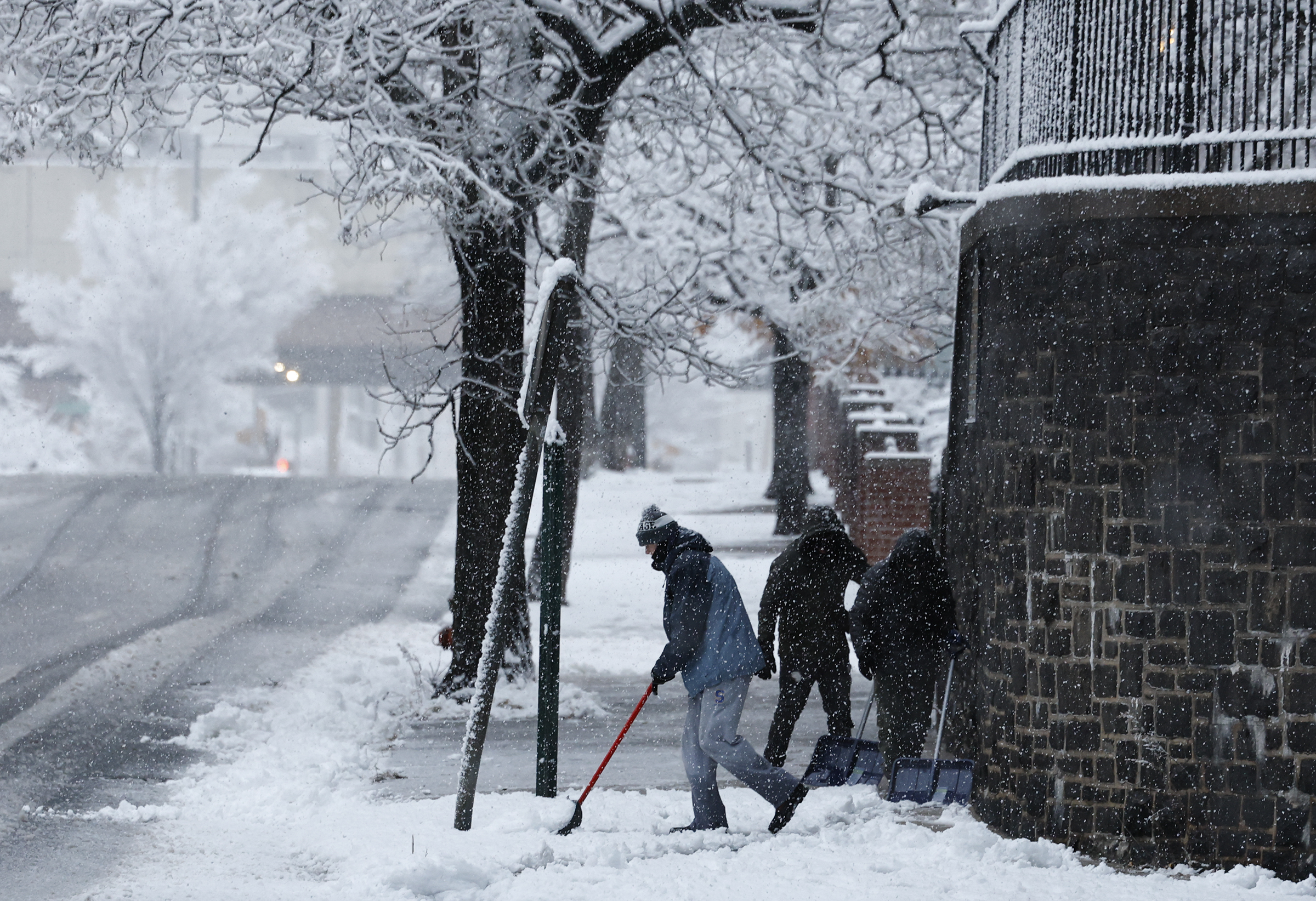
    Workers clear snow from sidewalks in the Old City neighborhood on Sunday, Dec. 14, 2025.

    Colder air will follow on the heels of the snow system, with Monday morning temperatures hovering in the teens.

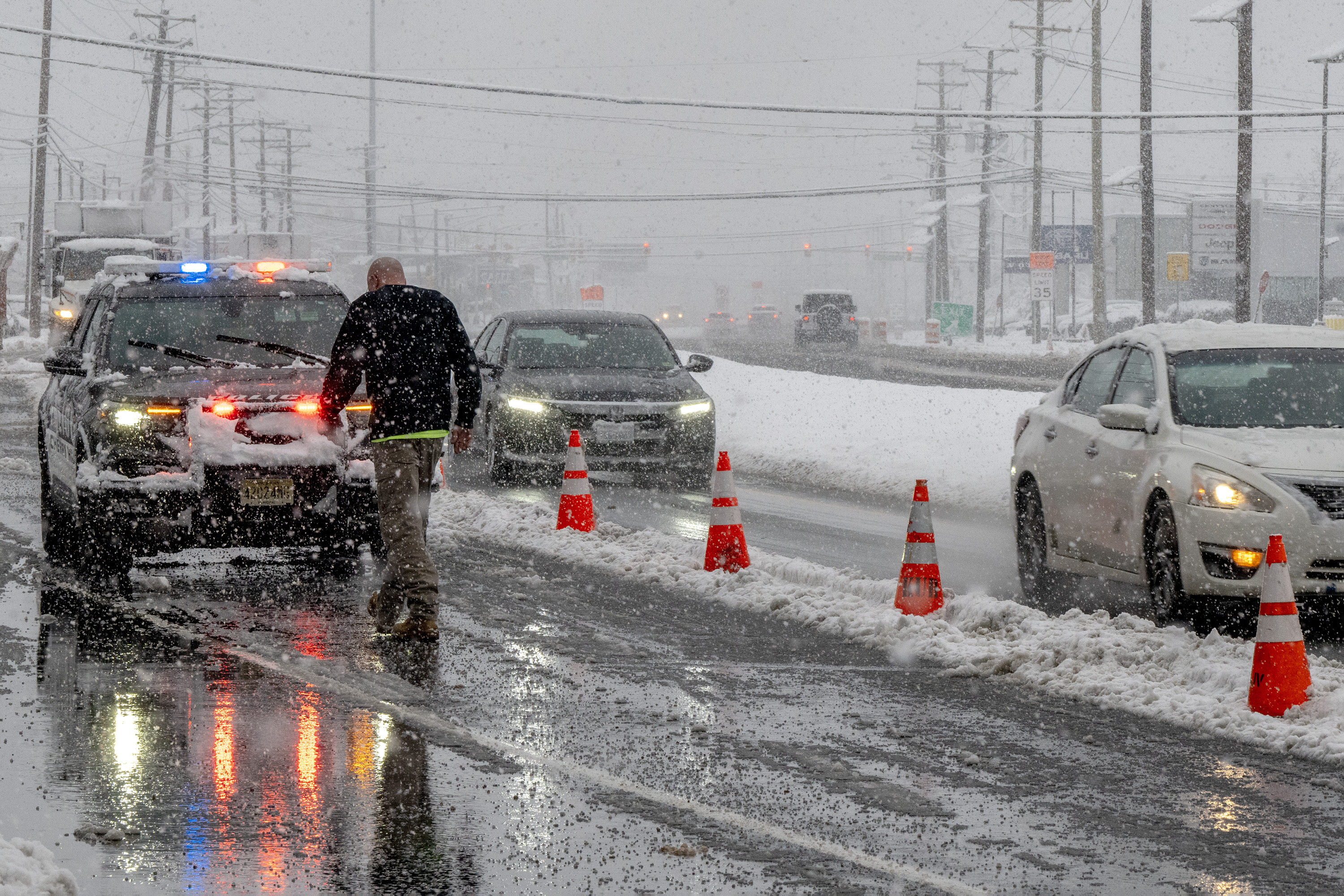
    An early morning accident and a downed utility pole had eastbound traffic on Rt. 70 in Cherry Hill down to one lane Sunday morning, Dec. 14, 2025, during the first significant snowfall of the season with 3 to 7 inches of snow blanketing the area

    Icing will be an issue until temps rise later in the week.

    At the height of the storm, more than 26,000 Peco customers experienced outages across the region, said spokesperson Matt Rankin.

    By late Sunday afternoon, around 3,000 customers remained without power. Crews were out working to get power restored to customers as quickly and safely as possible, Rankin added.

    SEPTA spokesperson Andrew Busch said crews would be monitoring for icy or dangerous conditions as the temperatures fall.

    Eagles fans traveling on the Broad Street Line reported some significant delays shortly before kickoff, with at least one train reportedly stalled for 15 minutes near the Walnut-Locust station, passengers said. Busch said the temporary slowdown and crowding had been due to a train being pulled out of service near Erie Avenue, but that the situation had been resolved.

    At the stadium, tailgaters were not deterred by the snowy conditions.

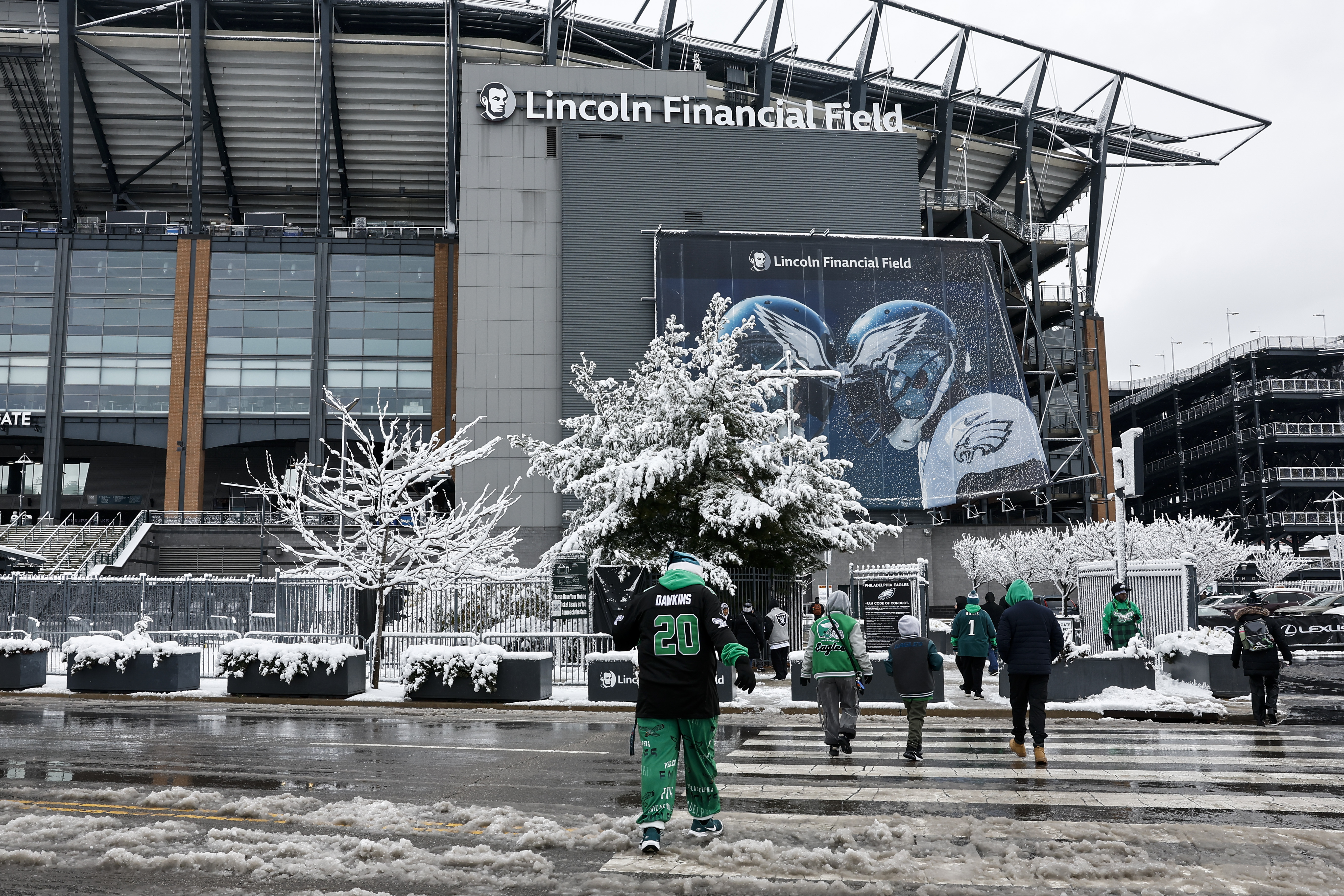
    Fans make their way into the stadium before the Philadelphia Eagles game against the Las Vegas Raiders at Lincoln Financial Field on Sunday, Dec. 14, 2025 in Philadelphia.

    “It’s been great,” said Jim Carroll, of Warren County, N.J., sipping a pregame beer in the parking lot outside the Linc with friend Jim Singer. “Brutally cold, but setting up for a big Eagles victory so it’s all good.”

    It was still snowing when Robert Rodriguez and Victor Sierra of Burlington County, and their family members, arrived hours before game time.

    Sure it was cold, said Rodriguez, a season ticket holder for over 25 years. But he wouldn’t miss for it any amount of snow.

    “The beauty of it’s perfect,” he said, nodding toward the snow-capped stadium in the distance.

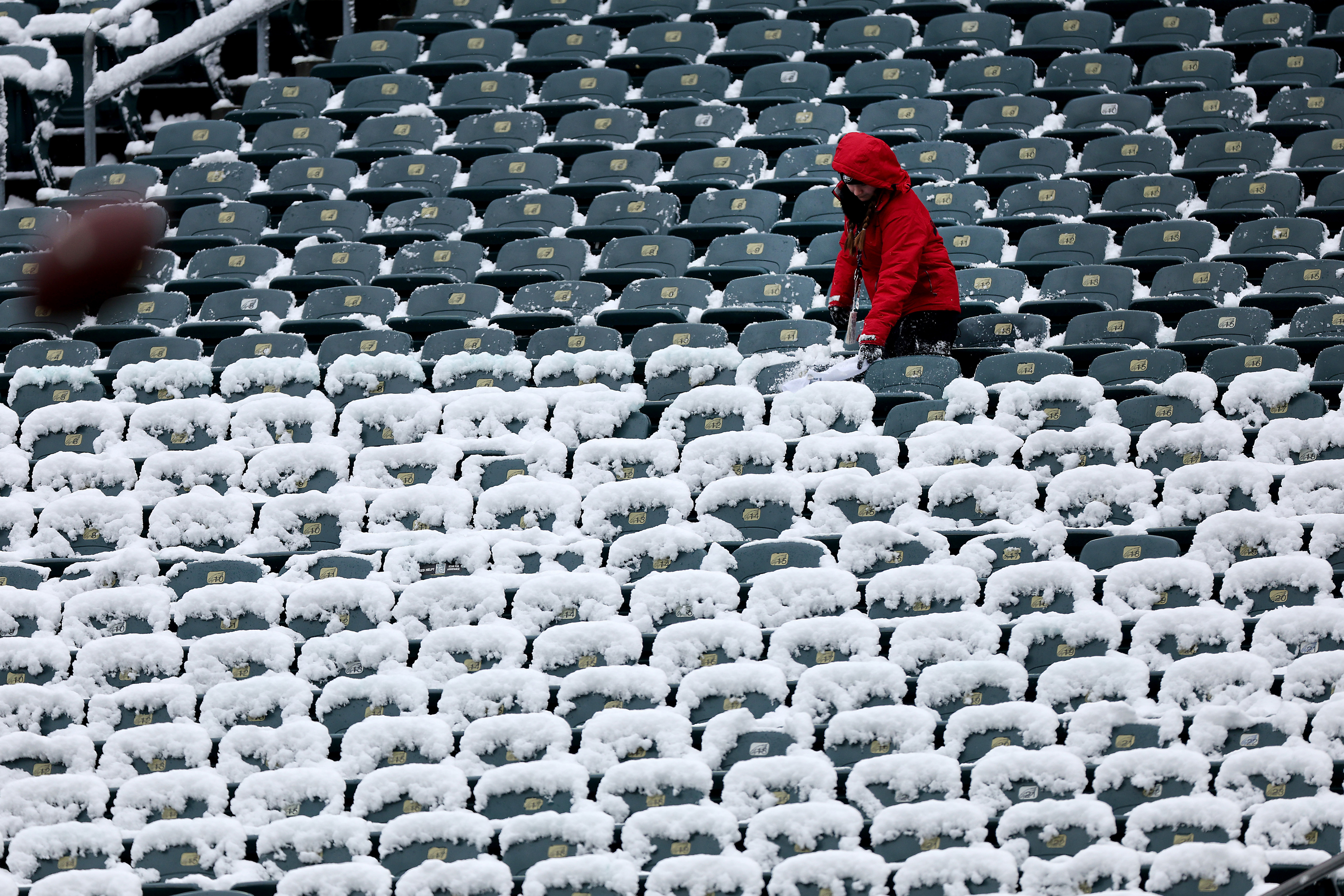
    An usher clears snow from the seats before the Philadelphia Eagles play the Las Vegas Raiders at Lincoln Financial Field in Philadelphia, on Sunday, Dec. 14, 2025.

    Philadelphia International Airport was experiencing heavy delays with the effects of the storm, with over 182 flights delayed and 17 cancellations, said airport spokesperson Heather Redfern.

    With planes being deiced for takeoff, departing flights were experiencing delays of about 38 minutes, Redfern said.

    The airport briefly halted ground traffic earlier Sunday morning, as crews tended to icy conditions.

    Monday afternoon is forecast to be warmer but still below freezing, with temperatures in the mid to high 20s.

    Without much snow melt by Tuesday morning, dropping overnight temperatures could mean more trouble for some commuters for a second day.

    “That could still produce some spotty black ice or refreezing of snow melt,” Staarmann said.

    Higher temperatures on Wednesday should help remaining ice and snow to melt.. But AccuWeather senior meteorologist Chad Merrill said changing weather conditions later in the week could pose a problem for some regional commuters: A new front may bring rain Thursday night into Friday morning.

    “Sometimes when you have this Arctic air mass that lingers, even though the temperatures are going to warm up this week, the ground is still very cold,” Merrill said.

    That’s a recipe for a different challenge.

    “So, there is some potential that when this front comes through Thursday night and Friday morning, that there could be some limited visibility due to fog,” Merrill said.

    Mike and Alexis Butler with children John, 8, and Julie, 6, find a small hill to sled on in Wallworth Park in Cherry Hill after the sun came out Sunday afternoon.
  • Snow is a near certainty in Philly this weekend, and it won’t melt quickly

    Snow is a near certainty in Philly this weekend, and it won’t melt quickly

    The first measurable snowfall of the winter of 2025-26 evidently is all but a done deal for Philly this weekend, and it has a chance to be the biggest in two winters — not that the bar is ultra-high in a period when snow has been mightily lacking.

    The National Weather Service has issued a winter storm warning for 3 to 5 inches of snow across the region, with a near 100% likelihood of at least an inch of snow.

    That was in line with the AccuWeather Inc. outlook.

    The weather service has a 76% chance of at least 4 inches and 43% of 6 or more.

    With the caveat that timing and duration of precipitation aren’t in the wheelhouse of atmospheric science, the weather service is expecting snow or snow mixed with rain to start late Saturday night.

    If it’s a mix at the outset it would quickly become all snow as temperatures fall below freezing, and continue into midmorning.

    The snow would be generated primarily by an upper-air disturbance, said Matt Benz, senior meteorologist for AccuWeather. It’s possible that the storm may regroup off the coast, however, that “probably will form too late to have any impact.”

    In a forecast discussion, the weather service said inch-an-hour snowfall rates are possible early Sunday.

    “There is a potential for a concentrated area of 4-5 inches of snowfall somewhere near the I-95 corridor and immediately south and east,” the forecasters said.

    They noted a 20% to 30% chance that some places get over 5 inches.

    And the snow is likely to stick around until at least midweek, with high temperatures Sunday, Monday, and Tuesday expected to be around freezing or lower and the sun angles about as low as they get.

    After that February storm, the temperature climbed to near 50 a day later, and the strengthening sun made quick work of the snow cover.

    That February snow turned out to be the biggest of a season in which the 8.1-inch total at Philadelphia International Airport barely bested the 8 inches of New Orleans. That winter, the I-95 corridor found itself in a snow hole, and Philly a snow hole within a snow hole. The highest total in the winter of 2023-24 was 4.6 inches during a snowy January week.

    Snow fell to the north, west, and south, and that trend has continued in the early going. With 6 inches so far this winter, Richmond, Va., now has measured 22.8 inches since last December, nearly triple the Philly total.

    Official totals at Philadelphia International Airport have been less than half of normal for four consecutive winters. The normal for a season is 23.2 inches.

    The meteorological winter, which began Dec. 1, certainly is off to a wintry start, with temperatures averaging more than 6 degrees below normal.

    It is not off to a particularly wet start, however, and whatever falls this weekend isn’t expected to exceed a half inch of liquid.

    In its long-term outlooks through Dec. 26, NOAA’s Climate Prediction Center is on the fence regarding whether precipitation will be above or below normal.

    With high confidence it is calling for a national warm-up.

    In any given year, the odds are greatly against Christmas snow in Philly or elsewhere along the I-95 corridor.

    But it does look like the region is about get a white Sunday.

  • Snow, up to 5 inches, is a near certainty in Philly this weekend, and it won’t melt quickly

    Snow, up to 5 inches, is a near certainty in Philly this weekend, and it won’t melt quickly

    The first measurable snowfall of the winter of 2025-26 evidently is all but a done deal for Philly this weekend, and it has a chance to be the biggest in five winters — not that the bar is ultra-high in a period when snow has been mightily lacking.

    The National Weather Service Saturday has issued a winter storm warning for 3 to 5 inches throughout the region, listing a 98% likelihood of at least an inch.

    The AccuWeather Inc. forecast was similar.

    The weather service foresaw a 76% chance of 4 inches in the immediate Philly area, and a 43% chance of 6 or more.

    With the caveat that timing and duration of precipitation aren’t in the wheelhouse of atmospheric science, the weather service is expecting snow or snow mixed with rain to start late Saturday night.

    If it’s a mix at the outset it would quickly become all snow as temperatures fall below freezing, and end around daybreak. As the weather service pointed out, the timing couldn’t be much better for minimizing disruption.

    However, snow showers and wind chills in the teens are expected when the Eagles host the Oakland Raiders in South Philly.

    The accumulating snow would be generated primarily by an upper-air disturbance, said Matt Benz, senior meteorologist with AccuWeather. It’s possible that the storm may regroup off the coast; however, that “probably will form too late to have any impact,” Benz said.

    The weather service said inch-an-hour snowfall rates are possible in the early morning hours of Sunday.

    And the snow is likely to stick around until at least midweek, with high temperatures Sunday, Monday, and Tuesday expected to be around freezing or lower and the sun angles about as low as they get.

    After a 3.1-inch snowfall in February, the temperature climbed to near 50 a day later, and the strengthening sun made quick work of the snow cover.

    That February snow turned out to be the biggest of a season in which the 8.1-inch total at Philadelphia International Airport barely bested the 8 inches of New Orleans. That winter, the I-95 corridor found itself in a snow hole, and Philly a snow hole within a snow hole. The highest total in the winter of 2023-24 was 4.6 inches during a snowy January week.

    Last season, snow fell to the north, west, and south, and that trend has continued in the early going. With 6 inches so far this winter, Richmond, Va., now has measured 22.8 inches since last December, nearly triple the Philly total.

    Official totals at Philadelphia International Airport have been significantly below normal for four consecutive winters. The normal for a season is 23.1 inches.

    The meteorological winter, which began Dec. 1, certainly is off to a wintry start, with temperatures averaging more than 6 degrees below normal.

    It is not off to a particularly wet start, however, and whatever falls this weekend isn’t expected to exceed a half inch of liquid.

    In its long-term outlooks through Dec. 26, NOAA’s Climate Prediction Center is on the fence regarding whether precipitation will be above or below normal.

    With high confidence it is calling for a national warm-up.

    In any given year, the odds are greatly against Christmas snow in Philly or elsewhere along the I-95 corridor.

    But it does look like the region is about to get a white Sunday.

  • 2 to 4 inches of snow expected this weekend in the Philly region

    2 to 4 inches of snow expected this weekend in the Philly region

    The odds are almost always stacked against a white Christmas around here, but it is looks like the region will experience a white Dec. 14.

    The National Weather Service on Friday said Philadelphia was all but certain to get at least an inch of snow during the weekend, with a general 2 to 4 inches expected, said Joe DeSilva, a meteorologist in the Mount Holly office.

    The weather service issued a winter-weather advisory for the entire region from 7 p.m. Saturday through 1 p.m. Sunday.

    A storm forming along an Arctic front combined with a strung idsturbance in the upper atmosphere were forecast to begin shaking out snowflakes very late Saturday night or early Sunday. It’s possible that the snow may be mixed with rain, at least at the outset, especially south and east of the city.

    And while this may be shocking, computer models continue to tweak outcomes, leaving “still a little bit of uncertainty how this low is going to track,” said DeSilva’s colleague Eric Hoeflich.

    However, recent model runs overall have been a shade more bullish on snow amounts than they had been, and the U.S. model has bumped up amounts slightly, said DeSilva.

    Timing and duration issues remained to be resolved, and snow could cause commuting issues in the morning. In addition to church-goers, tail-gaters will be commuting commuting to the Eagles game at Lincoln Financial Field in South Philly, and supermarkets typically experience brisk traffic in the run-up to Eagles’s games.

    The snow, however, is forecast to end well before kickoff at the Linc, scheduled for 1:15 p.m., DeSilva said.

    Some flakes were evident Thursday in the region, with Philadelphia International Airport, where winds gusted past 30 mph, reporting its third “trace” of the season.

    The renegade flakes were flying from lake-effect snows, said Bill Deger, senior meteorologist with AccuWeather Inc.

    The winds have shut off, and both Friday and Saturday were expected to be tranquil with daytime temperatures mostly in the 30s.

    And this time, that holiday least-favorite, the “wintry mix,” wouldn’t be in the mix.

    How much snow for Philly?

    AccuWeather Inc. was calling for up to 3 inches.

    If the storm is a quick mover, expect the inch, but if slows down and ripens a bit, it could be as much as 3, said AccuWeather senior meteorologist Bill Deger.

    The weather service was pretty much on board with that estimate.

    It painted 3 nches for Philly on its Friday morning snow map.

    One near-certainty: This will change.

    What time would the snow start?

    It is likely to begin very late Saturday night or very early Sunday and continue until mid- or late morning, forecasters say.

    Temperatures throughout the day are not expected to get past 30, with wind chills in the teens.

    It might feel even colder if the Eagles lose to the lowly Las Vegas Raiders.

    Regardless, everyone should be able to make it home.

    “We’re not talking a major snowstorm,” Hoeflich said.

    But this would be something a little bit different compared with recent local snow history.

    Hoeflich noted that, as happened last winter, generous snow has fallen to the north, south, and west, leaving “a giant snow hole” over the Philadelphia area.

    “It looks like that’s going to change.”

  • It’s the coldest morning of the season and the chill goes on, but snow may continue to snub Philly

    It’s the coldest morning of the season and the chill goes on, but snow may continue to snub Philly

    The city experienced its coldest morning since at least Feb. 19 with low temperatures in the teens, even at Philadelphia International Airport, as for the second straight year December is off to quite a chilly start.

    And also for the second straight year, those looking forward to that first generous coating of white in Philly, or viewing the possibility with a certain trepidation, may be in for a wait.

    Readings dropped into single digits in Pottstown and Doylestown, and in the teens elsewhere. As usual, Philadelphia International Airport was the regional hotspot, bottoming out at 18.

    Temperatures are due to top out in the mid-30s Tuesday, more than 10 degrees below normal. A midweek warmup is due as rain approaches, followed by a late-week cooldown, and a deeper chill over the weekend into next week as the Arctic continues to share a generous supply of cold air to the central and eastern United States.

    Flake sightings are possible this week in Philly, but don’t expect a rash of school closings.

    The city and areas to the north and west may see a few snowflakes at the onset of general rainfall Wednesday, said Robert Deal, the science and operations officer at the National Weather Service Office in Mount Holly. And a dusting or less is possible in the region Friday with a cold frontal passage, he said.

    So, while folks around Doylestown had to dig out from a whole three-tenths of an inch of snow during the weekend, and the likes of Atglen, Chester County, and Avalon at the Shore were buried under a tenth of an inch, the vigil goes on for Philly’s first ruler-worth snowfall.

    With an unusual degree of certainty, in its Monday update, NOAA’s Climate Prediction Center said it was very likely that temperatures in Philadelphia and the rest of the Northeast would be below normal in the Dec. 13-17 period, with odds favoring below-normal readings through the solstice.

    That doesn’t mean it’s going to snow.

    Snow has been wanting the last several winters

    The region is accustomed to snow snubs.

    Deal pointed out that since the 2019-20 season, Philly’s official snowfall is more than 80 inches below normal — that’s a total of 56.7 inches measured, vs. 139.4 inches that constitute the normal.

    The last several winters generally have been mild, but snow doesn’t always correlate well with cold, and atmospheric scientists caution that snow is a lousy climate indictor.

    Last season, for example, the Dec. 1-Feb. 28 meteorological winter finished about a degree below normal with plenty of cold air for snow, but snowfall was a paltry 8.1 inches — beating New Orleans by a mere 0.1 inches. The seasonal normal as measured at Philadelphia International Airport is 22.3 inches.

    Tuesday officially would be Philadelphia’s 13th consecutive day of below-normal temperatures, and 13th without measurable snow.

    Why the absence?

    Snow around here typically falls near the battlegrounds of cold, heavy air from the north country and warmer moist air off the Gulf and Atlantic Ocean, which can rout the cold.

    “We generally need a high-pressure system anchored to the north so it keeps the cold air locked in place,” Deal said. “Lately, most of the high-pressure systems have been more transient, shifting offshore.”

    If they are too strong and persistent, those same cold high-pressure systems can repel moisture.

    The climate center outlooks favor below-normal precipitation in the Northeast in the six-to-10-day and eight-to-14-day periods.

    The lack of snow to date is by no means unusual, Deal points out. On average Philly doesn’t measure an official inch until Dec. 10.

    “Right now,” he said, “normal is next to nothing.”

    Brightening prospects

    The winter solstice doesn’t occur until Dec. 21, but if you have had it with these early sunsets, your prospects are brightening considerably.

    Monday’s sunset, just before 4:37 p.m., was a second later than Sunday’s. Tuesday’s will be 4 seconds later than Monday’s, and the sun will call it a day four whole minutes later on Dec. 21.

    That will still be the shortest day, however, since daybreak will be later, but feel free to sleep through it.