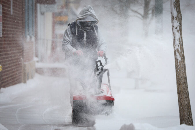
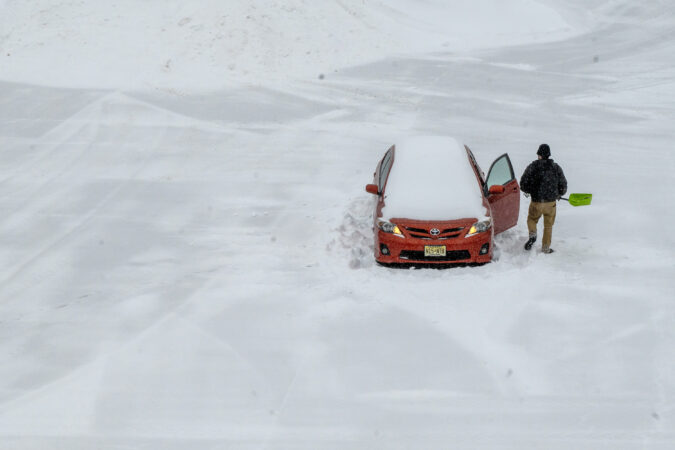
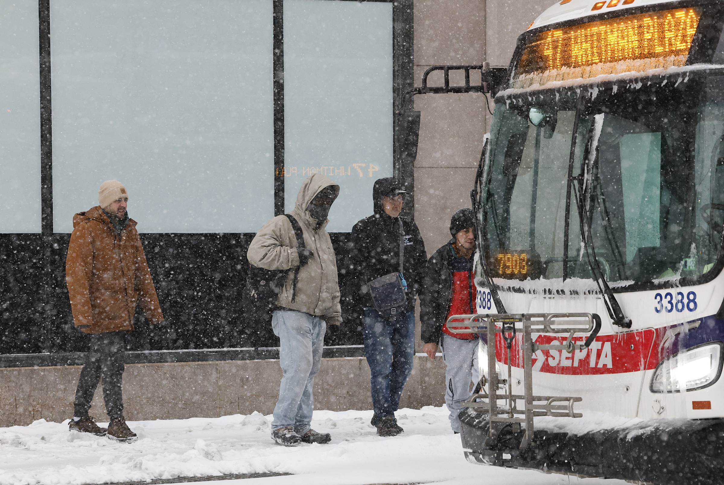
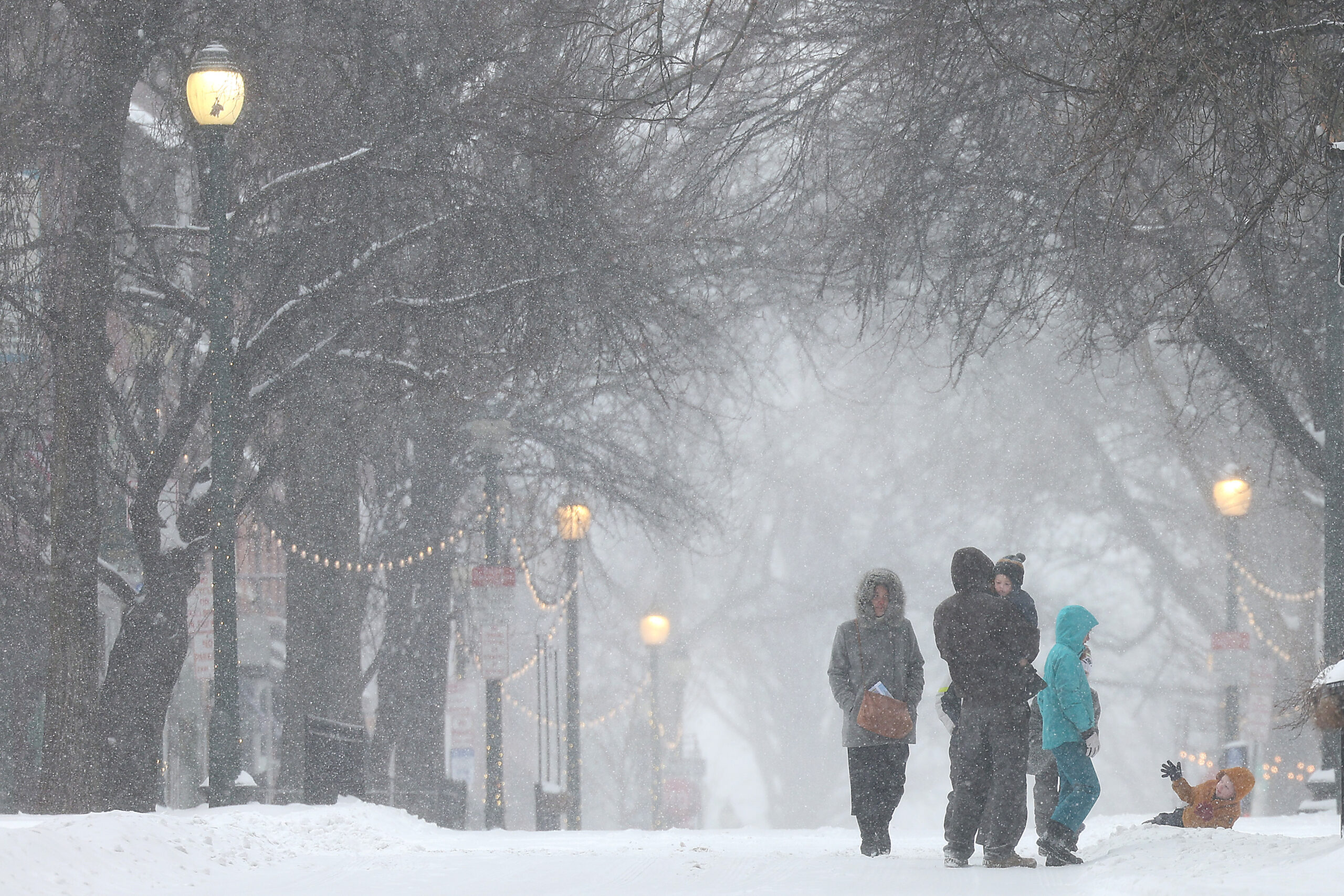
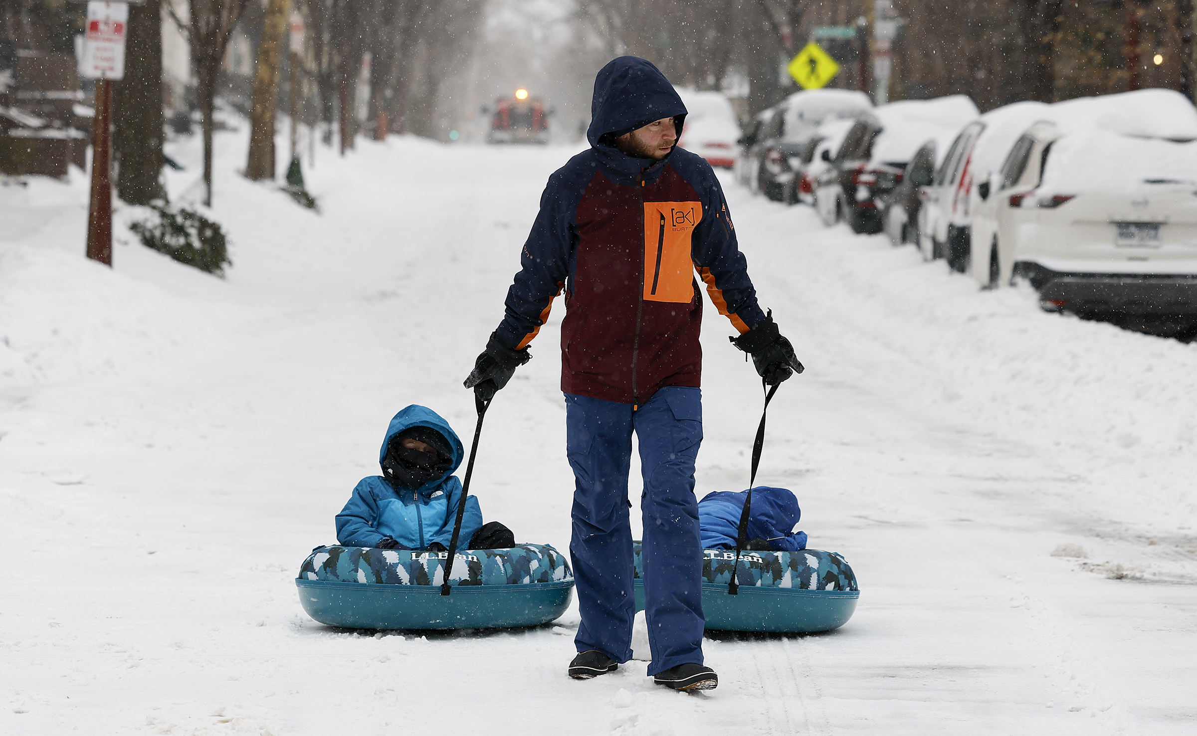
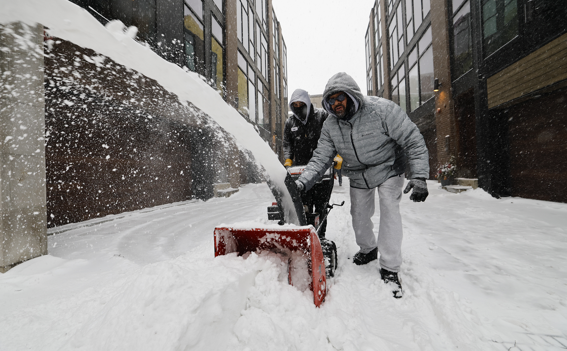
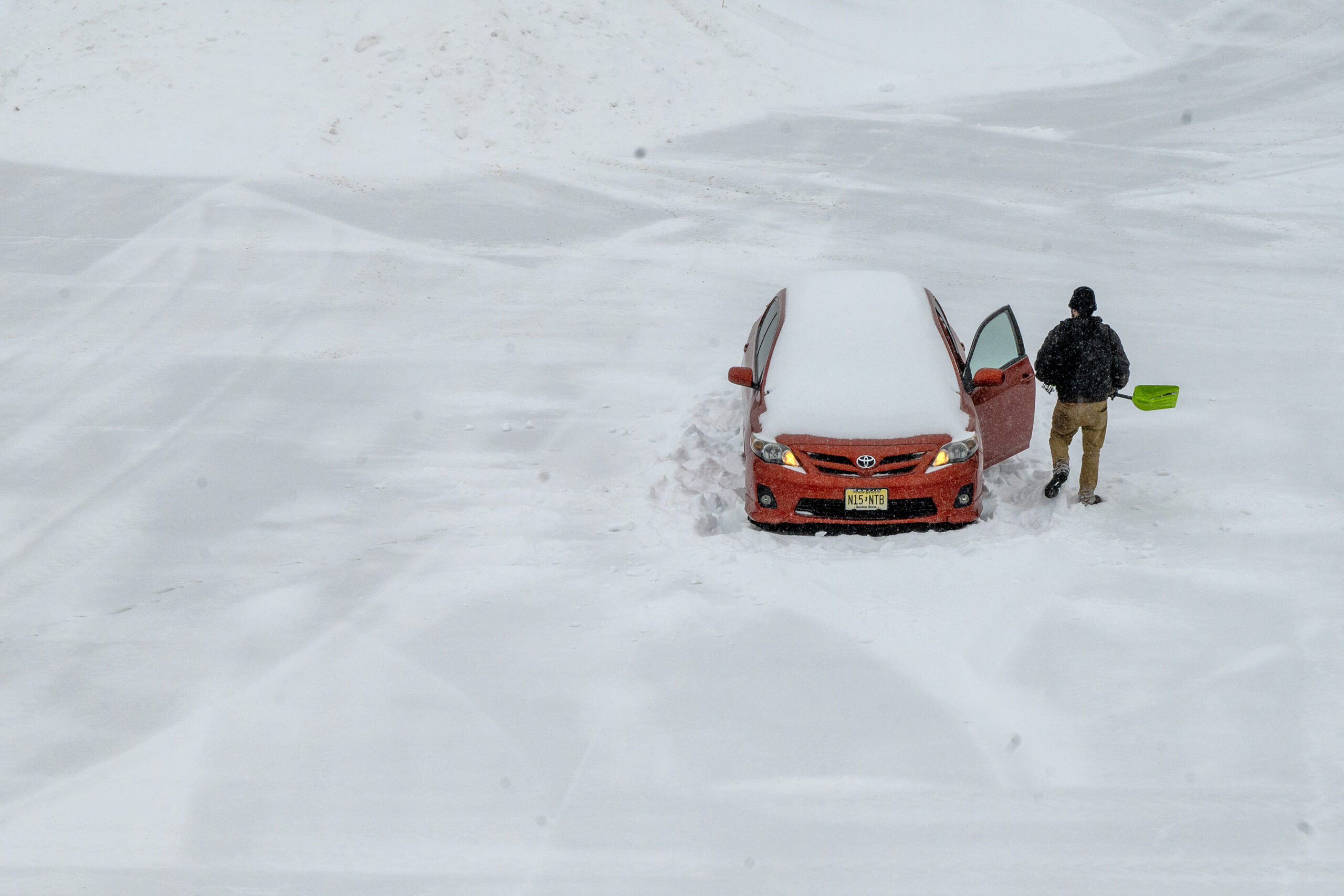
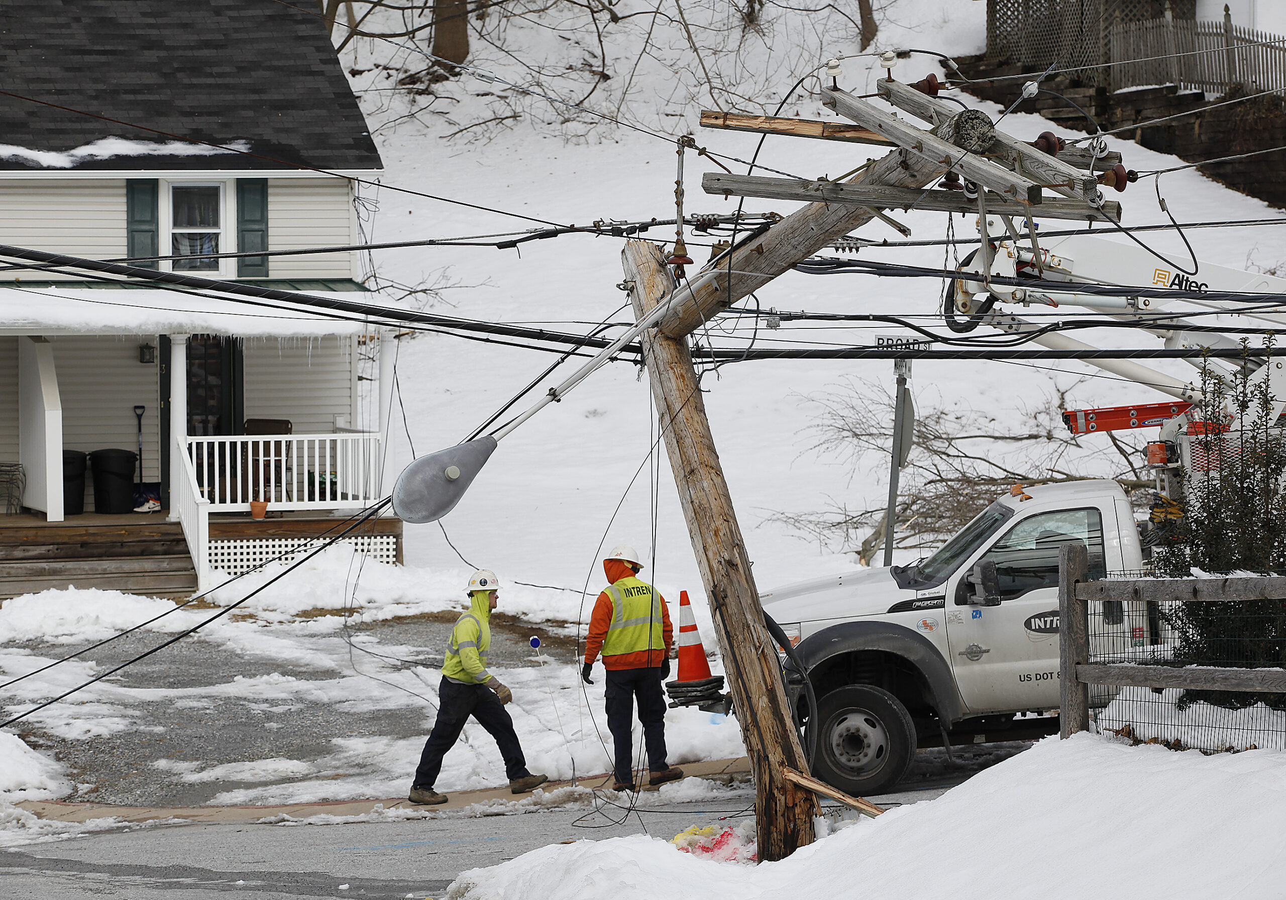
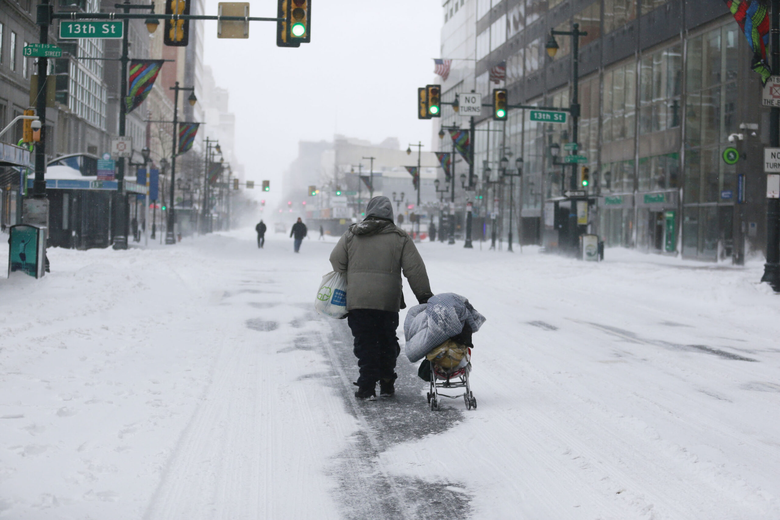
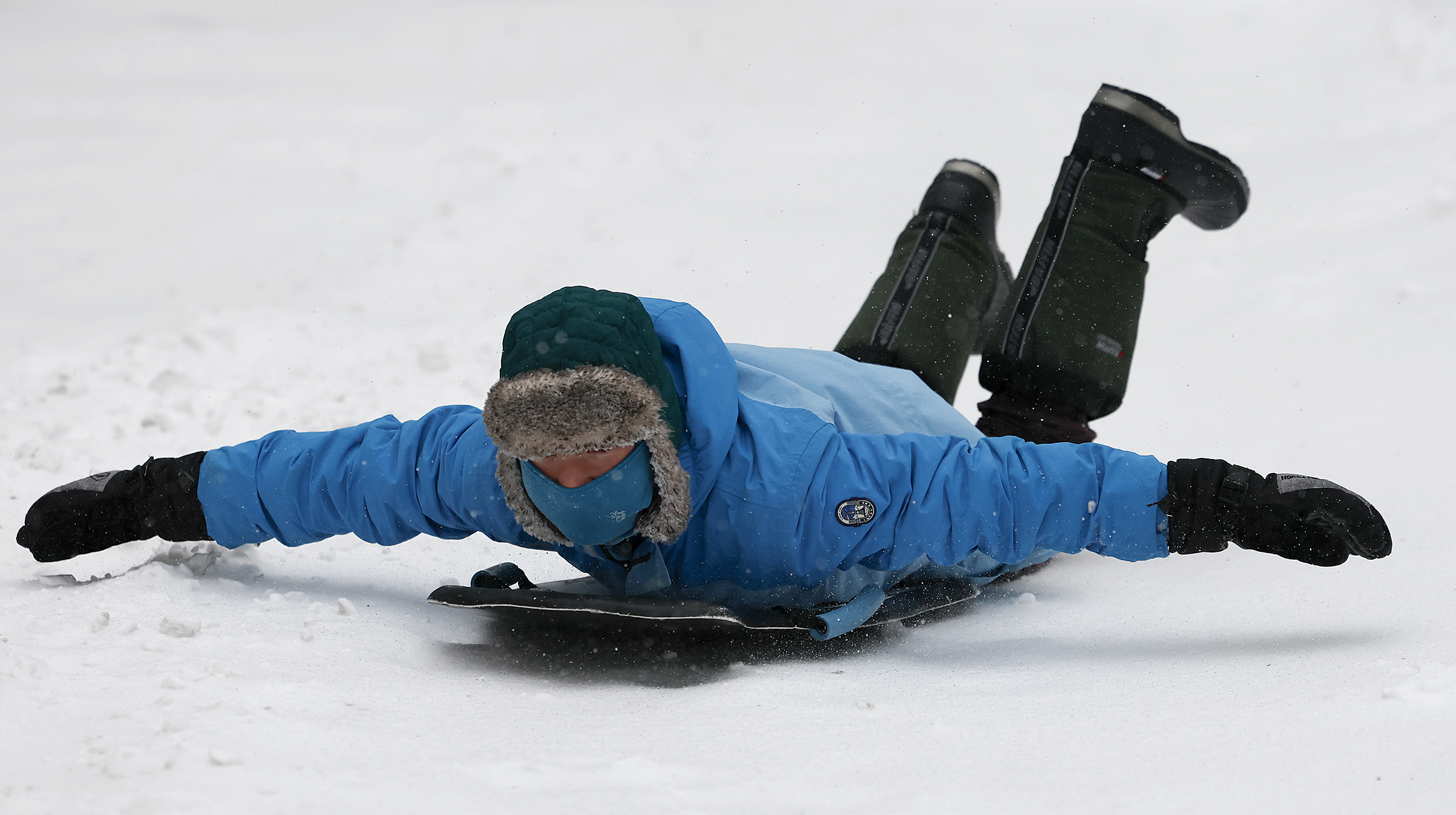
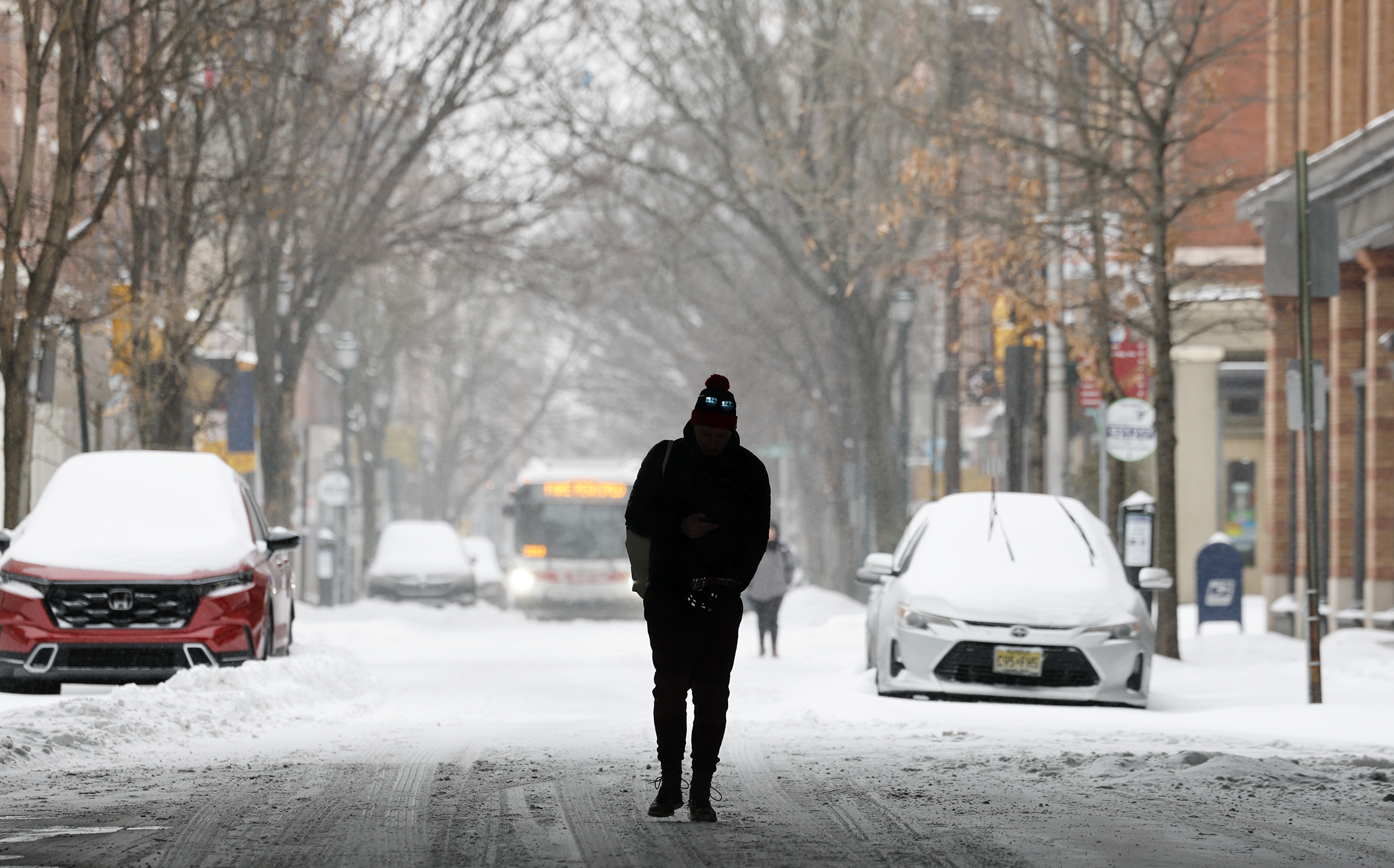
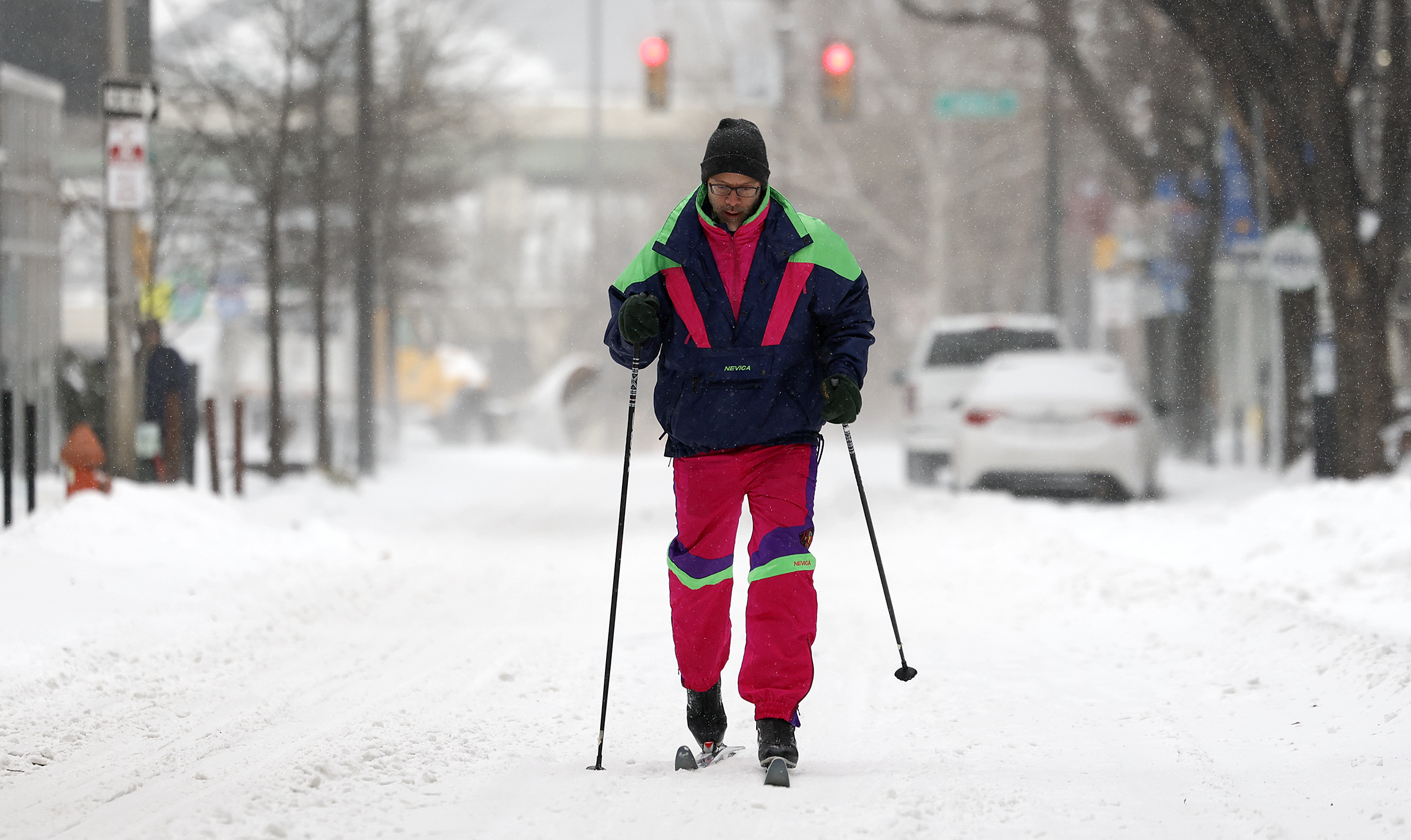
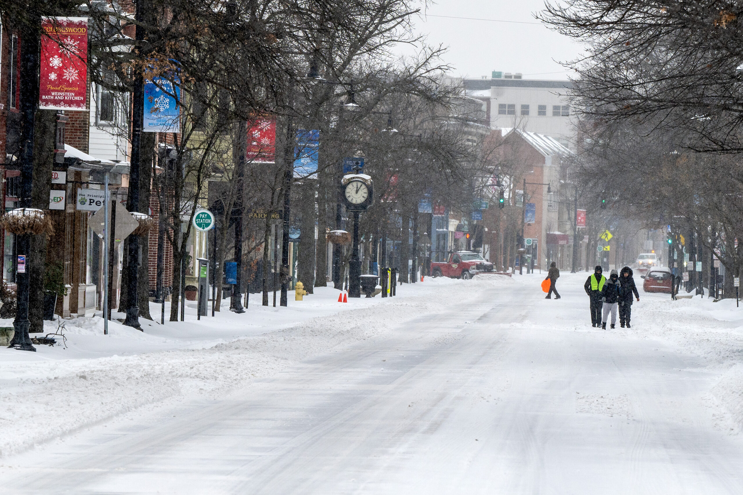
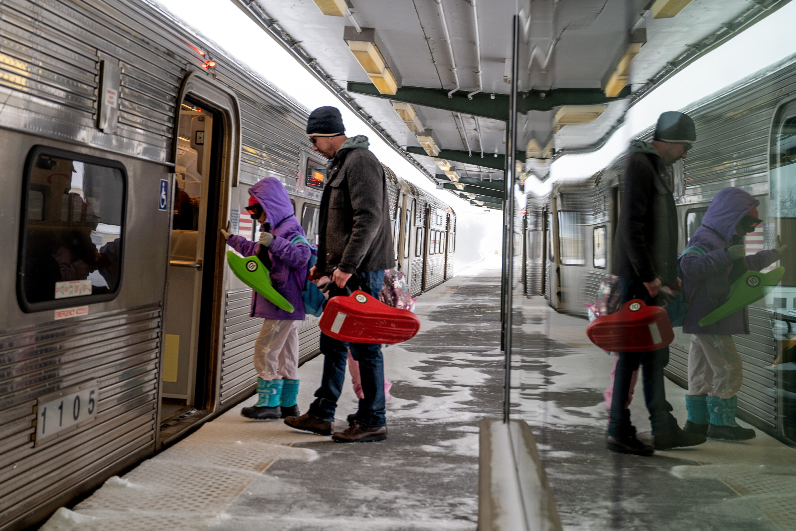
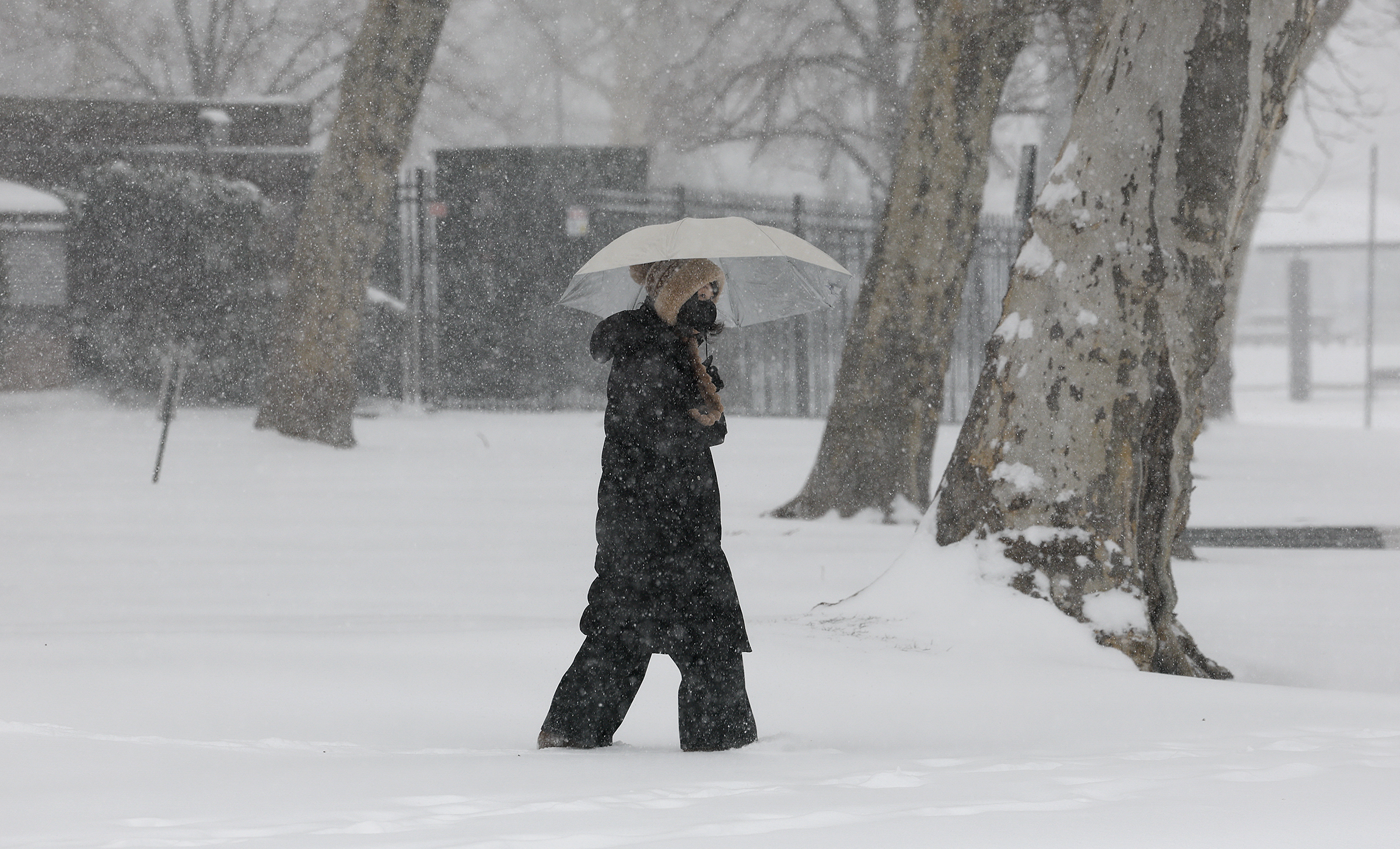
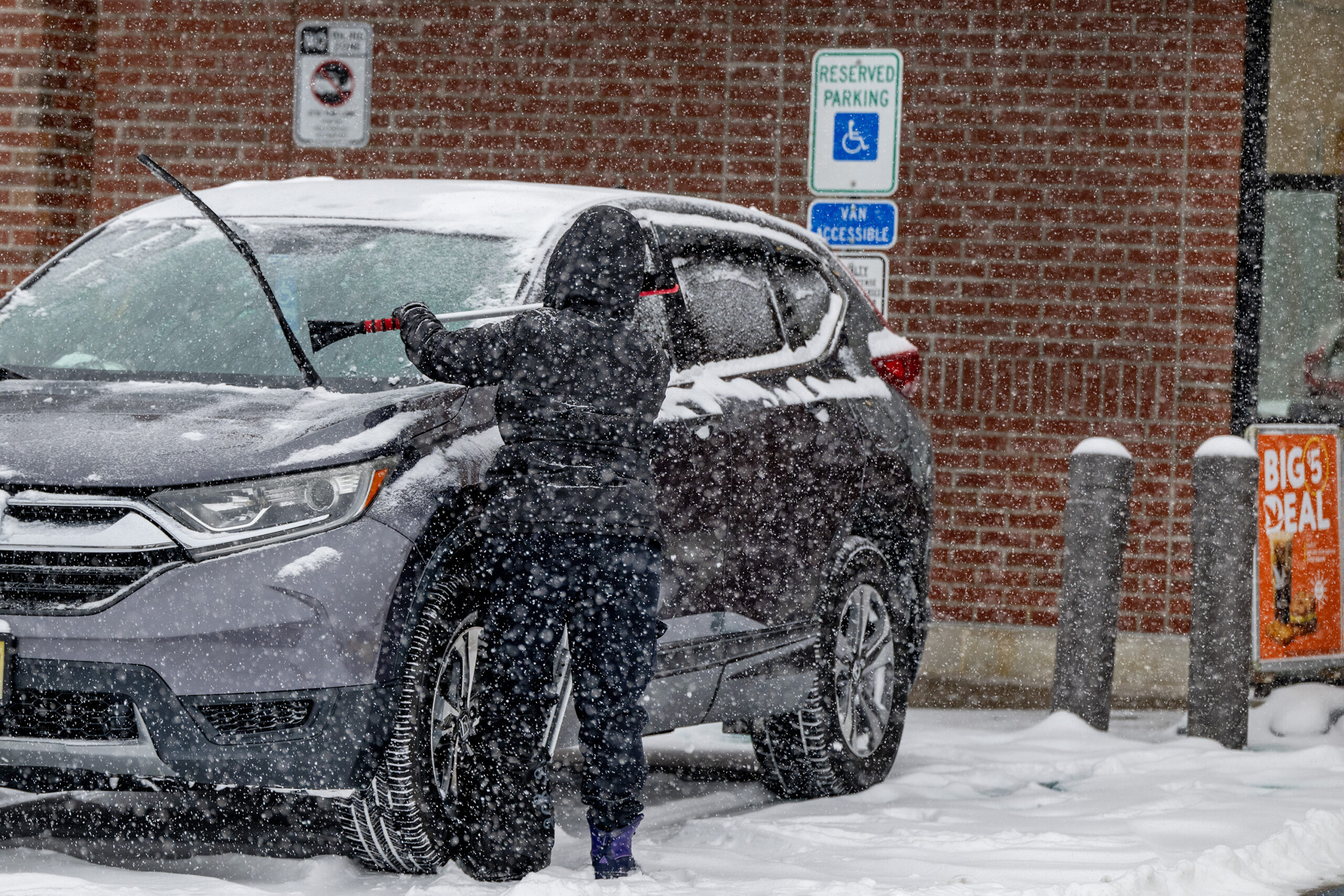
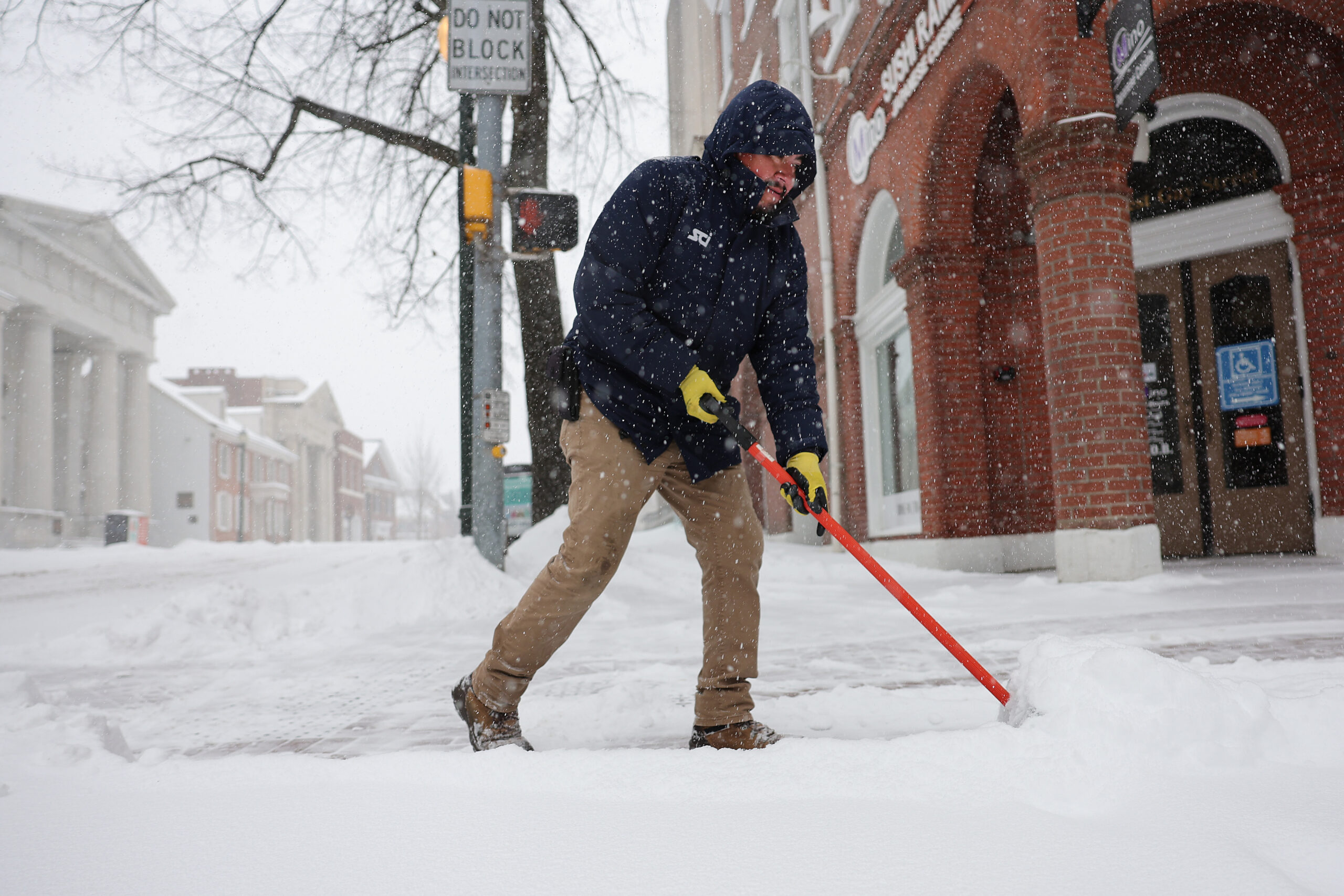
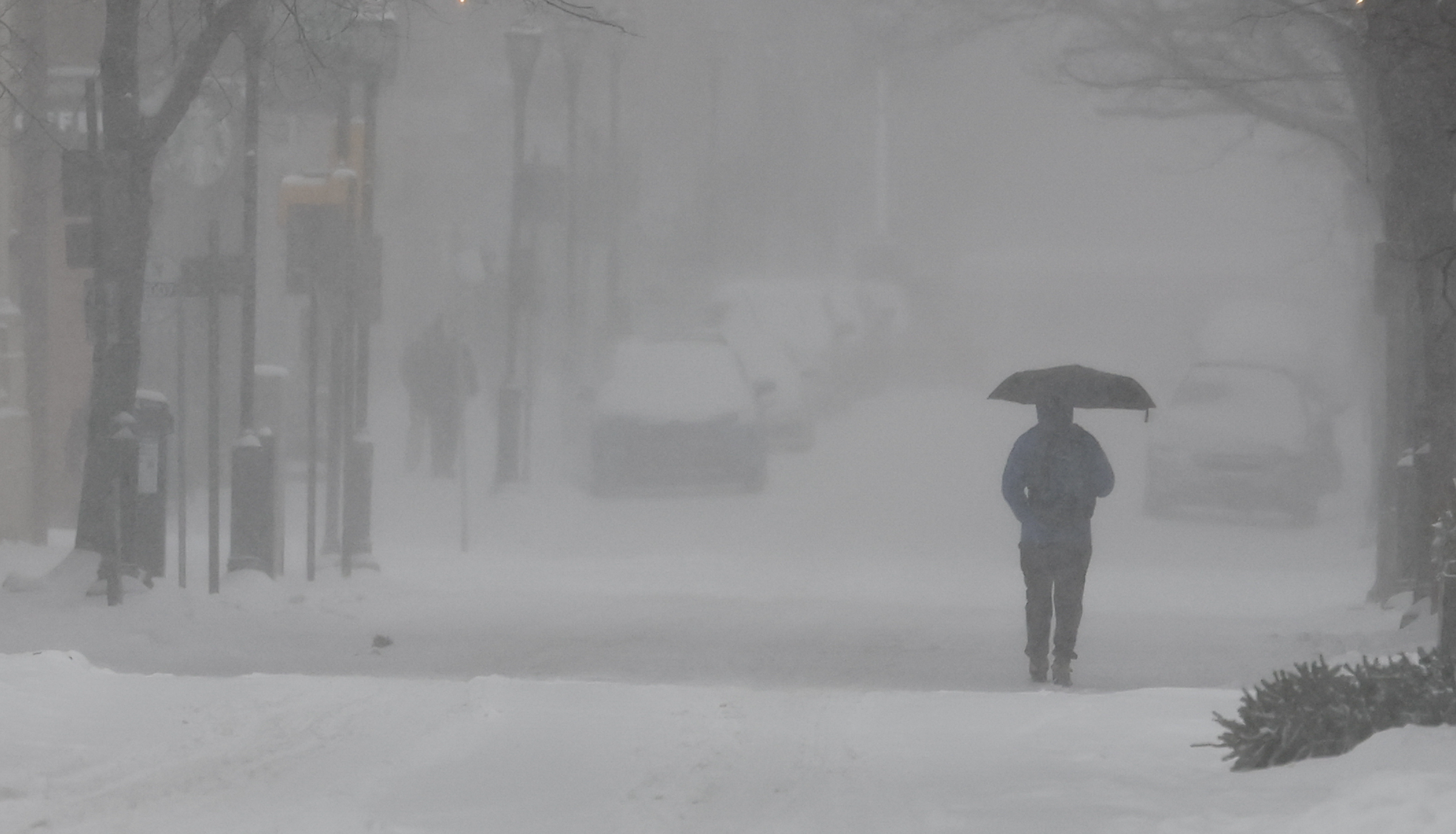
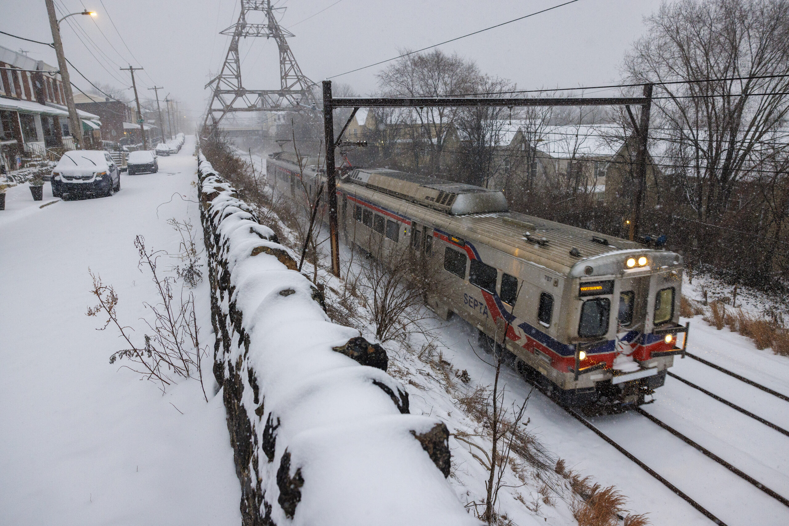
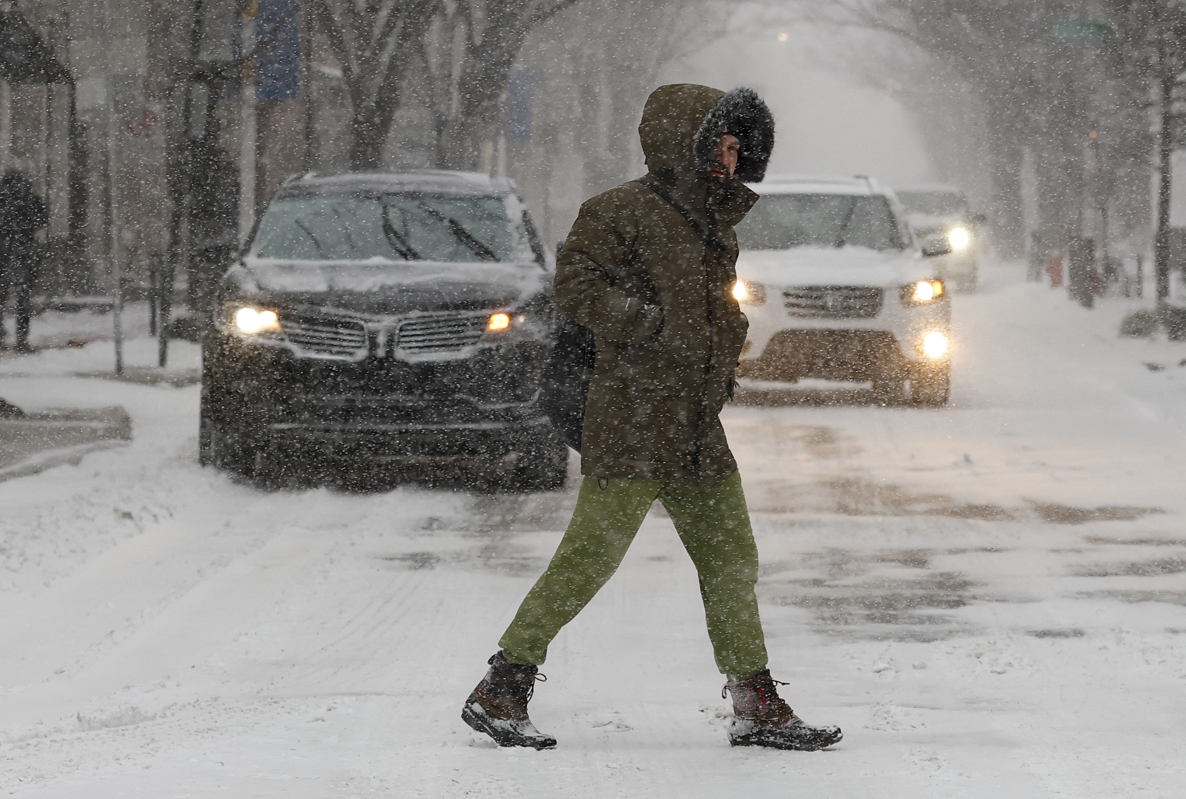
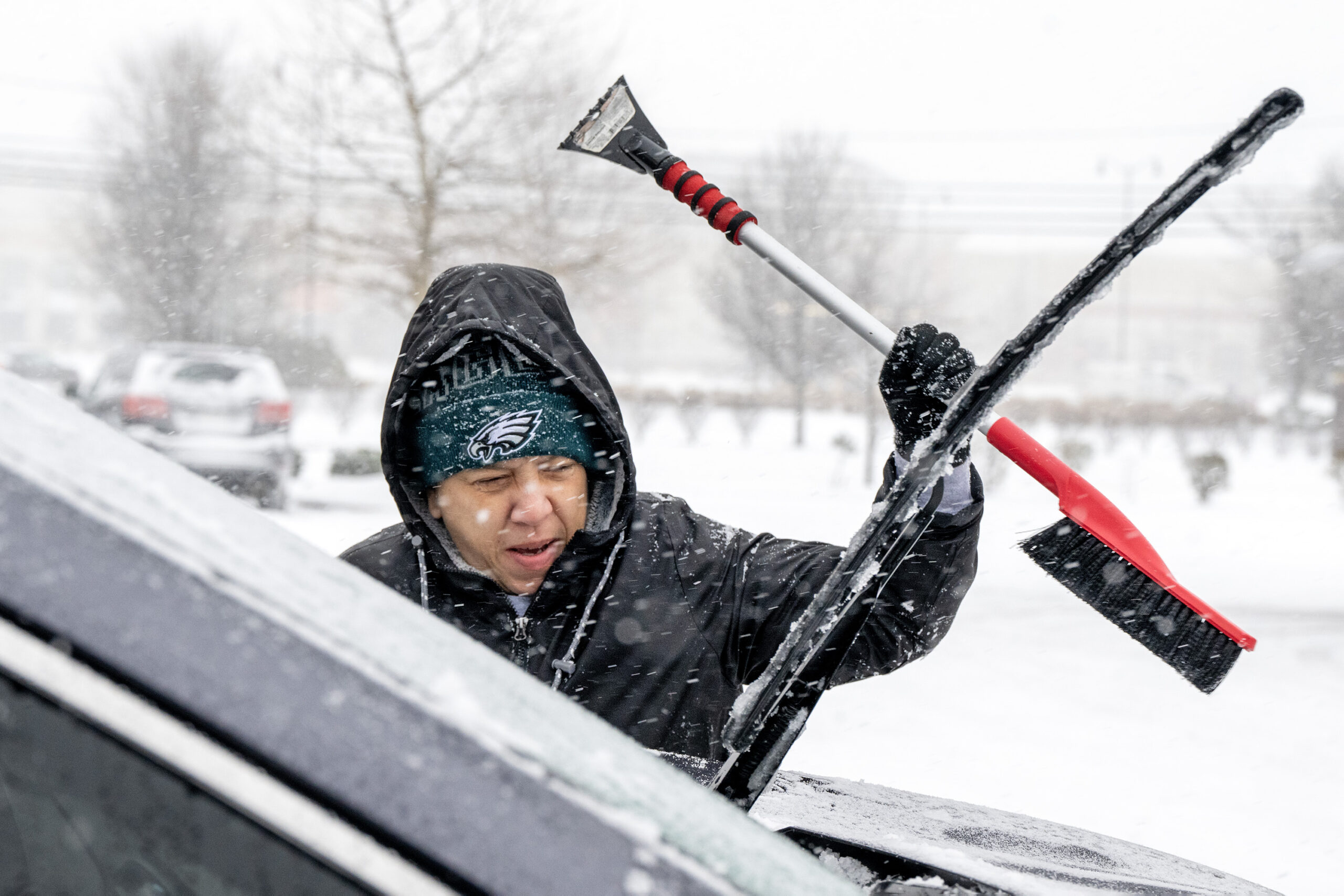
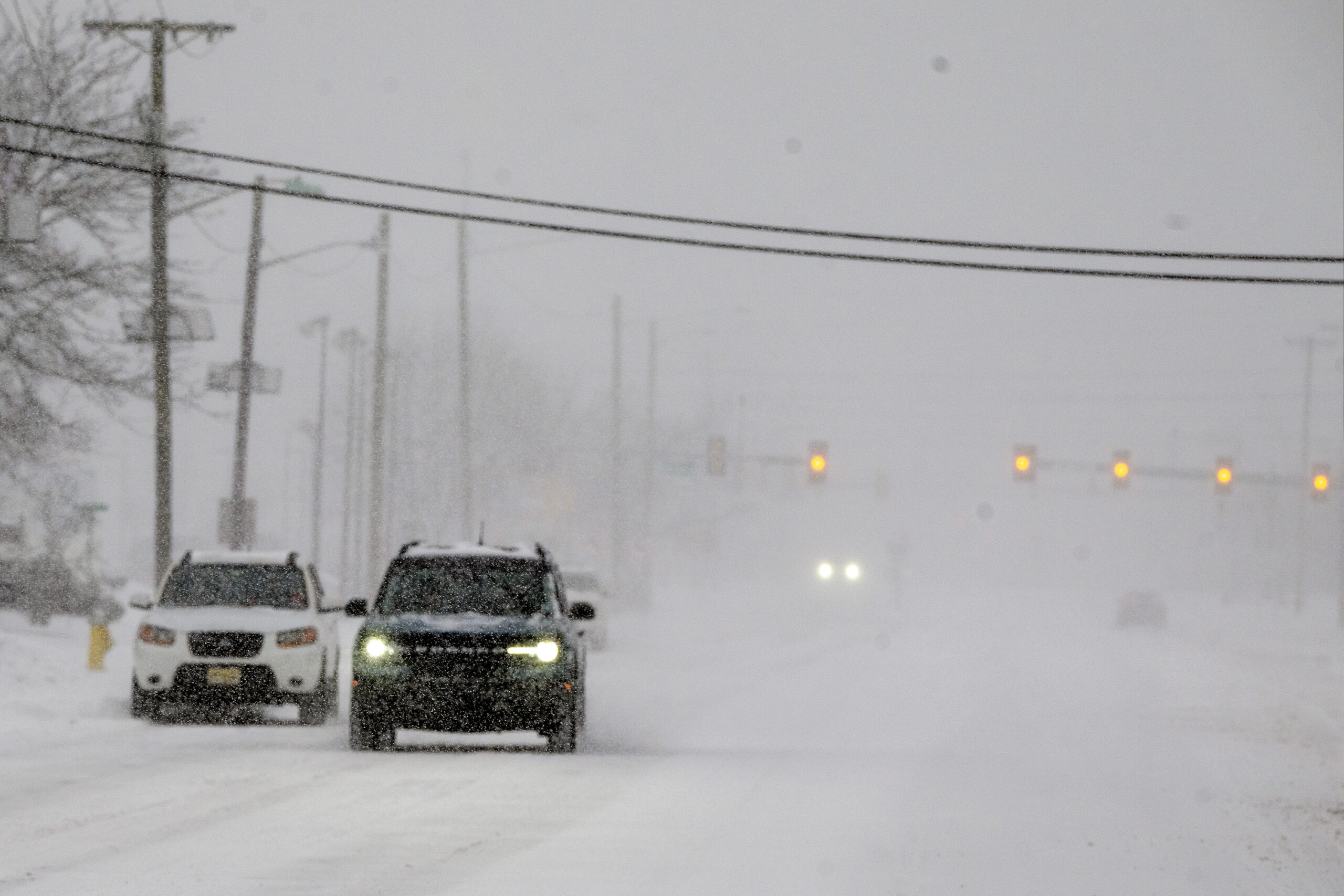
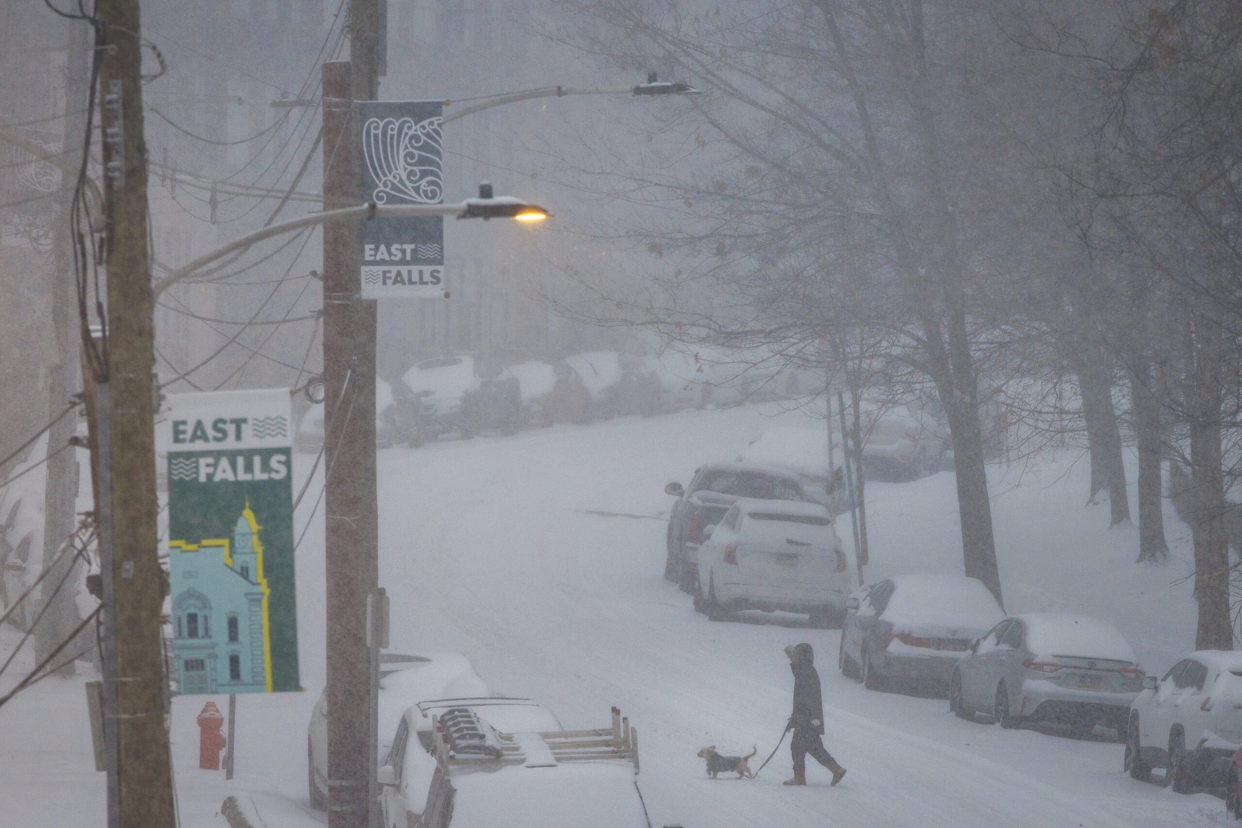
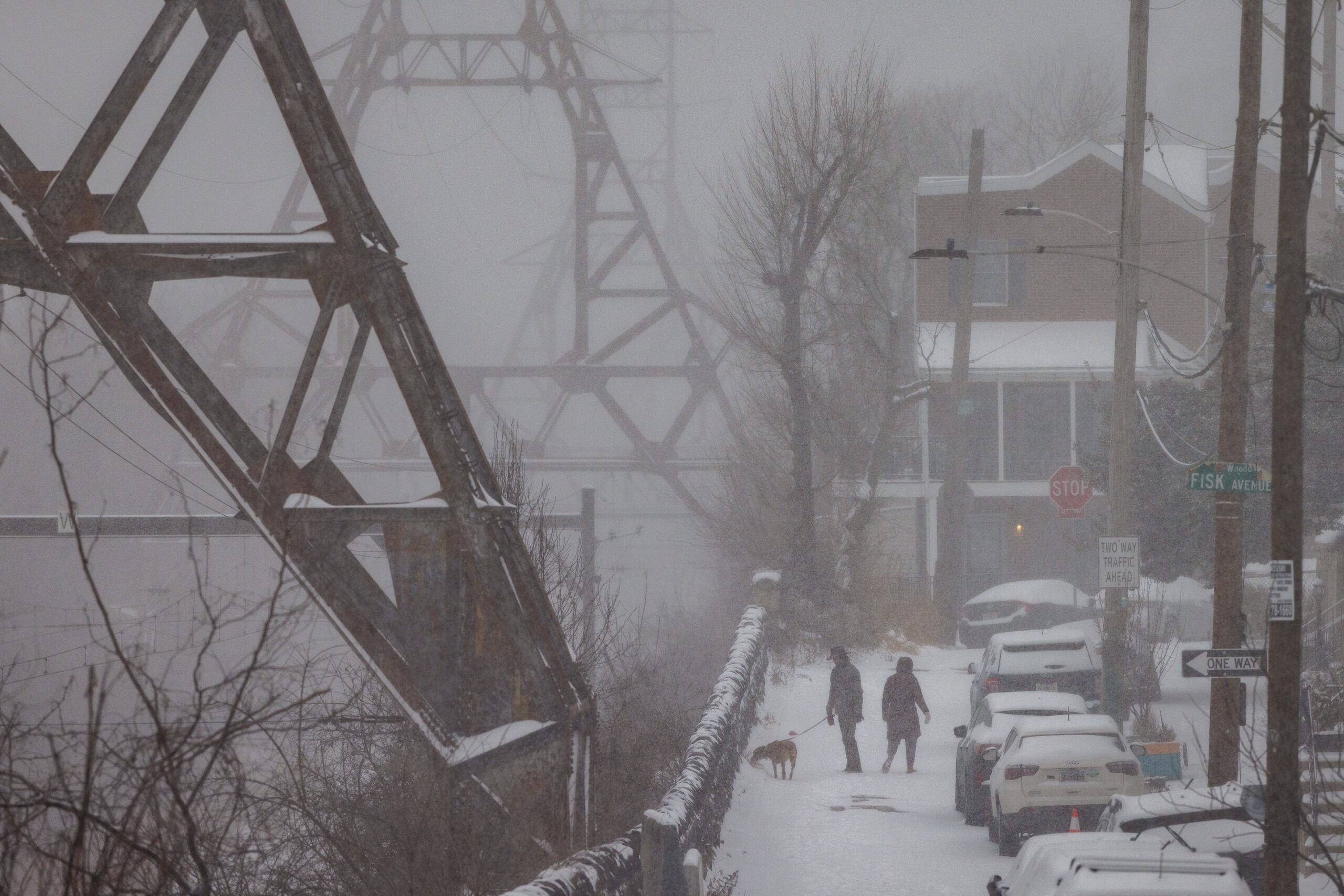
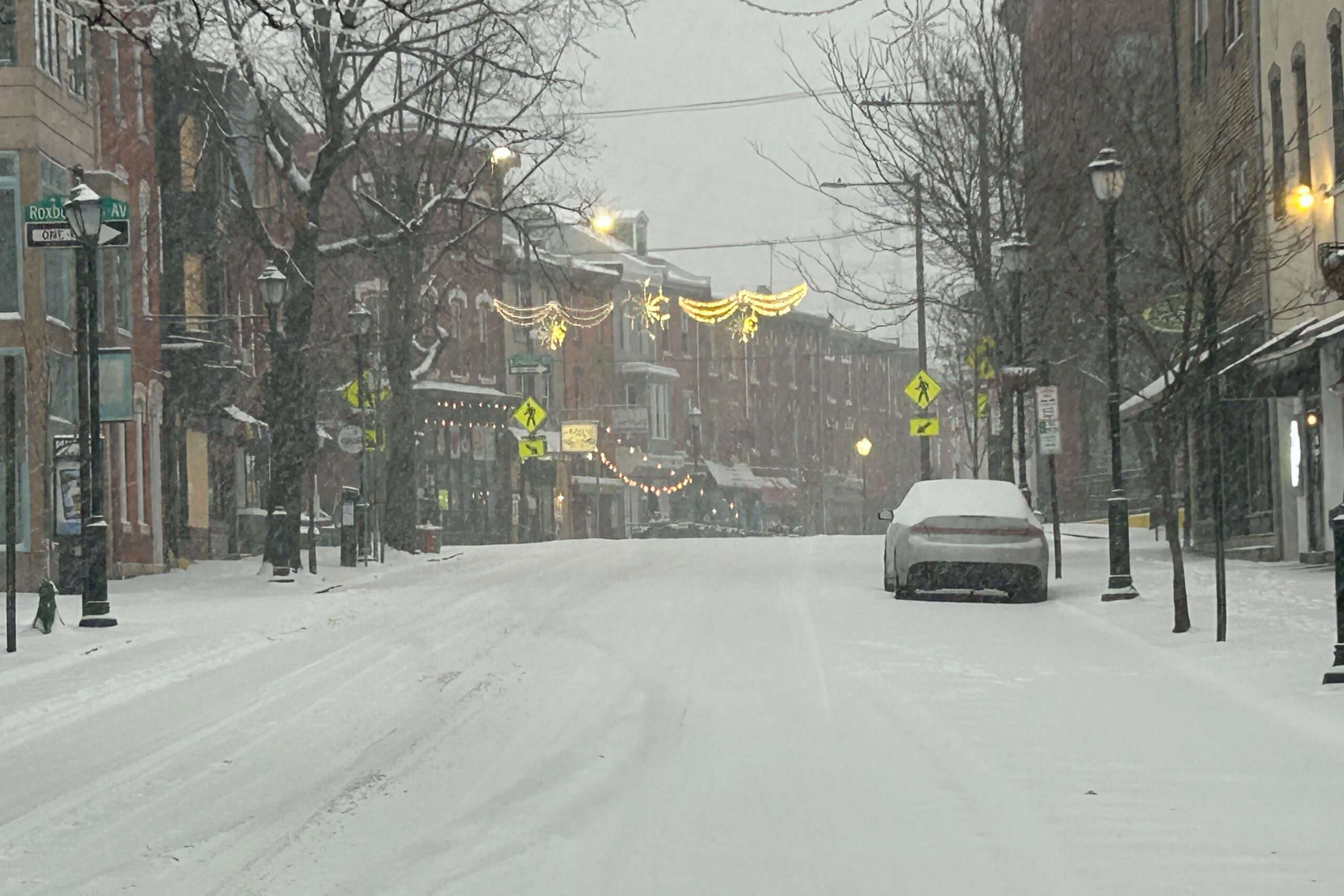
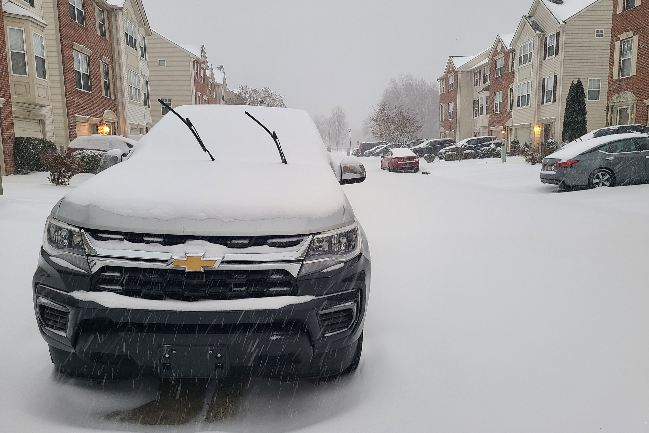
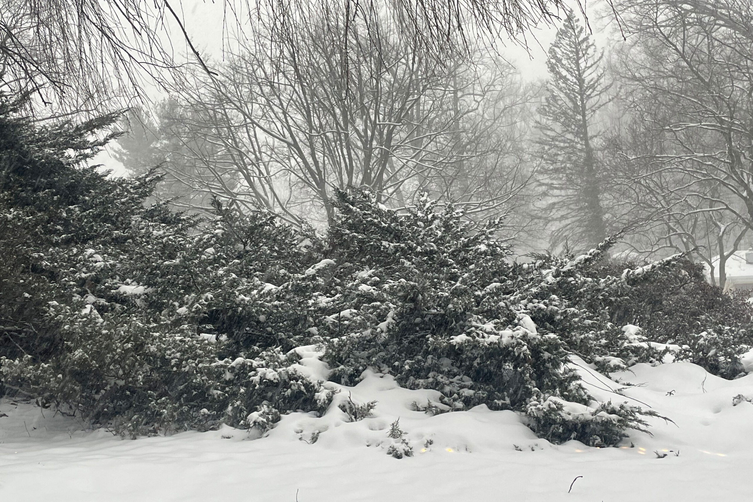
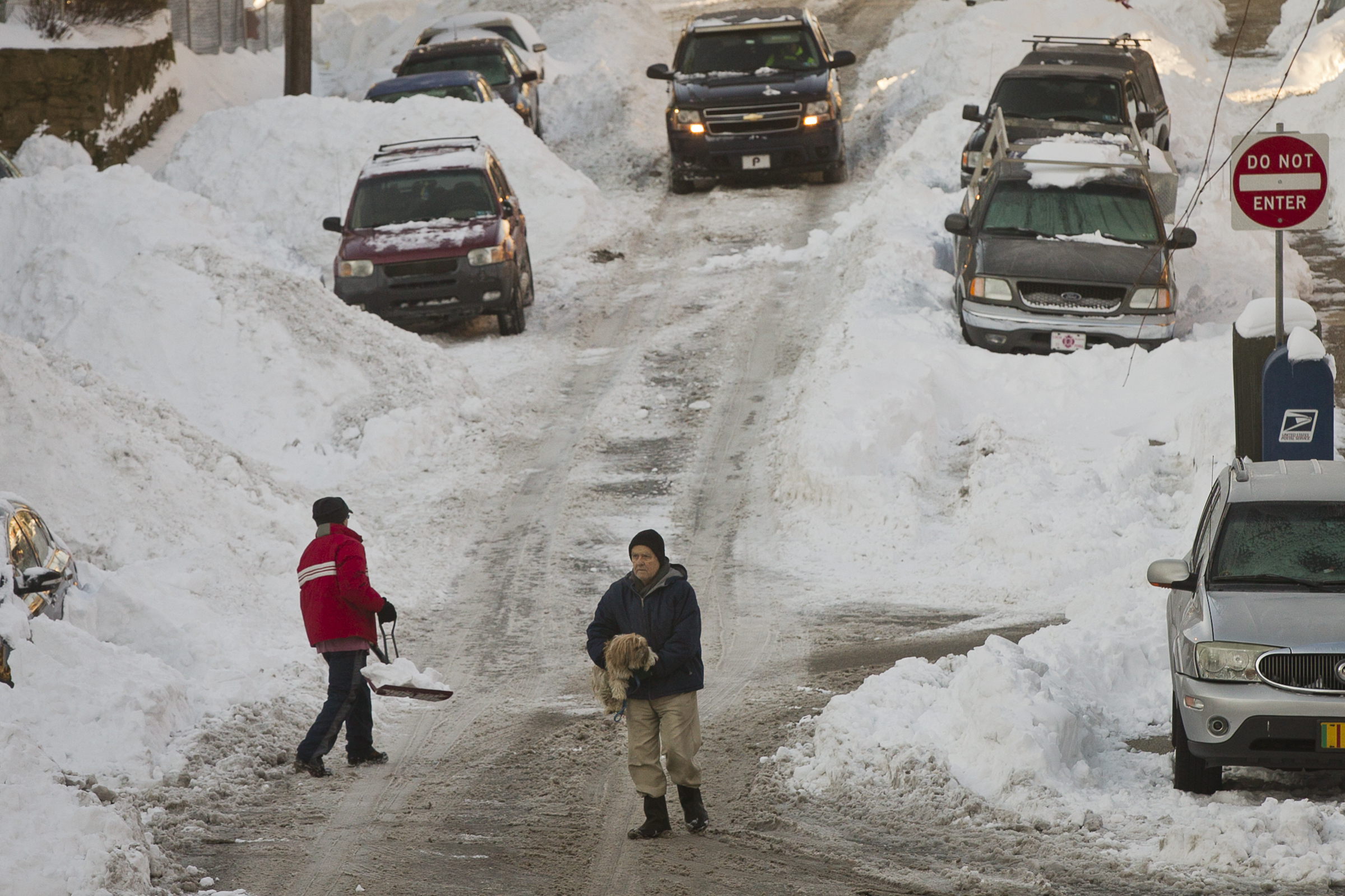
Parts of Chester County saw more than a foot of snow, with the heavy snowfall delaying trash collections, closing municipal offices, and shuttering school buildings countywide Monday.
East Nantmeal saw some of the highest snow totals in the county — and the entire Philadelphia region —with 12.8 inches blanketing the township as of Monday morning, according to the National Weather Service. Malvern wasn’t far behind, with 12.5 inches. East Goshen racked up the lowest total reported in Chester County, sitting around 8. Chester County municipalities saw some of the highest snowfalls in the collar counties, and outdid Philadelphia, which topped out at 9.3 inches.
Mostof the region received between six and 12 inches by Sunday evening.
But even with the gradient of difference in Chesco, it was enough to close all school districts’ buildings in the county Monday. Some districts instituted flexible remote learning schedules. Others gravitated toward a traditional snow day.
“Students are officially expected to enjoy this winter wonderland — and take a well-deserved breather at the midpoint of our school year,” Kennett Consolidated School District wrote in a post on its website.
The districts hadn’t yet made their calls by noon Monday about returning to school for the rest of the week, but several said flexible instruction may be implemented if road conditions don’t improve.
As municipalities continue to plow streets, many are still calling for no street parking, with several offering free parking in borough lots or parking garages. Municipal meetings are also being rescheduled as residents continue to dig out.
Meanwhile, across the county, residents should expect their trash and recycling collection to follow a different schedule this week.
Here’s a look at the trash collection delays municipalities have advertised online:
Avondale: Trash pickup moved to Tuesday.
Caln: Shifted by one day through the week, beginning Tuesday for Monday customers.
Kennett Square: Trash pickup moved to Wednesday.
East Brandywine: Trash pickup moved to Wednesday.
East Bradford: Trash pickup moved to Saturday.
East Caln: Trash pickup canceled this week.
East Fallowfield: Trash pickup moved to Saturday.
East Goshen: Shifted by one day through the week, beginning Tuesday for Monday customers.
Easttown: Trash pickup moved to Tuesday.
Elverson: Trash pickup moved to Wednesday.
Sadsbury: Shifted by one day through the week
Spring City: Trash and recycling delayed until Tuesday and Wednesday.
Upper Uwchlan: Trash and recycling for Monday will be delayed until at least Tuesday, but the township may have further updates.
Uwchlan: Trash pickup moved to Wednesday.
West Chester: Shifted by one day through the week.
West Goshen: No collection Monday; the township will provide updates on collection for Tuesday.
West Whiteland: Trash pickup moved to Wednesday.
Westtown: Shifted by one day through the week, beginning Tuesday for Monday customers and Friday for Thursday customers.
A far-reaching winter storm blanketed the Mid-Atlantic in an icy brew of snow and sleet Sunday, with preliminary totals nearing a foot and a half in parts of New Jersey and New York.
Philadelphia International Airport received its biggest snow of the season, and in 10 years, with 9.3 inches of snow and ice recorded by 12 a.m., after precipitation ended, according to the National Weather Service.
Philadelphia ranked near the middle of the pack of regional totals. A survey of five regional National Weather Service offices showed PHL’s total ranked 496 of 923 storm total reports made by Monday morning.
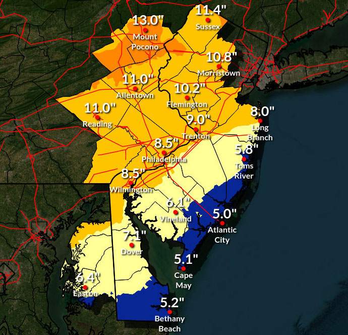
The Philadelphia metropolitan region generally received between six and 12 inches of snow by Sunday evening, according to National Weather Service reports.
Among the highest totals outside of the city:
Malvern – 12.5 inches
East Nantmeal – 12.4 inches
Skippack – 12.2 inches
Gardenville – 12.0 inches
Pipersville – 11.8 inches
Farther north, as much as 17 inches of snow had fallen as by Monday morning in Stockholm, N.J. — part of Hardyston. Dulles International Airport in Washington, D.C., reported 7.8 inches of snow and ice as of the morning. New York City’s Central Park piled up 11.4 inches.
Use the map and chart below to find preliminary snow totals in your area. Hover over dots on the map to reveal more information, or search for Philadelphia-area totals below.
window.addEventListener(“message”,function(a){if(void 0!==a.data[“datawrapper-height”]){var e=document.querySelectorAll(“iframe”);for(var t in a.data[“datawrapper-height”])for(var r,i=0;r=e[i];i++)if(r.contentWindow===a.source){var d=a.data[“datawrapper-height”][t]+”px”;r.style.height=d}}});window.addEventListener(“message”,function(a){if(void 0!==a.data[“datawrapper-height”]){var e=document.querySelectorAll(“iframe”);for(var t in a.data[“datawrapper-height”])for(var r,i=0;r=e[i];i++)if(r.contentWindow===a.source){var d=a.data[“datawrapper-height”][t]+”px”;r.style.height=d}}});
Winter weather can upend even the best-laid travel plans, but one less thing to worry about is losing money if your flight is canceled: U.S. airlines are required to provide refunds.
A monster storm started to wreak havoc across parts of the country over the weekend, with 12,200 weekend flights and counting canceled. Forecasters warned that catastrophic damage, especially in areas pounded by ice, could rival that of a hurricane.
Here’s a guide for winter travelers as flight disruptions pile up:
Keep an eye on weather forecasts
When airlines expect bad weather to create problems for flights, they often give travelers a chance to postpone their trips by a few days without having to pay a fee. Search online for your airline’s name and “travel alerts” or similar phrases to look for possible rescheduling offers.
American Airlines, for example, said it is waiving change fees for passengers impacted by the storm and adding extra flights around the country in an effort to help passengers reach their destination after the storm passes.
Use the airline’s app to make sure your flight is still on before heading to the airport.
Cancellations can happen hours — or even days — before departure time. Consider American and Delta Air Lines: By midday Saturday, each carrier had canceled more than 1,000 of its scheduled Sunday flights, according to flight tracking site FlightAware.
Oklahoma’s largest airport suspended all flights Saturday, while Dallas–Fort Worth International Airport, a major hub, saw more than 700 departing flights canceled and nearly as many arriving flights called off. Flight disruptions also were stacking up at airports in Chicago; Atlanta; Nashville; and Charlotte, N.C.
Disruptions continued to intensify on Sunday.
My flight was canceled, now what?
If you’re already at the airport, get in line to speak to a customer service representative. If you’re still at home or at your hotel, call or go online to connect to your airline’s reservations staff. Either way, it helps to also research alternate flights while you wait to talk to an agent.
Most airlines will rebook you on a later flight for no additional charge, but it depends on the availability of open seats.
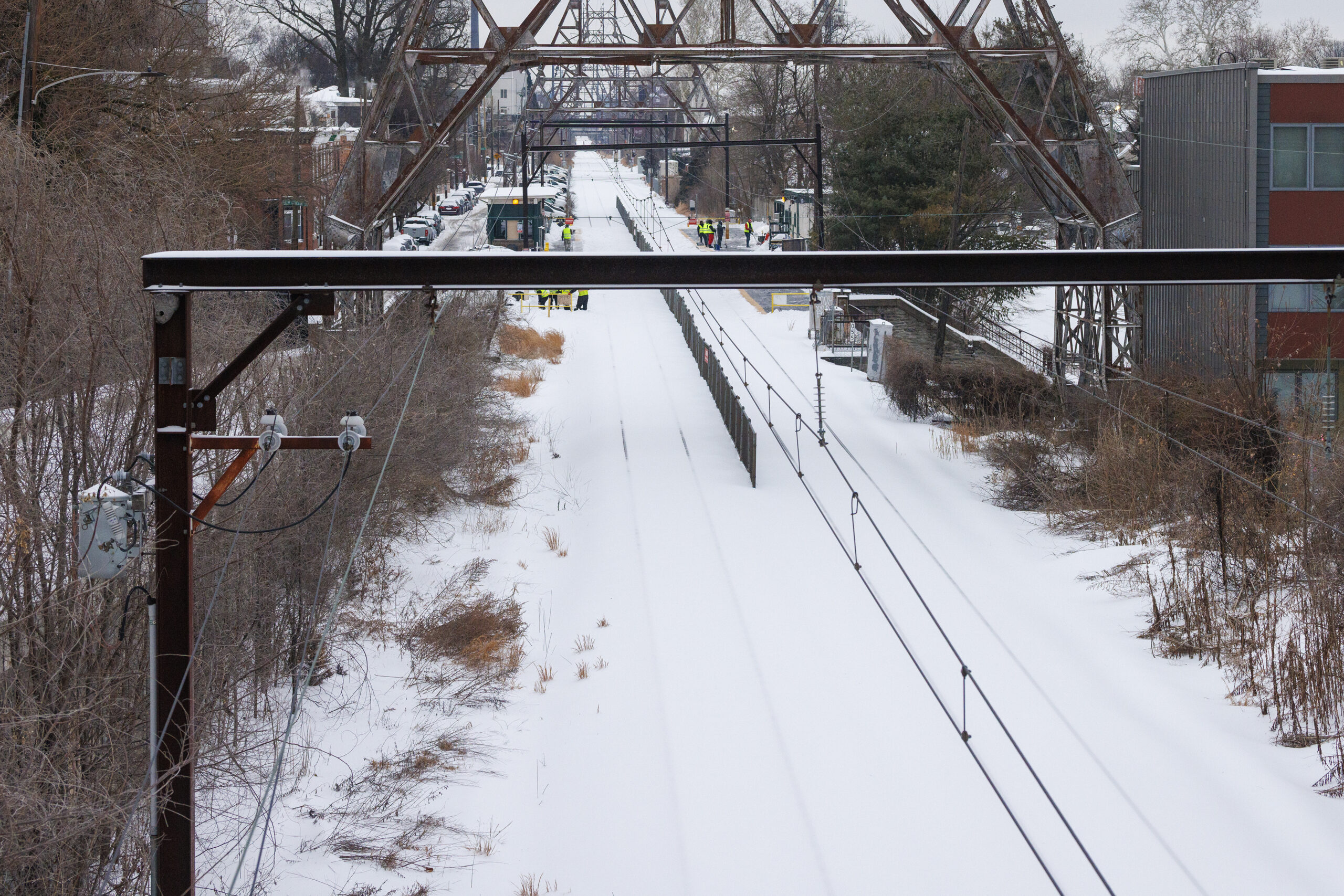
Snow is plowed in the East Falls section of Philadelphia on Monday.
Can I get booked on another airline?
You can, but airlines aren’t required to put you on another carrier’s flight. Some airlines, including most of the biggest carriers, say they can put you on a partner airline, but even then it can be a hit or miss.
Am I owed a refund?
If your flight was canceled and you no longer want to take the trip, or you’ve found another way to get to your destination, the airline is legally required to refund your money — even if you bought a non-refundable ticket. It doesn’t matter why the flight was canceled.
The airline might offer you a travel credit, but you are entitled to a full refund. You are also entitled to a refund of any bag fees, seat upgrades or other extras that you didn’t get to use.
When will I get my refund?
If you paid with a credit card, a refund is due within seven business days after you decline an offer from the airline for another flight or a voucher, and within 20 calendar days if you paid for the ticket with a check or cash, according to the U.S. Department of Transportation.
What else will my airline cover?
U.S. airlines aren’t required by the Transportation Department to compensate passengers for meals or lodging when an airline cancels or significantly delays a flight during an “uncontrollable” event like bad weather.
Each airline, however, does have its own policies for assisting passengers who are stranded by a so-called “controllable” flight cancellation or long delay. These include disruptions caused by maintenance issues, crew shortages, or computer outages that halt operations. The Transportation Department can hold airlines accountable for these commitments and maintains a website that lets travelers see what each airline promises if a major disruption is their fault.
Other tips
If the weather forecast is troubling, Kyle Potter, executive editor of Thrifty Traveler, suggests looking into booking a backup flight. Some airlines stand out as potential backups, Potter says, because they let customers get a full refund as long as they cancel within 24 hours of booking.
The customer service phone lines will be slammed if flight cancellations and delays start stacking up during a bad storm. If you’re traveling with someone who has a higher frequent-flyer status, call the airline using their priority number. Another trick: Look up the airline’s international support number. Those agents can often rebook you just the same.
After Philly’s biggest snow in 10 years, a very big chill is coming
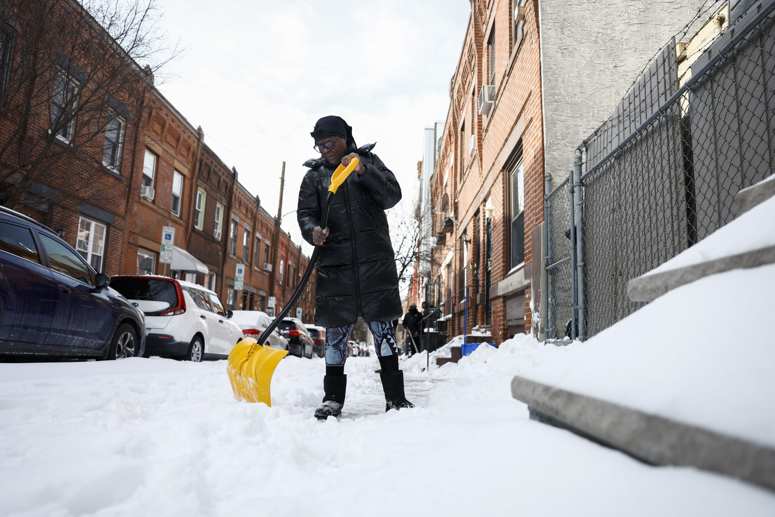
A person (okay with photograph but no name given), shovels on Flora Street in Brewerytown on Monday, Jan. 26, 2026 in Philadelphia. In Philadelphia, 9.3 inches of snow fell, the most in a decade.
For the Philly region Monday it wasn’t so much a matter of digging out from the heftiest snowfall in a decade, it was more like a chipping, shaving, scraping, expletive-inducing, and ice-chunk hurling operation.
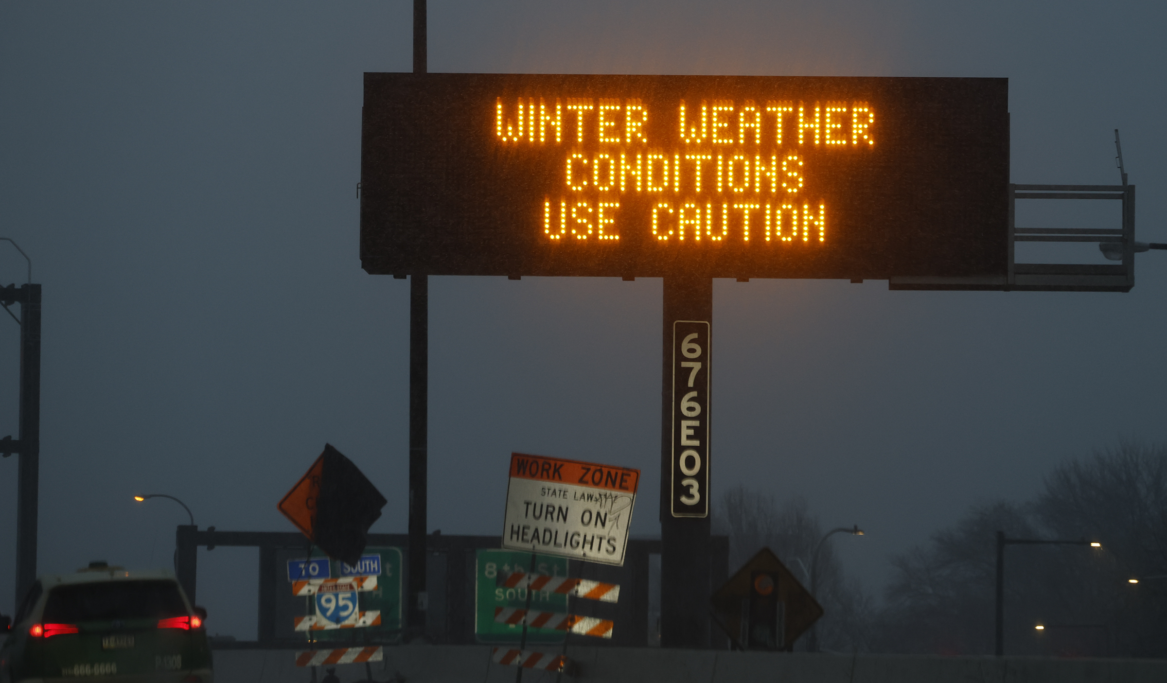
Public transportation appeared to be getting back on track, and major roads were open for business with speed reductions removed, thanks to crews working through the weekend.
But expect some side streets in the city and elsewhere to remain fit for sleigh rides this week and trash pickup to be delayed. City offices will be shut down again Tuesday, as will Philly school buildings, with Camden and more calling for a snow day or opting for remote learning.
And if you’re stepping outside, get used to that underfoot crunching sensation. The removal operation isn’t going to get much help this week from the atmosphere. It’s about to turn about as frigid as it ever gets around here. New Jersey officials are warning of “historic” demands on energy.
“We’re going to be in the freezer all week,” said Mike Gorse, meteorologist at the National Weather Service Office in Mount Holly. Philly may have its first zero-degree reading in 32 years later in the week.
It’s as if after recent wimpy winters, the Arctic is reacquainting with Philly and much of the rest of the East.
And did we mention another snow threat for the weekend?
“There’s a chance,” said Marc Chenard, meteorologist with NOAA’s Weather Prediction Center in iced-over College Park, Md., who was among those who had to chuck some frozen boulders before leaving for work Monday morning. “I had to chip it and carry it in pieces,” he said. Sound familiar?
New Jersey and Philly officials expect increased energy demands amid cold
The snow may have stopped falling but officials in Philadelphia and New Jersey say the concerns over the extreme weather and impact on energy grids in the region remain.
The thousands who lost power during the snow storm in New Jersey had it restored by Monday, according to New Jersey Gov. Mikie Sherrill.
She said the relative brevity of outages was due to utilities having workers at the ready “to make sure that if you lost power, they restored it as quickly as possible, knowing how cold it was going to get.”
Still, Sherrill said the state and utilities were preparing for “historic demand” expected Tuesday as a result of the expected temperature drop, which will continue throughout the rest of the week.
Sherrill said her administration has been in touch with PJM Interconnection, the state’s grid operator, to prepare for the surge in demand.
Meanwhile, the U.S. Department of Energy has issued emergency ordersthat will allow PJM and other grid operators across the country to allow additional resources to stay online and help meet energy demands.
Like New Jersey, the Philadelphia region was also spared major outages Sunday.
But Office of Emergency Management Director Dominick Mireles asked the public to prepare for the potential overload of the energy grid and heating grid as the temperature could feel as though it were in the negatives with the wind chill.
Mireles suggested sealing drafts in homes, lowering the thermostat, even if by a few degrees, and switching to more energy efficient items. Something like doing laundry in non-peak hours could help relieve some of the strain on the grid, he said.
“To prepare in the event that you do lose power, you can do things like try to keep your devices charged and use flashlights instead of candles,” he said.
Philadelphia digs out from storm while planning for frigid temperatures
As Philadelphia continues to dig its way out of the weekend winter storm that dropped more than 9 inches of snow on the city, officials are turning an eye to the frigid forecast that is expected to stick around until next week.
“If you don’t have to go outside, do not. If you do not have to drive, please don’t,” Mayor Cherelle L. Park said at news conference Monday.
Parker’s warning came amid the city’s continued snow emergency that is to remain in effect until further notice. Streets Department workers are continuing snow-removal efforts, and had melted about 900 tons of snow with a snow melting machine over the past 10 hours, Parker said. But there was no timeline for the cleanup’s completion, and it could be complicated by the cold weather, Carlton Williams, director of the Office of Clean and Green Initiatives.
“We’re about to hit a deep freeze., and so whatever we don’t get could possibly freeze, and it makes it that much more difficult for us to plow frozen material,” Williams said.
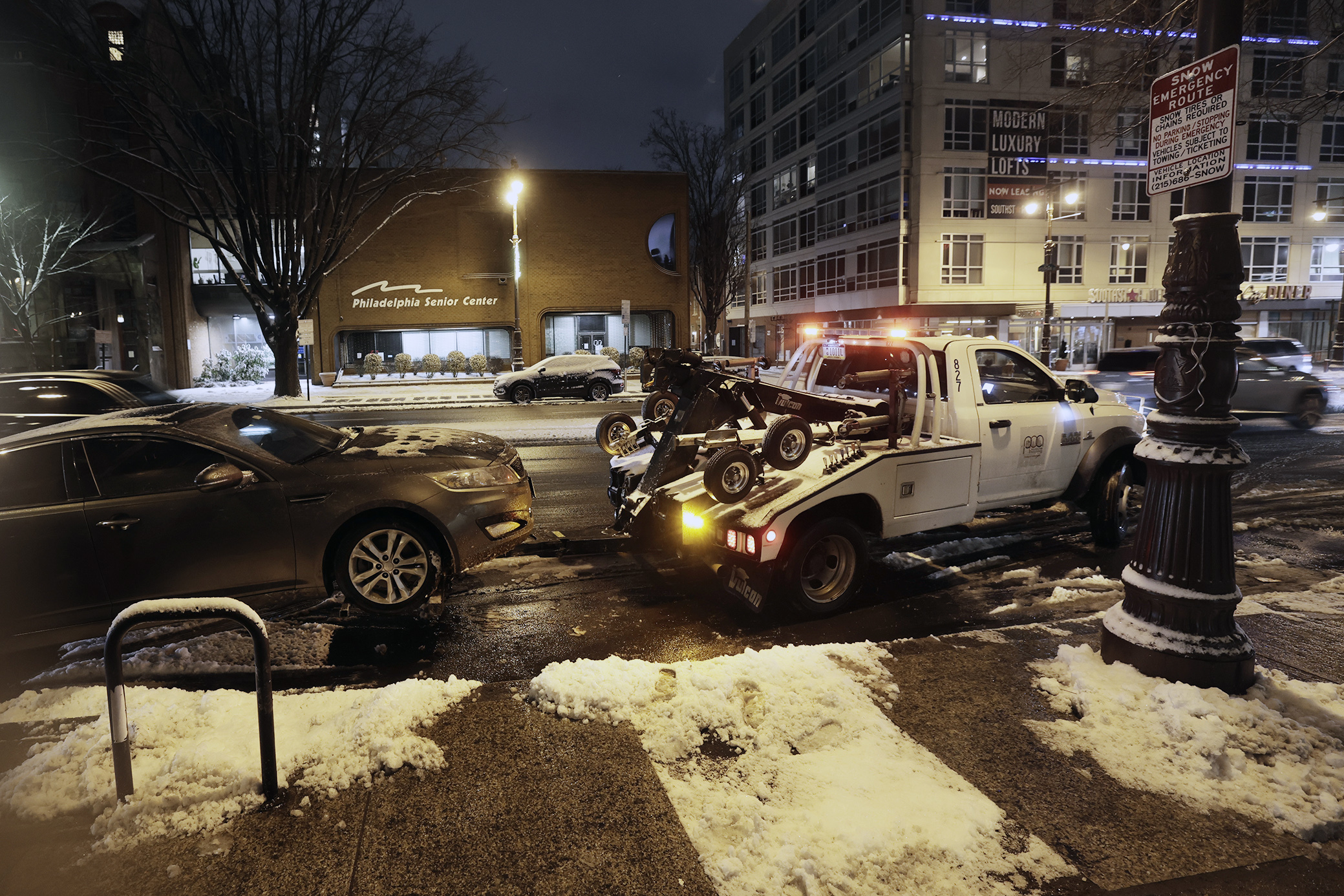
Officials asked Philadelphia residents to help with cleanup efforts by, among other things, not shoveling snow from their sidewalks into the street. Parker also reminded motorists to not park their cars on snow emergency routes, and noted that roughly 350 vehicles had been towed from those routes on Sunday alone.
“This slows down our response, and it delays us from being able to clear this emergency,” Parker said. She added that residents who believe their car was towed from a snow emergency route can call 215-686-SNOW for further information.
Dominick Mireles, director of Philadelphia’s Office of Emergency Management, said the city was making preparations for the cold weather to come. The city, he said, expects high demands on its energy and heating infrastructure during the cold snap, and anticipates that the frigid temperatures could have impacts on the city’s water mains.
The Philadelphia Water Department, meanwhile, remains in an “enhanced operational posture” due to the prolonged cold, commissioner Benjamin Jewell said. He asked that if residents see a water leak or experience a service interruption, they can contact the department at 215-685-3600.
The city will also continue to run its warming centers, with daytime service at select libraries, and nighttime service at select recreation centers, said Crystal Yates Gale, deputy managing director for Health and Human Services. The warming centers will operate until the freezing conditions end, she added.
“Humans are not meant to be outside in those conditions,” she said.
Philadelphia school buildings won’t be open Tuesday as road conditions remain rough in many places after the weekend’s significant winter storm.
After Mayor Cherelle L. Parker told residents city offices and courts would be closed Tuesday, Superintendent Tony B. Watlington Sr. affirmed the call for schools “out of an abundance of caution.”
The district sent students’ Chromebooks home with them Friday, allowing for a possible day of virtual learning Tuesday. Though Monday is a true day off, Watlington warned that if the snow required any further changes, he would pivot to virtual instruction.
City offices and courts will remain closed Tuesday as Philadelphia continues to recover from the weekend storm, Mayor Cherelle L. Parker said at a Monday news conference.
“Despite the tireless work involved in our intergovernmental response, we are not out of the woods, Philadelphia,” Parker said.
The closures are part of a continuing snow emergency declared in the city late Saturday. That snow emergency has not yet been lifted, and will continue until further notice, Parker said.
Watch: Mayor Parker offers updates on snow aftermath
// Timestamp 01/26/26 1:56pm
Camden schools to be closed Tuesday
Camden City School District schools and offices would be closed Tuesday, citing “unsafe conditions on streets and sidewalks” following Sunday’s storm.
“This additional closure will allow our Facilities Department more time to fully clear sidewalks and school grounds and ensure safe access to our buildings,” the district said in a statement.
PennDot has ‘plenty of salt on hand’ as road cleanup continues
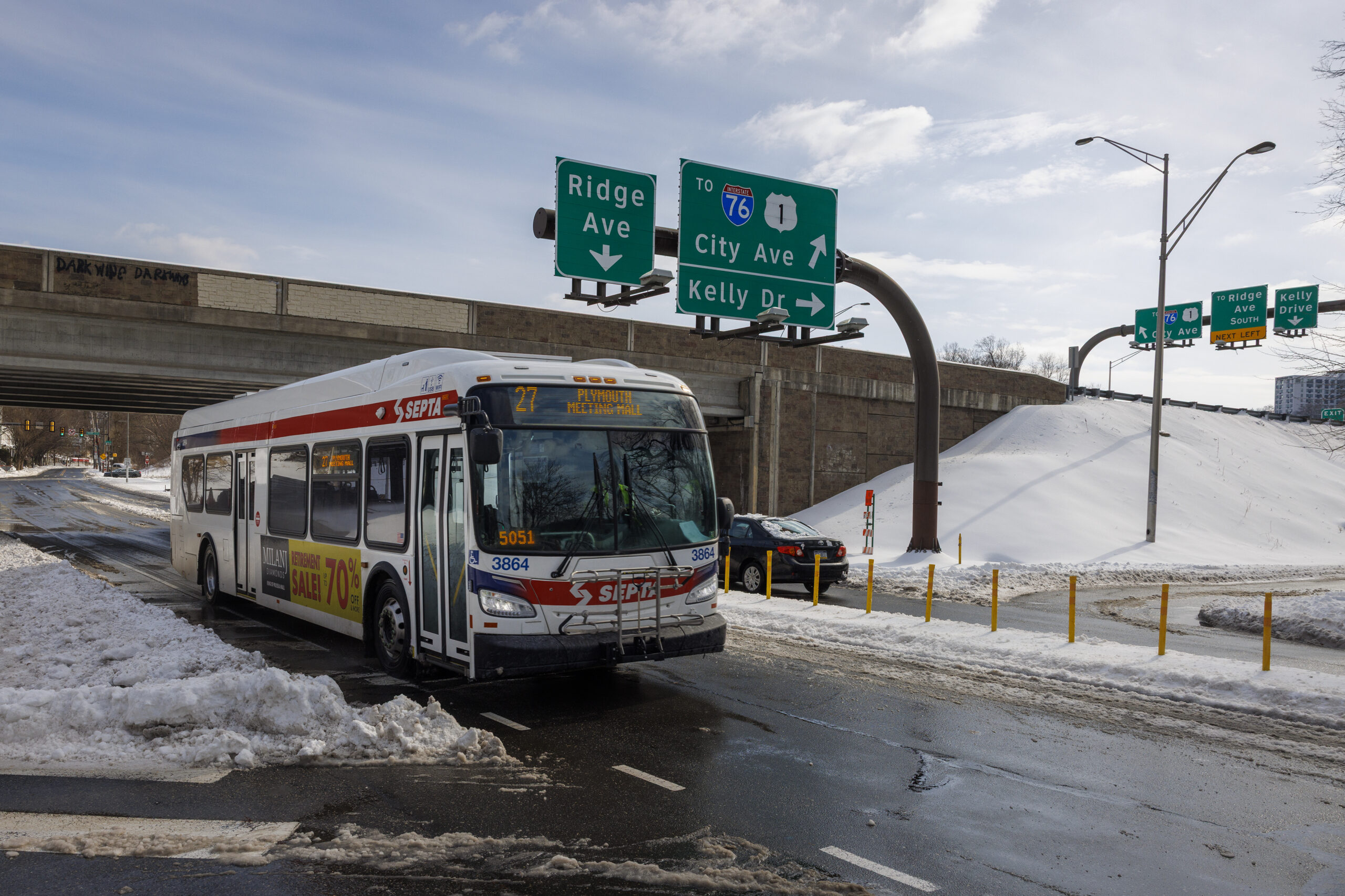
SEPTA 27 bus along Ridge Avenue heading to Wissahickon Station Monday.
Gov. Josh Shapiro lauded the efforts of PennDot workers during the weekend’s storm at a Monday news conference, noting the department was “busy all across the commonwealth” due to the inclement weather hitting essentially all of Pennsylvania’s 67 counties.
“Everybody felt an impact,” Shapiro said. The widespread nature of the storm, he added, was an unusual element, with snow totals surpassing 12 inches in some areas of the state.
PennDot secretary Mike Carroll said the department’s response to the storm was a team win, aided by agencies including the Pennsylvania State Police and Pennsylvania Emergency Management Agency.
“Folks across the spectrum did their part to help us really successfully deal with what is a very large winter storm these days,” Carroll said. “We’ve had a tremendous response to this storm.”
Prior to the storm’s arrival Sunday, PennDot issued vehicle restrictions for state roads that limited travel, and officials asked travelers to refrain from driving unless absolutely necessary. Shapiro said Monday that it appeared drivers had heeded those warnings, and asked that Pennsylvanians continue to stay home to allow cleanup to continue.
“Being off the road, being home today, is going to continue to allow PennDot to go out and clean up the last remaining roads and make sure that any of these spots that are wet won’t freeze up,” Shapiro said.
PennDot officials previously said that the department’s District 6, which encompasses the Philadelphia area, had roughly 70,000 tons of salt on hand to deal with the storm’s impacts. Bucks County, where Shapiro and Carroll spoke, started with roughly 14,000 of salt, and were down to an estimated 9,000 tons, though exact figures were not immediately available.
An additional 15,000 tons of salt were due to arrive in Bucks County this week, and officials said they anticipated no supply shortages.
“The department has plenty of salt on hand,” said PennDot assistant district executive for maintenance Tom Rogal. “We will not have any issues receiving and maintaining salt.”
Cheltenham and Upper Darby schools will be virtual Tuesday
The Cheltenham and Upper Darby school districtswill have virtual instruction Tuesday, as officials said road conditions were still too poor following the storm.
“After consulting with my team, many roads remain unpassable and are likely to refreeze after dusk, making bussing on Tuesday too risky,” CheltenhamSuperintendent Brian Scriven told families in a message Monday afternoon.
In Upper Darby, Superintendent Dan McGarry told families Monday afternoon that “unfortunately, we are going to need another day to continue to remove snow and ice.”
Many other Philadelphia-area districts have yet to announce Tuesday plans. The Philadelphia School District is expected to make an announcement at 3 p.m.
Scriven said Cheltenham administrators were “hopeful schools will return to normal operations as soon as possible,” and would communicate any additional schedule changes before Wednesday.
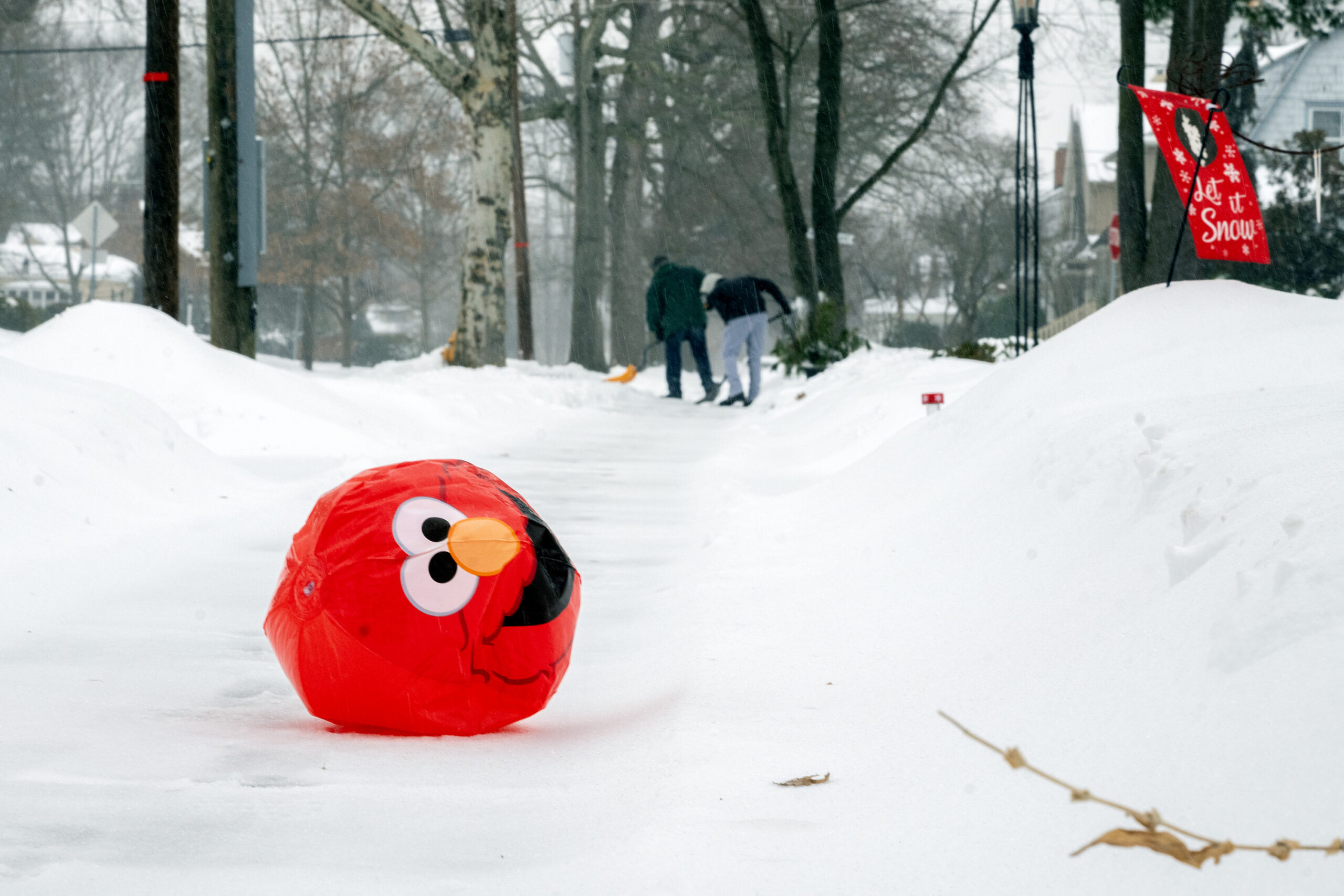
An inflatable Elmo ball rolls along a sidewalk Sunday.
Will Philadelphia schools be in session Tuesday, or give students and staff another day to dig out of the significant snowfall dumped on the region this weekend?
The district sent students’ Chromebooks home with them Friday, allowing for a possible day of virtual learning Tuesday. Though Monday is a true day off, Watlington said if the snow causes any further changes, he would pivot to virtual instruction.
At least one district has already announced plans for Tuesday. Haddon Heights, in South Jersey, will have a two-hour delay. Upper Darby school officials said they will call Tuesday plans “as soon as we are able to assess district facilities.”
Philly has a shot at breaking its 32-year zero-less streak
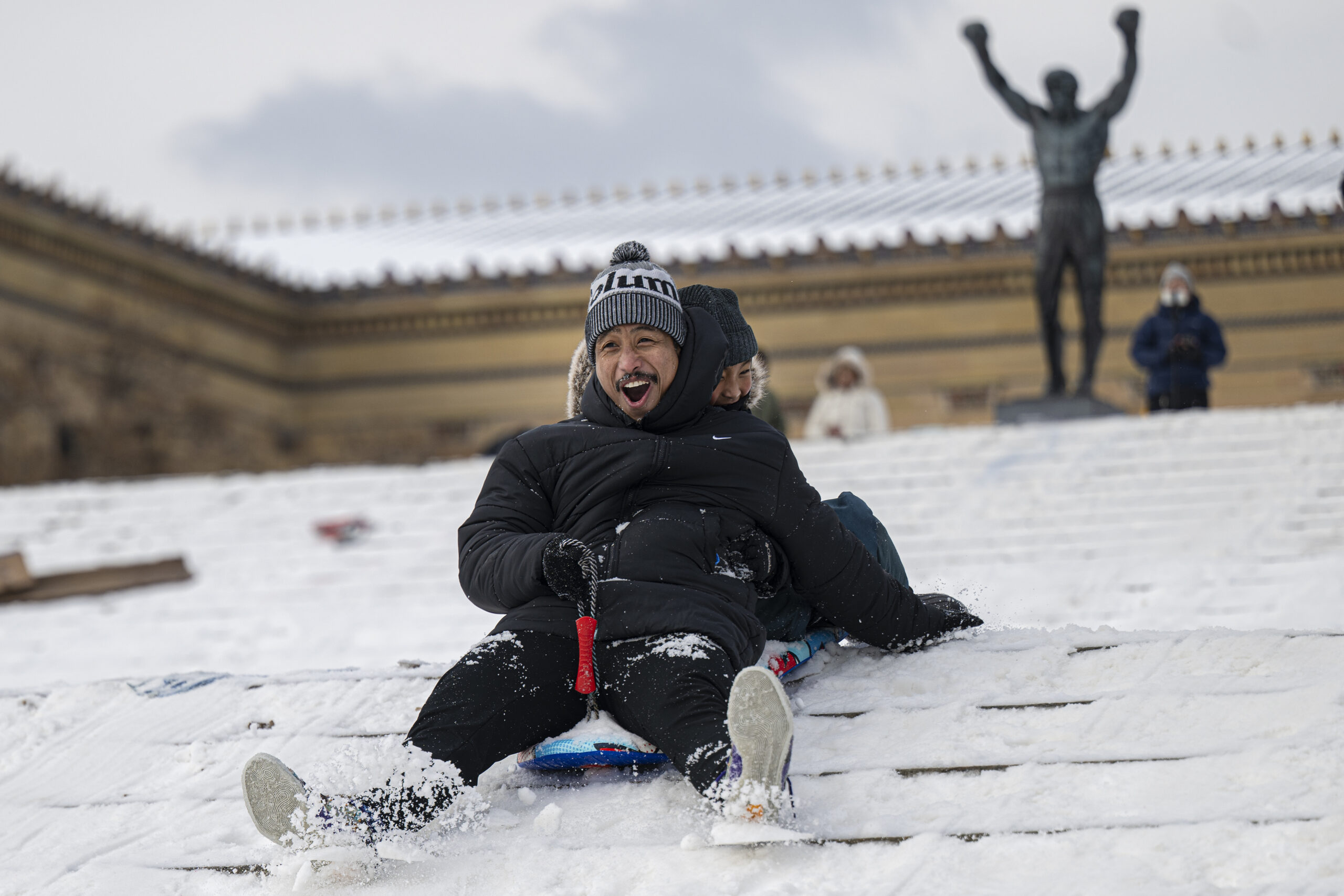
Yerome Rillera and his 9-year-old son, Kersey, sled down the steps of the Philadelphia Art Museum in Philadelphia Monday.
It was up to 27 degrees at noon at Philadelphia International Airport on Monday, but it looks like it’s not going to make it to 30, and this is going to be the warmest of the next several days.
In fact, temperatures may have trouble getting out of the teens until the weekend, and Philly has a shot at reaching zero for the first time in 30 years later in the week.
The forecast lows will be in the single digits all week, and down to 1 above on Friday, the National Weather Service says.
Mike Gorse, meteorologist in the Mount Holly office, said the stubborn snow cover “absolutely” would increase the chances of the airport reaching zero for the first time since January 1994.
Snow is ideal for daytime heating (such as it is) to soar into space after sunset. Clear skies and light winds would further enhance the cooling.
State of emergency in N.J. ends, all major highways cleared
New Jersey achieved “black top” on all state highways and interstates Monday morning as crews continued to treat highways, according to New Jersey Gov. Mikie Sherrill.
The New Jersey Turnpike, Garden State Parkway, and Atlantic City Expressway had also been cleared and will continue to be treated through the evening. Speed restrictions have been lifted.
But while the roads were no longer piled high with snow, Sherrill urged common sense for those who have to drive.
“These are wet roads, and the temperatures are below freezing, so be careful on bridges, on off and on-ramps,” she said.
So far, 85 bus lines connecting New York and Philadelphia are operational and most of the train lines should come online by the afternoon, though on a weekend schedule.
Sherrill said a state of emergency, which allowed New Jersey to access additional plows, salt, and other necessary equipment, ended at noon.
Speed limit restored on all major roadways across Philly region
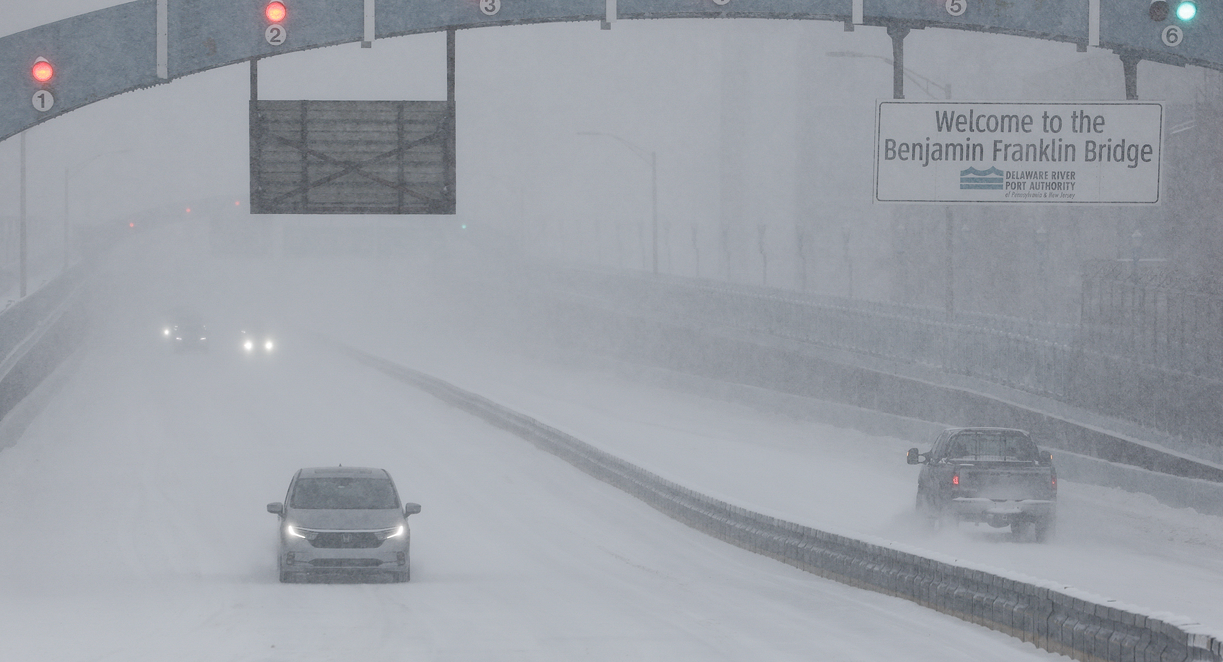
Cars enter and leave Philadelphia on the Benjamin Franklin Bridge Sunday.
All speed and vehicle restrictions have been lifted on all interstates and major highways across the Philadelphia region, PennDot announced Monday.
Speed restrictions on U.S. 30 and U.S. 202 in Chester County were lifted at noon, while restrictions on interstates and other major state highways were removed earlier in the morning.
PennDot said it would continue to treat roadways until all travel lanes and shoulders are clear.
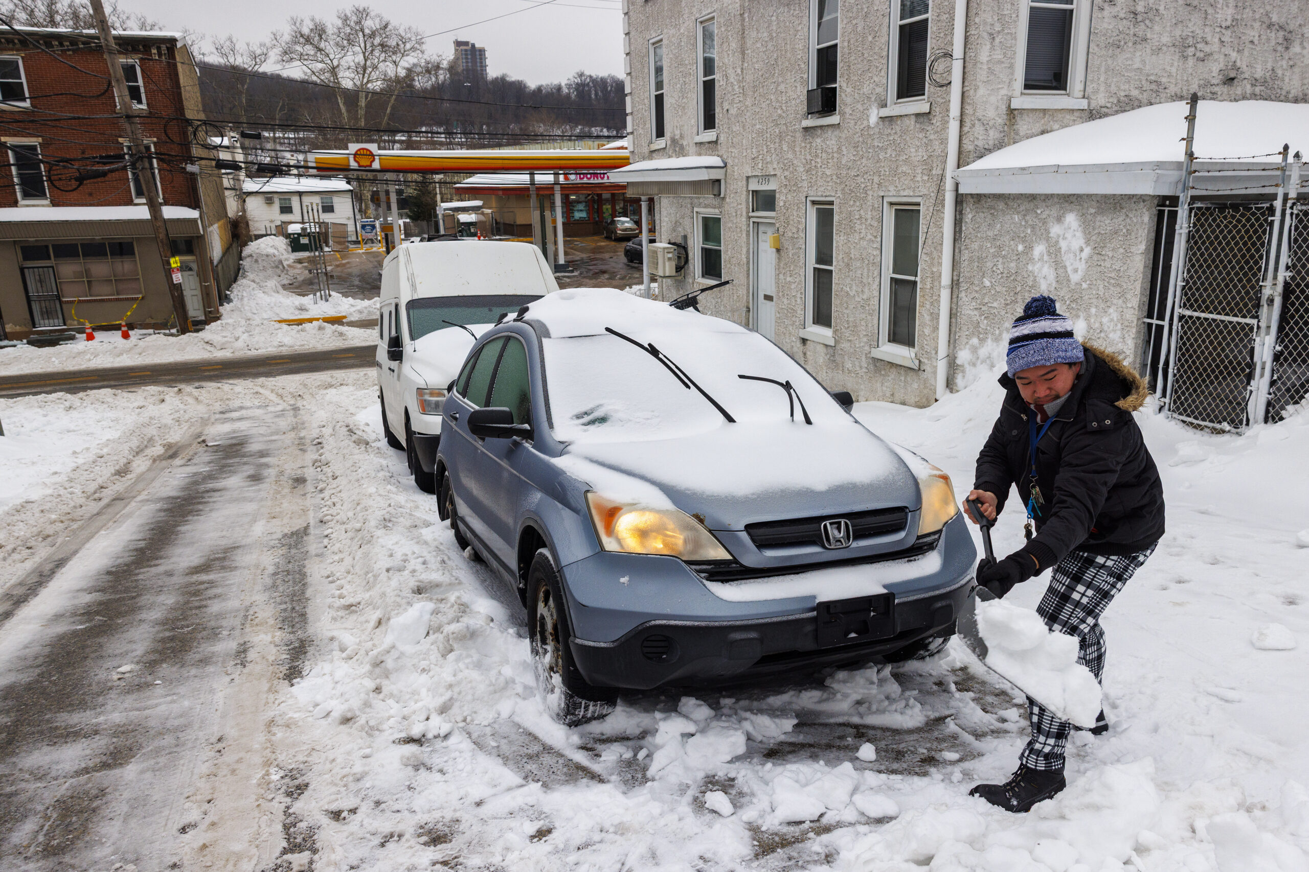
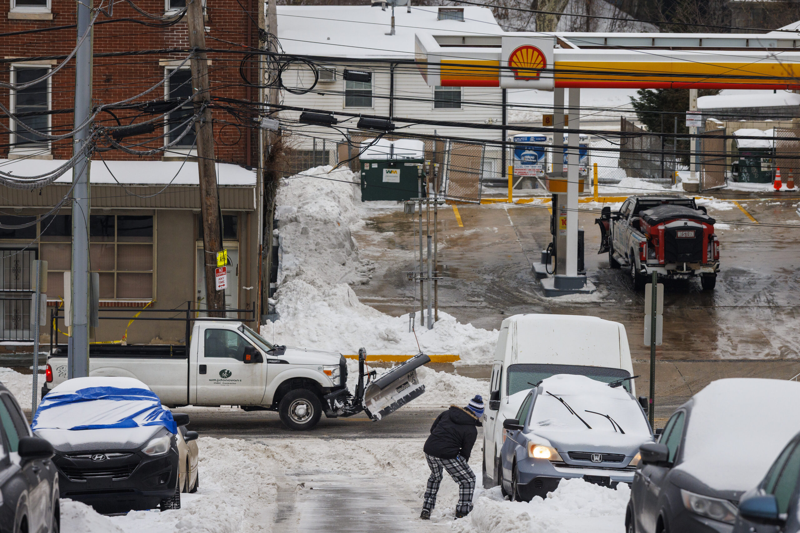
Connor Phan shovels out his car in the East Falls section Philadelphia Monday.
Anyone who has been out shoveling Monday can attest to the fact that not all snowfalls are created equal when it comes to getting their remains out of the way.
This one was especially challenging because it was chock full of ice chunks, the result of the harvest of sleet that feel after Sunday’s snow ended. Moving it required varying degrees of chipping, shaving, and boulder-hurling. Another challenge in this instance was the weight of it all.
Officially, 9.3 inches of snow was measured at Philadelphia International Airport, but given how much liquid was in the snowpack, the weight likely would have been similar to a snowfall of 12 to 15 inches of well-fluffed snow.
The snow-and-sleet melt at the airport came to about 1.1 inches. An inch of water over a square foot weighs an estimated 5.2 pounds.
On a 200-square-foot driveway — a 10 by 20 — what fell Sunday weighed about 1,144 pounds. On a 100-square-foot sidewalk — 5 by 20 — that would be 572 pounds.
In this case, given all the ice, it probably felt like more.
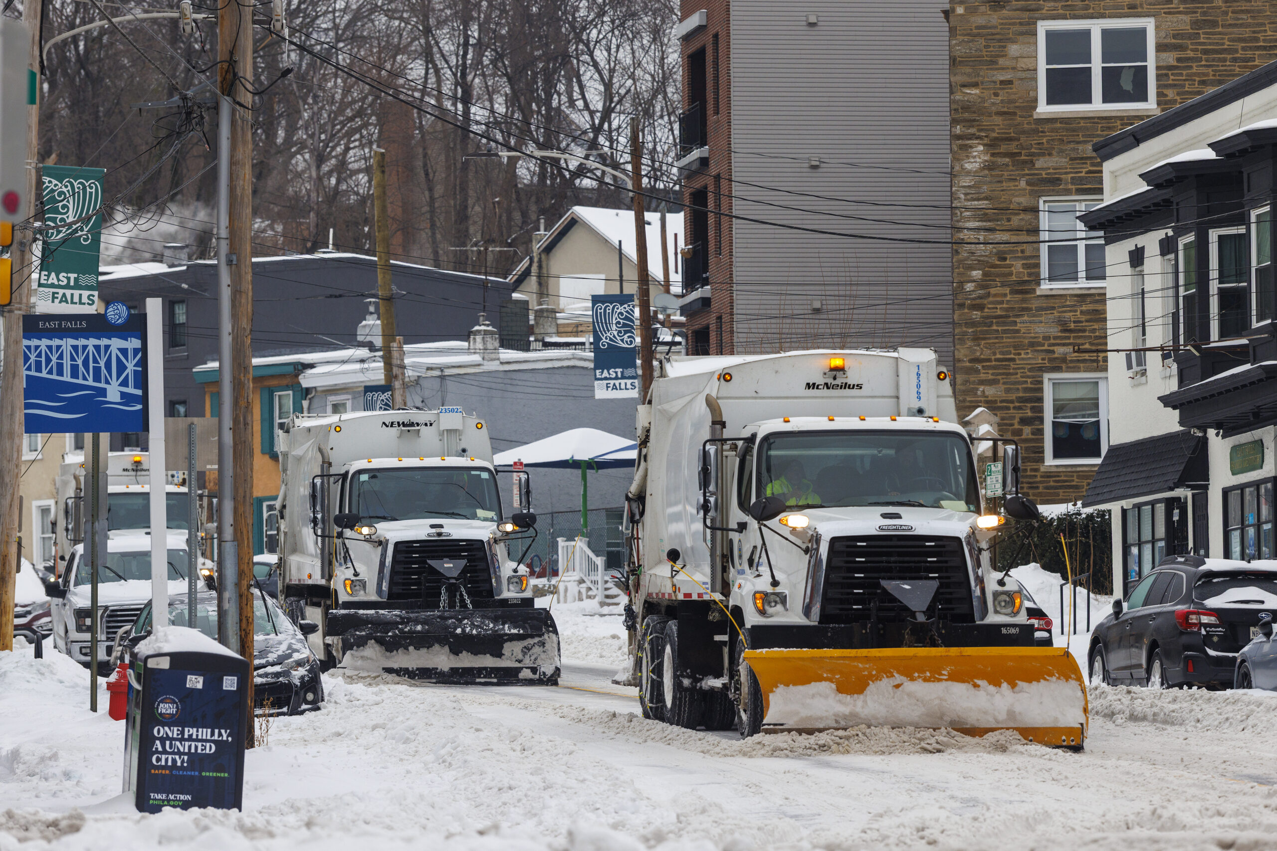
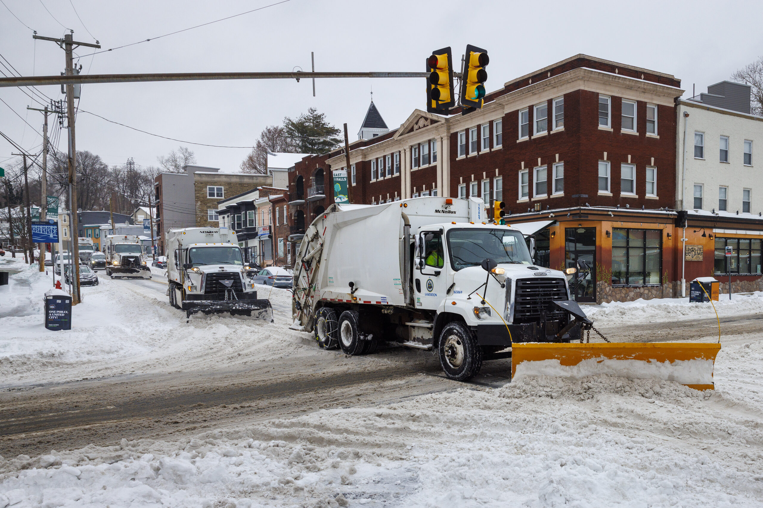
Trash trucks with plows clear Midvale Avenue near Ridge Avenue on Monday.
You can (likely) take your trash cans in if you’re expecting pick up Monday, as a slate of municipalities in Chester County are delaying trash and recycling collection services after the area was blanketed in snow this weekend.
Here’s a look at the delays municipalities have advertised online:
Avondale: Trash pick up moved to Tuesday.
Caln: Shifted by one day through the week, beginning Tuesday for Monday customers.
Kennett Square: Trash pick up moved to Wednesday.
East Brandywine: Trash pick up moved to Wednesday.
East Bradford: Trash pick up moved to Saturday.
East Caln: Trash pick up canceled this week.
East Fallowfield: Trash pick up moved to Saturday.
East Goshen: Shifted by one day through the week, beginning Tuesday for Monday customers.
Easttown: Trash pick up moved to Tuesday.
Elverson: Trash pick up moved to Wednesday.
Sadsbury: Shifted by one day through the week
Spring City: Trash and recycling delayed until Tuesday and Wednesday.
Upper Uwchlan: Trash and recycling for Monday will be delayed until at least Tuesday, but the township may have further updates.
Uwchlan: Trash pick up moved to Wednesday.
West Chester: Shifted by one day through the week.
West Goshen: No collection Monday; the township will provide updates on collection for Tuesday.
West Whiteland: Trash pick up moved to Wednesday.
Westtown: Shifted by one day through the week, beginning Tuesday for Monday customers and Friday for Thursday customers.
Three people die while shoveling snow in Lehigh County
In Lehigh County, about 60 miles northwest from Philly, at least three people died on Sunday attempting to clear snow, said the Lehigh County Coroner’s Office and Forensics Center in a statement Monday.
The National Weather Service recorded 11.8 inches of snow at the Lehigh Valley International Airport over the weekend.
The three who died ranged in age from 60 to 84, according to the statement. All were shoveling snow or using another method to remove snow before experiencing a medical emergency.
The coroner’s office isn’t disclosing more information about the people who died out of respect for the families, Coroner Daniel Buglio said in the statement.
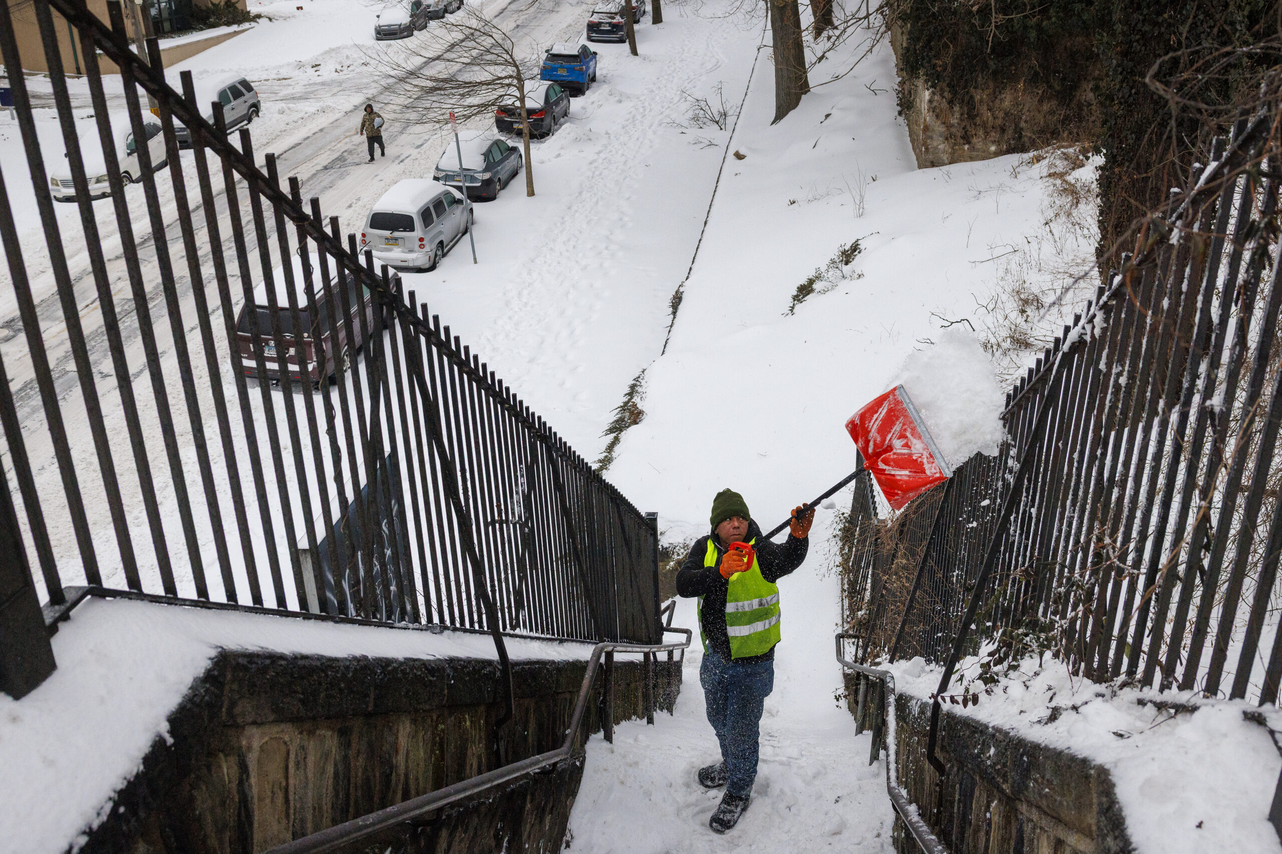
Miguel Estevez with Independent Construction clears the steps in the East Falls section of Philadelphia Monday. Connor Phan gets a start digging his car out. Residents begin to dig out on Calumet Street near Ridge Avenue Monday.
// Timestamp 01/26/26 8:28am
More cancellations at PHL
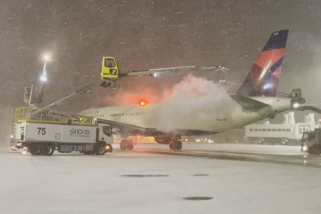
Crews deice a Delta plane as snow falls at Philadelphia International Airport Sunday.
At least 134 flights have been canceled going into or out of Philadelphia International Airport Monday, an improvement from the 641 flights canceled during Sunday’s storm.
The airport also reopened all its security checkpoints Monday morning, according to a spokesperson. American Airlines is asking its passengers to use A-West, B-C and F ticketing Monday. A-East is closed for American passengers only.
Across the country, more than 1,000 flights have been canceled Monday, according to Flight Aware, with airports near New York City and the Washington, D.C., experiencing the brunt of the delays.
Travelers are encouraged to check with their airlines for the latest flight information.
A trash truck with plow clearing Midvale Avenue in the East Falls section of Philadelphia Monday.
Trash and recycling collections are suspended in Philadelphia on Monday. Collections will be one day behind for the rest of the week.
Areas of the city that receive two trash collections per week, like Center City, South Philadelphia, and North Philadelphia, will only have one this week. Residents should expect collection delays as the crews navigate the snow and ice.
Residents who can’t wait until collection to hold their trash can drop them off at one of the city’s six sanitation convenience centers, open Monday through Saturday, 8 a.m. to 6 p.m.
SEPTA riders board the 47 bus at Eighth and Market Streets Sunday.
After shutdowns across the system Sunday, SEPTA said it planned to gradually restore service Monday.
Service on all Regional Rail, bus, Access, and Metro routes T and G remained suspended Monday morning.
When it is safe to do so, Regional Rail will operate on a Saturday schedule, while bus and Metro will operate on a Monday schedule.
PATCO trains are operating on a delayed snow schedule Monday, with service every 15 to 20 minutes.
NJ Transit service on all light rail systems resumed Monday morning. The agency planned to gradually ramp up bus and Access Link service throughout the day, as road conditions allow.
Pedestrians try to navigate Gay Street as snow falls in West Chester, Pa. Sunday.
It officially snowed 9.3 inches in Philadelphia, according to the National Weather Service.
The service said 9.1 inches of snow and sleet was topped with an additional 0.2 inches overnight. That’s officially the most snow to drop in Philadelphia since a January 2016 blizzard, which dropped 22.4 inches onto the city.
Allentown ended with 11.8 inches, while Trenton ended up with 8.9 inches.
Here are totals from across the region as of 8 p.m. Sunday, so they don’t include whatever was added by freezing rain overnight.
window.addEventListener(“message”,function(a){if(void 0!==a.data[“datawrapper-height”]){var e=document.querySelectorAll(“iframe”);for(var t in a.data[“datawrapper-height”])for(var r,i=0;r=e[i];i++)if(r.contentWindow===a.source){var d=a.data[“datawrapper-height”][t]+”px”;r.style.height=d}}});window.addEventListener(“message”,function(a){if(void 0!==a.data[“datawrapper-height”]){var e=document.querySelectorAll(“iframe”);for(var t in a.data[“datawrapper-height”])for(var r,i=0;r=e[i];i++)if(r.contentWindow===a.source){var d=a.data[“datawrapper-height”][t]+”px”;r.style.height=d}}});
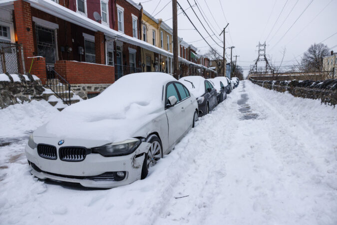
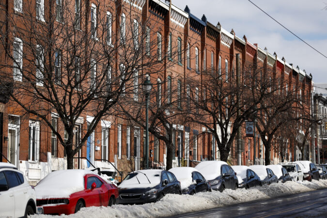
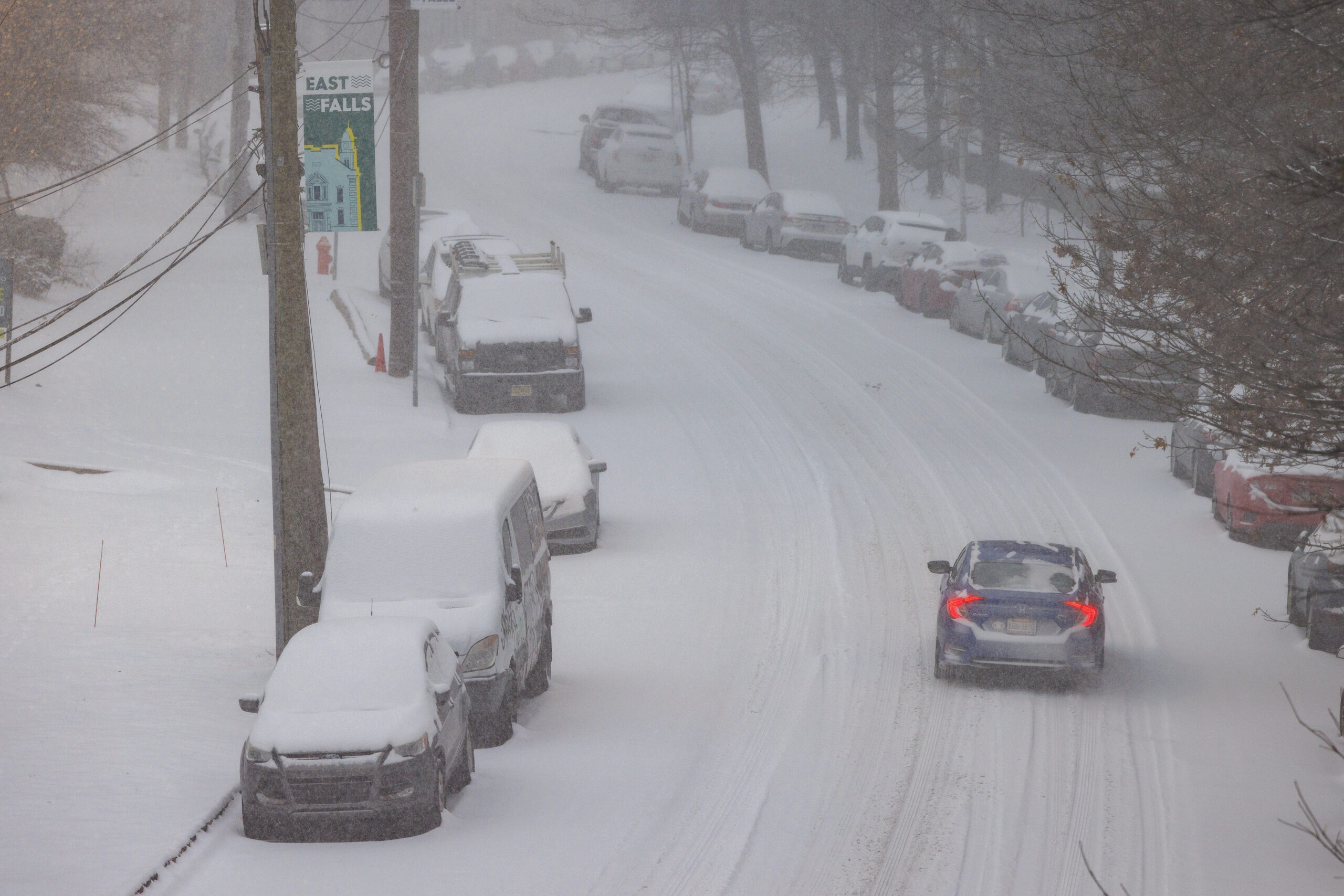
Snow-covered cars line Cresson Street in the East Falls section of Philadelphia on Monday.
Across the Philadelphia region, the ground remains covered with a mixture of snow and sleet, all given a shiny finish with some overnight freezing rain.
The melt is going to take its good old time.
Temperatures Monday are expected to be in the upper 20s, with wind chills making it feel at times closer to 0 degrees.
Then, it’s going to turn colder.
Highs in Philly will struggle to reach 20 degrees Tuesday through Saturday, with overnight lows in the single digits.
“We’re going to have a rather glacial snowpack for the foreseeable future,” said Alex Staarmann, meteorologist with the National Weather Service in Mount Holly.
The next several days should be dry, said Tom Kines, senior meteorologist with AccuWeather. Some talk is brewing about a storm threat late next weekend or early in the week, but that can wait for another day.
All things considered, a trauma-free snow day in Philly
David Friedman (center) pulls his sons Noah, 5, (left) and Zachary, 3, after they went sledding at the Society Hill Towers Sunday.
For the abject unpleasantness of the weather Sunday, the region for the most part appeared to be trauma-free.
That probably had something to do with the fact that it was indeed, Sunday,and that the storm may have set an unofficial record for a pre-event drumbeat.
Computers had been on to something big happening for about a week, at one point suggesting historic amounts of snow for Philly. The anticipation and anxiety evidently were major boons to local supermarkets — where carb shortages and human stampedes were reported — and hardware stores.
In the end, the storm did unfold pretty much as the late-week forecasts suggested, with a thump of heavy snow in the morning with several inches accumulating.
One not-so-mild surprise was the cold, with temperatures during the day Sunday several degrees below forecasts.
The cold had a benefit: It resulted in a dry, powdery snow, said Tom Kines, senior meteorologist with AccuWeather. That robbed the region of that postcard look as the moderate winds were able to shake it off the trees, but it also reduced the power-outage potential.
For those who have endured long power outages, it very likely was worth the aesthetic deprivation.
When the snow turned to sleet during the late morning, temperatures were still in the teens, and the ice balls accumulated on the snowpack, adding unwanted weight.
The ice also will add endurance to the snowpack, meteorologists said. Snowflakes can out-melt ice anyway. So forget the yard work for a while.
// RelatedLink Text: Top January storms URL: https://www.inquirer.com/weather/philadelphia-snow-top-10-january-snowfall-totals-snowstorms-history-20260124.html
Hours of percussive sleet layered a nasty icing on Philadelphia’s biggest snowfall in 10 years Sunday, and it may be some time before bare ground resurfaces in the region, if not normality.
“We’re going to have a rather glacial snowpack for the foreseeable future,” said Alex Staarmann, meteorologist with the National Weather Service in Mount Holly.
This is not the stuff of postcards.
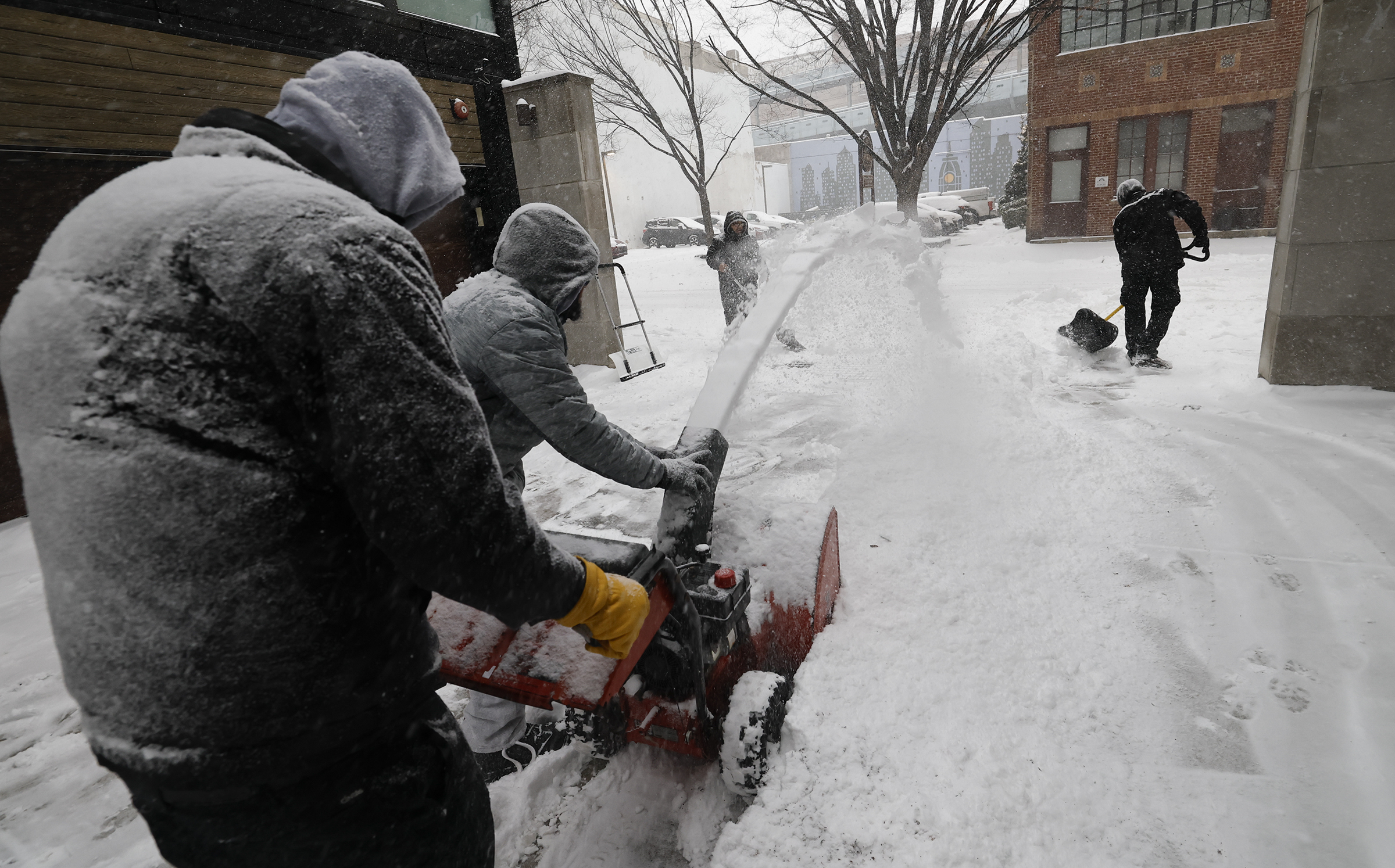
Michael Thompson (right) and Jonathan Ahmad clear snow Sunday in Old City.
Officially 9.1 inches of snow was measured at the unusually quiet Philadelphia International Airport, with similar amounts reported at some locations in the neighboring counties, as temperatures were stuck in the teens around Philly. Skippack, Montgomery County, reported just over a foot. For Philly, it also was a record for a Jan. 25.
Late in the morning, the snow flipped over to sleet, which continued in the evening and added to accumulations through the region, including an additional 2.5 inches at the weather service Mount Holly office.
Sleet — liquid that freezes before it lands — counts as snow in official measurements. In some places it fell at the rate of 0.5 inch an hour, the weather service said, an extraordinary rate for sleet.
And shovelers beware: That mess may weigh as much as a foot or more of pure snow. Besides, we may be out of practice. This was the most snow since the 22.4 inches of Jan. 22-23, 2016.
Along with sleet, some freezing rain — liquid that freezes on contact with a surface — was possible Sunday night, said Nick Guzzo, meteorologist at the National Weather Service in Mount Holly.
However, only scattered power outages, a function of the unusual behavior of a potent but peculiar storm that wrought a familiar set of disruptions and inconveniences.
At the airport, 651 of 672 flights were canceled Sunday, said spokesperson Heather Redfern, with the last departure at 10:30 a.m.
SEPTA suspended Regional Rail and bus service at 2 p.m. Sunday. Schools decided preemptively to close on Monday. Speeds were reduced on highways. Mayor Cherelle L. Parker advised everyone to stay in their houses and out of their cars.
Luis Nova digs his car out of his plowed-in space in an otherwise empty parking lot at the Westmont PATCO station in Haddon Township onSunday. Nova left his car there last Friday, and was in Philadelphia all weekend helping friends move and going to a goodbye party. He spent the morning sledding with friends in Clark Park in West Philadelphia, Nova said. “I knew what I was signing up for and was ready. I left all my equipment to get myself out. I spent four years in Rochester [New York] so I have a little experience with this. The only thing I’m missing is the kitty litter I usually keep in case I have to put it under the tires.”
Malls and other businesses called it a day. Blue Mountain decided to suspend ski operations until Monday at noon — and when was the last time a ski outfit shut down because of snow, of all things?
All things considered, a trauma-free day
For the abject unpleasantness of the weather Sunday, the region for the most part appeared to be trauma-free.
That probably had something to do with the fact that it was indeed, Sunday,and that the storm may have set an unofficial record for a pre-event drumbeat.
Computers had been on to something big happening for about a week, at one point suggesting historic amounts of snow for Philly. The anticipation and anxiety evidently were major boons to local supermarkets — where carb shortages and human stampedes were reported — and hardware stores.
In the end, the storm did unfold pretty much as the late-week forecasts suggested, with a thump of heavy snow in the morning with several inches accumulating.
One not-so-mild surprise was the cold, with temperatures during the day Sunday several degrees below forecasts.
The cold had a benefit: It resulted in a dry, powdery snow, said Tom Kines, senior meteorologist with AccuWeather. That robbed the region of that postcard look as the moderate winds were able to shake it off the trees, but it also reduced the power-outage potential.
For those who have endured long power outages, it very likely was worth the aesthetic deprivation.
When the snow turned to sleet during the late morning, temperatures were still in the teens, and the ice balls accumulated on the snowpack, adding unwanted weight.
The ice also will add endurance to the snowpack, meteorologists said. Snowflakes can out-melt ice anyway. So forget the yard work for a while.
The sleet was likely to yield to freezing rain Sunday evening along and near the I-95 corridor, the weather service said, perhaps adding up to 0.2 inches of ice, especially south and east of the city.
The precipitation was due to shut off during the early-morning hours of Monday. Then, the melt is going to take its good old time.
Temperatures Monday are expected to be in the upper 20s.
Then, it’s going to turn colder.
Highs in Philly will struggle to reach 20 Tuesday through Saturday, with overnight lows in the single digits.
The next several days should be dry, said Kines. Some talk is brewing about a storm threat late next weekend or early in the week, but that can wait for another day.
Staff writer Michael Klein contributed to this article.
The action inside the gates of a Department of Streets yard in North Philadelphia hours before impending snow looks like a ballet.
An ensemble of tri-axle dump trucks wait in the wings (behind an orange traffic cone). Center stage (a salt dome), the excavator scoops up tons of rock salt in its jaws. The first truck makes its entrance and pirouettes (a three-point turn), while the excavator stretches its long arm, unloading heaps of salt into the truck bed. Then, a trumpet (the “beep” of a car horn) ushers the dump truck off (out through the yard’s gates).
“This is a matter of life and death in some cases if we don’t get this right,” Carlton Williams, director of the Office of Clean and Green Initiatives, said of the city’s road operations at a news conference Sunday. “We’re fighting it continuously.”
Tackling this snow event is a vast and complicated system, requiring a revolving cast of roughly 600 pieces of equipment and more than 1,000 employees, including contractors, and people and vehicles — like compactor trash trucks with plows attached — pulled in from other departments, officials said. It also calls for some improv, moving and adjusting with the ever-changing weather. This dance is sometimes more akin to organized chaos than choreography.
The curtain call time was 10 p.m. Saturday at the North Philadelphia yard for crews assigned to 151 different routes on the primary thruways, like Broad Street. At 11 p.m., the residential fleet — which handles 133 routes on smaller secondary and tertiary roads — clocked in. More staff were scheduled to arrive at staggered times throughout the storm.
There are roughly a hundred back-end staff working behind the curtain: They are the choreographers, tasked with managing crews, inputting data, monitoring street camera footage, and responding to phone calls or issues. They are in it for the long haul, prepared to spend days in front of a computer armed with spare clothes, a stockpile of food, caffeine, and personal hygiene products.
The drivers are assigned routes and vehicles, then fill up with salt — of which there were roughly 30,000 tons, or more than 66 million pounds, in storage Saturday night. The trucks leave the yard and typically head to the top of their route and await the OK to start plowing.
According to Williams, crews had been clearing since 5 a.m. Sunday. Snow must be expeditiously removed from the streets before salt can be spread. And with this storm, there was limited timing to get that done before the precipitation turned icy and whatever was on the ground froze. Just after noon, the snow was seemingly over, giving way to sleet.
Officials also deployed “lifting operations” Sunday afternoon to scoop up large snow piles amassed in the densest neighborhoods and deposit them elsewhere. One option was a trailer-sized snow melting machine, which liquefies 135 tons of snow per hour
It may not approach their magnitudes, but Sunday’s snow-and-ice cold brew is expected to bear eerie similarities to some of Philly’s historic winter storms and perhaps rival them for disruption.
By 7 a.m., up to 3 inches had been reported around the region, with heaviest amounts to the south where the snow started earlier.
Officially, at Philadelphia International Airport, 1.6 inches had been measured, already making this the city’s biggest official total of the month. But Center City trumped it at 1.8.
From 8 to 10 inches was expected around the city before the snow mixes with sleet and possibly freezing rain during the afternoon, said Nick Guzzo, a meteorologist at the National Weather Service Office in Mount Holly. All that is subject to change, of course.
As for the potential mixing, “pick your poison,” said Guzzo’s colleague Mike Lee.
The office has posted winter storm warnings for the entire region, joining offices from New Mexico to Maine.
A crew from northern Illinois works to restore power at Broad Street and Warren Avenue in Malvern after the February 2014 ice storm.
The precipitation is due to shut off early Monday, but by then it may be a case of welcome to ice station Philly.
Nothing that falls is going to melt, as temperatures will get no higher than the 20s Sunday and may not see 30 for the rest of the week
Affirming their faith in the forecasts, Philadelphia, New Jersey, and Pennsylvania have declared emergencies. If you have plans the next few days, don’t count on them happening, and some kids might be able to put off homework for a few days.
Perhaps of more interest to some parties, Pennsylvania announced that all its liquor stores will be closed Sunday, and the Girl Scouts have pushed back their cookie-sale dates all the way to the spring equinox. (At least some of the bars and churches may be open.)
How much for Philly?
On Saturday, the National Weather Service was sticking with 8 to 10 inches for the immediate Philly area, said meteorologist Amanda Lee, with less to the southeast. AccuWeather Inc. was calling for 6 to 10 inches.
A lot of that would fall during a “front-end thump,” said AccuWeather meteorologist Elizabeth Glenny. Once the mixing begins, accumulation rates would back off.
While people understandably want to know how many inches of snow are going to land, that is almost always difficult to answer, meteorologists say, especially in a storm of this nature.
In this case, snow amounts are dependent on a coastal storm that had not yet formed Saturday and on what might happen in parts of the atmosphere that are not well-observed.
Temperatures in the bottom 5,500 feet of the atmosphere over Philly are expected to remain below freezing, said AccuWeather senior meteorologist Tom Kines, but computer models insist that a warm layer in the higher atmosphere would result in the changeover.
That warmth would be imported from the Atlantic Ocean by the strong onshore winds from the northeast generated by the storm — it’s not for nothing that these things are called nor’easters.
Another wild card would be if the snow is heavy enough that it could survive the warm layer and delay the changeover.
But the mixing of sleet, which is liquid that remains frozen in its trip through the atmosphere, and freezing rain, liquid that freezes on contact, is inevitable, forecasters said.
Freezing rain atop a snowpack is especially dangerous because it adds weight to vulnerable and snow-burdened power lines and tree branches. Sleet is polite enough to bounce off hard surfaces, but since it is pure ice, it is slower to melt.
Said the weather service’s Mike Lee, the mixing “just means we’re getting a different blend of horrors.”
Remembrance of Philly storms past
Mike Lee said that about 1.5 inches of liquid precipitation — the amount of melted snow and ice — was expected to fall during the storm, and whatever landed was certain to participate in becoming a massive block of ice.
And it is close to what fell during Philly’s last double-digit snow, the 22.4 inches of Jan. 22-23, 2016.
Market Street near 13th is mostly pedestrian traffic as snow falls over the region on Jan. 23, 2016.
In mid-March 1993, a foot of snow accumulated rapidly during a blizzard, followed by several hours of sleet and a flash freeze during the early morning. It created what a weather service meteorologist famously called an “Arctic landscape.”
The landscape Monday may be similar, but with one important difference.
That March storm occurred near the equinox, when the sun was about 50% stronger than it is this time of year, according to NASA data, and days were close to two hours longer. (Yes, those days are coming.)
The temperature bottomed out at 11 degrees Saturday morning, the lowest reading of the season at Philadelphia International Airport, and into the single digits outside the city.
Most airlines have canceled flights departing Sunday from Philadelphia International Airport. By late Saturday afternoon, there were 502 canceled flights into or out of the airport, according to the city.
Temperatures are expected to get no higher than the mid-20s Sunday and Monday. And then it’s going to get colder, with daytime highs no better than the low 20s, and nights in the single digits.
Philly’s biggest snow in five years has an icy finish, and it isn’t going anywhere soon
George Lynch, 11, slides on his stomach down 2nd Street in the Society Hill neighborhood Sunday.
Hours of percussive sleet layered a nasty icing on Philadelphia’s biggest snowfall in five years Sunday, and it may be some time before bare ground resurfaces in the region, if not normality.
This was not the stuff of postcards.
Officially 7.4 inches of snow was measured at unusually quiet Philadelphia International Airport, with similar amounts reported in the neighboring counties, as temperatures didn’t get out of the teens during the day anywhere near Philly.
And shovelers beware: That mess may weight as much as 18 inches of pure snow. Besides, we may be out of practice. This was the most snow since the 81 inches of Feb. 2-3, 2021. Incidentally, that snowfall was the biggest in five years, in what has been a generally snow-deprived decade.
Forecasters say it is unlikely that the precipitation would flip back to snow, but some additional accumulation was possible, since sleet — liquid that freezes before it lands — counts as snow. In some places it was falling at the rate of 0.5 inches an hour, the National Weather Service said, an extraordinary rate for sleet.
Some freezing rain — liquid that freezes on contact with a surface — was possible Sunday evening, said Nick Guzzo, meteorologist at the National Weather Service in Mount Holly.
However, widespread power outages were unlikely, a function of the unusual behavior of a potent but peculiar storm that wrought a familiar set of disruptions and inconveniences.
A pedestrian walks under the Benjamin Franklin Bridge Sunday.
A far-reaching winter storm blanketed the Mid-Atlantic in an icy brew of snow and sleet Sunday, with preliminary totals nearing a foot in parts of New Jersey.
Philadelphia ranked near the top end of regional totals. A survey of five regional National Weather Service offices showed PHL’s total ranked 103rd of 565 reports made in the last six hours.
The Philadelphia metropolitan region generally received between four and nine inches of snow by early Sunday afternoon, according to National Weather Service reports.
Among the highest totals:
Pottstown – 9.5 inches
Norristown – 8.7 inches
Stowe – 8.5 inches
Lower Pottsgrove – 8.5 inches
New Hanover – 8.5 inches
Use the map and chart below to find preliminary snow totals in your area. Hover over dots on the map to reveal more information, or search for Philadelphia-area totals below.
window.addEventListener(“message”,function(a){if(void 0!==a.data[“datawrapper-height”]){var e=document.querySelectorAll(“iframe”);for(var t in a.data[“datawrapper-height”])for(var r,i=0;r=e[i];i++)if(r.contentWindow===a.source){var d=a.data[“datawrapper-height”][t]+”px”;r.style.height=d}}});window.addEventListener(“message”,function(a){if(void 0!==a.data[“datawrapper-height”]){var e=document.querySelectorAll(“iframe”);for(var t in a.data[“datawrapper-height”])for(var r,i=0;r=e[i];i++)if(r.contentWindow===a.source){var d=a.data[“datawrapper-height”][t]+”px”;r.style.height=d}}});
Russ Walters skies along Race Street in the Old City neighborhood Sunday. Pedestrians walk in the middle of a plowed but empty Haddon Avenue in downtown Collingswood. Mike Doveton and his daughters. Maya, 10, and Jaydan (hidden), 6, board a PATCO train with their sleds heading out to snow. A pedestrian uses their umbrella as snow falls on Race Street.
// Timestamp 01/25/26 1:41pm
Philly officially has its biggest snow in five years
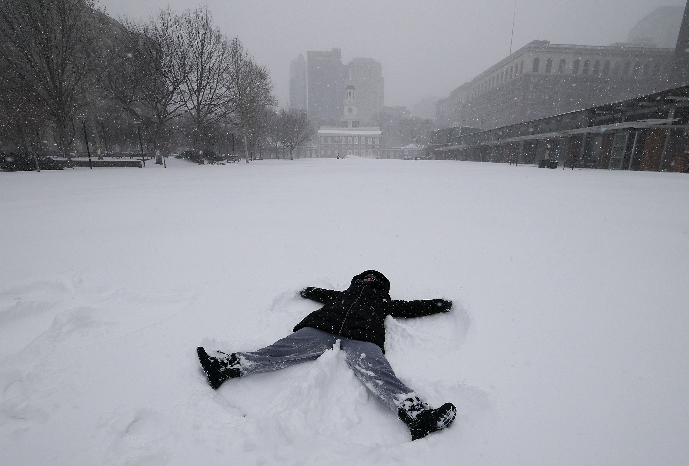
Julie Cohen makes a snow angel on the snow covered lawn at Independence Mall Sunday.
At 1 p.m., 7.4 inches of snow was measured at Philadelphia International Airport, the biggest snow in five years.
It also pushed the seasonal total to 13.8 inches, also the highest since the winter of 2020-21.
Given how cold it was during the snowfall, the regional totals didn’t show their usual wide variations, and were mostly in the 6- to 8-inch range. It’s possible that another inch could be added to the totals with the slow-accumulating sleet and a possible flip-back to light snow before the precipitation ends.
Some freezing rain also is possible late in the day or evening Sunday.
Two pedestrian brave the weather in Washington Square Park Sunday.
Temperatures at the surface remain in the teens, but sleet has routed the snow throughout the region.
Before the changeover, weather service spotters reported as much as 7 inches of snow. By convention, spotters measure snow before changeovers, since sleet and rain compress the snowpack.
Sleet, which is liquid that freezes on the way to the surface, counts as snowfall, but it accumulates ponderously. A tenth of an inch of liquid will yield about an inch of snow, but it would take three times that to produce an inch of sleet.
The changeover is the result of a layer of warm air in the upper atmosphere imported from the ocean by the onshore winds of a potent coastal storm.
The sleet is due continue this afternoon, and freezing rain also remains a possibility before it all ends late tonight or early Monday, said Nick Guzzo, meteorologist at the National Weather Service Office in Mount Holly.
Whereas sleet and freezing rain hold down accumulations, he notes that they slow down the melting process.
Ice cubes take longer to melt than snowflakes.
Be careful shoveling. The whole frozen mess may feel like it weighs as much as 18 inches of snow.
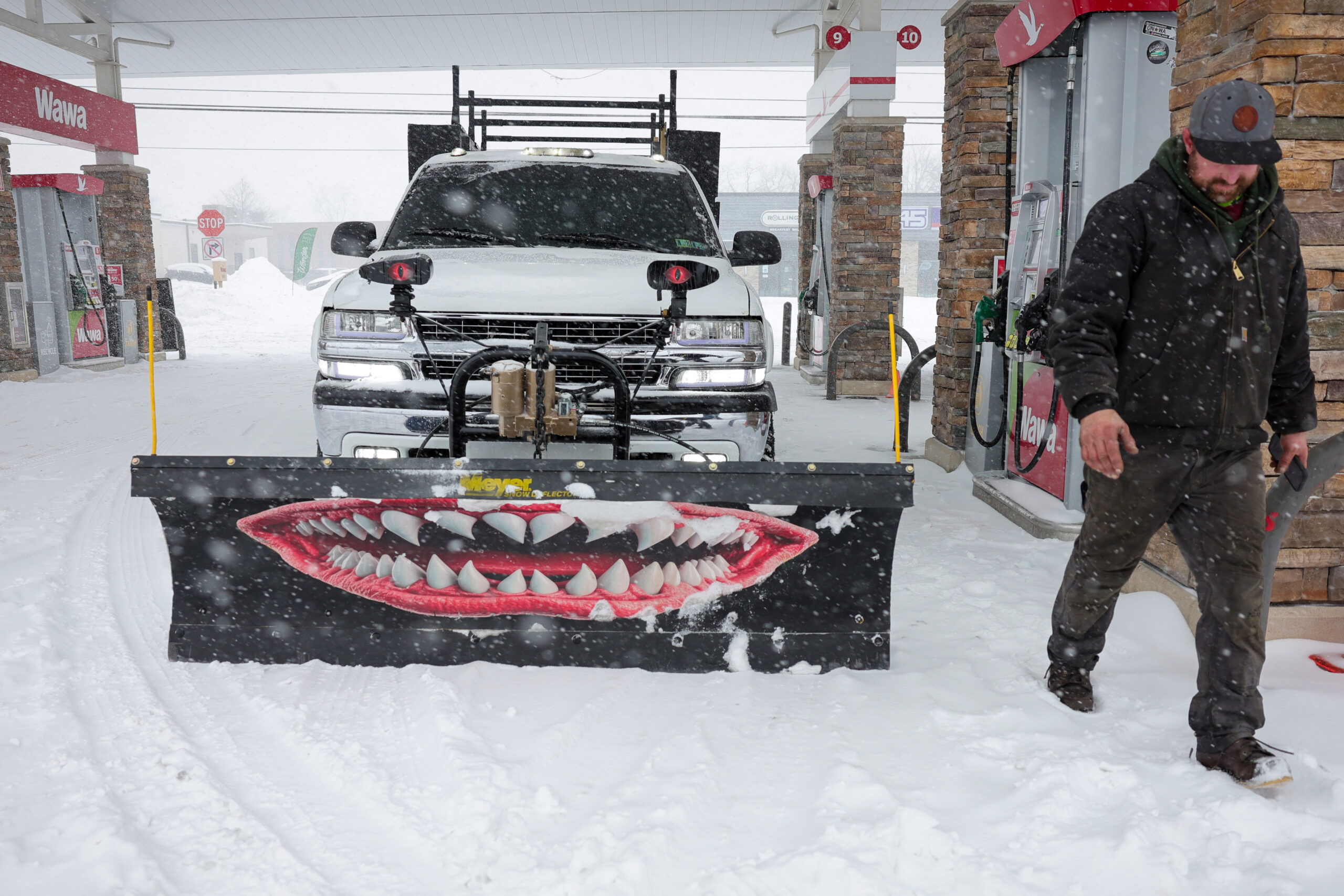
Mike Orazietti takes a break at Wawa from snowplowing in West Chester Sunday.
Five inches or more of snow have fallen in several locations in the Philly region, according to reports from National Weather Service trained spotters.
Here is the current list, which is likely to grow before sleet mixes in the next few hours:
Lehigh Valley International Airport cancels all flights Sunday
ABE is currently closed. Snow Ops continue as long as weather conditions allow for our team to work safely. We encourage travelers to check with their airline for flight delays or cancellations impacting Sunday / Monday's schedule. @69News@mcall@LVNewsdotcom@lehighvalleypic.twitter.com/MyTfQgElWI
Warming centers across Philadelphia will remain open during this storm as part of the ongoing Code Blue declaration, Philadelphia Mayor Cherelle L. Parker said a news conference Sunday.
24-hour warming centers are available for use, stocked with water, snacks, blankets, warming kits, and cots, said Crystal Yates-Galle, deputy managing director for health and human services.
Jonathan Ahmad (left) and Michael Thompson clear snow in Old City Sunday.
Carlton Williams, director of the office of clean and green initiatives, debunked a widespread piece of misinformation he said has been circulating online.
No, he said, the city is not handing out free salt, which it needs for roadways and events given the expected icy conditions.
“We must be smart about the work that we’re doing … because this is a matter of life and death if we don’t get this right,” Williams said at a news conference Sunday.
Williams said 4 to 7 inches of snow are expected to fall in the next couple hours, and it’s likely to freeze.
Meanwhile, in some parts of the city, accumulation will likely get to a point where snow must be removed from the neighborhood and deposited elsewhere.
The city has also invested in a snow melter “that delivers 135 tons an hour melting snow,” Williams said.
So far, that snow has fallen at a rate of two inches in two hours, said Dom Morales, director of the office of emergency management
Like other officials, he warned of treacherous conditions on the roads, noting that state’s 511PA website can provide details on road conditions.
“Whether you have four wheel drive, all wheel drive, the conditions are not favorable to being on the road right now,” Morales said.
He warned that sleet and freezing rain could create “invisible ice” and lead people to fall off their stoops even if they’ve shoveled earlier.
Morales encouraged people to keep their phones charged in case power goes out and check out the city’s website for details on how to respond to common scenarios including a downed tree, a water emergency, and a power outage.
“Philly we have a few more days ahead of us,” Morales said. “So please, let’s keep ready, and let’s take care of one another.”
Cherry Hill Mall, Christiana Mall close due to snow
Carmen Roman clears snow off her car at the Wawa on Haddonfield Road in Cherry Hill Sunday.
Both the Cherry Hill Mall and the Christiana Mall will be closed Sunday due to the snow.
In New Castle County, level 2 driving restrictions are in effect, meaning only essential personnel are permitted to drive.
In Philadelphia, Emilia, James Beard Award-winning chef Greg Vernick’s Italian restaurant in Kensington, has postponed its scheduled opening from Monday to Tuesday. Vernick told The Inquirer he was unsure if his fish supplier could deliver Monday.
Alex Peralta shovels a sidewalk on Gay Street in West Chester, Pa., Sunday.
Snow totals of 4 to 6 inches have been reported across the region as heavy snow continues.
Meanwhile, the sleet line continues to advance northward and had reached central Delaware by mid morning. The Washington, D.C., area flipped to sleet around 8:30 a.m., after about seven inches had accumulated.
Sleet is expected to join the party in the immediate Philly area by early afternoon, and that would put the brakes on further accumulations. Before that happens, it is possible that the city officially will have had its biggest snowfall in five years.
Parker warns Philly residents to stay home and off the roads
A pedestrian uses their umbrella as snow falls in the Old City neighborhood of Philadelphia Sunday.
Philadelphia Mayor Cherelle L. Parker asked people to stay home and off the roads if possible as the city grapples with a winter storm that has dumped about three inches so far — and is expected to turn to ice in the coming hours.
“This remains a significant winter storm, and there are rough travel conditions expected all day,” Parker said.
Parker said 1,000 city workers are clearing roads and sidewalks and battling snow with about 600 pieces of equipment, including triaxial dump trucks, loaders, sanitation compactors with plows attached, and pickup trucks.
“And this was a new one for me, Philadelphia, even ATVs have been deployed,” Parker noted.
Philadelphia remains under a snow emergency that began Saturday night at 9 p.m.. The city has no update on when it plans to lift the emergency.
The city has teams working in “an enhanced emergency posture” to address the needs of people affected by the bitter cold. The city has implemented 250 additional beds for those in need, Parker said. If residents see anyone in need of immediate help, they can call 215-232-1984.
SEPTA to suspend bus, regional rail service at 2 p.m.
A SEPTA Regional rail train heading through the East Falls section of Philadelphia Sunday.
SEPTA will suspend all bus and Regional Rail service at 2 p.m. Sunday, the agency announced.
As for trolley service, the T1 is suspended, the T3 is cutting back at 59th/Chester, and the T4 is cutting back at Island/Woodland, SEPTA said. The T2 and T5 are currently running regular service.
The Market-Frankford and Broad Street subway lines will continue to run. through the storm, the agency said. Crews have been assigned to keep station entrances, platforms, and sidewalks clean of ice and snow, as best they can.
A pedestrian walks across Race Street along 2nd Street in the Old City neighborhood of Philadelphia. Michael Thompson (right) and Jonathan Ahmad clear snow. Carmen Roman clears snow off her car after dropping her partner off at work at the Costco In Cherry Hill early Sunday morning.
// Timestamp 01/25/26 9:27am
$5 parking in Center City garages to avoid getting your car towed
A Philadelphia Parking Authority truck tows a car from South Broad Street, a snow emergency route, earlier this month.
As the snow covers everything in its path, parking on designated snow emergency routes is the fastest way to get your car towed.
To prevent this, the Philadelphia Parking authority is offering $5 parking for 24 hours in Center City garages until the snow emergency is lifted.
Philadelphia Family Court Garage (1503-11 Arch Street – Going south on 15th Street, enter the garage on the west side just after 15th & Cherry Streets)
Meters and time limit violations won’t be enforced until the emergency ends. But if you suspect your car was towed, call 215-686-SNOWor visit www.philapark.org/tow to locate it. A license plate number is needed.
PennDOT and Philadelphia Department of Streets are working hard plowing to keep highways and roads passable. Please avoid unnecessary travel so they have room to safely work. If traveling, use caution and give yourself at least 6 car lengths behind snow response equipment. pic.twitter.com/yATOdEnJqV
2 to 3 inches of snow have already fallen across the Philadelphia region.
Not that the bar was especially high, but officially Philly has had its biggest snowfall of the month, with 1.6 inches measured officially at the mostly dormant Philadelphia International Airport.
That tops the 1.1-inch report of last weekend. It also brings the seasonal total to 8, and one of the safer bets is that this winter will end up being snowier than the winter of 2024-25 – 8.1 inches.
By 8:30 a.m., amounts of 2.5 to 3 inches were common throughout the region.
The next official report from PHL is due at 1 p.m. For now, it is playing catch-up with the 1.8-inch reading at Rittenhouse Square.
Heavy snow arrives, with ice to follow. It all may stick around for a week or more.
Dog walkers and fresh snow along Cresson Street in the East Falls section of Philadelphia.
It may not approach their magnitudes, but Sunday’s snow-and-ice cold brew is expected to bear eerie similarities to some of Philly’s historic winter storms and perhaps rival them for disruption.
By 7 a.m., up to 3 inches had been reported around the region, with heaviest amounts to the south where the snow started earlier.
Officially, at Philadelphia International Airport, 1.6 inches had been measured, already making this the city’s biggest official total of the month. But Center City trumped it at 1.8.
From 8 to 10 inches was expected around the city before the snow mixes with sleet and possibly freezing rain during the afternoon, said Nick Guzzo, a meteorologist at the National Weather Service Office in Mount Holly. All that is subject to change, of course.
The precipitation is due to shut off early Monday, but by then it may be a case of welcome to ice station Philly.
Nothing that falls is going to melt, as temperatures will get no higher than the 20s Sunday and may not see 30 for the rest of the week
Snow falls in Manayunk. Several inches of snow have already fallen in Bear, Del. Snow covers the trees in Conshohocken, Montgomery County.
// Timestamp 01/25/26 8:11am
Cancellations piling up at PHL
Crews deice a Delta plane as snow falls at Philadelphia International Airport Sunday, Jan 25, 2026.
At least 641 flights have been canceled going into or out of Philadelphia International Airport Sunday, as a major snowstorm moves across the Northeast.
Due to the reduced number of flights, TSA agents will only be operating at checkpoints A-East, D/E, and F.
Travels are encouraged to check with their airlines for the latest flight information.
The National Weather Service is forecasting 8.5 inches of snow will fall in Philadelphia, followed by sleet and freezing rain.
On Saturday, the National Weather Service was going with 8 to 10 inches for the immediate Philly area, said meteorologist Amanda Lee, with less to the southeast. AccuWeather Inc. was calling for 6 to 10 inches.
A lot of that would fall during a “front-end thump,” said AccuWeather meteorologist Elizabeth Glenny. Once the mixing begins, accumulation rates would back off.
While people understandably want to know how many inches of snow are going to land, that is almost always difficult to answer, meteorologists say, especially in a storm of this nature.
In this case, snow amounts are dependent on a coastal storm that had not yet formed Saturday and on what might happen in parts of the atmosphere that are not well-observed.
Temperatures in the bottom 5,500 feet of the atmosphere over Philly are expected to remain below freezing, said AccuWeather senior meteorologist Tom Kines, but computer models insist that a warm layer in the higher atmosphere would result in the changeover.
That warmth would be imported from the Atlantic Ocean by the strong onshore winds from the northeast generated by the storm — it’s not for nothing that these things are called nor’easters.
Another wild card would be if the snow is heavy enough that it could survive the warm layer and delay the changeover.
But the mixing of sleet, which is liquid that remains frozen in its trip through the atmosphere, and freezing rain, liquid that freezes on contact, is inevitable, forecasters said.
Freezing rain atop a snowpack is especially dangerous because it adds weight to vulnerable and snow-burdened power lines and tree branches. Sleet is polite enough to bounce off hard surfaces, but since it is pure ice, it is slower to melt.
Said the weather service’s Mike Lee, the mixing “just means we’re getting a different blend of horrors.”
Midvale Avenue is covered in fresh snow in the East Falls section of Philadelphia.
Snow is forecast to accumulate rapidly Sunday morning, with temperatures in the teens and snowfall rates of one to two inches per hour.
Models were suggesting sleet could mix in as soon as early afternoon, said Tom Kines, senior meteorologist with AccuWeather Inc.
Temperatures in the bottom 5,500 feet of the atmosphere are going to remain well below freezing. However, as the coastal storm intensifies, its onshore winds from the northeast are forecast to import warmer air from over the ocean into the upper atmosphere, which would change the snow to sleet and rain Sunday afternoon and evening.
It’s possible the precipitation will flip back to all snow and accumulate maybe another inch early Monday, Staarmann said. But at that point it would have all the impact of drizzle in the ocean. The mass of snow and ice evidently will be vacationing in Philly for a while.
“It will stick around for a week, maybe two weeks,” Staarmann said.
Vehicle restrictions on Pa. highways now in effect
PennDOT implemented vehicle restrictions on Pennsylvania highways due to the storm
Vehicle restrictions aimed at limiting the number of cars on roads statewide during Sunday’s snowstorm are not in effect across Pennsylvania.
PennDot’s vehicle restrictions are instituted in a tiered system, with today’s coming in at tier four — the second-highest level. Under that tier, commercial vehicles are totally prohibited from using a number of interstates around Pennsylvania, as well as the Pennsylvania Turnpike.
“The decision to implement these restrictions was made with the intention of balancing safety for everyone on the roadway, including commercial drivers,” PennDot secretary Mike Carroll told reporters Friday at a news conference. “We will remove these restrictions as soon as conditions warrant.”
In addition to limiting the travel of vehicles like tractor trailers and commercial buses, PennDot’s restrictions also apply to school buses, motorcycles, RVs, and passenger vehicles that are towing trailers, Carroll added. None of those vehicles, he said, are permitted to use roadways while the restrictions are in place.
Officials urged motorists to stay home, noting the anticipated snowfall rate of one to two inches per hour, as well as the overall snowfall totals, will make keeping roads safe and clear difficult.
Restrictions, PennDot notes online, are evaluated hourly. Pennsylvania’s traveler information website, 511PA, keeps an up to date map of which roads are impacted by the restrictions, and Carroll recommended travelers check that website before heading out, should they absolutely have to.
“Stay home and watch the NFL games, despite the fact that the Eagles and Steelers are not playing,” Carroll said.
But as large and disruptive as this storm will likely be, it will have a difficult time cracking the list of the top January snowstorms in Philly history.
It would take 12.3 inches of snow for this latest storm to make its way on to the list of the snowiest January storms in Philly history. That would match a 1922 event dubbed the “Knickerbocker storm” because snow caused the collapse of the Knickerbocker Theatre in Washington, D.C., killing 98 people, which remains the worst natural disaster in the city’s history.
Here’s the full list of the Philly snowfalls of a foot or more in January history:
Saying “it’s been a while” since New Jersey faced a storm like the one being forecasted for Sunday and Monday, Gov. Mikie Sherrill urged state residents to stay off the roads and to not “commit to anything on Monday.”
Sherrill said in a press conference in Newark late Saturday afternoon that while “we’re tough” in New Jersey, “we have to be safe.” She declared a state of emergency starting 5 p.m. Saturday.
Sherrill said she was expecting snowfall to range from eight inches to 18 inches throughout the state. It will be a storm “the likes of which we haven’t seen in a decade,” Sherrill said.
The governor said extremely cold temperatures are expected to make things more difficult, and she suggested that people watch football and play board games with their children on Sunday.
“We are prepared for the moment, but we do need the people of New Jersey to stay safe,” she said.
The governor was accompanied by State Police Acting Superintendent Lieutenant Colonel David Sierotowicz, Department of Transportation Acting Commissioner Joseph Bertoni, and NJ Transit President and CEO Kris Kolluri.
With challenging conditions expected, Acting Attorney General Jennifer Davenport and the Division of Consumer Affairs warned sellers that price gouging New Jersey’s consumers during the declared state of emergency wouldn’t be tolerated.
Sellers can’t excessively increase prices (10% more than normal or higher) during a declared state of emergency, or for 30 days after the termination of the state of emergency, according to New Jersey law.
“As a former prosecutor, my administration will not tolerate price gouging, and we will be vigilant during this winter storm,” Sherrill said, adding that there’d be “zero tolerance for those who prey on New Jerseyans during this state of emergency.”
After the coldest morning of the winter, Philadelphia could experience more snow this weekend than it did during the entire winter of 2024-25, accompanied by a potentially nasty mix of ice.
The National Weather Service on Saturday was holding serve on its call for 8 to 12 inches in and around Philly, and those amounts may be tweaked depending on the best guesses on how much sleet and freezing rain enters the mix. AccuWeather Inc. was going with 6 to 10.
Subtle changes to accumulation forecasts are likely, but that merely would mean, “We’re just getting a different blend of horrors,” said Mike Lee, a meteorologist in the Mount Holly office.
One thing is certain: Whatever falls won’t melt. Temperatures dropped into single digits throughout the region, and got as low as 11 at the Philadelphia International Airport banana belt. . Temperatures won’t get above the mid-20s while anything is falling from the skies Sunday and early Monday.
The weather service has issued a profoundly predictable winter storm warning, in effect from 7 p.m. Saturday until 1 p.m. Monday.
Whatever the outcome, the storm still in its formative stage already has had significant impacts on the region and may have set an unofficial record for pre-storm buildup and preemptive closings.
Philadelphia Mayor Cherelle L. Parker declared a state of emergency for Sunday, as did Pennsylvania Gov. Josh Shapiro and New Jersey Gov. Mikie Sherrill. PennDot is imposing speed restrictions. SEPTA is expecting issues.
Some schools already were planning for multiple-day closings, as the snow and ice will be accompanied by one of the region’s more impressive cold snaps of the last several years.
Were it not for the storm, in fact, the cold might be getting headlines.
Wind chills Saturday morning are expected to drop below zero. Sunday’s high of 25 degrees may make it the warmest day of the week.
It is likely that layers of snow and ice will harden into a frozen mass that the January sun won’t be able to do a whole lot about.
As a public service, for now we will hold off on mentioning another potential storm threat.
The latest on the timing of the storm in Philly
While the weather service warning goes into effect 7 p.m. Saturday, flake sightings could hold off until daybreak Sunday, said Alex Staarmann, a weather service meteorologist.
Snow may accumulate rapidly Sunday morning with temperatures in the teens. Models were suggesting sleet could mix in as soon as early afternoon, said Tom Kines, senior meteorologist with AccuWeather Inc.
Temperatures in the bottom 5,500 feet of the atmosphere are going to remain well below freezing. However, as the coastal storm intensifies, its onshore winds from the northeast are forecast to import warmer air from over the ocean into the upper atmosphere, which would change the snow to sleet and rain.
It’s possible the precipitation will flip back to all snow and accumulate maybe another inch early Monday, Staarmann said. But at that point it would have all the impact of drizzle in the ocean. The mass of snow and ice evidently will be vacationing in Philly for a while.
“It will stick around for a week, maybe two weeks,” Staarmann said.
How much for Philly?
Just how much snow and ice would be on the ground remained unclear Friday. And it’s all but certain the projections are going to change. For the record, a grand total of 8.1 inches fell all of last season in Philly.
Louis Uccellini, former head of the National Weather Service and one of the nation’s most prominent winter-storm experts, said some later modeling was cutting back on the ice in areas west of the city, suggesting the possibility of higher snow amounts.
(function () {window.addEventListener(‘message’, function (e) { var message = e.data; var els = document.querySelectorAll(‘iframe[src*=”‘ + message.id + ‘”]’); els.forEach(function(el) { el.style.height = message.height + ‘px’; }); }, false); })();
“It’s not that we’re getting 2 to 4 [inches],” said Staarmann. “We’re going to get a lot of snow.”
However, some icing was a near certainty throughout the region.
The ice potential for the Philly region
The weather service is predicting a quarter-inch of freezing rain, which is probably about the last thing the people at Peco wanted to hear. Freezing rain is a greater threat to power lines and trees than sleet.
Yes, Peco is well aware of the storm and has crews on standby, said spokesperson Candace Womack.
Sleet develops when a partially melted snowflake or rain drop freezes on the way to the ground. It doesn’t accumulate efficiently like snowflakes. Freezing rain is rain that doesn’t turn to ice until it lands on a surface and freezes on contact.
During a winter storm, both hold down snow accumulations. Typically, an inch of liquid precipitation can yield a foot of snow. A similar amount of liquid would yield about 4 inches of sleet.
(function () {window.addEventListener(‘message’, function (e) { var message = e.data; var els = document.querySelectorAll(‘iframe[src*=”‘ + message.id + ‘”]’); els.forEach(function(el) { el.style.height = message.height + ‘px’; }); }, false); })();
Both can fall when surface temperatures are well below freezing, if the upper air is warm enough.
A big difference is that sleet bounces off surfaces, but ice gloms onto them, a menace to power lines and tree branches.
An ice storm resulted in over 700,000 Peco outages in 2014, a winter record. In that case, freezing rain came 18 hours after a heavy snowfall.
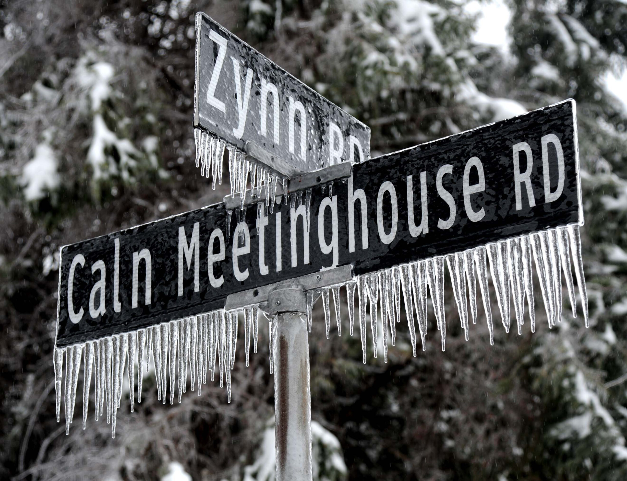
An overnight freezing rain storm swept through the Philadelphia region Feb. 5, 2014, leaving downed trees and power lines in its wake, along with icicles everywhere as evidenced by these streets signs in Downingtown.
When will the snow and ice disappear?
The snow and ice are going to be around for as far as the computer models can see. Temperatures may not get above freezing the rest of the month, as NOAA’s Climate Prediction Center has the odds favoring below normal temperatures through Feb. 6.
The U.S. model was indicating another storm threat for around Groundhog Day, a week from Monday, Uccellini said.