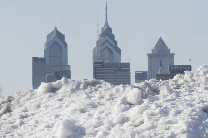
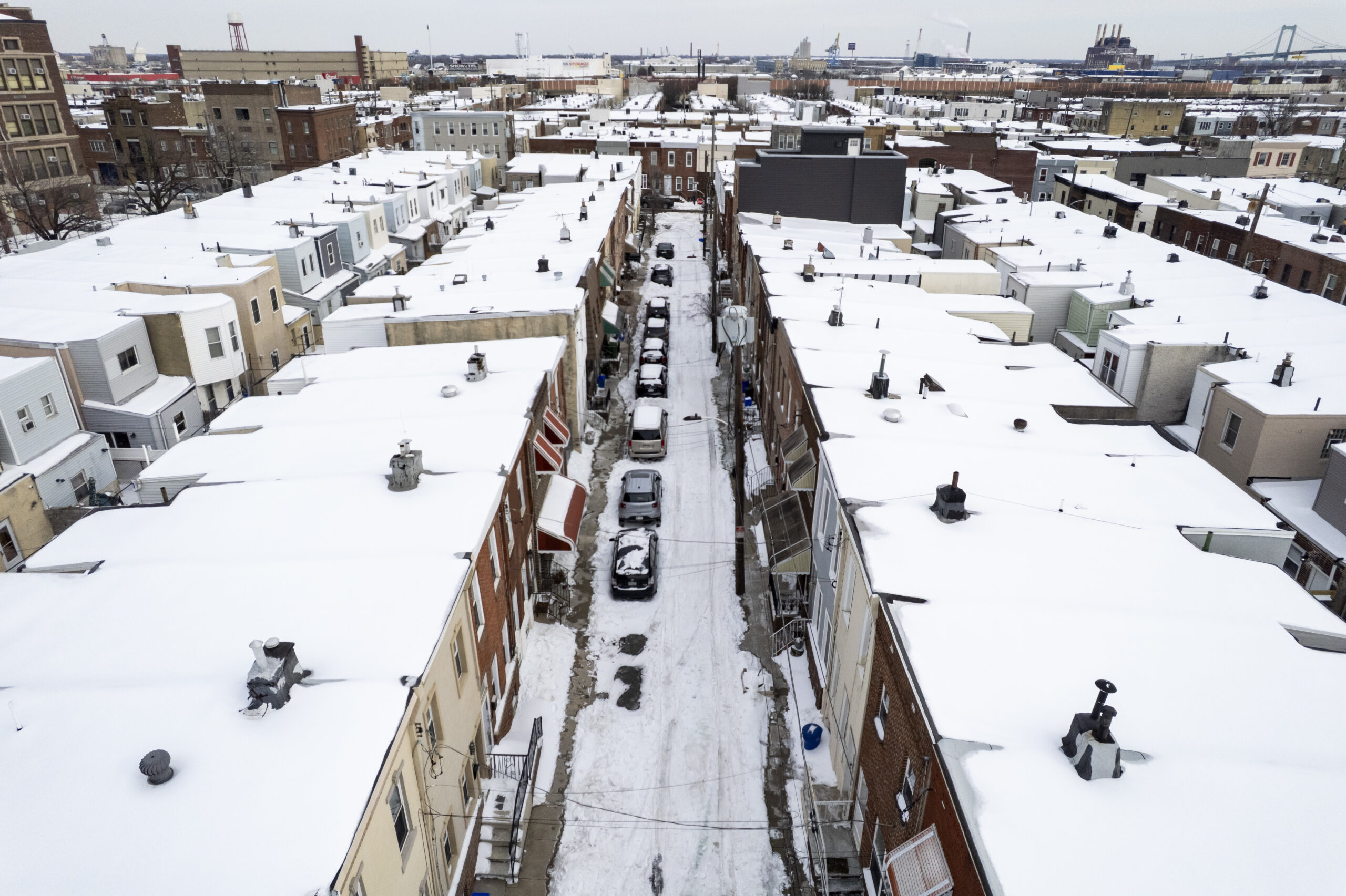
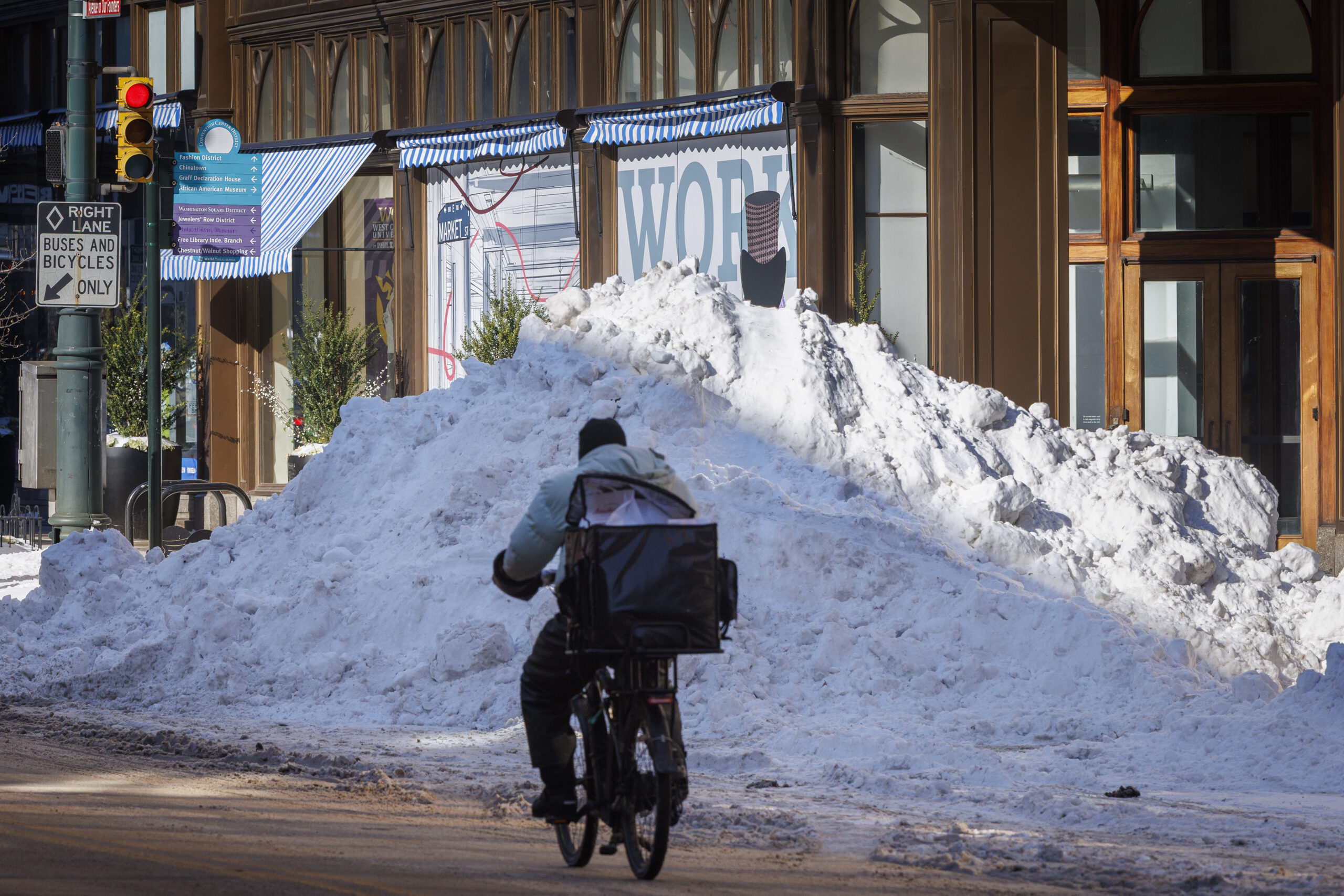
More than a foot of snow fell overnight across the Philadelphia region, though the Jersey Shore was hit hardest by a powerful winter storm and blizzard-like winds.
“I don’t think we’ve seen anything like this since 1996,” New Jersey Gov. Mikie Sherrill said during an interview Monday morning, calling it the “storm of a generation.”
Due to heavy snow bands, the totals varied widely. Ten inches of snow were recorded in Boothwyn Monday morning, while 22.1 inches came down in Langhorne, Bucks County.
In Central Delaware, 20.5 inches fell in Woodside, while across the river 17 inches dropped overnight in Lindenwold, Camden County.
Officially, 14 inches fell at Philadelphia International Airport.
window.addEventListener(“message”,function(a){if(void 0!==a.data[“datawrapper-height”]){var e=document.querySelectorAll(“iframe”);for(var t in a.data[“datawrapper-height”])for(var r,i=0;r=e[i];i++)if(r.contentWindow===a.source){var d=a.data[“datawrapper-height”][t]+”px”;r.style.height=d}}});
Here are the latest snowfall totals from the National Weather Service, measured by trained spotters or observed by the service itself:
Pennsylvania
Philadelphia
Fox Chase: 14.8 in (11 a.m.)
Philadelphia International Airport: 14 in (1 p.m.)
Rockledge: 13.8 (7 a.m.)
Delaware County
Swarthmore: 12 in (10:31 a.m.)
Chadds Ford: 11.5 in (10 a.m.)
Clifton Heights: 10.5 in (9:30 a.m.)
Boothwyn: 10.0 in (5:15 a.m.)
Chadds Ford Twp: 9.8 in (2 a.m.)
Lima: 8.8 in (5:35 a.m.)
Media: 7.8 in (10:15 a.m.)
Chester County
Paoli: 9.8 in (11:30 a.m.)
East Nantmeal Twp: 9.5 in (8 a.m.)
West Chester: 8 (7:30 a.m.)
East Nottingham Twp: 7.5 (7:55 a.m.)
SE Exton: 7.0 in (12:39 a.m.)
West Caln Twp: 6.5 in (8:30 a.m.)
Wickerton: 6 in (7:30 a.m.)
East Coventry Twp: 5.5 in (9:20 a.m.)
Montgomery County
Norristown: 13.4 in (10:25 a.m.)
Willow Grove: 13.2 in (6:45 a.m.)
Skippack: 12.8 in (11:50 a.m.)
Fort Washington: 12 in (8 a.m.)
Green Lane: 11.4 in (9:15 a.m.)
Elkins Park: 10.5 in (9:15 a.m.)
Glenside: 10.5 in (7 a.m.)
Penn Wynne: 10.5 in (7 a.m.)
Willow Grove: 10 in (7 a.m.)
Gilbertsville: 9 in (8:30 a.m.)
Jenkintown: 8.5 in (8 a.m.)
Conshohocken: 8.4 in (8:42 a.m.)
Hatfield: 8 in (8:42 a.m.)
King of Prussia: 8 in (9 a.m.)
Royersford: 8 in (9 a.m.)
Collegeville: 7 in (9 a.m.)
Salford Twp: 6.8 in (9 a.m.)
Stowe: 4.1 in (9:18 a.m.)
Bucks County
Langhorne: 22.1 in (9 a.m.)
Richboro: 22 in (11 a.m.)
Morrisville: 21 in (8 a.m.)
Fairless Hills: 20.5 in (6:30 a.m.)
Croydon: 18 in (8 a.m.)
Levittown: 15.0 in (3:53 a.m.)
Warminster: 13.5 in (5:40 a.m.)
Fricks: 11.7 in (noon)
Souderton: 9.2 in (7 a.m.)
East Rockhill Twp: 8.5 in (6:30 a.m.)
Chalfont: 7.3 in (6:50 a.m.)
New Jersey
Atlantic County
Mays Landing: 19 in (12:55 p.m.)
Minotola: 17 in (11 a.m.)
Atlantic City International Airport: 16.9 in (1 p.m.)
Buena Vista Twp.: 16.5 in (12:30 p.m.)
Egg Harbor Twp: 14 in (11 a.m.)
Brigantine: 12.5 in (8 a.m.)
Estelle Manor: 10.5 in (8 a.m.)
Hammonton: 8.2 in (7:45 a.m)
Burlington County
Mount Laurel: 20.6 in (1:05 p.m.)
Columbus: 20.5 in (12:45 p.m.)
Leisuretown: 20.3 in (10:07 a.m.)
Mount Holly: 20.3 in (1 p.m.)
South Jersey Regional Airport: 20.3 in (11:30 a.m.)
Pemberton: 20 inches (noon)
Moorestown: 19.5 in (11:20 a.m.)
Lake Pine: 19.2 in (9 a.m.)
Westampton: 19.2 in (7 a.m.)
Mansfield Twp: 19 in (7 a.m.)
Medford Twp: 18 in (5:20 a.m.)
Hainesport: 17.8 in (8 a.m.)
Rancocas: 17.4 in (8 a.m)
Burlington Twp: 17.0 in (7 a.m.)
Medford: 16.8 in (8:35 a.m.)
Moorestown Twp: 16.7 in (7:30 a.m.)
Delanco: 16.2 in (12:30 p.m.)
Maple Shade: 16 in (7:30 a.m.)
Evesham: 12.3 in (7 a.m.)
Camden County
Lindenwold: 17 in (10 a.m.)
Barrington: 16.5 in (6:30 a.m.)
Haddon Heights: 15 in (12:02 p.m)
Mt. Ephraim: 15 in (7 a.m.)
Haddon Township: 14 in (10:15 a.m.)
Winslow Twp: 9.5 in (7 a.m.)
Gloucester County
Pitman: 21.5 in (11:30 a.m.)
Monroe Twp: 19 in (9 a.m.)
Glassboro: 17 in (8:45 a.m.)
Washington Twp: 16 in (6 a.m.)
Franklin Twp: 14.3 in (7:30 a.m.)
East Greenwich Twp: 14 in (5:45 a.m.)
Williamstown: 10.3 in (8 a.m.)
Monmouth County
Colts Neck: 24.1 in (1:15 p.m.)
Howell: 24 in (noon)
Manalapan Township: 21 in (10:30 a.m.)
Centerville: 20.5 in (8:30 a.m.)
Ocean Twp: 18 in (noon)
West Long Branch: 16 in (7:45 a.m.)
Red Bank: 14.3 in (7:30 a.m.)
Ocean County
Jackson: 25.2 in (1 p.m.)
Toms River: 23.5 in (10:45 a.m.)
Manchester Twp: 18 in (6:30 a.m.)
Manahawkin: 18 in (10:30 a.m.)
Tuckerton: 16 in (8:30 a.m.)
Berkeley Twp: 14 in (7 a.m.)
Beachwood: 13.5 in (7:30 a.m.)
Point Pleasant Beach: 11.5 in (7 a.m.)
Barnegat Twp: 10.4 in (7:45 a.m.)
Salem County
Monroeville: 18 in (8 a.m.)
Olivet: 16 in (11 a.m.)
Upper Pittsgrove Twp: 11.5 in (9:15 a.m.)
Delaware
New Castle County
Hockessin: 10 in (5:55 a.m.)
Holiday Hills: 8.3 in (2:10 a.m.)
New Castle County Airport: 8.3 in (7 a.m.)
Wilmington: 8 in (7 a.m.)
Newport: 7.2 in (7 a.m.)
Marshallton: 6.3 in (9:30 a.m.)
Newark: 5.5 in (7:30 a.m.)
Staff writers Anthony R. Wood and Amy S. Rosenberg contributed to this report.
Philly got its biggest snow in 10 years. This time nature will help with the cleanup.
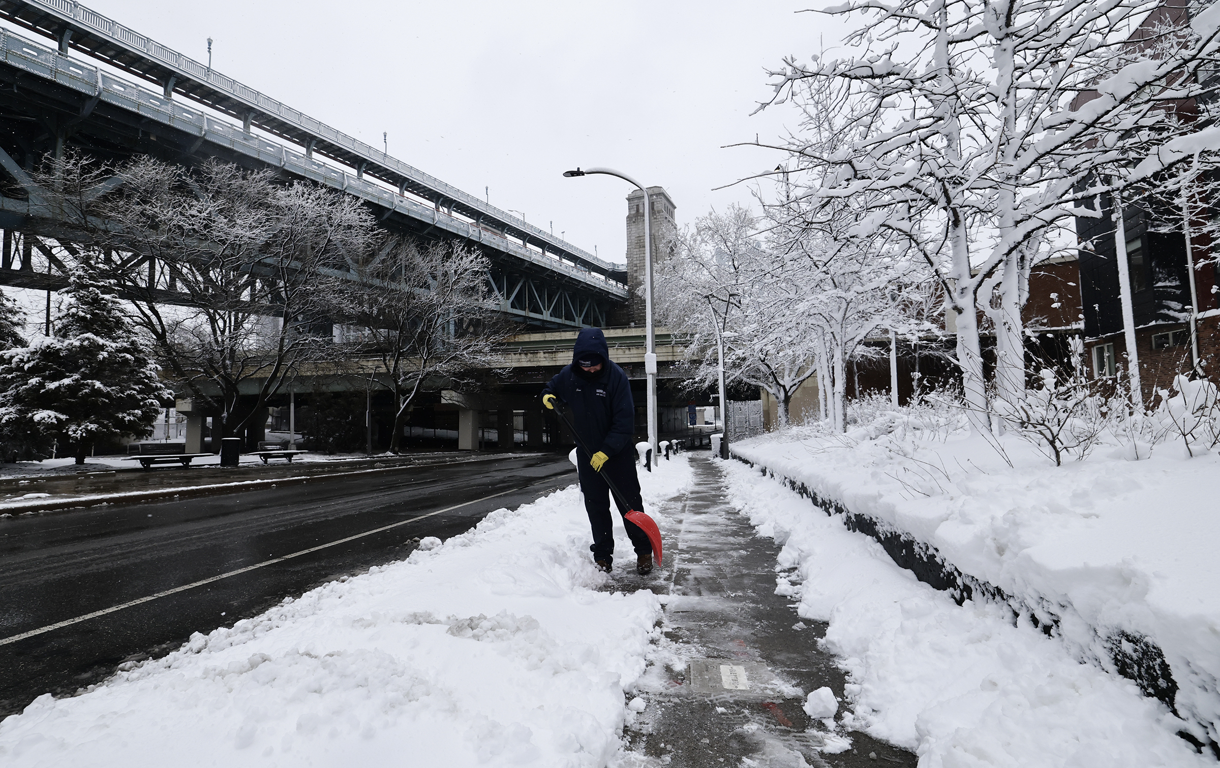
Sean Little of the Delaware River Waterfront Corporation shovels snow along the sidewalks on Race Street on Monday, Feb. 23, 2026.
If it wasn’t an actual blizzard, Philly’s biggest snowfall in a decade sure acted like one, and the weather the rest of this week isn’t expected to be particularly pleasant.
But in terms of disruption — not to mention aesthetics — this was in a wholly different category from the Jan. 25 siege of snow and ice. And the aftermath should not be anywhere near as punitive and burdensome.
Although the 14 inches measured officially at Philadelphia International Airport dwarfed the 9.3 inches of snow and sleet that accumulated in last month’s storm, Zach Schwartz, 33, was among those who found the picturesque snow more palatable than the attack of ice balls and an Arctic freeze.
“The last snowstorm was a tough time for everyone,” said Schwartz, who was at a Point Breeze playground helping a friend build an igloo for their kids, “and I think the city was kind of in shock a little bit.”
Philadelphia’s Office of Homeless Services said the city would maintain several 24-hour warming centers through Wednesday morning to help people stay out of the cold.
The city is already in a Code Blue, which is declared when precipitation is falling and temperatures are 32 degrees or lower, or when temperatures feel close to or below 20 degrees due to the wind chill.
During a Code Blue, the city sends outreach teams out 24 hours a day, looking for people without shelter and taking them inside. The designation also opens up 50 shelter beds, in addition to about 3,400 shelter beds available during the winter. Residents in emergency housing are also allowed to stay inside all day. (Some shelters require residents to leave in the morning and return at night.)
An “enhanced Code Blue” is declared when Code Blue conditions persist for three days, and the city opens up warming centers that offer a place to sit out of the cold, usually in libraries and rec centers. Some people experiencing homelessness who are wary about entering shelters opt for less-restrictive warming centers.
The city has not declared an enhanced Code Blue for this storm, but announced Sunday afternoon that it had planned to open warming centers at least overnight.
On Monday afternoon, OHS’s Instagram account posted an updated list of warming centers that will stay open until 9 a.m. Wednesday. The following centers are already open unless otherwise noted:
Pelbano Recreation Center, 8101 Bustleton Ave. (opens at 9 p.m. Monday)
Hub of Hope, 15th Street and John F. Kennedy Boulevard (enter at the 15th Street trolley station entrance in Dilworth Park)
Appletree Family Center, 1430 Cherry St.
Prevention Point, 2913-15 Kensington Ave.
Kensington Wellness Support Center, 265 E. Lehigh Ave.
Samuel Rec Center, 3539 Gaul St.
People who see someone on the streets in need of shelter, or who need shelter themselves, can call the city’s homeless outreach hotline at 215-232-1984.
Warmer weather is helping Philly’s cleanup, but so are lessons from the last storm
Mother nature’s above freezing temperatures largely aided Philadelphia’s snow removal operations Monday, but the city also adjusted its response after the prior storm cleanup left many residents chockfull of complaints.
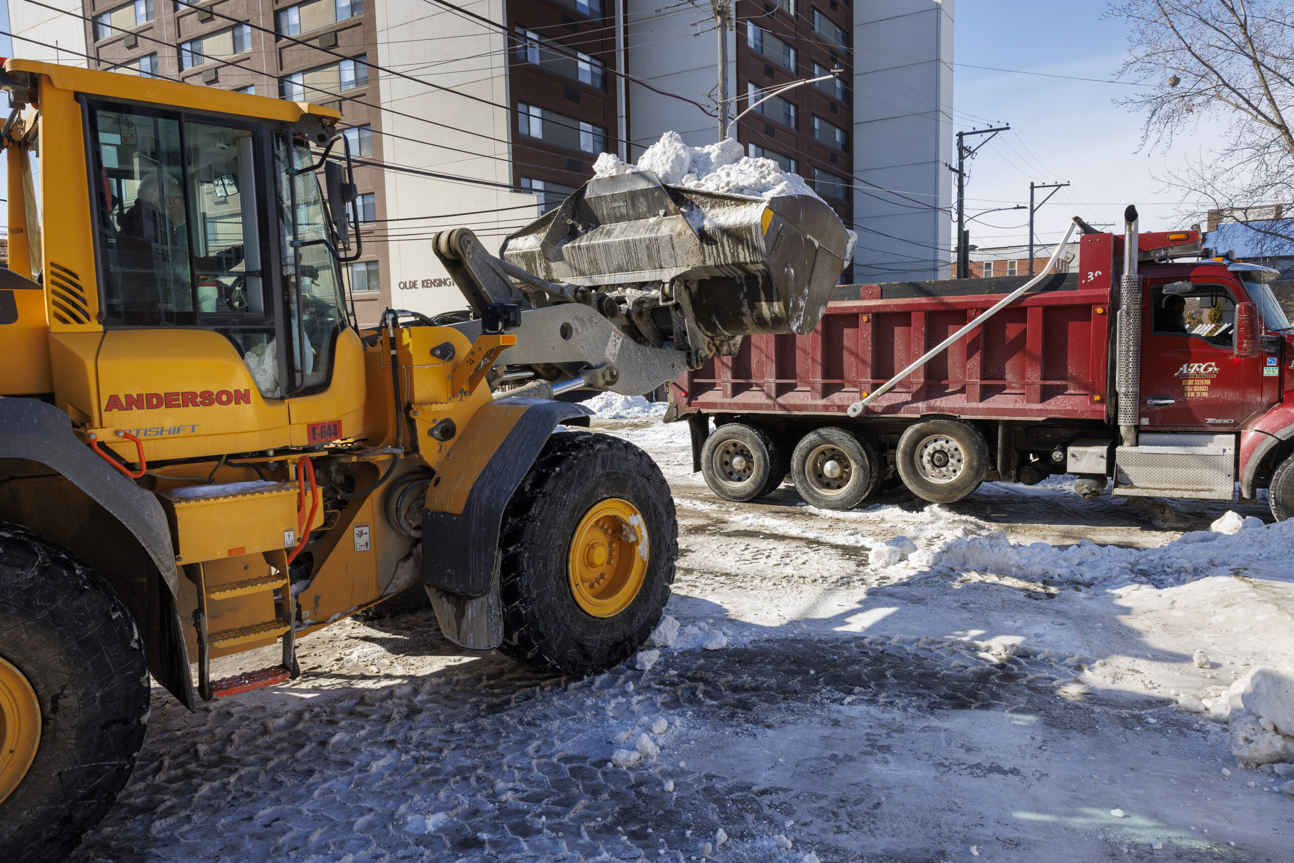
Director of Clean and Green Initiatives Carlton Williams said the city secured three snow melters instead of just one, with two already on the road Monday, despite the much shorter notice of the storm.
“They’re located throughout the city of Philadelphia, because quite frankly, from the last storm, we are running out of places to place snow,” said Williams in a news conference, referring to the dozens of snow drop off sites, such as the Navy Yard. “We needed to be able to put it in a location where it doesn’t have to sit in somebody’s neighborhood.”
The city also added snow blowers to the mix of machines clearing the area around City Hall, said a city spokesperson.
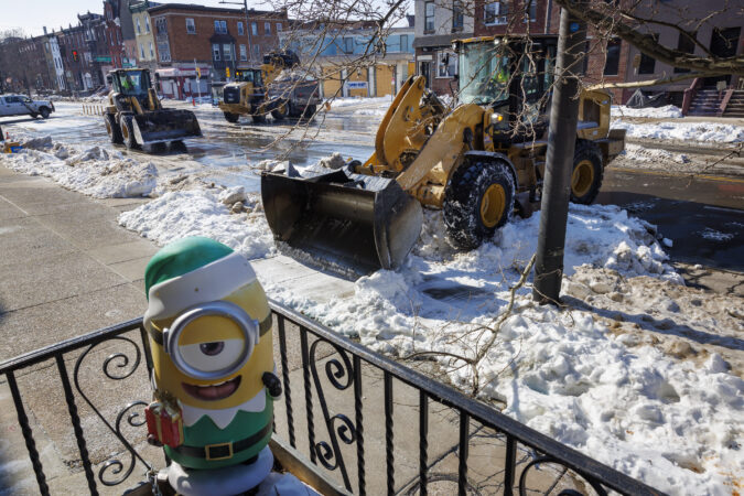
The softness of the snow, compared to the hardened sleet from the last storm, has made it easier for the smaller snow clearing equipment to double back and tackle ADA ramps and crosswalks after the last bit of snow fell, according to the mayor’s office.
Even so, the city is slated to deploy crews of same-day-pay workers to manually shovel crosswalks, SEPTA stops, and ADA ramps that are hard to reach by machines as early as Tuesday.
The deployment of these reinforcements comes at a much faster clip than the previous storm, where some 300 additional workers helped chip away at persistent ice by hand more than a week after the snow fell.
Lee Paul and her puppy, Chay, check out the snow Monday near their Wayne Avenue apartment.
Lee Paul, 36, was not ready to step out of her Wayne Avenue apartment complex in the middle of a blizzard. But her four-month-old puppy had other plans.
“I had to take Chay to go to the bathroom,” said Paul, hands in her pockets and dreading the cold.
She hates winter, but is happy that living in a building meant no shoveling was in her future.
For Chay, this is all a new experience. He was thrilled to jump around in the snow, bury his paws over and over again, and catch tiny flakes with his nose for more than 10 minutes.
SEPTA resumes most services but Regional Rail remains suspended
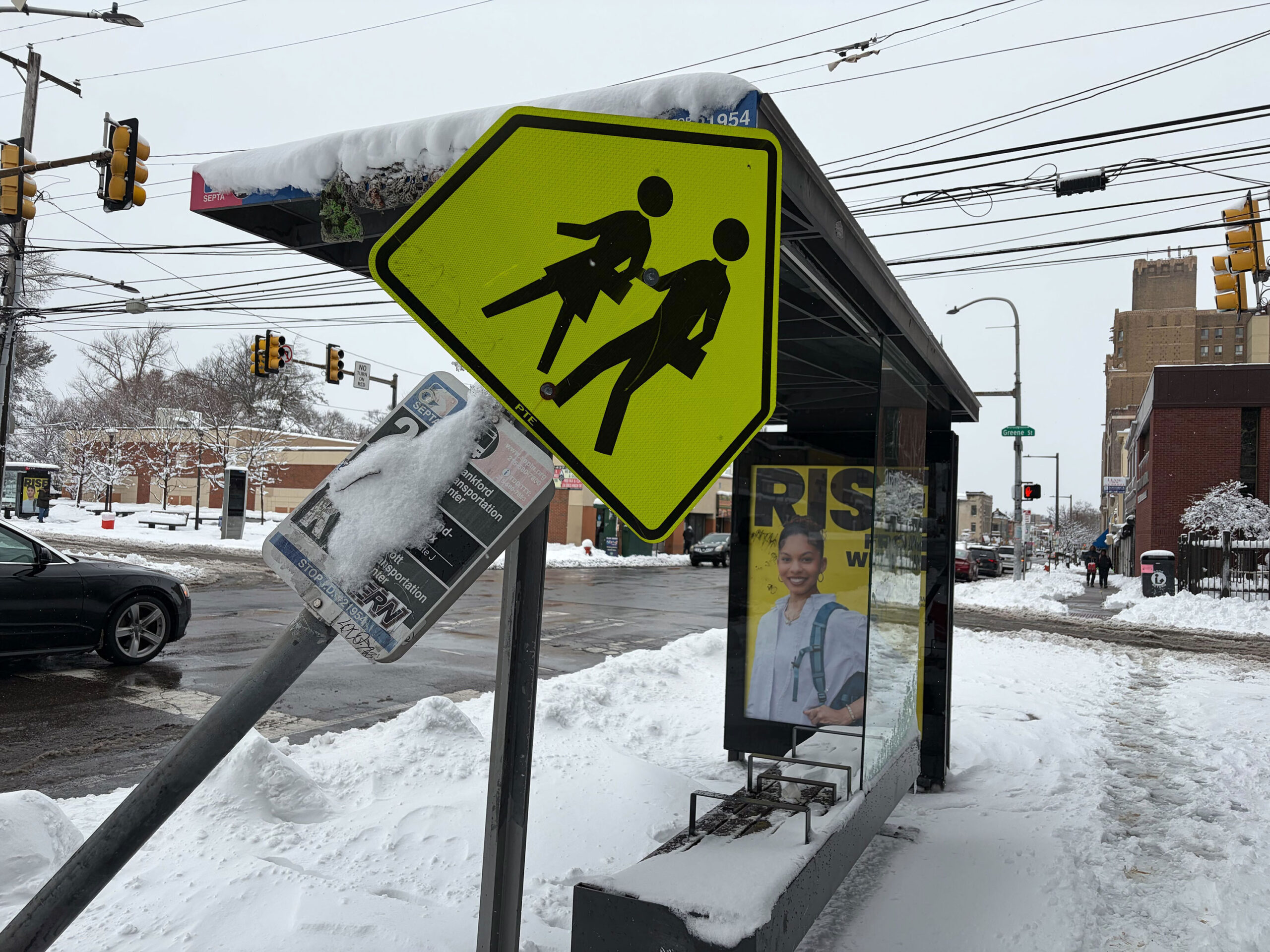
SEPTA bus stops, like this one in Germantown, sat empty most of Monday.
SEPTA has reopened its Center City trolley tunnel, and resumed service on more than 20 of its bus routes. However, Regional Rail service remained largely suspended as of Monday afternoon, SEPTA general manager Scott Sauer said.
“We’re hoping to have some Regional Rail service restored later this afternoon,” Sauer said Monday. “But I will caution: We will not be on a regular schedule.”
Just before 3 p.m., the agency restored operations on its Manayunk/Norristown line, a representative said.
The transit agency had inspectors and inspection trains working along Regional Rail lines evaluating them for any hazards, but their resumption was not immediately clear Monday afternoon. Sauer encouraged riders to follow SEPTA’s app and website for service updates as storm cleanup progresses.
“SEPTA has nearly 300 Regional Rail and metro stations, most with a variety of platforms and infrastructure, so we are working to clear those in the best effort possible,” Sauer said.
About 30 track inspectors were working to inspect SEPTA infrastructure, and roughly 700 in-house employees were working to clear the authority’s property of snow and other hazards, including downed trees. Sauer added that SEPTA has utilized “many, many tons” of rock salt to combat ice, and employed the use of all of its available heavy equipment to aid in cleanup.
“We’ve made service adjustments, and now it’s back to restoration,” Sauer said. “But all while keeping an eye on safety for both our customers and our employees.”
Light snow is possible Tuesday night. More next week?
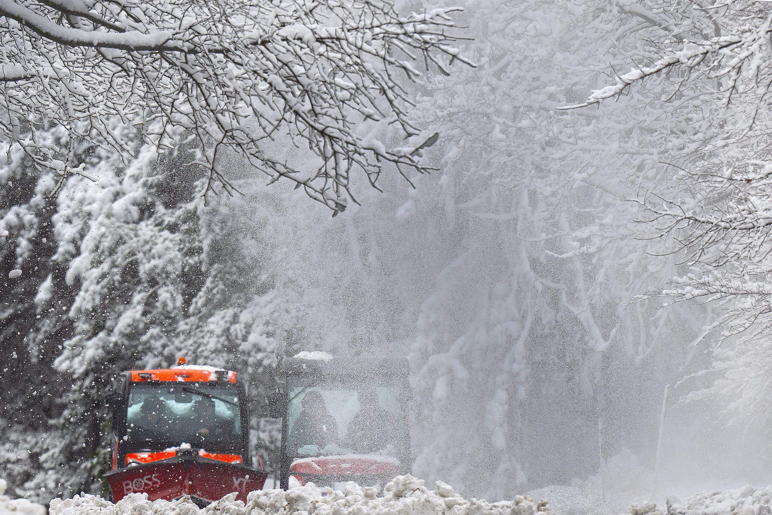
Snow removal vehicles plow at Swarthmore College Monday.
It won’t be a big deal, but a round of light snow is possible late Tuesday night and/or early Wednesday as a weak “clipper” system approaches from the west.
While temperatures on Tuesday will struggle to reach freezing and fall into the 20s at night and, thus, cold enough for snow, it shouldn’t accumulate more than an inch in the Philly region, forecasters say.
It will warm into the 40s on Wednesday, and given the strength of the February sun it should be a decent melting day.
More light precipitation, perhaps a mix of rain and snow, is possible Thursday, but that should be followed three consecutive dry days ,with high temperatures in the 40s to low 50s.
Another batch of chiller air could arrive in time for a storm to produce more snow early next week, said Tom Kines, senior meteorologist with AccuWeather Inc. But, yes, it’s way, way early.
At least by then, most of what fell Sunday and Monday should be liquefied.
Kines warned that in the meantime temperatures the next few nights are going to fall below freezing, turning some of that daytime melt into ice.
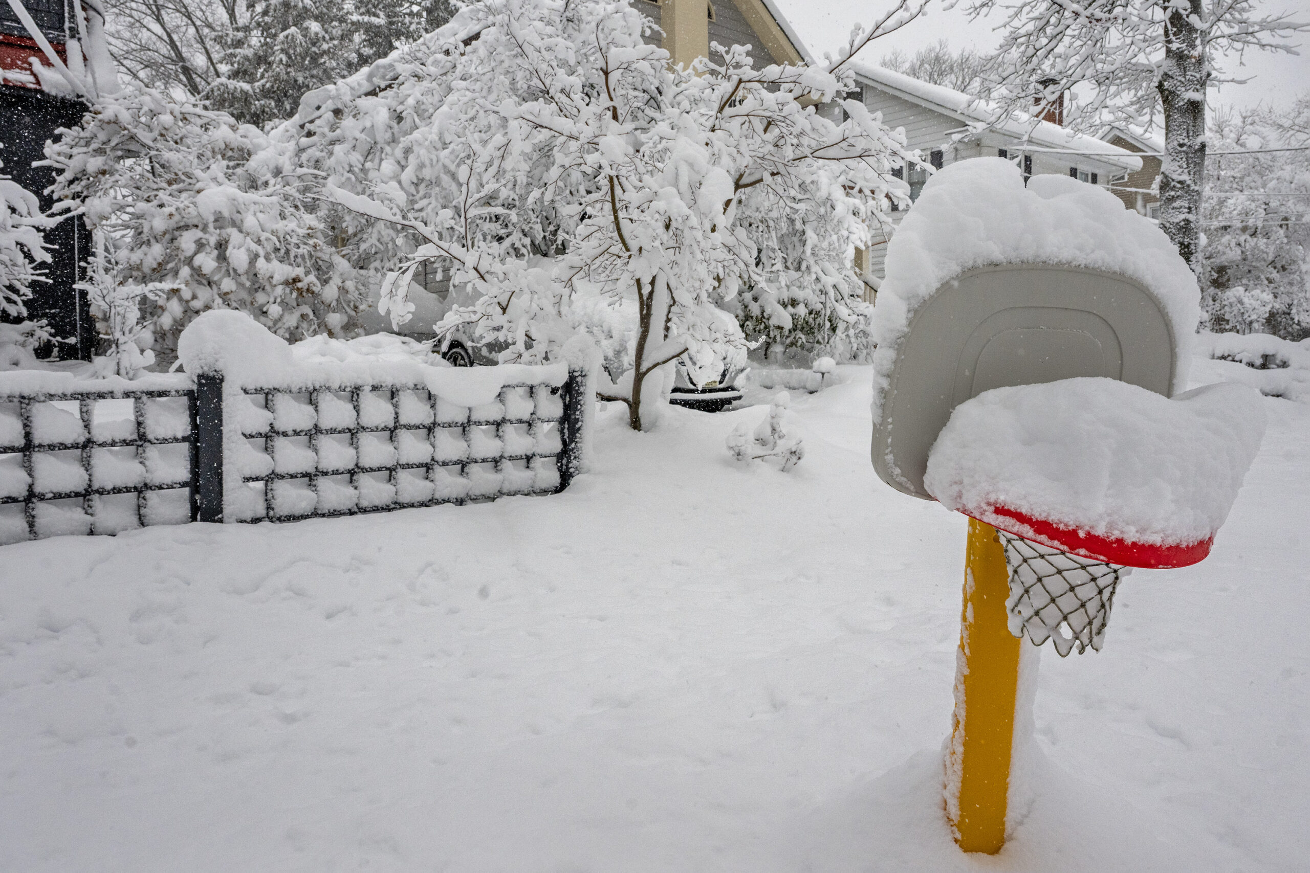
Snow fills a child’s basketball hoop in Haddonfield Monday.
More than 130,000 households across the Philadelphia region lost power last night due to the snowstorm.
Philadelphia households have mostly recovered from power outages on Monday, according to Peco, with only 213 active outages this afternoon.
South Jersey still has around 75,000 households currently without power, according to Jersey Central Power and Light, but that number has slowly decreased since this morning.
Outages in Atlantic City are still higher than they were this morning with 2,804 active outages, up from 1,892 around 7 a.m., according to Atlantic City Electric. Last night, more than 50,000 residents in Atlantic City lost power.
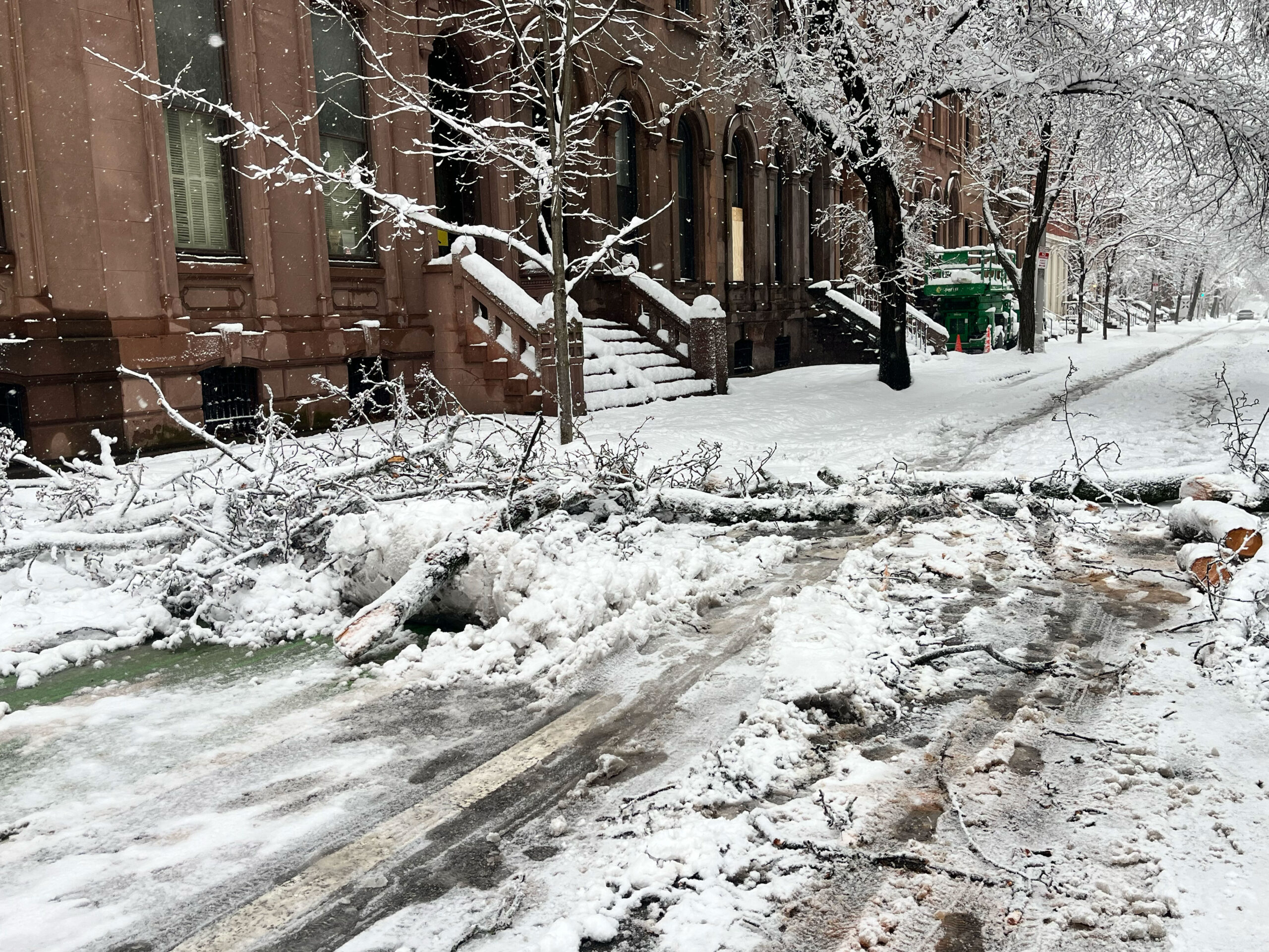
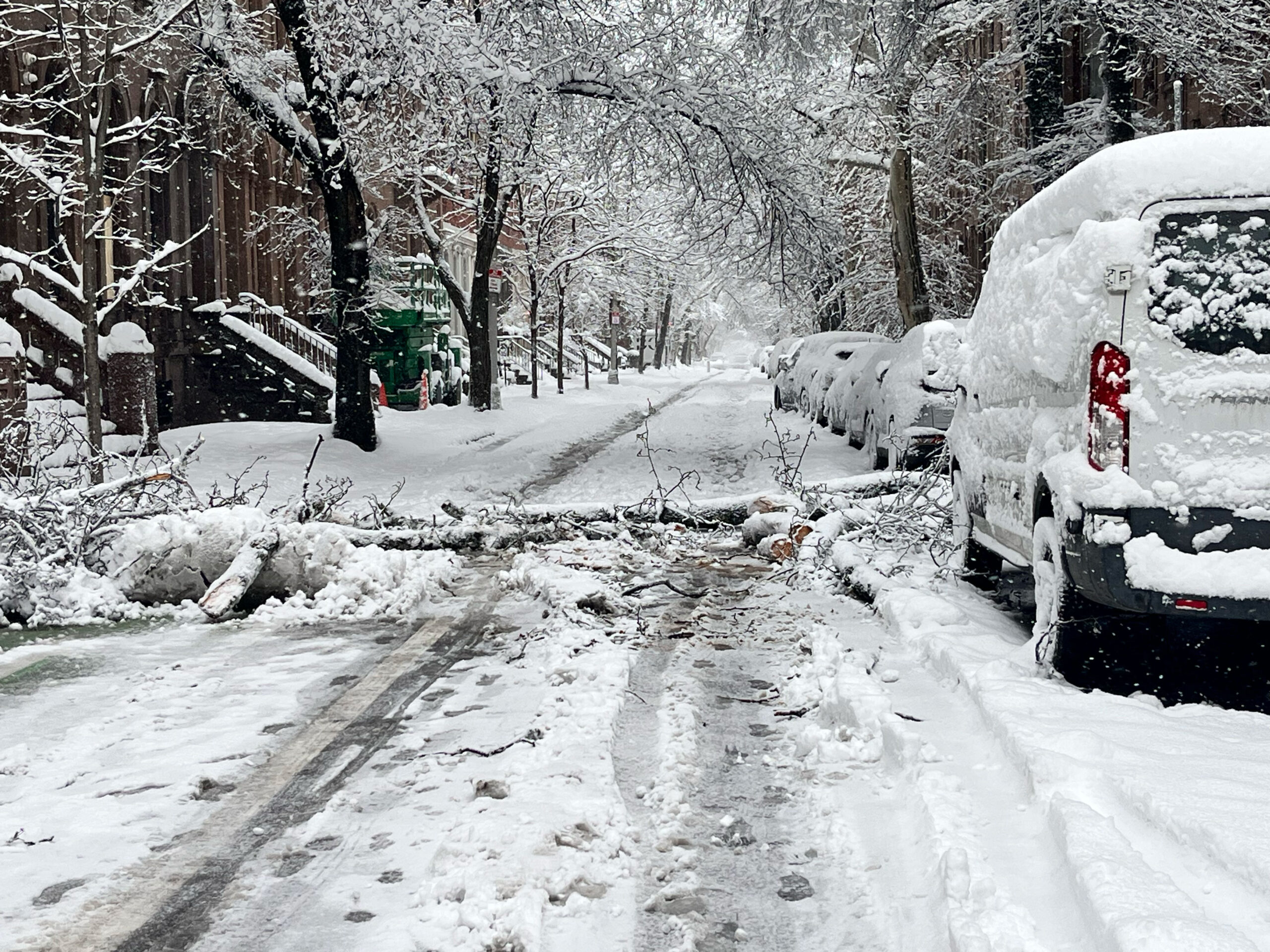
Wet snow brought down trees in Rittenhouse Square Monday.
At least 87 tress across the city were downed as a result of the storm as of Monday afternoon, and the city is working to determine which ones to prioritize clearing first, Parks and Recreation commissioner Susan Slawson said.
“We have four certified arborists that are actively inspecting reports of fallen trees to determine priority for clearance,” Slawson said Monday. “Everything is not a priority.”
Slawson asked for patience from city residents as the department works to clean up downed trees, and noted that some situations involving live wires require additional caution and coordination. Fallen trees blocking roadways, or those that have fallen on houses or cars, should be reported to 911, while those impacting power lines should be reported to Peco.
While the number of downed trees may rise in the immediate aftermath of the storm, Slawson said she expects officials will continue to monitor the situation in the coming weeks and months. Longer-term implications, she cautioned, are possible.
“This moisture, this snow, is going to continue to [have an] affect,” Slawson said. “Early on in the spring, we may continue to see trees come down, and it’s a direct result of all the storms that we’ve had.”
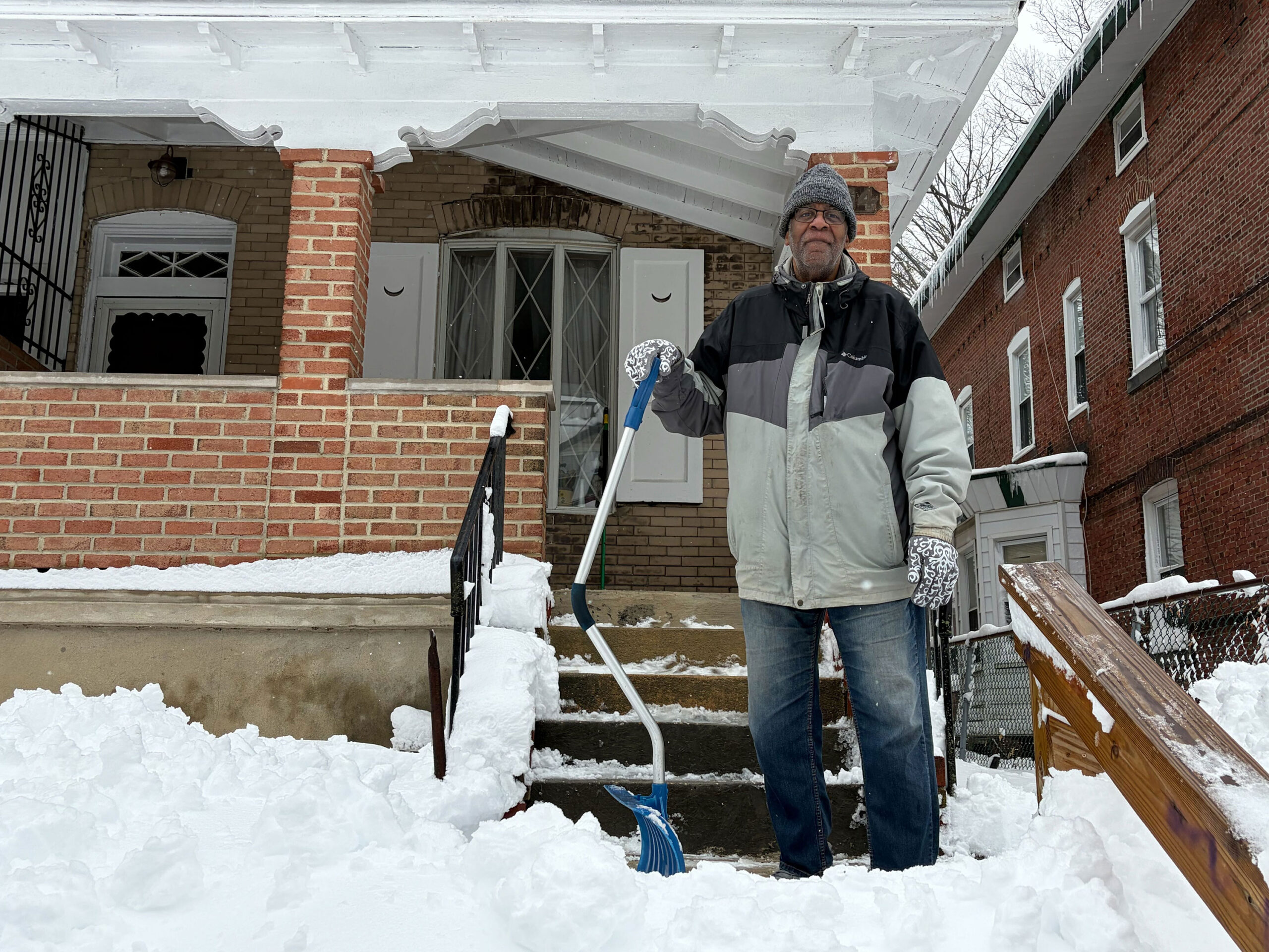
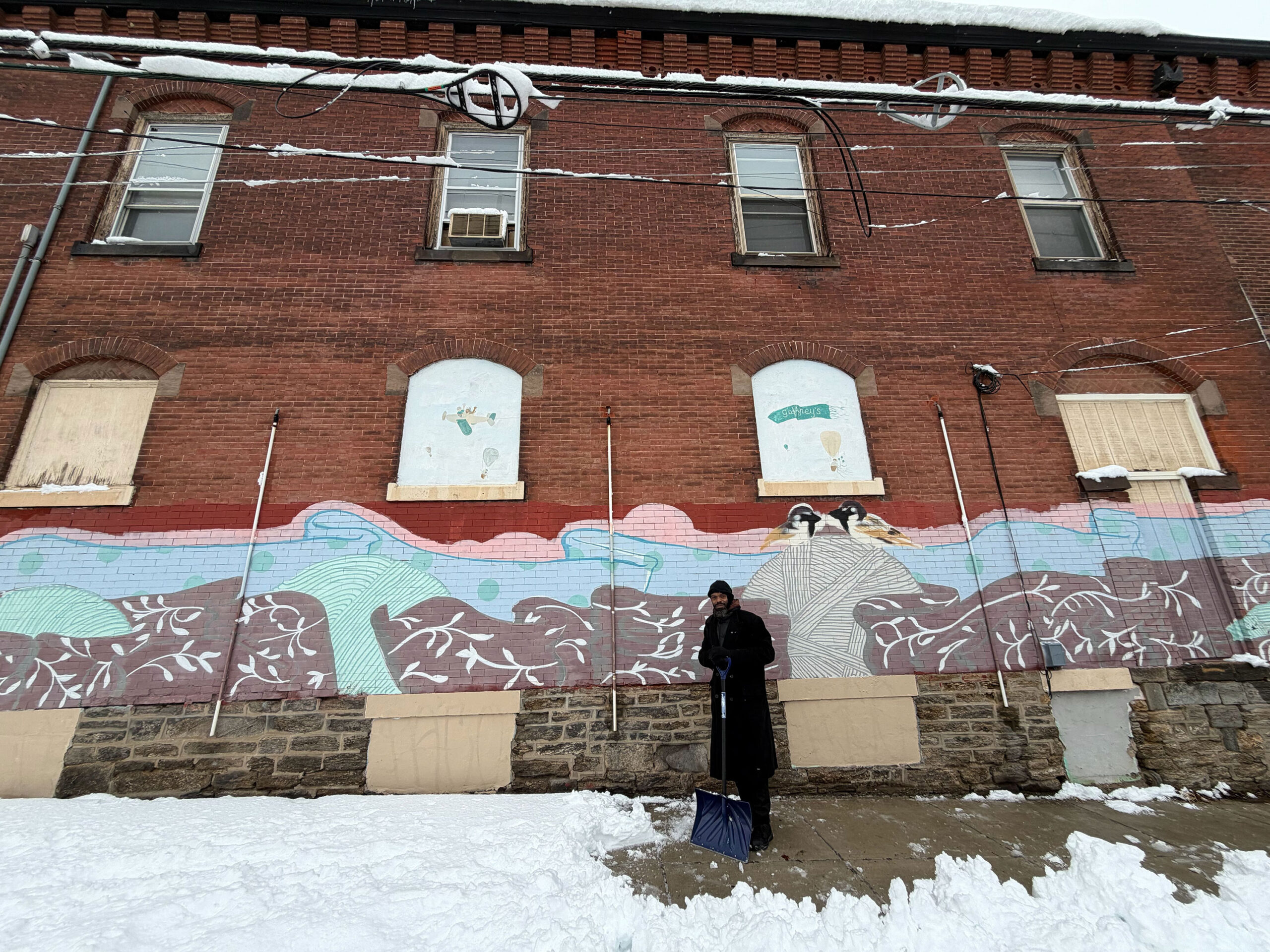
Ronald Barnard works to shovel outside his Coulter Street home in Germantown Monday.
Ronald Barnard has been shoveling outside his Coulter Street home for two hours. At 69, snow clean up requires twice the effort, he said.
“It’s just a lot,” Barnard said pointing to the surrounding unplowed sidewalks and ice covered road. “This snow is easier to push than the snow in January, but it’s more than I expected for sure.”
He likes doing the clean up himself. But when neighbors offer to help, he takes the chance to reminiscent about a better time, when “the city used to give us salt and even plow the two way street, but times have change.”
El Zahur shovels the sidewalk outside his Germantown property Monday.
A block down Germantown Avenue, El Zahur, 42, is having an easier time. City plow trucks have been driving by all morning, making the street clean.
“The administration dropped the ball last time, but she made out for it this time,” Zahur said, referring to Mayor Charelle L. Parker. “Before, the trucks were driving around with their plows up, but now they are doing a good job actually removing the snow.”
Regardless, he is still responsible for his corner property sidewalks, which proved to be a bit of a hazard.
“I have managed to stay out of the way from falling things,” Zahur said, as some snow rapidly fell off the roof into the sidewalk. “I don’t want nothing falling on me from three stories above.”
Weather Service cancels blizzard warnings for Philly and across the region
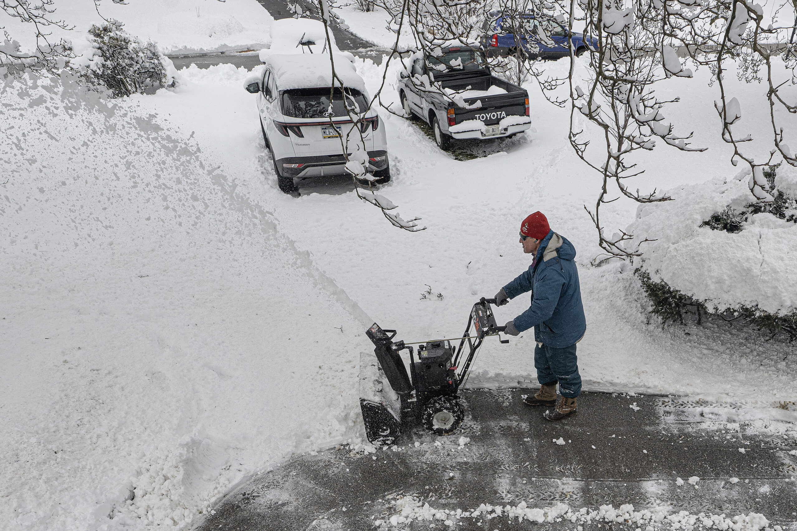
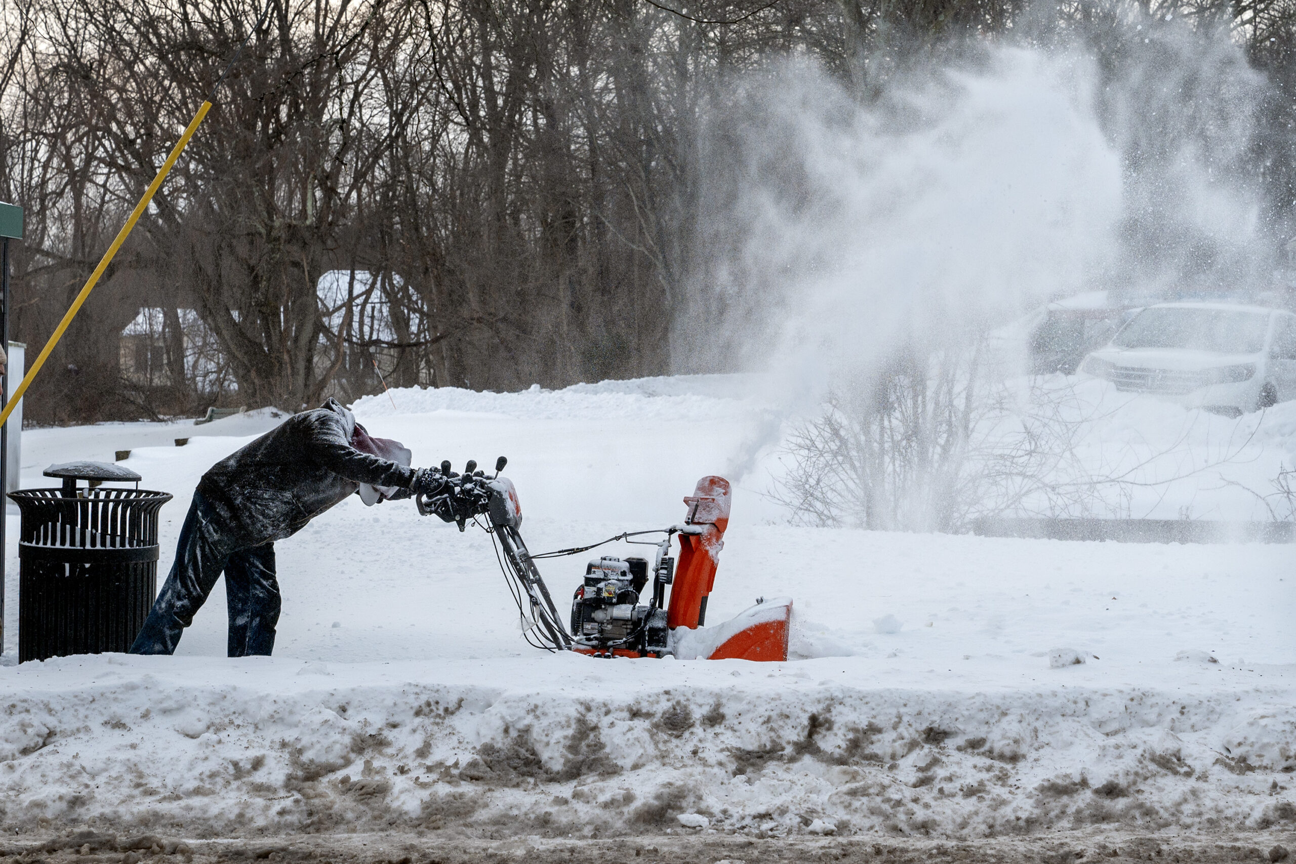
Mike Ouellette plows his driveway with a snow blower in Wallingford Monday.
The National Weather Service has taken down the blizzard warnings for the region.
While strong winds and blowing snow are likely to persist, the threat of blizzard conditions has diminished, said Nick Guzzo, meteorologist at the National Weather Service Office in Mount Holly.
The warning had been scheduled to expire at 6 p.m., but snow has moved out of the area, and overall visibilities and conditions have improved
Philly snow emergency remains in effect, no word yet if schools will reopen Tuesday
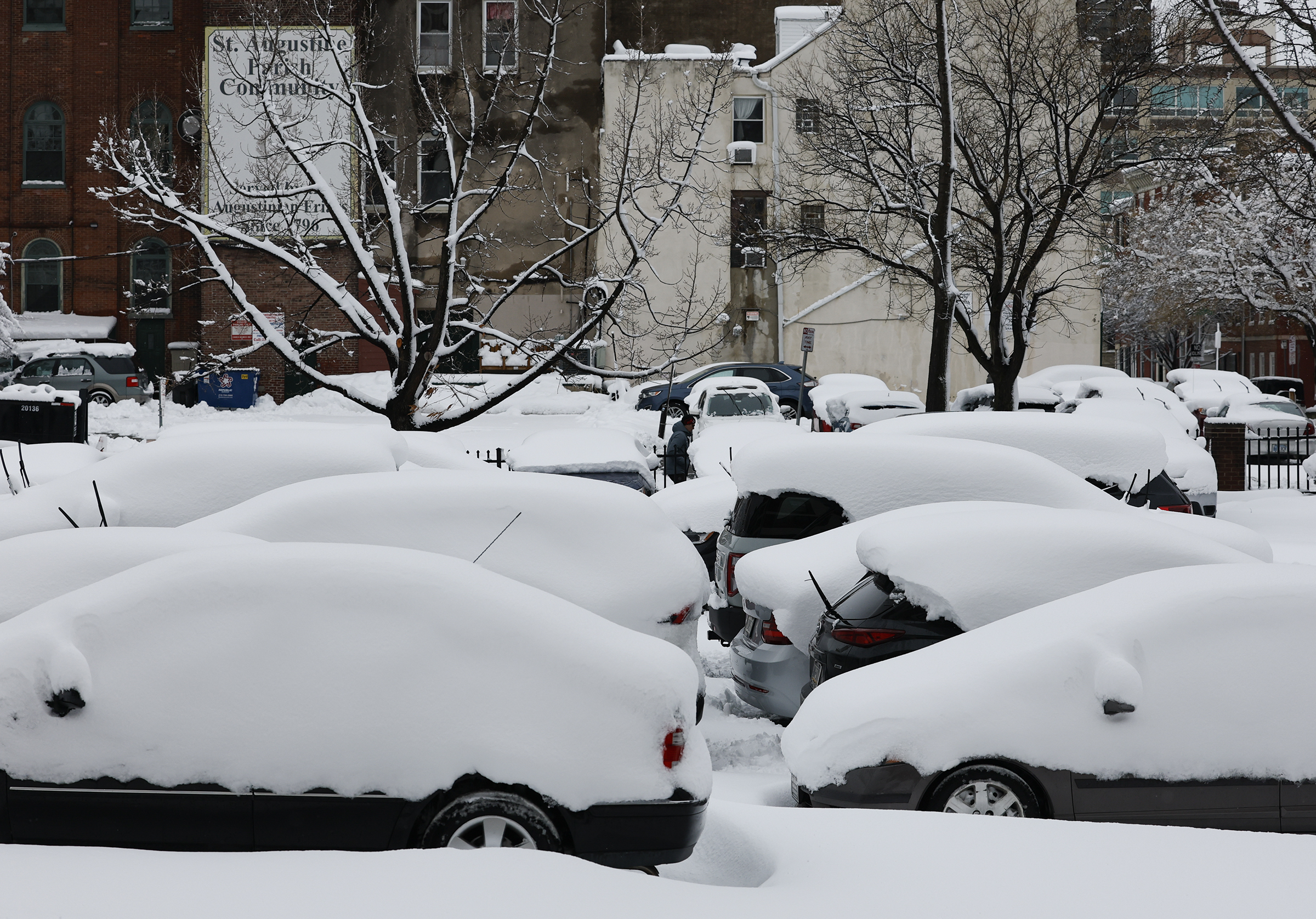
Snow topped cars sit in a Old City apartment parking lot Monday.
Mayor Cherelle L. Parker said at a Monday afternoon news conference it remained too early to determine when the city’s snow emergency could be lifted, but officials hoped to have an update on the resumption of city operations later in the day.
In the meantime, Parker added, city residents should avoid unnecessary travel until further notice to allow crews to continue to clear the more than 2,500 miles of roadways in Philadelphia. Roughly 65% of streets had been treated in some way as of Monday afternoon — plowed, salted, or lifted, or some combination of the three — director of Clean and Green Initiatives Carlton Williams said.
“When there are fewer cars on the street, we give our crews more flexibility to do the job that we are asking them to do,” Parker said.
At the height of the storm, the city employed more than 800 pieces of equipment and about 1,000 workers to aid in snow removal, and that number “is still continuously growing,” Williams said. Workers will assist with the clearing of curb cuts, ADA ramps, and areas around schools, among other spaces, as cleanup efforts continue, he added.
“We will continue to focus on those areas so that all pedestrians and motorists will have safe and accessible walkways,” Williams said.
Officials expect to release additional information about Tuesday’s city services and school operations around 6 p.m., Parker said.
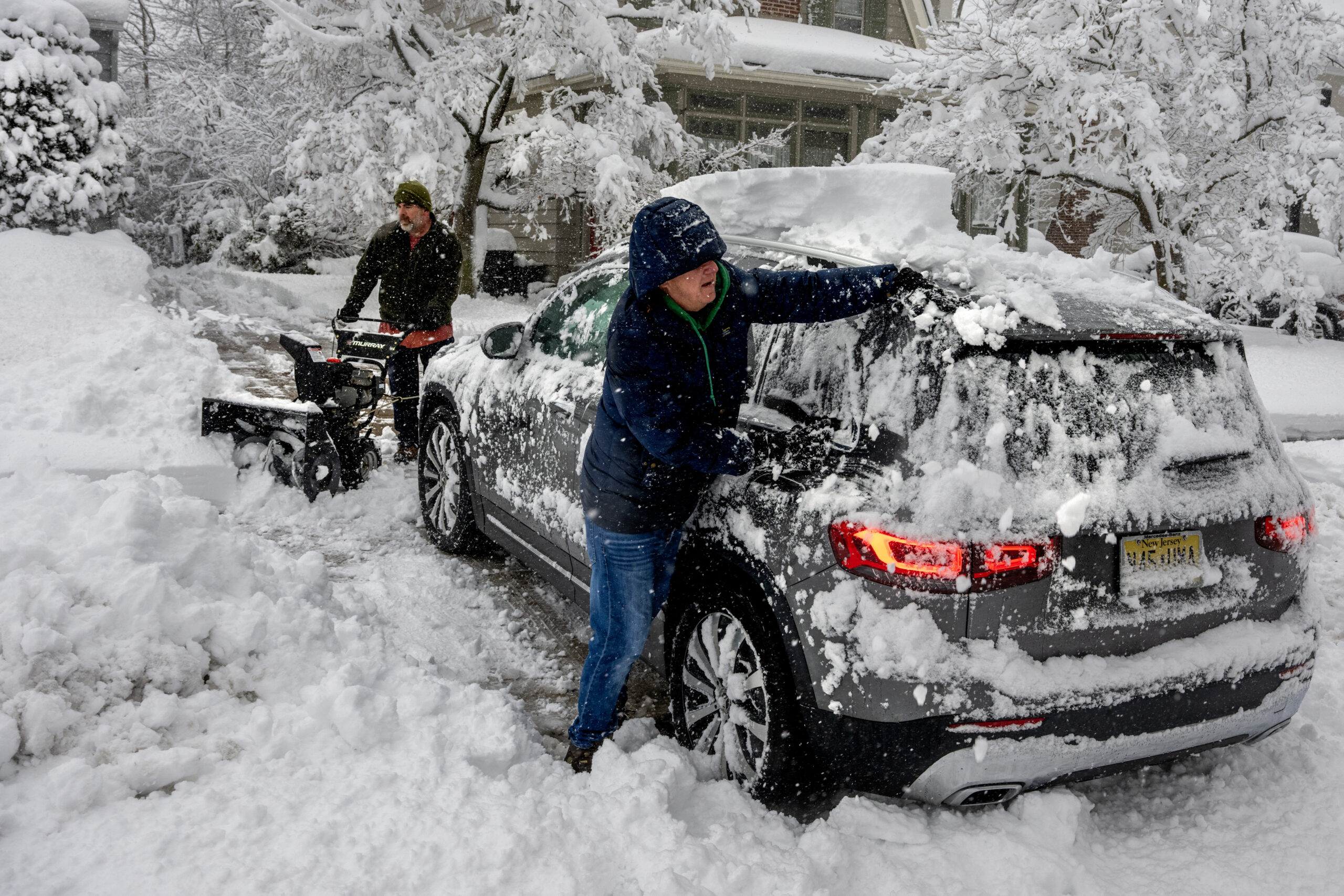
David Holmes cleans the snow off of his car as neighbor Bill McKean (rear) snow-blows the driveway in Haddonfield Monday.
The New Jersey Office of Emergency Management has announced that the mandatory travel restriction, which began at 9:00 p.m. on Sunday and was extended until noon Monday, has been lifted.
Officials nonetheless “strongly encouraged” motorists to avoid unnecessary travel as hazardous conditions remain in parts of New Jersey, according to a release from the state police.
“Some roadways remain snow-covered, visibility is limited in some areas, and crews continue working to clear roads and restore safe travel,” the release said.
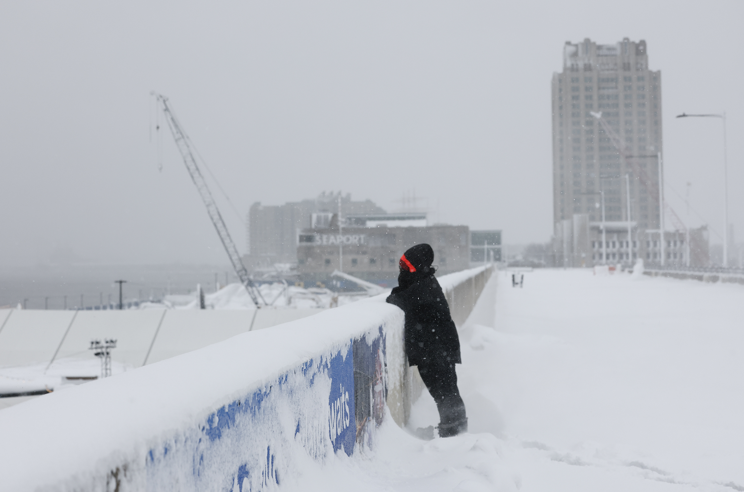
Nicole Swinson looks into a snowy Penns Landing Monday.
Philadelphia hasn’t experienced a verified blizzard in 33 years, and it remains unclear whether this Sunday-Monday snow fest qualified for the honor.
According to NOAA guidelines, a blizzard requires “frequent winds of 35 mph or higher with considerable falling and/or blowing snow that frequently reduces visibility to 1/4 of a mile or less. These conditions are expected to prevail for a minimum of 3 hours.”
That’s a lot to ask for a snowstorm, and it is going to take considerable forensic work of poring through observations to determine whether those conditions were met in Philadelphia or elsewhere in the region, said Nick Guzzo, a meteorologist at the National Weahter Service Office in Mount Holly. (Incidentally, 20 inches of snow were measured on the office’s property.)
The last certifiable blizzard in Philly occurred on March 13, 1993. That one closed down the Philadelphia Flower Show.
Meteorologists were confident that the conditions were met during the record 30.7-inch snowfall of Jan. 7-8, 1996, however they weren’t officially verified in the city.
With or without a label, this was one impressive storm.
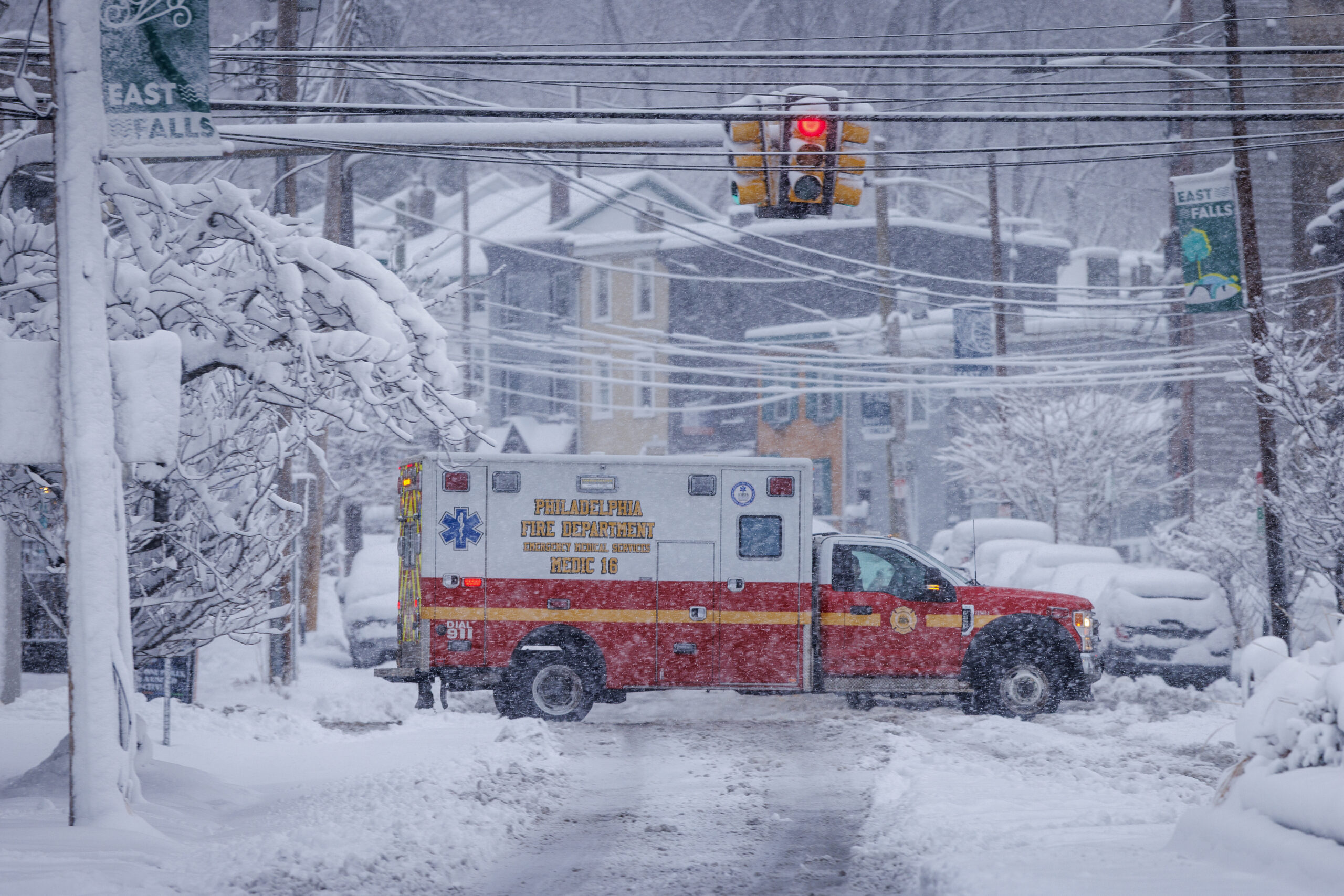
A Philadelphia Fire Department ambulance drives along Ridge Avenue at Midvale on Monday.
Light snow is lingering in the Philly region and could continue into the afternoon, but no additional accumulation is expected.
“What’s done is pretty much almost done,” said Amanda Lee, meteorologist at the National Weather Service in Mount Holly, where 18 inches was measured Monday morning.
The potent coastal nor’easter that clocked South Jersey and areas along I-95 and generously layered several inches of snow throughout Philly’s neighboring counties in Pennsylvania is pulling away.
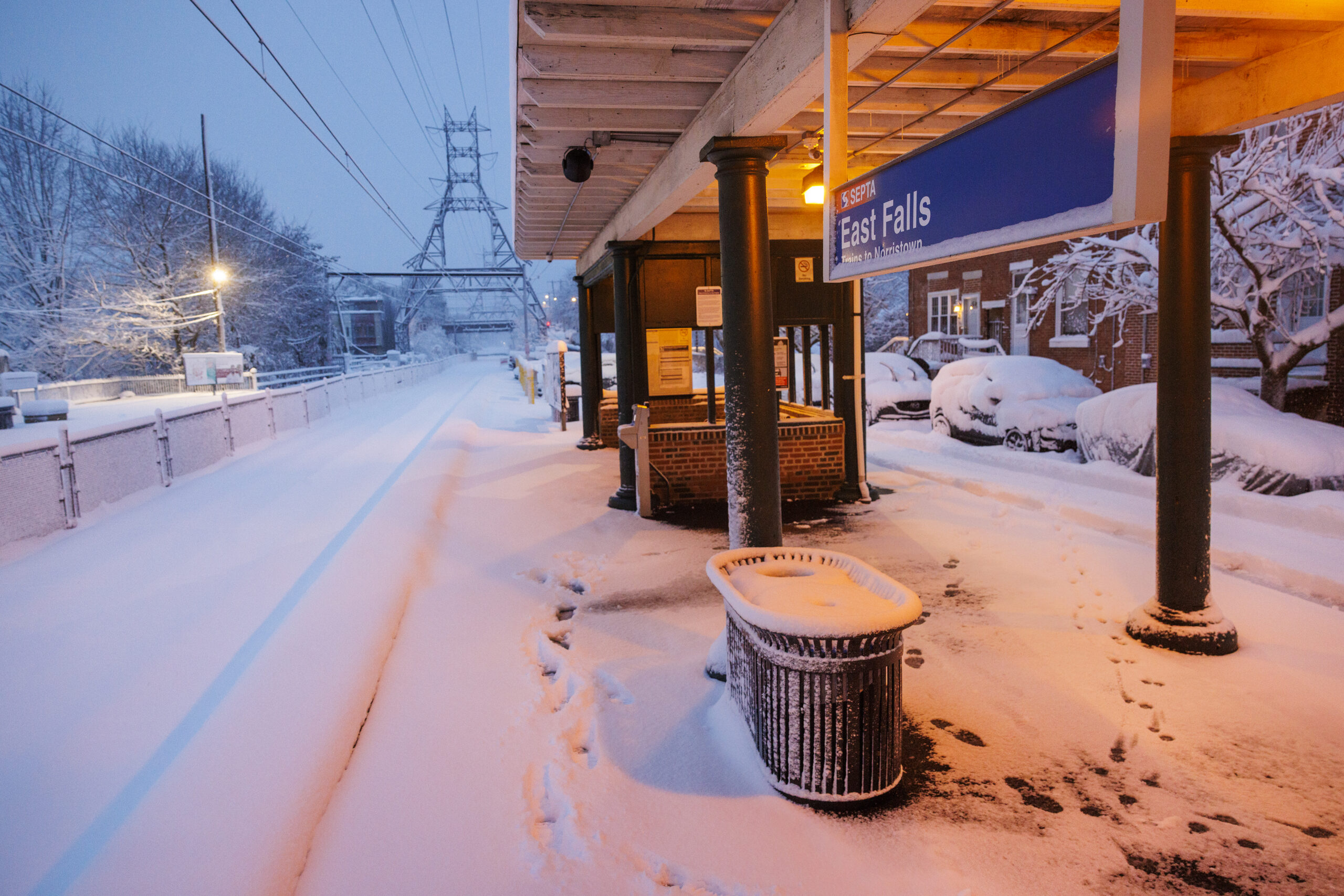
Snow covered tracks at SEPTA’s East Falls Station along the Norristown Regional Rail.
Almost all SEPTA services, besides some subway services, were temporarily suspended Monday due to the storm. But some are beginning to come back online.
Bus service is in the process of being restored as streets are cleared, the agency said.
The Center City Trolley Tunnel has reopened. The D and M lines are running on a modified service schedule, while Route G remains suspended.
Regional Rail remains suspended until safety inspections are complete. If Regional Rail service returns, it will follow a Saturday schedule.
The Broad Street Line (B), Market-Frankford Line (L), and Media-Sharon Hill Line (D) are operating as normal with some delays and cancellations.
The Norristown High Speed Line (M) is running but only operating between the 69th Street Transit Center and Radnor Station.
South Philadelphia is loving the winter wonderland
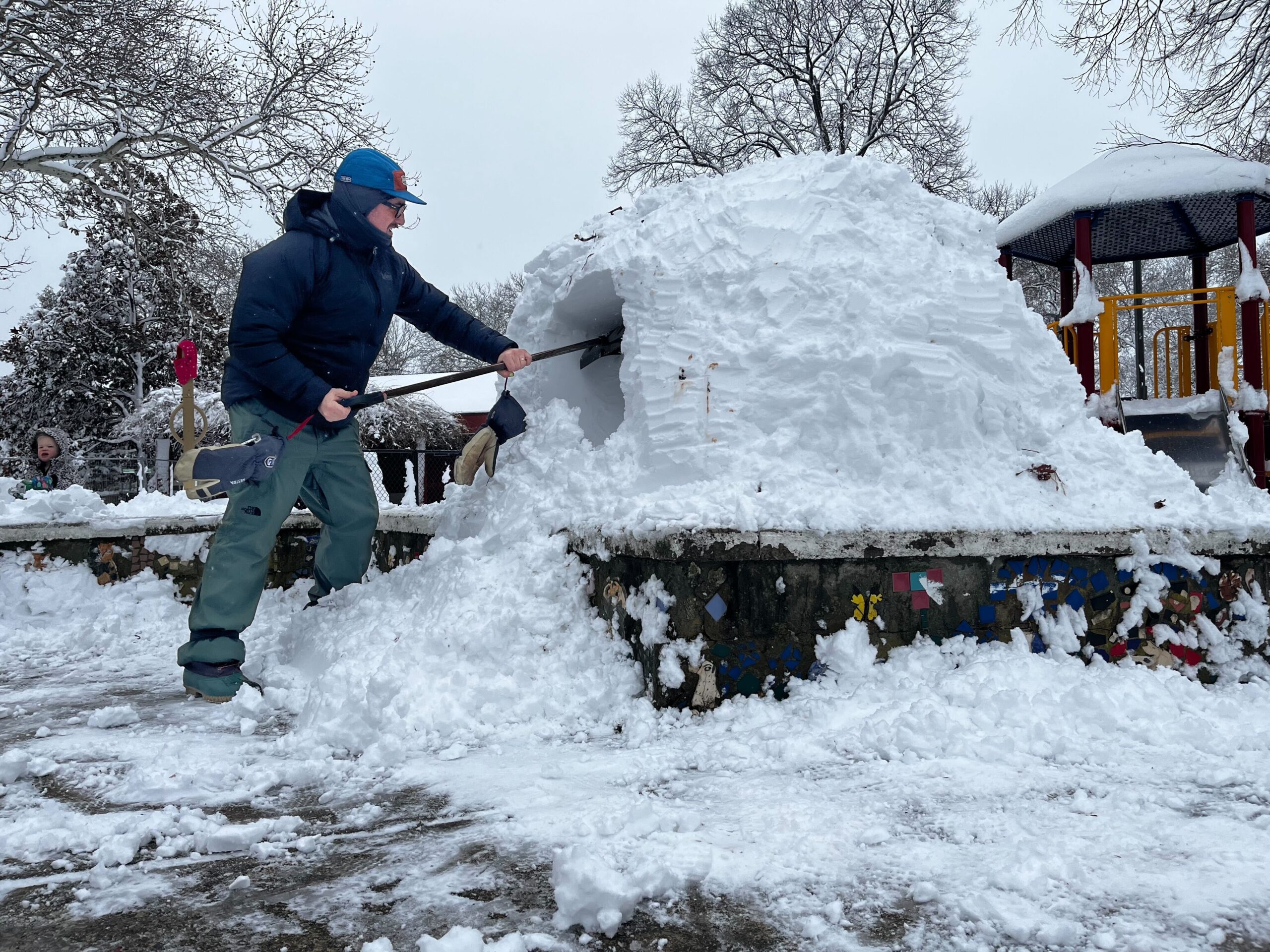
Zach Schwartz builds an igloo in Wharton Square Park Monday.
Fresh powdery snow, perfect for snowballs, blanketed Wharton Square Park in South Philadelphia after Sunday night’s snowstorm. Laughter from the playground, shovels scraping concrete, and snowmen slowly rolling into form took over the park on Monday morning.
Two men in particular came with a mission: to build an igloo for their kids. Zach Schwartz, 33, and Josh Feist, 33, of Point Breeze shoveled a path to the playground, piling up a more than five-foot snow pile. Feist, who is a mason, helped stabilize the frame while Schwartz carved out the inside.
“We have a really close crew of families in the neighborhood, so we’re here at the park like every day, no matter what. With the snow, we just have more fun things to do,” Schwartz said, who has lived in Philly since 2016. In recent memory, this storm had some of the most snowfall, Schwartz said, but that it doesn’t compare to the frozen snow of last month.
“The last snowstorm was a tough time for everyone, and I think the city was kind of in shock a little bit,” Schwartz said.
Samantha Schranck and John Gabel were out walking their dog enjoying the warmer temperatures compared to last snow storm. “I already had a day off, so I’m going to be a kid again and treat it like a snow day,” Schrank.
While snow removal is a much easier task this time around with snow that Gabel said is less frozen and easier to pick-up, the couple is hoping city streets and trash service are up to par this week.
“I’m very curious to see how the city clears the streets this time because it was a mess and took a long time in our neighborhood to clear snow from streets and take care of the trash build up,” Schranck said.
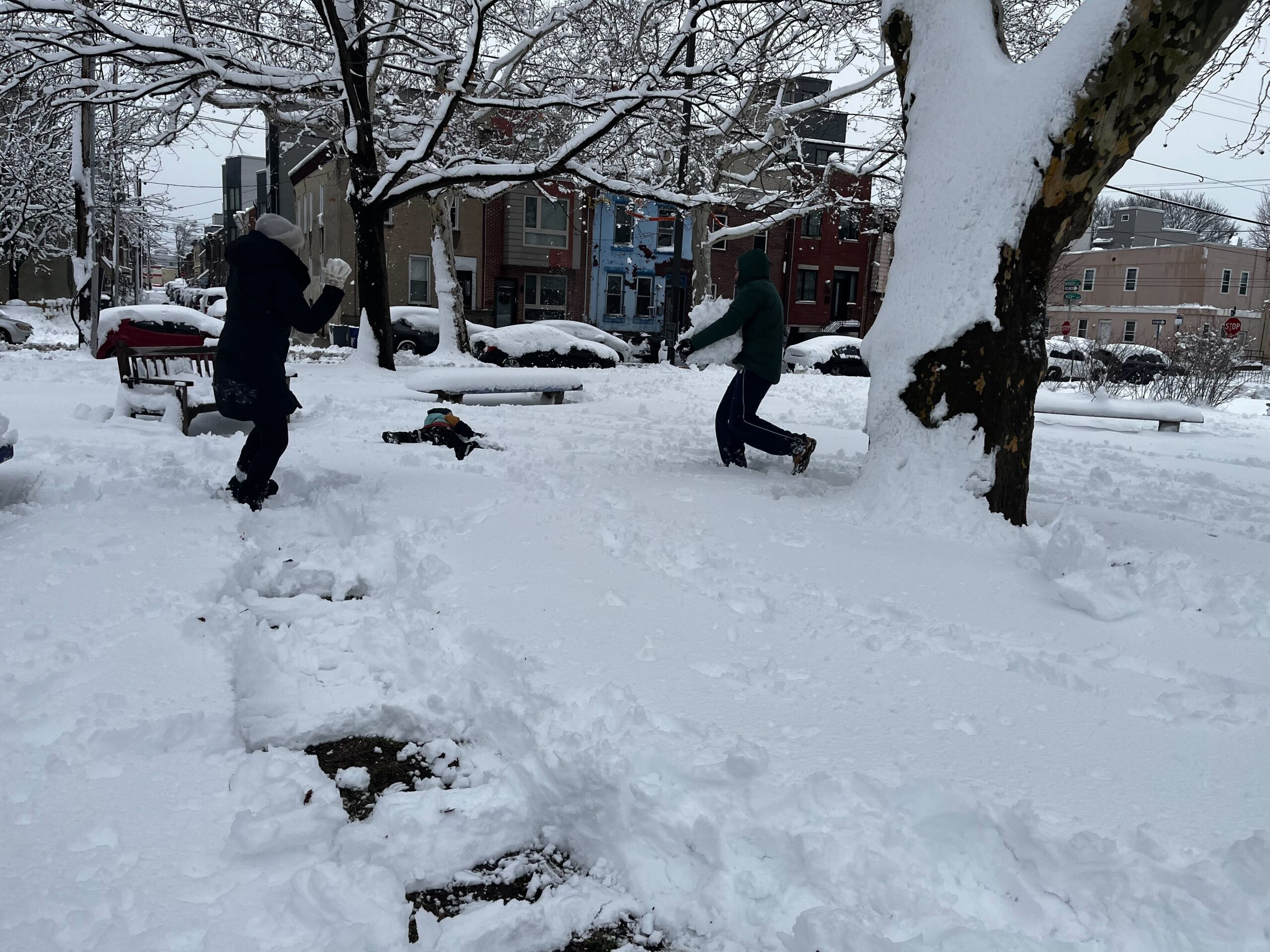
Sonia Odenthal (lft) throws a snowball at her son, Finn, while her husband Eric carries a giant snowball in Wharton Square Park Monday
On the other side of Wharton Square, Sonia Odenthal was having a snowball fight with her husband, Eric, and son, Finn. Despite trekking through the snow with a broken foot wrapped in a boot and water-proof bags, Odenthal couldn’t get enough of the snow.
“I’m Russian so this feels like home,” she said. “Even with a broken foot, I don’t care, I’m still out here. I love the snow.”
Philly’s snow accumulation is very reminiscent of her homeland, Sonia said, however, the temperature is much more reasonable. “A couple weeks ago when it got cold was very similar to home,” she said.
The trio will usually come to the park on snowy days for snowball fights or rolling snow into gigantic three-foot-high balls. The only thing missing in South Philadelphia is a good sledding hill, the Odenthal’s said.
Museums across the Philly region close due to snow
A griffin on the roof of the northern wing of the Philadelphia Art Museum.
Several major Philadelphia arts institutions have announced closures due to emergency weather.
Early Monday, the Philadelphia Museum of Art, the Franklin Institute, Philadelphia’s Magic Gardens, and Calder Gardens announced closures on their social media accounts.
The PMA said it’ll reopen on Tuesday.
The Mütter Museum, Rodin Museum, the Museum of the American Revolution, Independence National Historical Park, Otherworld Philadelphia, National Liberty Museum, the Independence Seaport Museum, have also announced closures.
Per their usual hours of operation, the National Constitution Center, Eastern State Penitentiary, Penn Museum, the Fireman’s Hall Museum and others are closed on Monday.
Multiple sections of the New Jersey Turnpike closed due to numerous accidents
Multiple sections of the New Jersey Turnpike are experiencing major delays and closures after a series of accidents Monday morning amid whiteout conditions.
Gov. Mikie Sherrill extended a travel ban through noon, citing visibility issues, though those restrictions exclude the Turnpike and essential workers.
In an interview with Fox 5 New York early Monday, Sherrill said plowers were “down to pavement” on the Turnpike.
Still, throughout the early morning, reports of disabled vehicles, cars spinning out of control, and crashes have lit up the state’s 511 map, which provides real-time traffic updates.
Around 8:20 a.m. a southbound tractor trailer jack-knifed along entrance ramp interchange 8A-NJ32 in South Brunswick, leading to an all-lane blockage.
Shortly after 9 a.m. two crashes, minutes apart, played out in inner turnpike roadways in Carteret. First a northbound vehicle crashed north of Interchange 12, leaving one of three lanes blocked. Shortly after, a southbound vehicle crashed along Interchange 12. As of 11:15 a.m., all lanes were blocked.
At around 10 a.m. a southbound vehicle spun out south of Interchange 8A-NJ32 blocking one of three lanes.
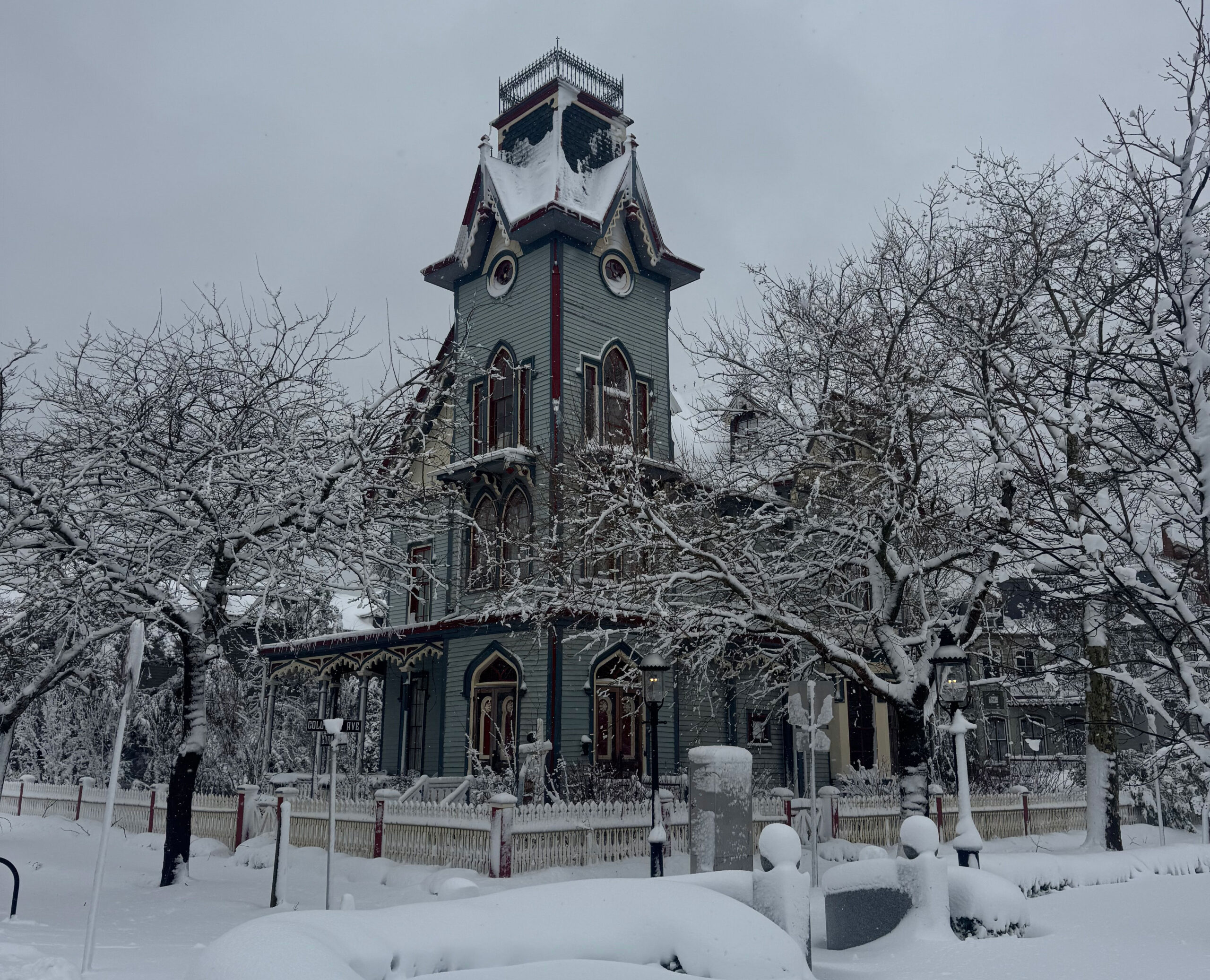
Cape May Mayor Zack Mullock said his coastal city of Victorian homes “looks beautiful” covered in the foot of snow that had fallen by Monday morning.
“It looks like a snow globe,” he said.
“We had a good amount,” Mullock said, speaking by phone, from atop a tractor, which he said he was using to help plow out some neighbors. “There’s a few individual homes where a tree took a power line. The tides were ok. We were a little nervous about that. Overall, I would say things are pretty good.”
He cautioned his residents about shoveling themselves. “We have a lot of elderly in Cape May who shouldn’t be shoveling.”
Updated snowfall totals from across the Philadelphia region
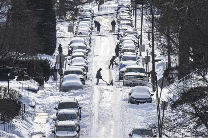
Residents of W. Stanton, Philadelphia clearing snow from cars and sidewalks Monday.
More than a foot of snow fell overnight across the Philadelphia region, though the Jersey Shore was hit hardest by a powerful winter storm that was still dropping heavy snow Monday morning.
Due to heavy snow bands, the totals varied widely. Ten inches of snow were recorded in Boothwyn Monday morning, while 15 inches dropped overnight in Mount Ephraim, Camden County.
Officially, 13.7 inches fell at Philadelphia International Airport as of 7 a.m.
window.addEventListener(“message”,function(a){if(void 0!==a.data[“datawrapper-height”]){var e=document.querySelectorAll(“iframe”);for(var t in a.data[“datawrapper-height”])for(var r,i=0;r=e[i];i++)if(r.contentWindow===a.source){var d=a.data[“datawrapper-height”][t]+”px”;r.style.height=d}}});
Here are the latest snowfall totals from the National Weather Service, measured by trained spotters or observed by the service itself:
Philadelphia
Philadelphia International Airport: 13.7 in (7 a.m.)
Cape May County hospital lost power briefly overnight
Cooper University Hospital Cape Regional in Cape May Court House lost power overnight in the storm “for a very short period of time” and reverted to its back up generators, said Cooper Health spokesperson Nancy Marano.
“It was fully on back-up emergency power so no services were lost,” she said.
Some Camden residents must boil water due to water main break
A water main break may pose a threat to the water quality in Camden Monday morning, American Water Contract Services said. As a precaution, some areas of Camden are under a “boil water” advisory while crews assess the water supply.
The water main break occurred at Ninth and Jefferson Streets on Sunday night. In response, American Water was advising all residents living between Ferry Avenue and Collings Road in Camden, which includes the Fairview, Morgan-Village, and Centerville neighborhoods, to not drink or use tap water until further notice.
The advisory will remain in effect until repairs are complete and water quality is tested to be safe.
Instead, residents should use bottled water or bring tap water to a rolling boil for at least one minute and let it cool before using, according to American Water. Boiling water kills bacteria that could be found in the water.
Boiled or bottled water should be used for:
Drinking
Preparing Foods/Cooking
Mixing baby formula
Washing vegetables/fruits
Making Ice
Brushing teeth
Washing dishes
Affected residents should throw away uncooked food, beverages, or ice cubes made with tap water on Sunday night or today. American Water also cautioned residents to not swallow water when showering or bathing.
The following measures are also recommended:
Rinse hand-washed dishes with a diluted bleach solution (one tablespoon of household bleach per gallon of tap water) or clean your dishes in a dishwasher using the hot wash cycle and dry cycle.
Do not use home filtering devices in place of boiling or using bottled water; most home water filters will not provide adequate protection from microorganisms.
Use only boiled water to treat minor injuries.
Provide pets with drinking water that has been boiled (and cooled).
With an official snowfall of 13.7 inches measured at Philadelphia International Airport, the city’s seasonal total bumped to 29.8 inches.
Among the 142 winters in the period of record, this one now is tied for 27th place, and also is the snowiest since 2018.
You may have noticed snow has been scarce in recent winters, and this also will be the first one since 2021 with snowfall above the normal, which is 23.1 inches.
Historically, totals have ranged radically from 78.7 inches in the historic winter of 2009-10 to nothing in the winter of 1972-73.
Photos: Heavy snow and wind bring down trees in Rittenhouse Square
Wet snow brought down trees in Rittenhouse Square in Philadelphia Monday. Several trees around Rittenhouse Square were taken down by the storm.
// Timestamp 02/23/26 9:08am
Amtrak cancels more than 30 trains, Keystone Service to resume at noon
Amtrak canceled more than 30 trains on its Northeast Regional and Acela train lines on Monday morning due to the snowstorm. Keystone Service has been suspended until at least noon.
Alerts went out at 4 a.m. announcing a slew of cancellations and advising riders to book the next available train. Amtrak will notify impacted customers directly. Customers whose trains are cancelled can rebook or request refunds, without penalties, on Amtrak.com, through the Amtrak mobile app, or by calling the Amtrak Care Center at 1-800-USA-RAIL.
Amtrak will operate 55% of planned service Monday on the Northeast Regional rail service, 33% of planned Acela trains, and half of the planned trains on the Keystone Service trains, when it returns at noon.
Northeast Regional carries thousands of passengers every day with Philadelphia and New York among some of the leading destinations, and the William H. Gray III 30th Street station among Amtrak’s busiest in the country.
‘Storm of a generation’: N.J. travel ban continues until noon, tree cutters ‘out in force’
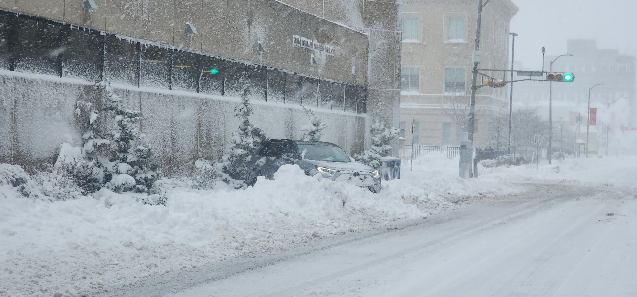
A car stuck in the plowed snow on Pacific Avenue near Ohio Avenue in Atlantic City Monday.
Gov. Mikie Sherrill said Monday morning that New Jersey’s travel ban would continue until noon as white out conditions were making it difficult to see, especially on major roads like the Garden State Parkway.
“It was an early morning call,” she said, in an online interview with South Jersey weather forecaster Nick “NorEaster Nick” Pittman. “It was difficult to see the edge of the road where the guardrails were. We still have snow falling in a lot of parts of our state.”
She said more than 200,000 people had lost power across New Jersey, but that more than half of them had already had power restored. “which is pretty shocking given how horrible the conditions are.”
“They’re hiking in to some pretty clobbered areas of the state,” she said of the utility workers, 5,000 of whom had been “predeployed,” she said.
With heavy snow bringing down tbranches and trees, she said, “We have the tree cutters out in force.”
She said the magnitude and reach of the storm across New Jersey, with overnight blizzard conditions and the dumping of a foot or more of snow, was “generational.”
“I don’t think we’ve seen anything like this since 1996,” she said.
Coastal flooding in Atlantic City ‘underperformed in a good way’
Ice floods onto the street along Massachusetts Avenue in Atlantic City overnight Monday, Feb. 23, 2026.
Scott Evans, Atlantic City’s Fire Chief and head of Emergency Management, said flooding in the coastal city was not as bad as feared. “The flooding definitely underperformed in a good way,” he said. “We’ll take it any day.”
He described it as “the low end of moderate” level of flooding, something Atlantic City is used to dealing with. The city had about a foot of snow by daylight, he said, with persistent high winds over night prompting numerous calls for “arcing wires.”
At the 11 p.m. Sunday high tide through around 2:30 a.m., there was about 8 to 10 inches of water in “some of our lowest lying areas,” he said, including Massachusetts Avenue, Bungalow Park and Lower Chelsea.
“We were expecting to get more,” he said in a phone interview Monday morning. “No significant problems.”
The city was still seeing the “residual ice” in the streets from the flooding, he said. Crews were out plowing streets, he said, and had mostly tamed the city’s famous Boardwalk. “They always have a team assigned to the Boardwalk,” he said.
He said he was not expecting any issues from the next high tide around 12:15 p.m. in the back bays.
Hundreds of flights canceled at Philadelphia International Airport
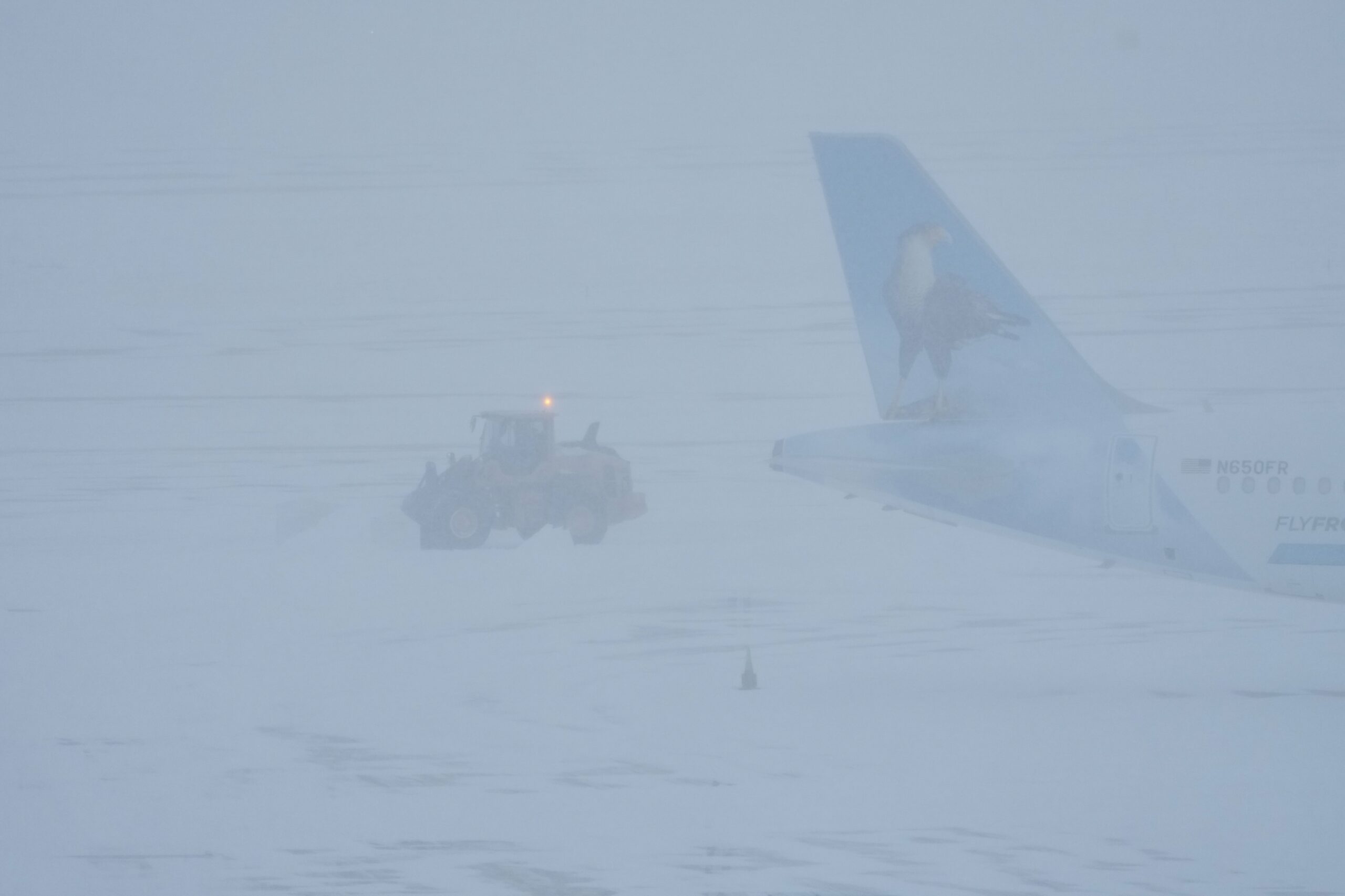
Airport crew plow snow during a winter storm in Philadelphia last month.
At Philadelphia International Airport, 604 flights had been canceled as of Monday morning, as snow blanketed the city. Another 42 flights were canceled for Tuesday, according to FlightAware, which tracks flights.
“Passengers should check on the status of their flights with their airlines—the airlines will also provide guidance on what passengers should do in the event their flights are cancelled,” said airport spokesperson Heather Redfern.
The airport also announced ticketing at Terminal A-West, B, and C and TSA checkpoints would be closed Monday.
Some 40 million square feet need to be cleared at the airport when snow falls, including on airplane runways and taxiways. The airport also has an additional 11.9 million square feet of space on roadways, ramps and parking lots.
While airplanes are deiced by the airlines, the department of aviation is required to ensure runways and taxiways are clear.
More than two inches of dry snow or half an inch or wet snow trigger closing a runway, according to regulations by the Federal Aviation Administration, noted Redfern. Even if flights are canceled by airlines or in the event that the FAA issues a ground stop, the airport does not close, Redfern noted in January ahead of another snowfall.
Snow will continue across the Philly area through the morning
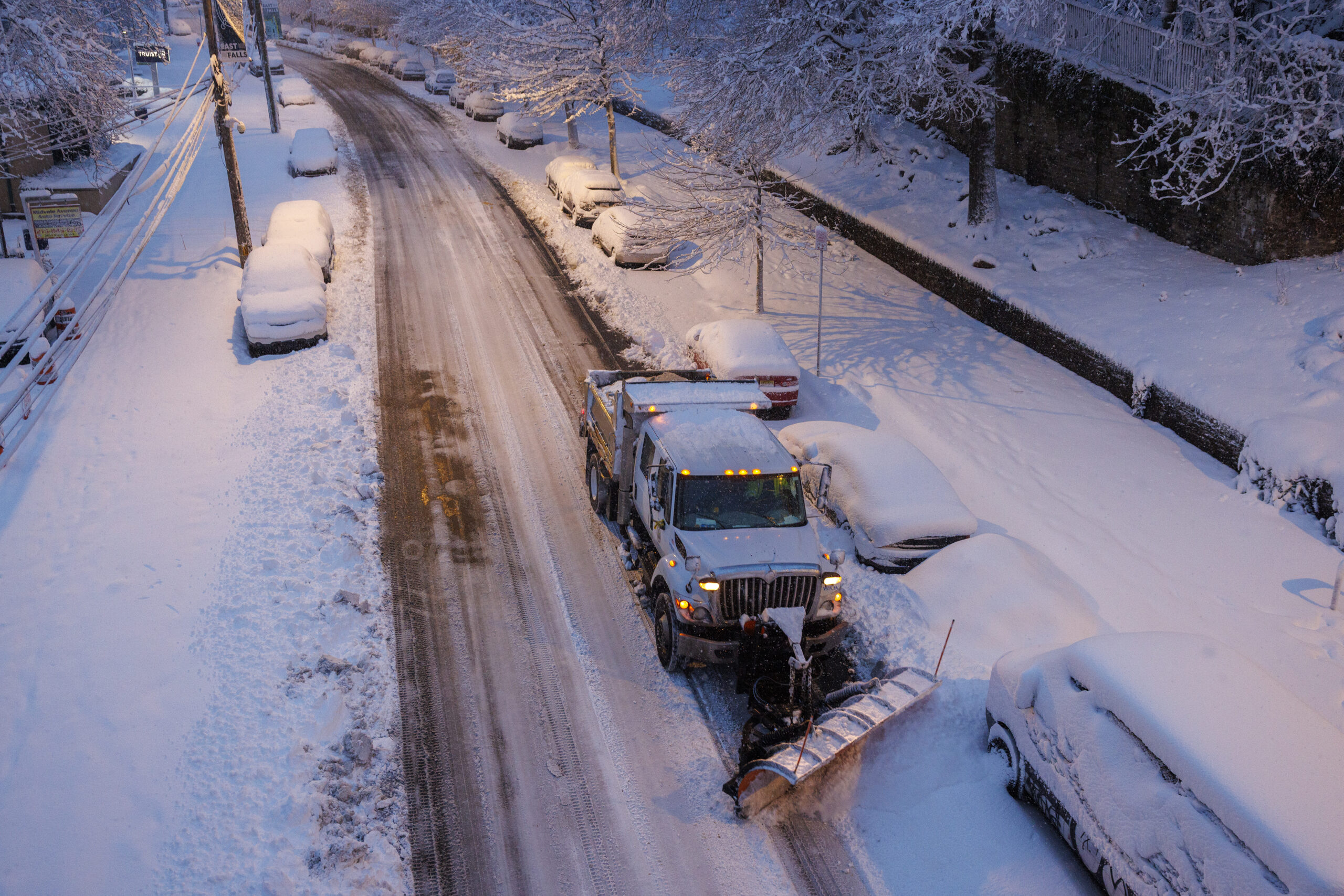
A Sanitation Department dump truck clears snow on Midvale Avenue in the East Falls section of Philadelphia Monday.
As much as a foot of snow fell overnight across the Philadelphia region as heavy snowfall from a massive winter storm continues across the Delaware Valley.
Due to heavy snow bands, the totals varied widely. Ten inches of snow were recorded in Boothwyn Monday morning, while 11 inches dropped overnight in Mount Ephraim, Camden County.
Snow will continue throughout the morning, with another 3 to 5 inches expected to fall in Philadelphia, according to National Weather Service meteorologist Sarah Johnson.
The highest totals are expected along the northern and central Jersey Shore, with the heaviest bands dropping as much as 2 inches of snow per hour or greater. Another 4 to 6 inches of snow is possible for Southern New Jersey and parts of Central and Southern Delaware.
At the National Weather Service’s Mt. Holly observatory, 18.5 inches of snow had fallen as of 5:15 a.m. Monday morning.
2:30 AM Monday: Near blizzard conditions at our office under the main snow band. We are now up to 14.0" of snowfall. Snowfall rates remain around 2" per hour under the band. Please do not travel if you are in the Blizzard Warning area! #NJwxpic.twitter.com/t8VCjczG2y
Snow is expected to taper off by noon, forecasters said, but strong winds and blowing snow will continue through at least 5 p.m., creating dangerous driving conditions. Wind gusts in Philadelphia could reach upwards of 40 miles per hour during the day.
One bit of good news: Tidal flooding isn’t expected along the Delaware River due to the direction of the wind, so it won’t be a concern for Philly or the immediate area.
Why have these storms been happening on the weekend?
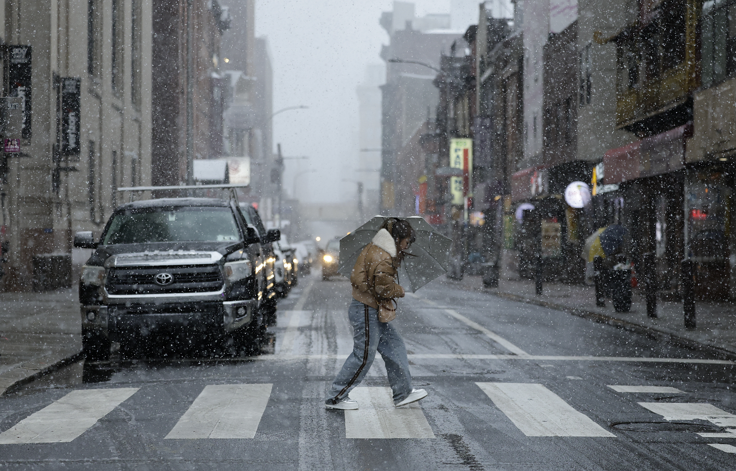
A pedestrian walks across Race Street in Chinatown Sunday.
If you perceive the atmosphere for whatever reason has a grudge against weekends, that’s understandable.
Precipitation has fallen on six of the last seven weekends, with snowflakes making appearances in all of them, most emphatically on Jan. 25, when 9.3 inches of snow and sleet balls accumulated, and then refused to leave.
The storm rhythm actually is a quite common one, meteorologists say.
It has to do with the spacing between weather systems. Sometimes they show up in roughly 3½-day cycles, taking that long to traverse the country, and often it’s the second one in the cycle that is the stronger storm.
Like so many things in the atmosphere — droughts, wet periods — they keep happening, until they don’t.
We’re probably about due for a don’t, but not this weekend.
Before a single wet flake was sighted in the Philly region late Sunday afternoon, what forecasters warned would be a storm of rare severity already was having impacts on the workweek.
A blizzard warning remained in effect for Philadelphia and all of New Jersey and Delaware until 6 p.m. Monday. And while snow amounts might not qualify as “historic,” by the time it stops Monday this was expected to be the heftiest snowfall in a decade, with accumulation estimates of one to two feet.
Philadelphia hasn’t experienced a verified blizzard in 33 years, and this one would be powered by a “bomb cyclone” storm whose intensity would be similar to that of Category 1 hurricane, meteorologists said. This marked the first time ever that the entire state of New Jersey was under a blizzard warning, said Judah Cohen, a research scientist with the Massachusetts Institute of Technology.
With heavy, wet snow at the onset, and gusts howling to 45 mph on the mainland during the night — up to 55 at Shore — thousands of homes in Southern and Central New Jersey were without power Sunday night. Plus, with drier snow expected later as temperatures fall below freezing, the region may see something it hasn’t in several winters: considerable drifting.
By the time the plows are done this week, the region could end up with a mini-version of the White Mountains.
(function () {window.addEventListener(‘message’, function (e) { var message = e.data; var els = document.querySelectorAll(‘iframe[src*=”‘ + message.id + ‘”]’); els.forEach(function(el) { el.style.height = message.height + ‘px’; }); }, false); })();
In addition to heavy snows, a nor’easter that was ripening off the Virginia coast Sunday was destined to generate potent onshore winds setting off moderate flooding along the New Jersey and Delaware coasts.
The governors of Pennsylvania, New Jersey, and Delaware declared states of emergency and advised against driving.
Schools announced preemptive plans for closings or virtual learning. SEPTA suspended all bus service and warned that Monday might be a mess. PATCO said it would continue on its snow schedule Monday, Amtrak suspended its Keystone Service from Harrisburg to Philadelphia, and NJ Transit announced it was suspending service as of 6 p.m. Sunday. Philadelphia opened extra warming centers that would be available through Tuesday.
About two-thirds of the 1,460 flights scheduled into and out of Philadelphia International Airport for Sunday and Monday had been canceled by 5 p.m. Sunday.
Although the forecast updates later on Sunday were trimmed back from what the weather service said might be “potentially historic” amounts, meteorologists suggested that the conditions would warrant the region’s precautions.
The weather service’s updated predictions called for 12 to 18 inches, with up to two feet in South Jersey. AccuWeather Inc. was going with 10 to 14 inches.
“That’s nothing to sneeze at,” said Tom Kines, senior meteorologist with AccuWeather.
The weather service projections might have been “a little bit high,” said Ray Martin, a lead meteorologist in the Mount Holly office, but, “We don’t want people to be under-warned, that’s for sure.”
The storm almost certainly will reach “bomb cyclone” status, said Cody Snell, meteorologist at the Weather Prediction Center in College Park, Md.
“It will very easily qualify,” he said. The criteria is related to drops in the central barometric pressure. In layman’s terms, a bomb is one heck of a storm.
The storm got off to an uneventful start in the region with light rain falling into early Sunday afternoon with temperatures well above freezing.
But the changeover finally got underway late in the afternoon from south to north. Amounts of 1 to 5 inches were reported around the region by Sunday evening. Officially 1.7 inches had landed at Philadelphia International Airport, as of 7 p.m. Forecasters said snow could accumulate two inches an hour during the night.
Amounts likely will vary as a result of “banding,” narrow, moving corridors where snow falls heavily, said Nick Guzzo, a Mount Holly meteorologist. Banding already was evident early Sunday evening, he said.
And didn’t we just get rid of a bunch of this stuff?
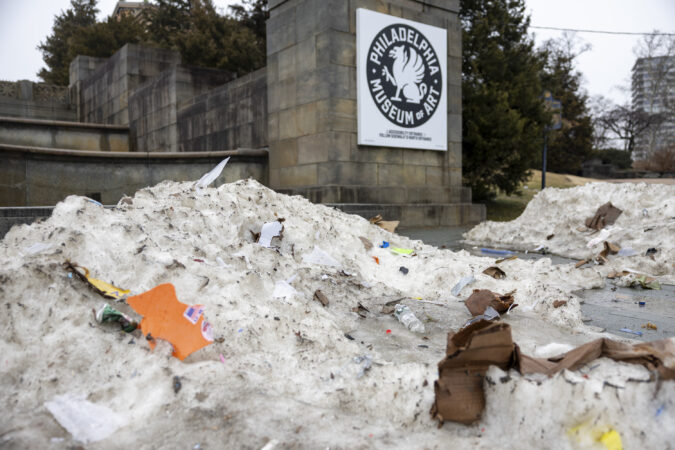
Yes, that 9.3 inches of snow and white ice that fell on Jan. 25 is survived by some debris-strewn graying and blackening mountains, but it’s otherwise gone.
It just took about three weeks.
This one shouldn’t be as tenacious, as it won’t be infused with ice balls, and it will have a tough fight with the increasing power of the February sun.
In the short term, however, it is likely to be quite obstructive.
Accumulations are likely to vary substantially. Narrow corridors of heavier snow were likely to form during the night, and areas under the bands are going to receive the highest amounts.
This also will be a “long duration” storm with its effects continuing well into Monday afternoon. Some snow could continue through the day, the weather service says.
Some folks were determined to mine the best of the situation imposed by nature.
Bartender Bill Coburn at Les & Doreen’s Happy Tap said it was a “snowload,” in which people seek refuge from the blizzard at local bars.
“I think it comes from when you’re a kid — you have a snow day and you all go out somewhere, go sledding,” said James Brenner, 43, who lives above Atlantis: The Lost Bar in Kensington. “It’s just an adult version of that.”
In Germantown, Ashley Ellis Gitongu, 33, brought her three boys to the grocery store to buy some strawberries, a final outing before the impending storm.
With another child on the way, Gitongu was dealing with it all with a certain equanimity. “I’m not too worried, but we are going to be stuck inside for two days,” Gitongu said. And it looks like they’ll be getting some exercise.
“All the furniture is out of the way in the living room so they can play soccer inside,” she said. “We have softballs, Legos, anything to keep them active and distracted.”
Among those not traumatized by it all was Eric Dobson, 57.
“These kind of winters were common when I was a kid,” said the Germantown resident. “I guess we have become soft, so we panic.”
“I don’t know why we always get milk and bread in the storms,” said Dobson with a laugh. “I don’t even think we eat that much bread.”
This story will be updated.
Melanie Burney, Kristen A. Graham, Michelle Myers, Ariana Perez-Castells, Maggie Prosser, Brett Sholtis, and Aubrey Whelan contributed to this article.
Philadelphia, Bucks, Delaware, and eastern Montgomery Counties, and all of New Jersey and Delaware, are currently under blizzard warnings through 6 p.m. Monday. That’s prompted by forecast wind gusts of up to 45 mph, combined with the heavy snow. The western suburbs are covered by a winter storm warming, with slightly lower wind speeds forecast.
The storm is expected to begin as rain before shifting to snow by midday Sunday. It’s forecast to strengthen overnight, possibly at a rate of more than 2 inches an hour, which would make driving dangerous and nearly impossible.
The last time the city experienced more than two feet of snow was 2010, when nearly 29 inches fell in early February 2010. Over a five-day period, the city was buried under 44 inches of snow, which thankfully isn’t expected this time due to a warm-up in the middle of next week.
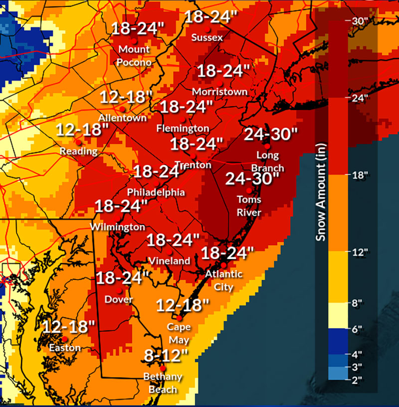
This time around, the Jersey Shore is expected to be hit hardest, with snowfall totals in and around Toms River forecast to reach as high as 30 inches.
The National Weather Service puts out forecasts for every few square miles of land in the United States four times a day through a system called the National Digital Forecast Database.
The maps below display that data. Use it to find how much snow is expected anywhere in the eastern United States. It will show the most recent forecast over the next few days.
(function () {window.addEventListener(‘message’, function (e) { var message = e.data; var els = document.querySelectorAll(‘iframe[src*=”‘ + message.id + ‘”]’); els.forEach(function(el) { el.style.height = message.height + ‘px’; }); }, false); })();
Snow began falling in Philly early Sunday evening and is expected to continue through Monday afternoon, with the heaviest snowfall overnight into the morning. Here’s the latest map.
A citywide snow emergency is in effect in Philadelphia, while both New Jersey and Delaware have declared a state of emergency.
DoorDash, the food delivery service, has suspended operations in Philadelphia and New Jersey amid the snow storm.
According to a company press release, DoorDash deliveries have ended as of 9 p.m. on Sunday and will not begin again until at least 12 p.m. Monday, depending on conditions at that time.
“We’re suspending operations across impacted areas to keep our community safe,” said company spokesperson, Julian Crowley, in a press release. “This is a serious storm — we’ll resume when it passes.”
At least 15,000 without power across Southern and Central New Jersey
At least 15,000 people were without power in Southern and Central New Jersey on Sunday evening around 8 p.m., according to outage maps from energy providers Jersey Central Power & Light and Atlantic City Electric.
In the Philadelphia area, as snow blanketed the region, roughly 1,500 Peco customers were affected by outages around 7:50 p.m., the company’s outage map indicated. Residents can monitor the company’s outage map to see where an outage has happened and the estimated restoration time.
Residents can receive outage alerts from Peco by texting “ADD OUTAGE” to 697326. To report an outage, text “OUT” to the same number or call 1-800-841-4141 or use the company’s online portal. For downed power lines, call the same number.
PSE&G customers in New Jersey can check the energy company’s outage map. As of 8 p.m., the utility provider had restored service to some 4,600 customers who had lost power on Sunday, according to a company press release. Around 8:50 p.m. nearly 2,800 customers were impacted by outages in the energy provider’s service area which includes parts of Burlington, Camden, and Gloucester Counties and stretches up to Newark.
To report an outage or downed line to PSE&G, call 1-800-436-7734. For hazards that result from a downed line, call 911, said Marijke Shugrue, senior director of communications at PSE&G during a virtual press conference on Sunday.
Never use a power generator indoors during an outage, said Shugrue.
Downed power lines can be very dangerous, and people should stay away from them, Shugrue added, advising people not to touch anything that is in contact with that downed line.
If you can smell gas indoors, exit the building, move at least 350 feet away and call 911, said Shugrue. Peco also advises customers to leave the area immediately if gas is suspected. For an emergency related to gas specifically, customers can call Peco at 1-844-841-4151.
Outside homes, snow should be cleared from pipes, vents, and meters so that carbon monoxide doesn’t accumulate inside, PSE&G advises.
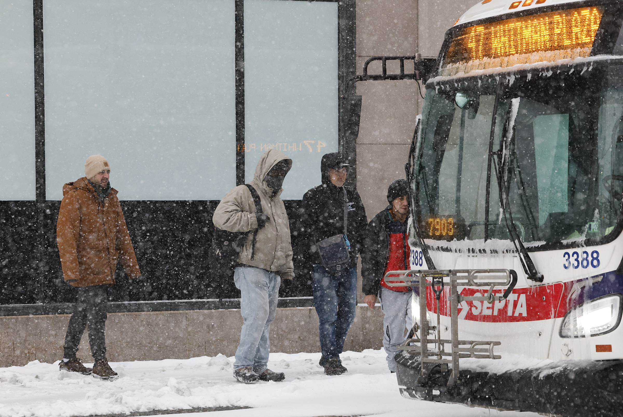
SEPTA riders board the 47 bus at 8th and Market Streets in January.
On Sunday evening SEPTA issued updated guidance on available service for the rest of the day.
All SEPTA bus routes will be suspended at 10 p.m. Sunday, the transit agency announced.
Regional Rail trains and the Norristown High Speed Line will operate until the end of scheduled service on Sunday evening.
The Center City Trolley Tunnel will close at 9 p.m. Sunday. Service on trolleys will continue until the scheduled end of service on Sunday evening or until conditions permit it.
The D Line Trolley route is currently being operated by a bus. That service will conclude at 10 p.m. Sunday and the trolley service by train will resume in the morning weather permitting.
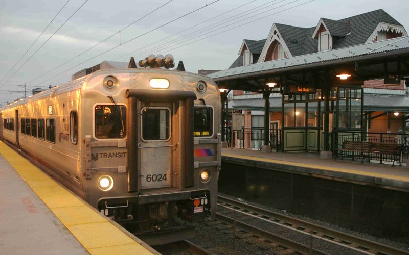
An NJ Transit train pulls into the Red Bank station.
NJ Transit will suspend its all rail service by 9 p.m. Sunday, the agency announced in a news release.
Earlier, the transportation agency stopped its bus, light rail, and Access Link services. Trains were initially excluded from the closures, but Gov. Mikie Sherrill warned the shutdown was likely.
Some routes will end service before 9 p.m., but no trains will leave their origin point after 9 p.m. Customers should check the transit authority’s website or social media for updates.
Bands of heavy snow moving across the Philly region
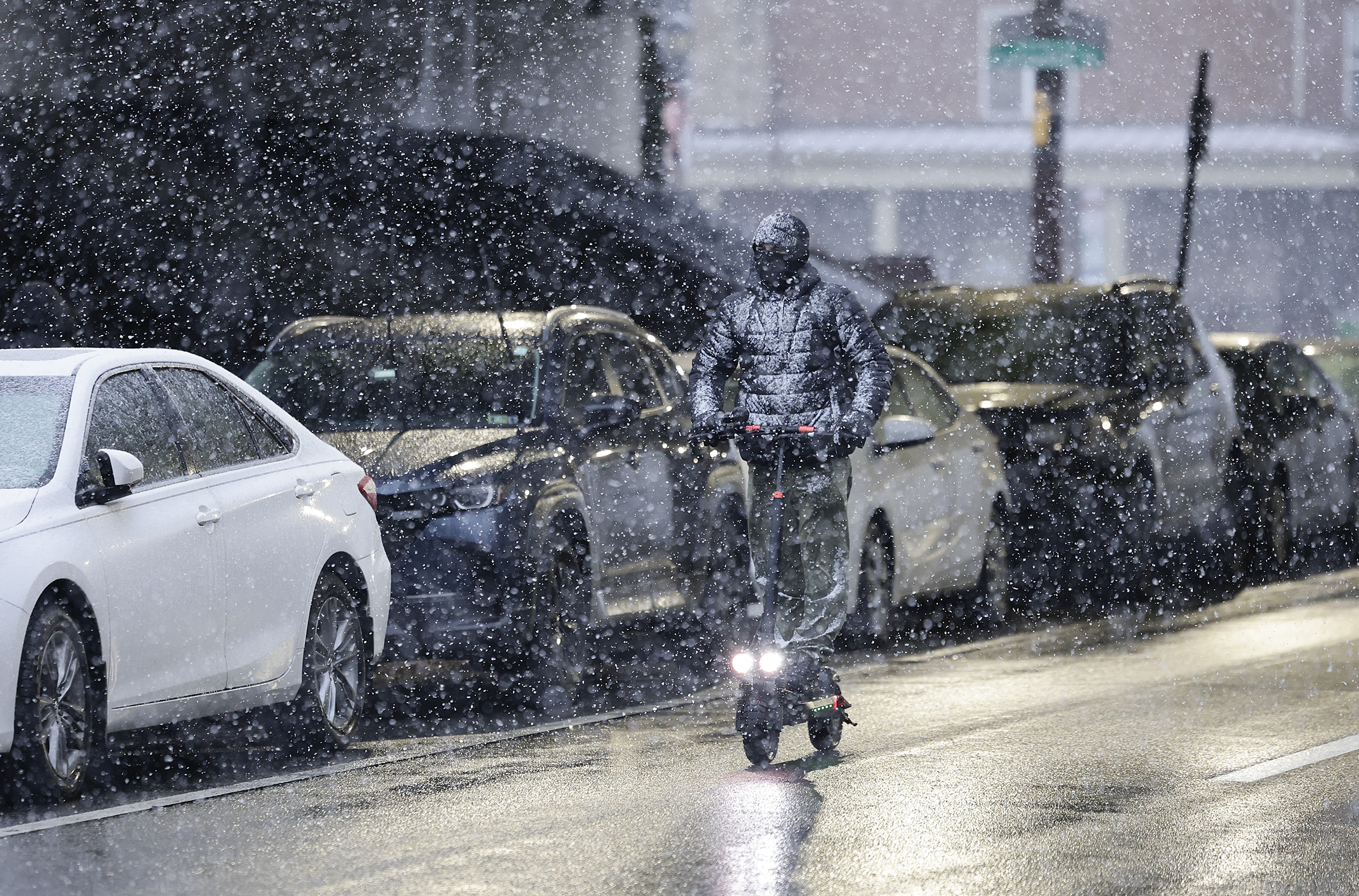
A man rides his scooter along N. 4th Street as snow falls.
Some “bands” of heavy snow were moving across the region Sunday evening, and that is likely to continue through the night, said Nick Guzzo, meteorologist with the National Weather Service in Mount Holly.
“Banding,” in which narrow corridors of heavy snow migrate from place to place, are common during winter storms. Areas under the bands can receive a quick couple of inches of snow.
By nightfall some totals of 1 to 2 inches were reported in the Philadelphia area and at the Shore. Forecasters said rates of two inches an hour were possible at times.
Totals are likely to vary around the region, in part to the randomness of banding, said Guzzo.
Banding or not, everyone is going to be seeing a whole lot of snow before it ends Monday, he said.
The weather service is calling for 12-18 inches in the immediate Philadelphia area, with as much as two feet in parts of South Jersey.
Some drifting is possible later when winds – gusting up to 45 mph inland, and 60 mph at the Shore – kick up and the snow becomes drier, said Guzzo.
(function () {window.addEventListener(‘message’, function (e) { var message = e.data; var els = document.querySelectorAll(‘iframe[src*=”‘ + message.id + ‘”]’); els.forEach(function(el) { el.style.height = message.height + ‘px’; }); }, false); })();
A slew of travel restrictions put in place across the Philly region
PennDOT reduced the speed limit on a number of Philadelphia-area highways Sunday evening, including I-95 and the Schuylkill Expressway.
The speed limit is now 45 mph on the following Philly-area roadways:
Interstates 76, 95, 295, 476, 676
U.S. Routes 1, 30, 202, 422
State Routes 63, 100 Spur and 309
PennDOT also issued Tier 4 restrictions on major roadways in Eastern Pennsylvania, which prohibits all commercial vehicles from driving. It also restricts buses, motorcycles, RVs, and passenger vehicles towing trailers.
New Jersey issued a travel ban on all non-exempt vehicles from driving on major roadways beginning at 9 p.m. The New Jersey Turnpike is not includes in the restriction.
Delaware issued Level 1 driving restrictions, which calls on residents residents not to drive “unless there is a significant safety, health, or business reason to do so.”
All Philadelphia City Council offices will be closed Monday as a massive winter storm makes its way across the region, President Kenayatta Johnson’s office announced Sunday afternoon.
A Public Health and Human Services Committee hearing on reproductive health scheduled to take place Monday will be postponed to a later day, .
Philadelphia Mayor Cherelle L. Parker had previously announced all city offices and schools would be closed Monday due to the storm.
Hundreds of flights canceled at Philadelphia International Airport
Philadelphia airport crew plow snow during last month’s storm.
356 flights had been cancelled at Philadelphia International Airport on Sunday as of 5 p.m., as snow started to blanket the city. Another 579 flights were cancelled for Monday, according to FlightAware, which tracks flights.
“Passengers should check on the status of their flights with their airlines—the airlines will also provide guidance on what passengers should do in the event their flights are cancelled,” said airport spokesperson, Heather Redfern on Sunday afternoon via email.
Some 40 million square feet need to be cleared at the airport when snow falls, including on airplane runways and taxiways. The airport also has an additional 11.9 million square feet of space on roadways, ramps and parking lots.
While airplanes are deiced by the airlines, the department of aviation is required to ensure runways and taxiways are clear.
More than two inches of dry snow or half an inch or wet snow trigger closing a runway, according to regulations by the Federal Aviation Administration (FAA), noted Redfern. Even if flights are canceled by airlines or in the event that the FAA issues a ground stop, the airport does not close, Redfern noted in January ahead of another snowfall.
The machinery that has been used at the airport to tackle snow in the past sports weather related names: Snow Angel, Ice Wookie, Multifarious, Snowmizer, Snow Slayer, Time Bandit, Arctic Fox, Snow Jawn, Nor’easter, Yeti, Storm Breaker, Terra Hawk, Silver Hawk, Heatwave, Tropic Breeze, and Heatmizer.
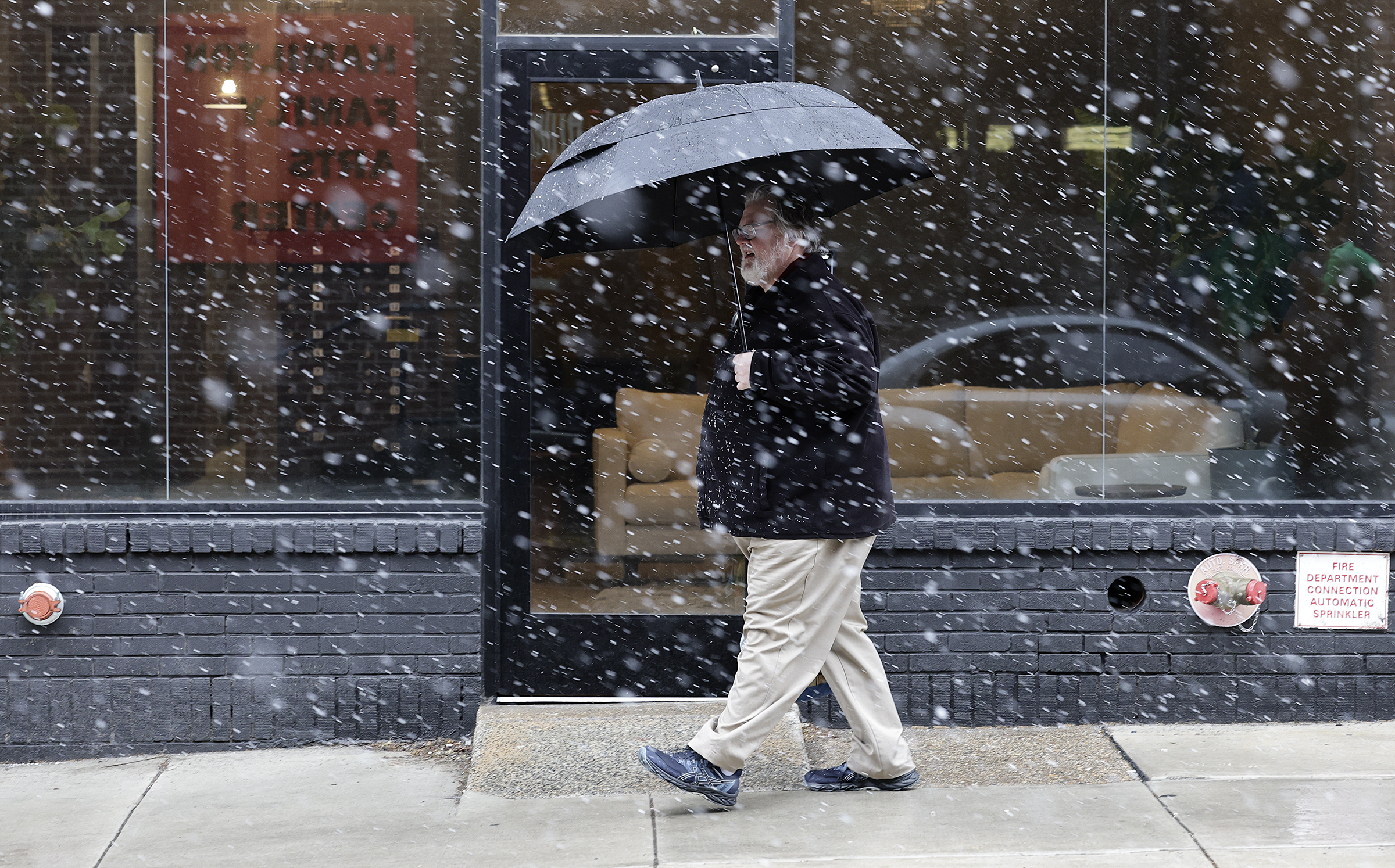
A man rides his scooter along N. 4th Street as snow falls Sunday. Rain turns into snow late Sunday afternoon in Haddonfield. Pedestrians use their umbrellas to shield themselves from the snow in Old City Sunday. Snow falls at Chew Playground in South Philadelphia. Rain shifts to snow in the Italian Market at 9th and Carpenter Streets.
// Timestamp 02/22/26 4:42pm
PSE&G prepares for outages due to ‘heavy wet snow and elevated winds’
Snow begins to pile up in Wayne, Delaware County Sunday afternoon.
Outages due to the snowstorm are expected, Brian J. Clark, senior vice president of PSE&G, the energy company based in Newark, said in a press conference around 3:45pm on Sunday.
PSE&G, which provides electricity and gas, services parts of Burlington, Camden, and Gloucester Counties.
“The increased heavy wet snow and elevated winds remain our major concerns,” said Clark on Sunday. “We may see large limbs and possible decayed trees fall and make contact with our lines.”
Roughly 3,000 PSE&G electric field personnel were on hand to help restore service on Sunday, which includes tree trimmers and line workers.
Restoring service includes clearing wires that have fallen and may be blocking roads, to ensure emergency responders can circulate. The utility company focuses on restoring service to “the largest blocks of customers first, and working concurrently with other crews downstream to restore individual homes and businesses,” said Clark.
Customers can check the company’s outage map to find out how long restoring service is estimated to take in their area.
“We’re fully staffed, which includes strategically placing folks at different points in our service territory to respond quickly to emergencies,” said Clark. “At PSE&G, our service to our customers, businesses and governmental locations is extremely important to us. Our team will be fully engaged around the clock until everyone is restored.”
‘Code Blue’ for Philadelphia, city to open warming sites
The Hub of Hope will serve as a warming site during the storm.
City officials on Sunday instituted a “Code Blue” that’s set to last until 9 a.m. Tuesday.
A Code Blue is declared when precipitation is falling and temperatures are 32 degrees or lower, or when temperatures feel close to or below 20 degrees due to the wind chill. The designation means that the city sends out outreach teams 24 hours a day to find people without shelter and take them to “safe indoor spaces.”
It also opens up additional shelter beds, and residents in emergency housing are allowed to stay inside all day. (Some shelters require residents to leave in the morning and return at night.)
On Sunday afternoon, the city announced that warming sites would open at several locations across the city on Sunday evening:
Hub of Hope, 4 p.m.: 15th Street trolley entrance in Dilworth Park, 1 S. 15th Street
Samuel Recreation Center, 7 p.m.: 3539 Gaul St.
Kensington Wellness Support Center, 9 p.m. to 9 a.m.: 265 East Lehigh Ave.
Prevention Point, 9 p.m. to 6 a.m.: 2913-15 Kensington Ave.
People who need shelter or who see someone sleeping outdoors should call the city’s homeless outreach hotline at 215-232-1984. People can also visit a homeless intake center; the city’s after-hours intake centers are open 24/7 during a snow emergency. The city will also open its Appletree Family Center at 1430 Cherry Street, at 6 p.m. through Monday.
The city said capacity at the warming centers is 280 and shelter beds also had room to take people; typically, the city operates 3,000 shelter beds year round and adds at least 400 extra during the winter. During Code Blue, another 50 beds are added.
Some advocates said early Sunday the city should do more to get people sleeping on the streets inside. Declaring an “enhanced Code Blue,” which typically occurs after three days of Code Blue conditions have passed, would open warming centers, which allow people spaces to sit to get out of the cold. During the last cold snap, libraries served as warming centers during the day and rec centers opened to shelter people at night.
Some staff at libraries said they had been overwhelmed during this month’s unusually long enhanced Code Blue, and that the city had not provided enough resources or staff to help warming center clients. Still, advocates for homeless Philadelphians say the warming centers are a lifeline in potentially dangerous weather conditions, especially for people who are wary of entering shelters.
Rain switches over to snow in Philly; nearly 2 inches already in Somers Point
Snow falls as a pedestrian walks along N. 2nd Street in Old City Sunday afternoon.
Rain began switching over to snow in Center City Philadelphia and across the region just before 4 p.m. Sunday as residents brace for snowfall totals of a foot or more.
The agency is still calling for 14 to 20 inches of snow to fall in and around Philly through Monday morning, with the heaviest snowfall expect to take place this evening.
Heavy snow could be seen on webcams up and down the Jersey Shore, from Wildwood to Seaside Heights, areas expected to be hit the hardest by the massive storm. All of New Jersey’s 21 counties are expected to get a foot or more of snow, Gov. Mikie Sherrill warned during a news conference earlier in the day.
Camden, other school districts announce snow closures
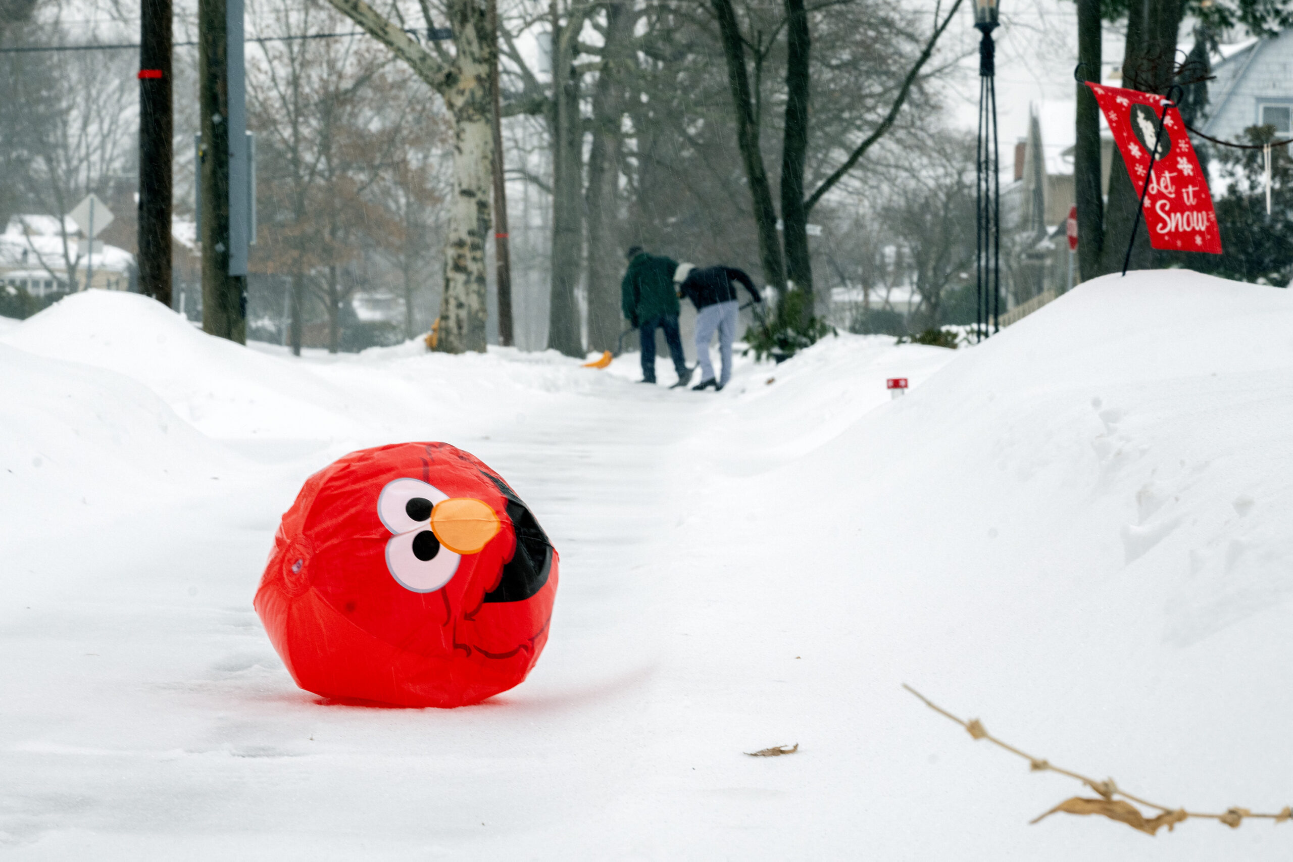
An Elmo balloon rolls along a sidewalk in Haddonfield during last month’s snowstorm.
As the blizzard bears down, school districts across the region have announced either pivots to virtual instruction or full closures.
Cherry Hill, Moorestown, and Evesham are closed, for instance; so are Lower Merion, Neshaminy and Downingtown. Pennsbury and Central Bucks have called virtual instruction days, while Upper Darby will move to a remote learning day.
Camden schools will be closed. The district has amended the school calendar, tacking on an extra day to the end of the school year. Elementary students will now finish the school year on June 24, and high school students on June 25.
In Delaware, all districts in New Castle County have announced they will be closed Monday. Because of Delaware’s state of emergency, it will be a true snow day for students – no Zoom required.
Philly residents ‘snowload’ ahead of Sunday’s storm
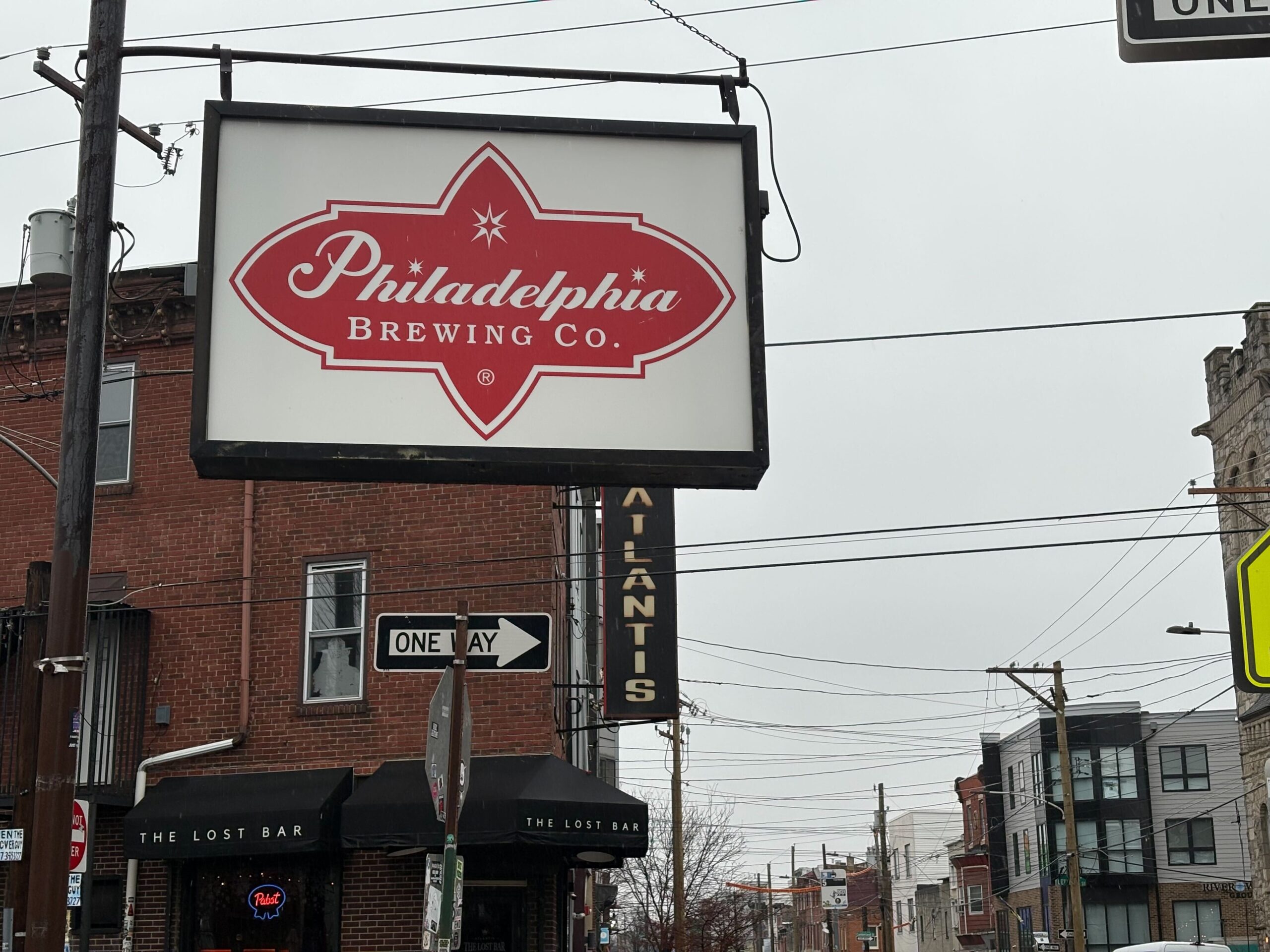
Philadelphia Brewing Co. on Frankford Avenue
The precipitation had yet to shift from rain to snow Sunday afternoon, but patrons at neighborhood bars were already buttoning up their beer coats.
It’s a phenomenon called a “snowload” — when people flock to barstools and find solace from bad weather at the bottom of a citywide special or hot toddy, according to Les & Doreen’s Happy Tap bartender Bill Coburn and others.
With the city shut down and some workplaces closed for inclement weather Monday, blizzards and beer just make for the perfect adult snow day, bargoers said.
“I think it comes from when you’re a kid — you have a snow day and you all go out somewhere, go sledding,” said James Brenner, 43, who lives above Atlantis, The Lost Bar in Kensington. “It’s just an adult version of that.”
Bartender Michelle Graser agreed – barhopping and snow frolicking brings out camaraderie between neighbors.
The crowds weren’t out in earnest just after noon Sunday; there were some stragglers who came to watch the U.S.A.-Canada Olympic men’s hockey matchup. Some of the bars expected business to pick up later Sunday evening and into Monday.
Nearly everyone who spoke with The Inquirer advised “snowload”-ers to tip their bartenders handsomely and avoid drinking and driving. Ideally, they said, to stick to your walkable, corner bar.
Slightly less snow in latest Philly forecast as heavy snow falls in Delaware
Still no snow in Philadelphia as of Sunday afternoon, but forecasters still predict about a foot will fall.
At midafternoon the nor’easter was intensifying off the coast of Virginia, and heavy snow had moved as far north as southern Delaware.
Rain continued in the Philly region, and snow was likely to hold off until 5 or 6 p.m., said Tom Kines, senior meteorologist with AccuWeather Inc.
AccuWeather’s forecast amount, 10 to 14 inches, was more conservative than the National Weather Service’s call for 14 to 20 inches. The weather service had shaved off a few inches from its earlier forecast as updated computer guidance was less bullish on the amounts.
Kines added that if the snow were to hold off until later, amounts would be lower.
(function () {window.addEventListener(‘message’, function (e) { var message = e.data; var els = document.querySelectorAll(‘iframe[src*=”‘ + message.id + ‘”]’); els.forEach(function(el) { el.style.height = message.height + ‘px’; }); }, false); })();
PATCO to operate on snow schedule Sunday and Monday
A track utility vehicle moves along the PATCO train line earlier this month.
PATCO trains will run at reduced speeds on Sunday and on an abbreviated schedule on Monday as the region braces for a significant winter storm.
On Sunday, trains will operate on a typical Sunday schedule but trips may take up to 10 minutes longer in order to maintain the safety of passengers and crew, the agency said.
On Monday, trains will operate every 12 minutes for most of the day, as opposed to the typical 5-7 minutes at peak times and every 15-30 minutes at other times.
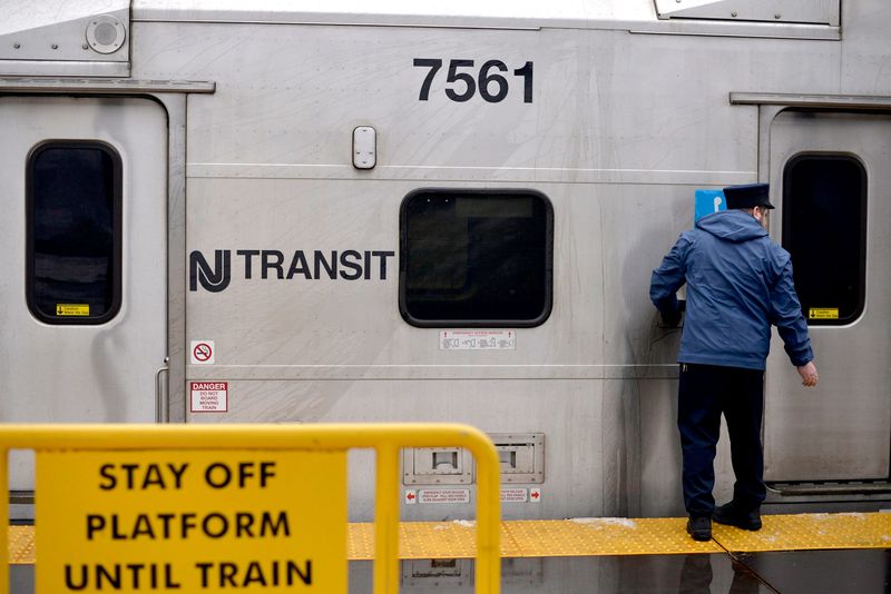
An NJ Transit employee opens a train door at the Hamilton Train Station.
NJ Transit will suspend its bus, light rail, and Access Link service at 6 p.m. Sunday, the agency announced.
Trains will continue to run, but both the agency and Gov. Mikie Sherrill warned a shutdown later this evening was likely.
Speed restrictions of 35 miles per hour will go into effect on the New Jersey Turnpike, Garden State Parkway, and other highways through the state at 3 p.m.
“In our last storm, I said, ‘don’t travel if you don’t have to.’ Now, I’m saying, ‘don’t travel tonight.’ It’s dangerous,” Sherrill said at a Sunday afternoon news conference.
‘These kind of winters were common when I was a kid’
Eric Dobson, 57, went shopping for groceries in Germantown Sunday before the snowfall began.
Holding a single grocery bag, Eric Dobson, 57, was taking the impending storm with calm and nostalgia.
“These kind of winters were common when I was a kid,” said the Germantown resident. “I guess we have become soft, so we panic.”
With enough salt still stocked up at his home from last month’s storm, Dobson’s mind was on getting some groceries at the Germantown Weavers Way Co-op.
“I don’t know why we always get milk and bread in the storms,” said Dobson with a laugh. “I don’t even think we eat that much bread.”
A last-minute food craving sent Norman Bayard, 52, to the grocery store.
“I’m ready to hunker down,” Bayard said. “My family is at home; we have water and flashlights, but we didn’t have all the ingredients for the chili.”
Ashley Ellis Gitongu, 33, brought her three boys to the grocery store as a last outing before the storm.
“I’m not too worried, but we are going to be stuck inside for two days,” Gitongu said, looking at her 8- and 5-year-old boys roughhousing.
With schools closing in Philly, she predicts “a lot of arts and crafts are in our future.” Her husband, she said, will take the children sledding. But if snow fun isn’t possible, they found a solution during the last storm, turning their home into an “open house.”
“All the furniture is out of the way in the living room, so they can play soccer inside,” Gitongu said. “We have softballs, legos, anything to keep them active and distracted.”
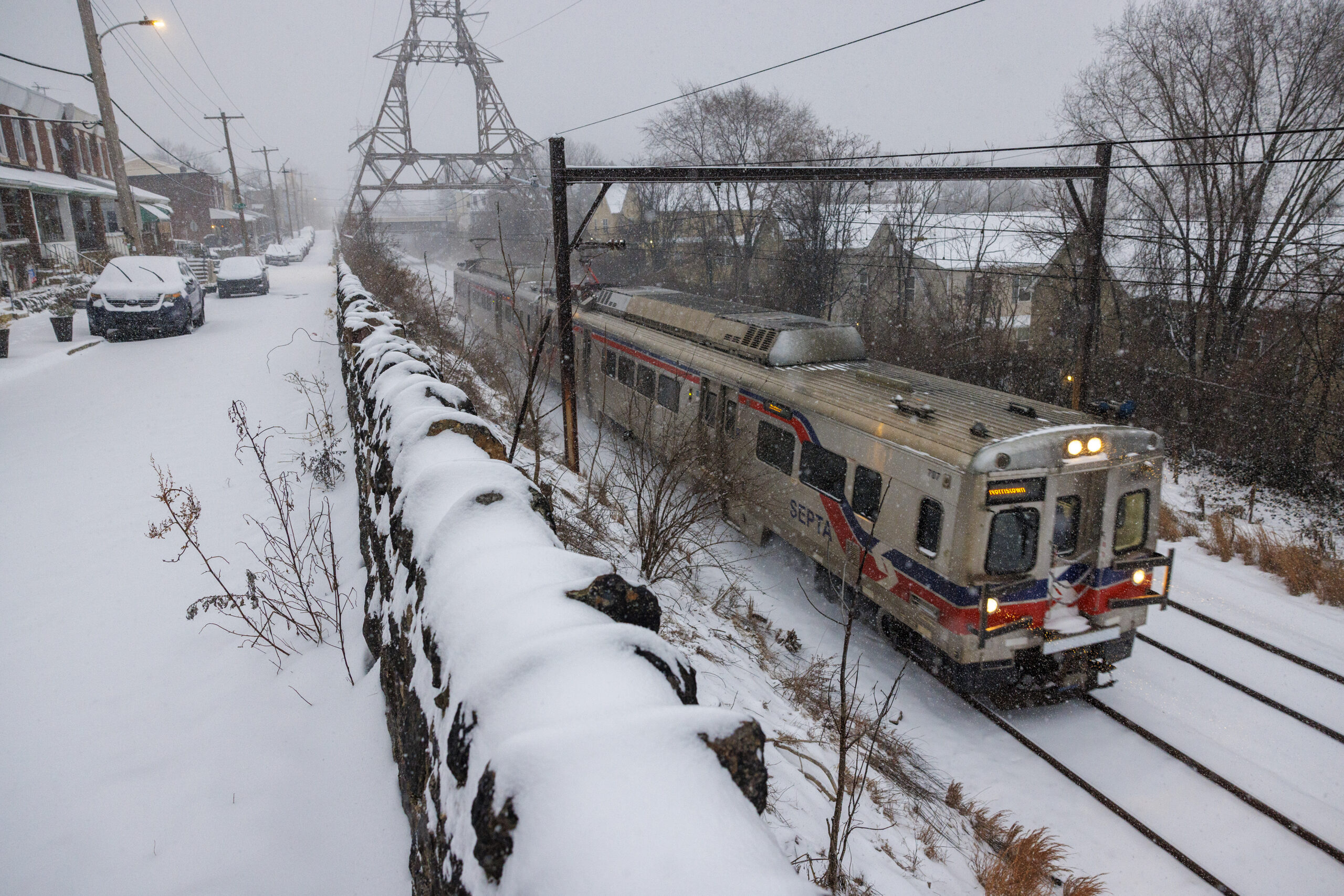
A SEPTA Regional Rail train heads through East Falls during a snowstorm last month.
As the region awaits the arrival of a snowfall that is expected to be in the double digits, SEPTA is warning riders that transit will be impacted.
“We want to be clear with our customers – there are going to be significant service disruptions,” said SEPTA General Manager Scott A. Sauer in a statement. “This is going to include delays, trip cancellations, and likely shutdowns of routes and entire modes of travel.”
Whenever possible, SEPTA will provide customers with at least two hours’ notice before service suspensions, the agency said.
SEPTA has also pretreated parking lots and tracks, tapping into the agency’s stock of 4,000 tons of rock salt. Depending on when the snow stops, SEPTA officials anticipate it could take until midweek to clear the nearly 300 Metro and Regional Rail stations throughout the five-county region.
Pennsylvania issues disaster declaration; commercial driving restrictions begin at 3 p.m.
A line of PennDot salt trucks line up ahead of a storm in December.
Gov. Josh Shapiro announced a disaster emergency during a new conference Sunday afternoon ahead of a massive snowstorm expected to blanket most of Eastern Pennsylvania, including Philadelphia.
The declaration allows state resources to be activated and enables local governments to activate their own emergency plans to respond to the storm, which is expected to drop a foot or more of snow in and around Philadelphia.
Shapiro said state officials expect the heaviest snow — potentially one to two inches an hour — to begin around 5 p.m., and urged drivers to travel only if absolutely necessary.
“I ask you to stay off the roads, particularly when the snow begins,” Shapiro said, “so that the plows can get out there, clear the roads and get you back moving as quickly as possible.”
PennDot Secretary Michael Carroll said commercial truck restrictions will begin at 3 p.m. He also said he expects tighter rules on more motorists during the heaviest portions of the storm.
Despite rain, more than a foot of snow still expected to fall in Philly
Rain falls Sunday afternoon on Cecil B. Moore Avenue in North Philadelphia.
Rain continued to fall Sunday afternoon with temperatures well above freezing, but forecasters say a drastic change for the worse is coming.
Blizzard warnings are in effect for the Philly region and all of New Jersey and Delaware for wind gusts to 45 mph and 14 to 20 inches of snow.
Those estimates may be “a bit high,” said Ray Martin, lead meteorologist with the National Weather Service Office in Mount Holly, but a “bit high” still would be quite a boatload of snow, the most since February 2010.
Sunday updated forecast from the National Weather Service.
Moderate to major flooding was forecast at the Shore with onshore winds howling up to 60 mph.
The snow will be wet and heavy, ideal for accumulating on trees and wires, and combined with the winds may cause some power outages.
This is the first time ever that all of New Jersey has been under a blizzard warning, said Judah Cohen, a Massachusetts Institute of Technology research scientist.
Philadelphia has not experienced a verifiable blizzard in 33 years. A blizzard is defined as heavy snow with winds of 35 mph an/or quarter-mile visibility for three consecutive hours.
(function () {window.addEventListener(‘message’, function (e) { var message = e.data; var els = document.querySelectorAll(‘iframe[src*=”‘ + message.id + ‘”]’); els.forEach(function(el) { el.style.height = message.height + ‘px’; }); }, false); })();
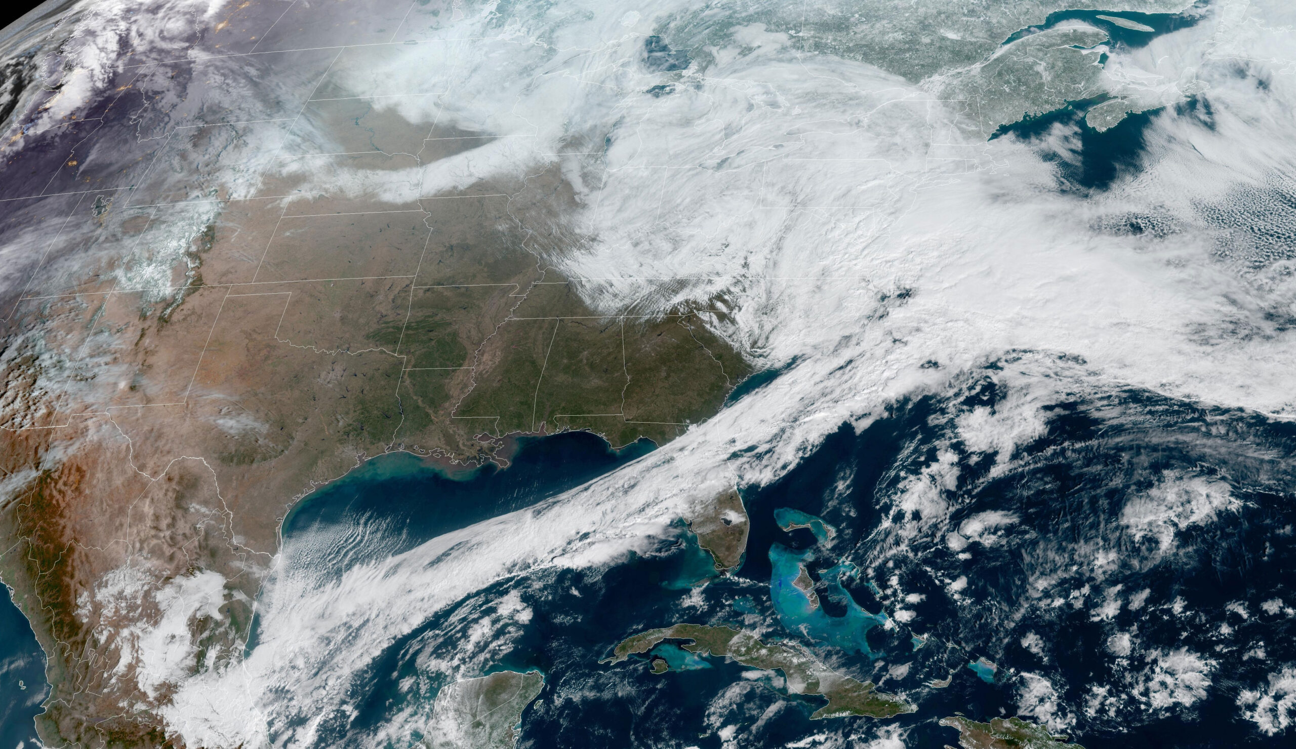
A satellite view of a massive winter storm making its way through the Northeast Sunday.
The storm developing off the Southeast Coast will qualify as a meteorological “bomb cyclone,” said Cody Snell, meteorologist with the Weather Prediction Center.
Just what does that mean? The technical description is on the geeky side — a barometric pressure drop of 0.7 inches in the center of a cyclone in a 24-hour period. Unofficially, it’s one mighty intense storm.
It so happens that the U.S. East Coast is in a prime area to experience the effects of those storms, according to the atmospheric scientists who are credited with minting the term in a 1980 paper, John Gyakum and Frederick Sanders.
The warm waters of the Gulf Stream are breeding grounds for potent storms that can form when cold air bounds off the coast.
Gyakum, a professor at McGill University in Montreal, recalled that well before the paper was published, the term “bomb” was used commonly in the halls of the Massachusetts Institute of Technology, where he was a grad student under Sanders.
The term has taken some blowback, but Gyakum argues that given the potential damage these storms can cause, “bomb” is appropriate.
Trash collection in Philly suspended through Wednesday
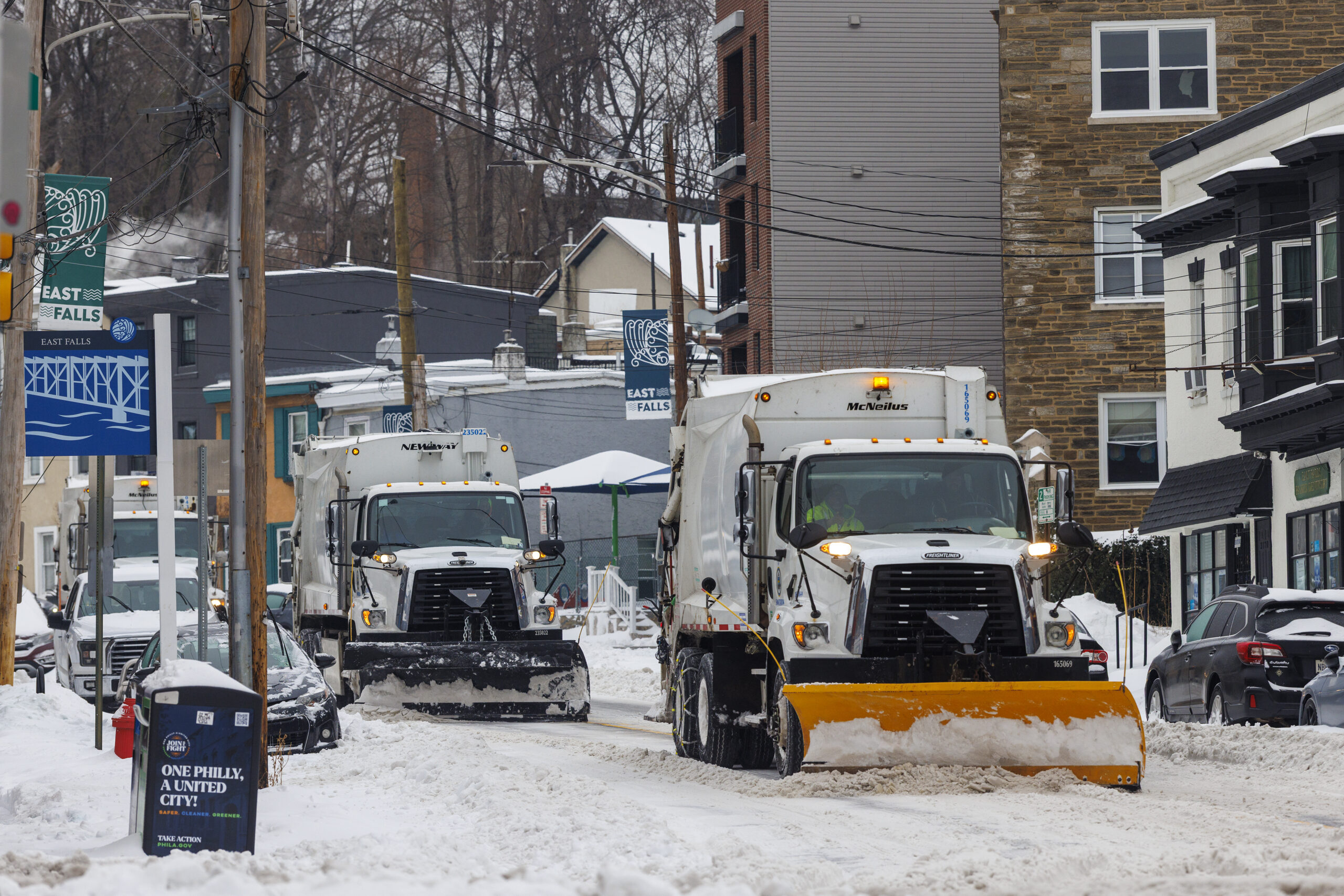
Sanitation Department trash trucks with plows clear snow during last month’s storm.
Trash and recycling collection in Philadelphia will be suspended the next few days as the city braces for as much as two feet of snow.
Collections are suspended Monday and Tuesday, the city announced. As of now, service will resume Wednesday on a two-day delay, with Monday collections picked up Wednesday and subsequent days following the same schedule.
The city is also suspending collections in rear driveways for the entire week, due to the possibility of trucks getting stuck in the snow. Residents are asked to set their materials in front of their homes for pickup.
Second trash collection is also suspended this week.
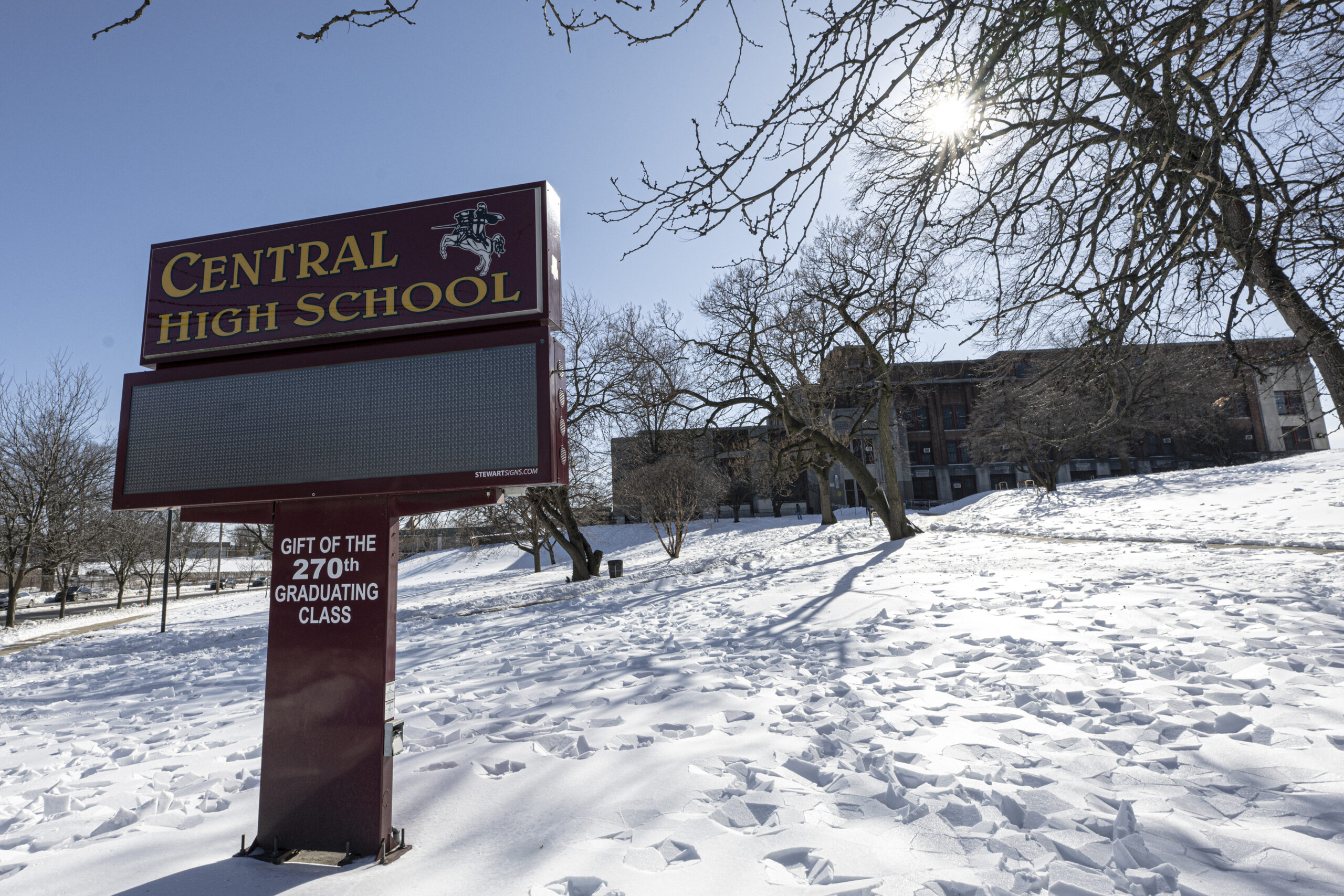
Central High School and the rest of the schools in Philly will be empty Monday.
With an eye toward the coming blizzard, the Philadelphia School District has already called a virtual instruction day for Monday.
All district offices will also operate virtually.
“While we work to the greatest extent possible to keep schools open for in-person learning to accelerate student achievement, we also consider the staff members who are commuting from across the region and keep the safety of students and staff as our top priority,” Superintendent Tony B. Watlington Sr. said in a message to families and staff.
The district gave students one full snow day in January, but has no more cushion built into its calendar. Any further inclement weather days will also be virtual instruction days, Watlington said.
“After Monday, if schools need to remain closed due to inclement weather, the district will provide an update to parents, guardians and employees regarding remote learning,” Watlington said.
Snowfall totals increase in latest forecasts; blizzard warnings expand
Up to two feet of snow could fall in Philly.
The National Weather Service expanded its blizzard warnings to include Philadelphia Sunday morning, as a “potentially historic winter storm” makes its way towards the Northeast.
Philadelphia, Bucks, Delaware, and eastern Montgomery Counties, and all of New Jersey and Delaware, are now under blizzard warnings through Monday.
Predicted snowfall has also increased in the past few hours, with as much as two feet of snow possible in the city. Winds gusts up to 60 mph and snowfall rates exceeding one to two inches per hour are also expected, forecasters said.
Blowing and drifting snow could create whiteout conditions, making driving dangerous and nearly impossible. The storm will certainly impact the Monday commute, with the strongest winds expected to occur Sunday night into the morning.
People are encouraged not to travel. Those who must do so should carry a winter survival kit.
“Travel could be very difficult to impossible,” NWS said. “Areas of blowing snow could significantly reduce visibility. The hazardous conditions will impact the Monday morning and evening commutes. Gusty winds could bring down tree branches and result in isolated power outages.”
Timing
Rain is expected to shift to snow by midday Sunday, and will continue through Monday afternoon. The heaviest snowfall is expected Sunday evening and overnight.
The blizzard warning remains in effect from 10 a.m. Sunday to 6 p.m. Monday.
The weather service included the Philly area in its blizzard warning after getting “higher confidence” data showing a likelihood of heavy snowfall and whiteout conditions in the region, said NWS meteorologist Ray Martin.
“Really, the bulk of the snow will start falling after sundown,” Martin said.
Philly snow emergency goes into effect Sunday afternoon; city government closed Monday as schools go virtual
Just as last storm’s snow has finally melted, Philly is expected to be covered with more than a foot of snow.
“Mother Nature has spoken again and made it clear that winter is not over,” said Mayor Cherelle L. Parker during an emergency press conference, declaring a citywide snow emergency, starting 4 p.m Sunday. “Yet another big winter storm is coming. It’s a major snow storm with real accumulation anticipated, and it’s heading our way.”
City government and courts will not open Monday, while public schools will switch to virtual learning. SEPTA riders should expect significant service disruptions over the next three days, said officials, who implored drivers to stay off the road Sunday.
Dominick Morales, the city’s emergency management coordinator, described the expected storm as “dangerous,” adding that heavy, wet snow could threaten trees and power lines.
“Dangerous because of the amount of snowfall that is being forecast in about a 24-hour period, but it’s also dangerous because of high winds — and for Philadelphia — near blizzard conditions. When this storm picks up, we have to take it seriously,” he said.
When all is said and done, the total snowfall may be closeto 18 inches in the city, and could surpass20 inches in South Jersey, where high winds are forecast to create blizzard conditions, according to the National Weather Service. Early Sunday morning, the weather service extended a blizzard warning to cover Philadelphia and Bucks and Delaware Counties, as well as eastern Montgomery County and all of South Jersey.
“It does look like it’s going to be quite an impactful storm for the whole [I-]95 corridor and further east,” said Sarah Johnson, warning coordination meteorologist at the weather service’s Mount Holly office, on Saturday.
This will lead to potentially dangerous driving conditions starting Sunday into Monday. And the Shore and Delaware Bay could experience flooding duringhigh tide Sunday evening.
The last time Philadelphia saw more than a foot of snow was 2016, when 22.4 inches fell in the city on Jan. 22-23.
Officially Philadelphia has not recorded a blizzard since March 1993.
To meet the criteria – three consecutive hours of winds of 35 mph or greater and/or heavy snow reducing visibility to a quarter mile for three straight hours – the conditions would have to be observed at the first-order measuring station, which is at Philadelphia International Airport.
The criteria weren’t met during the record 30.7-inch snowfall of Jan. 7-8, 1996, but at the time many meteorologists at the National Weather Service in Mount Holly argued that in the court of common sense it was indeed a blizzard.
It certainly acted and felt like on to those who experienced it.
Snow, after it hits 52 degrees? It’s happened before
On Saturday it reached 52 degrees in Philly as more snow vanished (not the mountains), and here we are a day later with a major snowstorm expected.
A warmup preceding a snowfall isn’t all that unusual this time of year, when the battles between the encroaching warm seasons and the retreating winter can be intense. Storms tend to form along thermal boundaries, and this is a prime for those contrasts. In today’s case an invasion of cold air is interacting with warmer air over the Atlantic Ocean.
Once powerful storms get going they can draw in cold air. Plus the upper air this time of year can be quite cold, and heavily falling snow can bring some of that to the surface.
One prime example of a snowstorm following a warmup occurred on Feb. 23, 1987. High temperatures the day before reached the low 50s. During the early morning hours of Feb. 23, heavy snow fell, accumulating 6.5 inches at Philadelphia International Airport, with totals several inches higher elsewhere in the city, and two feet in Downingtown.
On the plus side, a warmup after a snowfall isn’t all that unusual in late winter.
Philadelphia and its suburbs are forecast to receive 16 to 22 inches of snow and face blizzard conditions beginning Sunday and continuing into Monday, with weather prediction models sharpening their focus as the storm approaches.
“Mother Nature has spoken again and made it clear that winter is not over,” said Mayor Cherelle L. Parker during an emergency press conference, declaring a citywide snow emergency, starting 4 p.m Sunday. “Yet another big winter storm is coming. It’s a major snow storm with real accumulation anticipated, and it’s heading our way .”
City government and courts will not open Monday, while public schools will switch to virtual learning. SEPTA riders should expect significant service disruptions over the next three days, said officials, who implored drivers to stay off the road Sunday.
Dominick Morales, the city’s emergency management coordinator, described the expected storm as “dangerous,” adding that heavy, wet snow could threaten trees and power lines.
“Dangerous because of the amount of snowfall that is being forecast in about a 24-hour period, but it’s also dangerous because of high winds — and for Philadelphia — near blizzard conditions. When this storm picks up, we have to take it seriously,” he said.
When all is said and done, the total snowfall may be closeto 18 inches in the city, and could surpass20 inches in South Jersey, where high winds are forecast to create blizzard conditions, according to the National Weather Service. Early Sunday morning, the weather service extended a blizzard warning to cover Philadelphia and Bucks and Delaware Counties, as well as eastern Montgomery County and all of South Jersey.
“It does look like it’s going to be quite an impactful storm for the whole [I-]95 corridor and further east,” said Sarah Johnson, warning coordination meteorologist at the weather service’s Mount Holly office, on Saturday.
This will lead to potentially dangerous driving conditions starting Sunday into Monday. And the Shore and Delaware Bay could experience flooding duringhigh tide Sunday evening.
While forecasters saw trouble brewing for several days, it was not clear how heavily the storm would affect Philadelphia, Johnson said.
“Pretty much throughout the week, we were aware that there was going to be this storm system off the coast. The question was just going to be how close to the coast it came,” she said.
The storm is expected to begin with a mix of snow and rain Sunday morning, with the potential for only rain falling before dawn. By early to midafternoon, that is forecast to change over entirely to snow, Johnson said.
The blizzard warning is in effect from 10 a.m. Sunday to 6 p.m. Monday.
“We are also going to be seeing some gusty winds with the heaviest snow amounts,” Johnson said. Wind speeds of up to 45 mph late Sunday and early Monday have the potential to cause blowing and drifting snow that may make it difficult to keep roads clear, according to the weather service.
The blizzard warning is in effect from 1 p.m. Sunday to 6 p.m. Monday.
Johnson emphasized that whatever the storm brings, it will be significant for Philadelphia.
“The period that we are most concerned about in terms of both snow rates and wind is Sunday evening through the morning on Monday,” she said.
The storm arrives while the administration is still stinging from criticism over what many perceive as a slow and ineffective response to the January snowstorm, the biggest to hit the city in a decade, which left many neighborhood streets and byways encased in snow and ice for 25 days.
On Saturday, Parker said the city would be ready.
More than 1,000 emergency city personnel, 800 snow removal vehicles, and a reserve of 25,000 tons of salt will be deployed, she said.
“I want to be very clear,” Parker said. “We will do whatever it takes, for however long it takes, to ensure that we have cleared our streets and are keeping Philadelphians safe.”
Snowfall rates could intensify to as much as two inches per hour Sunday afternoon into evening, Parker said.
“It’s going to be a big one, and we’re going to be ready for it,” said Carlton Williams, city emergency management director.
Williams said two high-powered melters, often capable of melting 135 tons of snow per hour, would be strategically placed near residential locations, where snow removal proves difficult, though he did not exactly say where. He said the city is also adding more locations for residents to pile snow.
Williams and other officials requested the public’s help, asking drivers not to block corners, which prevents ploughs from accessing snow-clogged streets. Deputy Police Commissioner John Stanford was clear about parking:
“You cannot save parking spots,” he said. “If we are called to a location for any cones, chairs, or any other items out there, we will remove them.”
All Philadelphia public school activities will be canceled Monday, officials said.
SEPTA is expecting major delays.
“There are going to be significant disruptions to service all throughout the duration,” said SEPTA General Manager Scott Sauer.
<iframe src="https://media.inquirer.com/nws-snow-map/inq-snow-map.html" scrolling="no" frameborder="0" width="100%"></iframe><script type="text/javascript">(function () {window.addEventListener('message', function (e) { var message = e.data; var els = document.querySelectorAll('iframe[src*="' + message.id + '"]'); els.forEach(function(el) { el.style.height = message.height + 'px'; }); }, false); })();</script>
In contrast to the very low temperatures for days after the Jan. 25 storm that dumped a foot of snow in areas around Philly, temperatures are expected to rise above freezing on Monday afternoon.
Higher temperatures later in the week may help melt the snow, as opposed to the long-lasting snowpack after the January storm.
Pennsylvania Gov. Josh Shapiro and New Jersey Gov. Mikie Sherrill urged residents in their states to stay off the roads during the storm.
On social media, Shapiro said state agencies are prepared to respond to the weather in Eastern and Southeastern Pennsylvania.
Our teams at @PEMAHQ, @PennDOTNews, and @PAStatePolice are prepared to respond to snow and winter weather across much of East and Southeast Pennsylvania beginning tomorrow afternoon and continuing through the overnight hours into Monday morning.
Sherrill on Saturday declared a state of emergency ahead of the storm.
She said at an afternoon news conference that it was the first time since 2022 that the National Weather Service had issued a blizzard warning along the coastline.
The state of emergency will go into effect at noon Sunday.
“I know we just got through a historic winter storm just a few weeks ago — we all did it together by heeding warnings, staying off the roads, and taking public safety seriously,” Sherrill said. “Now we have another serious winter storm on our hands, and my top priority is your safety.”
Officials urged people to stock up on essentials ahead of the storm, keep electronics like cell phones charged, and avoid driving once the snowfall begins.
NEWS: In preparation for the severe winter storm, I am declaring a State of Emergency across all 21 counties in New Jersey – effective at 12:00 PM on Sunday, February 22.
I urge New Jerseyans to use caution, stay off the roads, and follow all safety protocols during the storm.
Sherrill advised New Jerseyans to stay home and suggested watching the U.S. men’s Olympic hockey team play for gold Sunday, doing a puzzle, and eating chili.
Staff writer Stephen Stirling contributed to this article.
A winter storm warning is in effect for Sunday — a blizzard warning for the Jersey Shore — and Sunday into Monday Philly’s snow has a shot at doubling the amount that fell on Jan. 25, the National Weather Service says.
“At this point, that’s certainly possible,” Zachary Cooper, meteorologist with the National Weather Service said Saturday. The official forecast is calling for just over a foot in the city, with the potential for the total reaching 18 inches.
Blizzard warnings up for the Shore, where onshore winds are forecast to howl past 35 mph, with moderate to major flooding possible.
While it wasn’t in the official language, the weather service on a Saturday morning might well have included a supermarket stampede warning.
The actual winter storm warning is in effect from 7 a.m. Sunday until 6 p.m. Monday.
Witha surprising level of agreement computer models and their interpreters Saturday were seeing the storm as being inevitable. It was forecast to affect the I-95 corridor from Washington to Boston — a rarity in recent winters.
The weather service listed a 25% chance that totals could approach two feet in the city.
“It’s going to be a long-duration event,” said Cody Snell, meteorologist with NOAA’s Weather Prediction Center in College Park, Md.
On the plus side, this will not have the staying power of the 9.3 punitive inches that accumulated on Jan. 25 and spent a three-week vacation in the region. No ice is in the forecast, and daytime temperatures above freezing and the February sun likely will erase most it by the end of the workweek.
(function () {window.addEventListener(‘message’, function (e) { var message = e.data; var els = document.querySelectorAll(‘iframe[src*=”‘ + message.id + ‘”]’); els.forEach(function(el) { el.style.height = message.height + ‘px’; }); }, false); })();
What time would the snow begin in Philly?
Precipitation is expected to begin Sunday morning, said Snell, possibly as a mix of snow and rain that becomes all snow.
Snow may have a hard time sticking during the day, said Tom Kines, senior meteorologist with AccuWeather Inc., since temperatures will be near or slightly above freezing and the late-winter sun will be a factor, even it’s just a rumor in the sky.
Plus the ground won’t be especially cold after a Saturday in which the temperature may approach 50 degrees.
However, the upper air is going to be quite cold, Snell said, and when the snow is falling heavily, as it is expected to do Sunday night, “it will cool the column.”
He said areas that get caught in heavy snow “bands” would see the highest amounts.
What would be so different about this storm?
The storm is forecast to mature into a classic nor’easter, so named for the strong winds generated from the Northeast.
Nor’easters are the primary source of heavy snows along I-95, but the ones that produce heavy snow from Washington to Boston have been scarce lately.
“Over the past several years, they’ve been few and far between,” Kines.
The Jan. 25 storm was not a nor’easter per se, said Snell, but more of a case of the “overrunning” of warm air over cold air producing the snow and sleet.
John Gyakum, an atmospheric scientist at McGill University in Montreal and a winter storm specialist, said he anecdotally has seen a trend of coastal storms intensifying too far north to have much of an impact on the Philly region.
If that were the case, it could be a symptom of global warming, said Steve Decker, meteorology professor at Rutgers University. Storms form where cold and warm meet, and that may have been happening farther north lately.
In any event that evidently won’t be the case Sunday.
What could go wrong with the forecasts?
Are you new around here?
The storm consists of multiple moving parts, and as it bounds off the Southeast coast, it is due to intensify rapidly over the warm Atlantic waters.
Meteorologists advised it was still unclear precisely how intense it would become and what path it would take.
Forecast busts have been known to happen, including a famous one 25 years ago. On a Friday, the weather service warned of a storm of “historic” proportions to begin that Sunday.
What Philly got was about an inch of snow that fell over three uneventful hours.
In 2015, the head of the Mount Holly weather service office publicly apologized for a busted forecast.
However, in recent years, the region hasn’t had all that many serious snow scares.
In this case, expect details to jump around even as the precipitation is falling, but Snell said “confidence is growing” that substantial snow is going to happen.
Inquirer staff writer Stephen Stirling contributed to this article.
Whatever unfolds almost certainly won’t resemble what came down from the skies on Jan. 25 or its obstructive aftermath, but accumulating snow Sunday into Monday is looking more likely.
The National Weather Service on Friday listed a 90% chance of precipitation, with a 75% likelihood of two inches or more of snow for the immediate Philadelphia region, and about a one in three shot of at least six inches.
And add about a 100% chance of uncertainty regarding how this would play out, said Richard G. Bann, a forecaster with the National Oceanic and Atmospheric Administration’s Weather Prediction Center, in College Park, Md.
Computer models continued to show a wide range of outcomes from a storm that was still two days away from developing, ranging from a gentle snowfall to a school and road closer. Expect differences to persist.
In addition to snow, a potent storm with powerful onshore winds could result in coastal flooding, the weather service office in Mount Holly advised.
“I don’t think we would jump to either end of the extremes,” Bann said, “but we can’t say anything is completely out of the realm of possibility just yet.”
The storm would evolve from multiple moving parts before maturing off the Southeast coast, he added. “Part of the equation is starting to come together but we’re still not there yet.”
By Saturday, he said, “hopefully we’ll kind of know what part of the chessboard we’re working on.”
When snow might begin in the Philly region
Timing issues are among those likely to be fine-tuned in the next couple of days, but the early thinking is that snow, or rain changing to snow, would arrive in the Philly region Sunday morning or in the afternoon, continuing into Monday.
The intensity of the snow and winds would depend on the strength of the storm, precisely where over the ocean it ripens, and the eventual track.
The U.S. model has been bullish on bringing it close enough for a major snowfall along I-95. The other models, not so much, but the weather service noted that one of the balkers, the European, had come on board with at least light accumulations for the region.
“We’re definitely going to be spinning up an area of low pressure,” Bann said, “but exactly what that means for D.C., Philly — any of us — is still in question.”
But on the plus side: No ice is expected in this go-round.
So much for the remnants of Jan. 25
One of the most-stubborn snowpacks in the period of record, which has mutated into one of the uglier snowpacks in the period of record, should be pretty much erased by the time any flakes start falling Sunday.
Submerged objects have been reappearing, evoking a surfacing submarine, and bare ground is becoming ever more visible.
A decent, soaking rain on Friday — perhaps double Philly’s month total so far, a mere 0.25 inches — and temperatures in the 40s, combined with a sunny Saturday with high near 50 degrees, should pretty well clear the yards. Those plowed-snow mountains are likely to survive a while longer.
The snowpack’s tenacity had everything to do with the two to three inches of sleet — melt-resistant white ice — that fell atop the several inches of snow on Jan. 25. The entire mess was locked in by an Arctic freeze.
Bann endured similar conditions in his area, and recalled that it was way harder to move out of the way than the Mid-Atlantic mega-snows of February 2010, when 35 to 45 inches accumulated.
He said he shoveled awhile, took a break, and then was astonished to see that his neighbors were finishing his work.
Asked if he sent them any thank-you gifts, he replied: “I haven’t stopped.”
You may have read this somewhere before: Computer models are seeing the potential for a significant winter storm to affect the Philly region on yet another weekend.
Those ingenious machines continue to predict that a storm will intensify off the Southeast coast Sunday into Monday. But “a large amount of uncertainty” remains about whether it will generate accumulating snow in the Philadelphia region, the National Weather Service said in its morning discussion Thursday. In the early going, areas south and east of Philly were the likeliest targets.
Based on past experience, not to mention the nonlinear chaos of the atmosphere, about the only thing certain was that they would be changing their stories multiple times in the next few days, as would their virtual peers.
In the short term, it is highly likely that, along with a certain dreariness, the region will be getting something that has been mighty scarce lately — rain. Philly’s rain total this month is under 15% of normal. Over the last 60 days throughout the region, it has been 40% to 50% below normal.
The forecast for the rest of the workweek in Philly
Our Trenton snow observer photographed these yesterday… inverse snow tracks! The snow was walked in when it was changing to sleet (ice pellets) back on January 25th, then the footprints filled up with sleet, and now the softer snow around them is melting faster than the sleet. pic.twitter.com/rLJvruzZrb
Atop the remnants, generally light winds have been aiding and abetting a rather stagnant air mass. A “code orange” air quality alert was in effect for South Jersey Thursday, and health officials advised those with respiratory conditions to limit outdoor exposure.
The primary irritants were tiny particulates, about 30 times smaller in diameter than a human hair.
Rain is likely to be in the air Thursday night into Friday, and it could be a substantial amount, on the order of a half-inch or more. So far this month, officially 0.25 inches have been measured at Philadelphia International Airport.
The moist air and the rain should erase more of the snowpack, “but we don’t want the snow and ice to melt too quickly,” said Ray Martin, a lead meteorologist at the National Weather Service Office in Mount Holly. No significant flooding is expected, just some potential damage to footwear.
Temperatures are expected to top out in the 40s Thursday and Friday.
About the weekend storm potential
It may hit 50 degrees on Saturday with an appearance of the sun. So much for the easy part.
Come Sunday, “there could be some rain or snow,” said Matt Benz, senior meteorologist with AccuWeather Inc.
A storm is due to slide across the South and eventually regroup off the Atlantic coast on Sunday.
But Benz pointed out that a key feature of the potential storm still was over the Pacific and not due to make landfall until sometime later Thursday, when it would be captured by land-based observation and give the machines a clearer idea of its intentions.
And it is not at all clear how much cold air would be available for snow, Benz said, but if the storm intensifies sufficiently, “it can manufacture its own cold.” Another factor is just where off the coast the storm would be when it matured.
In case you’re wondering why the atmosphere seems to pick on Sundays, having storms show up in seven-day cycles is a common phenomenon.
They often migrate in 3½-day cycles, which has to do with the rhythms of storm movements as they travel across the country, and it so happens that the more significant one has been arriving on the seventh day.
It keeps happening until it doesn’t, and it’s still very possible that it doesn’t this time around.
With the arrival of above-freezing temperatures, Philadelphia is declaring an end to an emergency response that lasted 26 days, closing the chapter on an all-hands-on-deck mobilization of various city departments that navigated the biggest snowfall in a decade and the persistent cold snap that followed.
The city’s “enhanced code blue” response began the Friday before a winter storm that blanketed Philadelphia with 9.3 inches of snow and sleet on Jan. 25. The designation allowed the city to deploy support services across departments for some of the city’s most vulnerable, living on the streets.
A preliminary estimate by the city puts the cost of the storm response at about $59 million, which officials said reflects the intensity of the storm and conditions that followed.
“A tremendous City workforce, outreach teams, first responders, nonprofit partners, and community stakeholders came together without hesitation,” Mayor Cherelle L. Parker said in a statement Tuesday. “Because of their coordination, compassion, and commitment, lives were protected during some of the harshest conditions we have faced this winter.”
Amid a bitter cold that hampered snow-removal efforts, the city embarked on a cleanup operation that lasted more than two weeks and combined heavy machinery and old-fashioned manual digging.
Here are some key numbers highlighting how various city departments mobilized and the costs they accrued.
Heavy machinery and dump trucks collecting piles of snow from Germantown and Thompson Street, Philadelphia, Wednesday, Jan. 28, 2026.
$46,021,516 in snow removal
The city crafted its $4.1 million snow operations budget for fiscal year 2026 using a rolling-year average of prior costs.
But the storm brought about a slew of unanticipated expenses and challenges, including snow removal, ice control, and other emergency operations.
The city looked to contractors to bolster its workforce as it launched a massive effort to treat and plow streets.
Contractor plowing and salting operations during the storm cost $13.9 million, while the post-storm contractor cleaning and lifting operations cost $31.8 million. The remainder of the expenses came from snow-related operations across departments, such as the activation of warming centers.
Part of what made the storm so costly was the uncooperative temperatures.
Amid complaints from residents over what was perceived as a slow cleanup, the city noted that the below-freezing temperatures created increasingly tightly packed ice that had nowhere to go.
The city even brought in a snow melter from Chicago, which eliminated 4.7 million pounds of snow in the first two days after the snowfall. The costs of melting, which is considered a specialized service, ran more than $139,000.
After the initial snow removal, the city moved to what it called its lifting operations.
Snowplows, compactors, front-end loaders, and backhoes took part in an intricate operation where snow was placed in dumpsters before being shipped off to more than 30 dumping sites.
The Philadelphia Streets Department mobilized up to 300 pieces of equipment on any given day in an effort to leave no street untreated.
The city went through 15,000 tons of salt through the three-week cleanup amid other challenges, such as an icy Delaware River that temporarily blocked additional salt orders, and the rising cost of salt post-storm.
The cost of salt was more than $1.2 million.
Emily Street is still covered in snow near Furness High School (top left) on Wednesday, Jan. 28, 2026 in South Philadelphia.
18,340 ramps cleared
The massive cleanup had the city looking at creative ways to boost the number of workers clearing streets.
The streets department tapped participants in its Future Track Program for snow-removal efforts early on. These are trainees, typically at-risk young adults, who are not enrolled in higher education and are unemployed. They get job experience, as well as other services, and they help in beautification projects.
The trainees cleared hundreds of ADA ramps across Philadelphia.
But more than a week after the storm, the city was still being flooded with complaints about inaccessible crosswalks and SEPTA stops piled with ice.
That’s when officials tapped into a city program that pays people the same day for their work, deploying 300 people to help chip and sweep away the hardened ice with shovels and brooms.
The city assembled a more than 1,000-person workforce for cleanup efforts this way, deploying a mix of city employees, contractors, and participants from the same-day pay program.
In all, the city said, the crews worked nearly 2,300 intersections, clearing 18,340 ADA ramps and about 2,800 SEPTA stops.
The use of contractors, however, was met with pushback from American Federation of State, County and Municipal Employees District Council 33, the city’s largest municipal workers union, which said the decision was made without consulting the union.
“Our members are the trained, dedicated workforce responsible for this work, and it is disheartening to see the administration move forward without even a discussion on how best to manage these challenges,” DC 33 president Greg Boulware said in a statement in early February.
(function() { var l = function() { new pym.Parent( ‘phillysnowcosts__graphic’, ‘https://media.inquirer.com/storage/inquirer/ai2html/phillysnowcosts/index.html’); }; if(typeof(pym) === ‘undefined’) { var h = document.getElementsByTagName(‘head’)[0], s = document.createElement(‘script’); s.type = ‘text/javascript’; s.src = ‘https://pym.nprapps.org/pym.v1.min.js’; s.onload = l; h.appendChild(s); } else { l(); } })();
22 warming centers
The cold snap presented another life-or-death challenge for the city: how to get people living on the streets indoors.
Between Jan. 20 and Feb. 14, homeless outreach teams worked nonstop distributing more than 2,800 warming kits, 4,000 fleece blankets, 700 cases of water, and 35,000 food items while trying to get people to take a shelter bed or go to one of the city’s 22 so-called warming centers.
The code blue designation allowed the city to activate some libraries and recreation centers as hubs for people looking to escape the cold.
The warming center operation was seen as lifesaving, largely supported by library staff. Between Jan. 19 and Feb. 11, New York City recorded at least 18 cold-related deaths; Philadelphia had three over a similar time frame.
Still, after 20 days of 12-hour operations, staff at the daytime centers described a lack of support from the city when it came to dealing with people who had medically complex issues requiring behavioral health support and wound care. (One library staffer said more city-assigned support staff showed up at the daytime centers after The Inquirer published a report about workers’ concerns.)
Philadelphia officials said more than 100 people from more than 20 city and partner organizations helped support the warming centers.
Nighttime warming centers had about 4,400 overnight guests, according to the city.
Mount Market Street at 7th Street, Center City Philadelphia, Tuesday, Jan. 27, 2026. Large pile of snow on northeast corner of Market and 7th.
$50 million from general fund
Because snow operations exceeded the initial amount allotted in the budget, the city plans to transfer $50 million from its general fund to its transportation fund.
Even so, the city said its general fund remains higher than projected in its five-year plan because of a larger-than-anticipated general fund balance in the previous fiscal year.